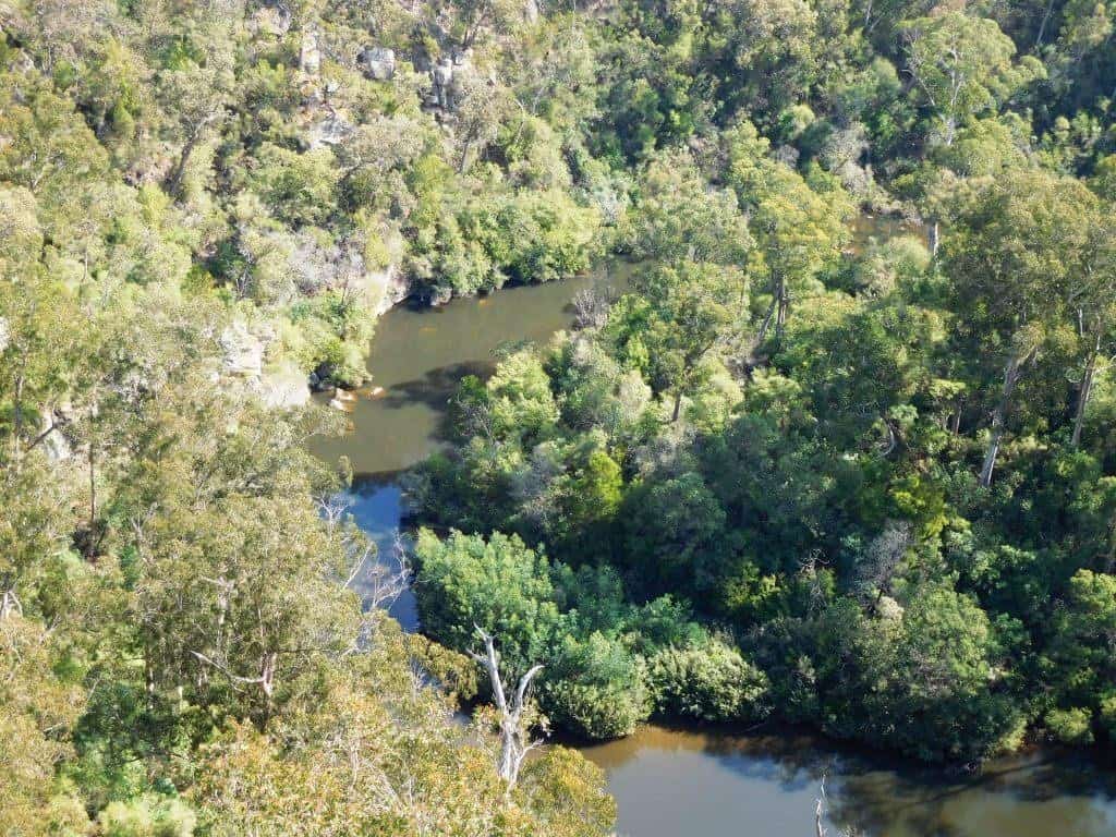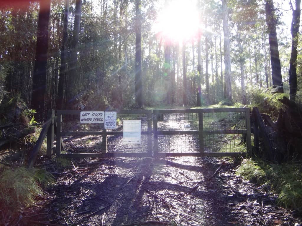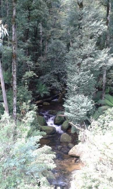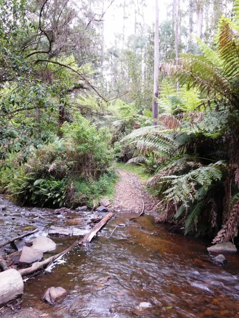
Upper Yarra Track: O’Shea’s Mill:
Now (also) called East Tyers Campground I see. This is the first major stop after you leave Walhalla (12.5km away), some of them fairly steep. As you can see it is where the Alpine Walking Track crosses the East Tyers River. Campsites, Water, Toilet available. You could have dropped by Rawson on the way here […]