Australia best walking track

Upper Yarra Track Map:

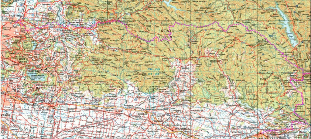
Here is a map showing the whole of the (Extended) Upper Yarra Track from Lilydale all the way to Moe, approximately 250 km and 8-10 days: Australia’s oldest and best long distance hiking track. It could be a better map, but it is better than no map. I have used the 1:250,000 Australian Topo map […]

Upper Yarra Track Map: Read More »

Anderson’s Inlet:

What a beautiful shallow bird-filled inlet where the splendid Tarwin River meets the Southern Ocean (Sth Gippsland Victoria). Having already walked from San Remo or Rye (Phillip Island) along the coast, you can now walk from Inverloch along the shoreline, cross Screw Creek (on a bridge) then continue on, sometimes on the shoreline, sometimes on

Anderson’s Inlet: Read More »

Yarra Falls Shelter House:

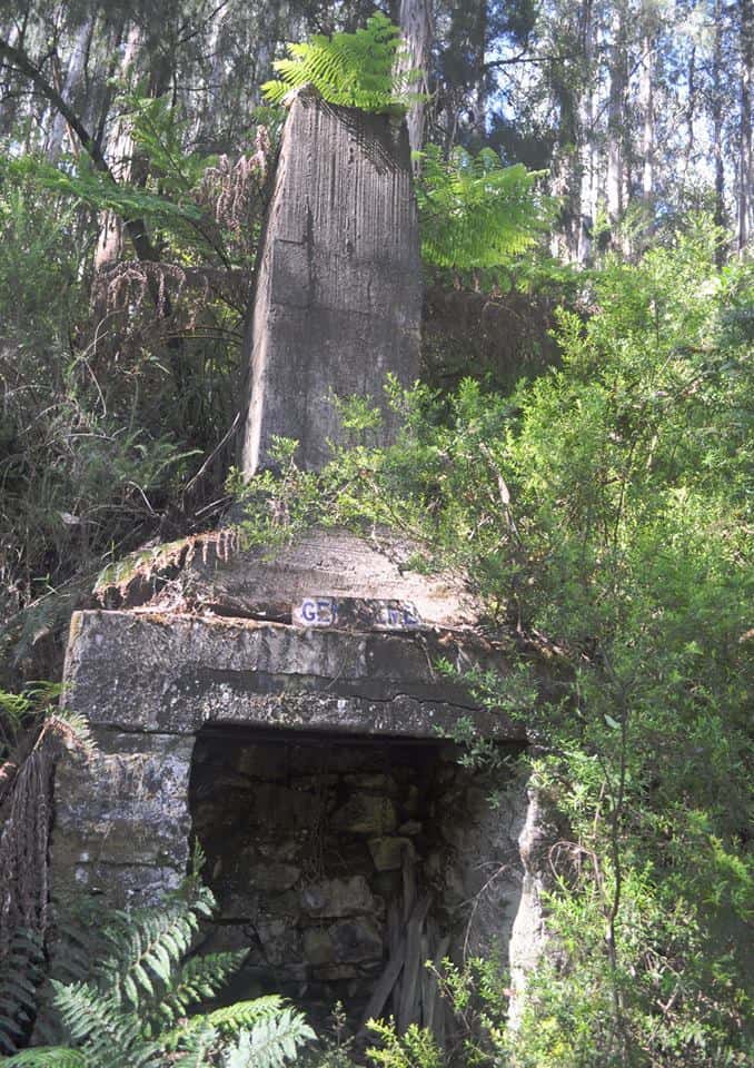
A reader has located the ruins of this magical place and forwarded some wonderful photos: ‘It is on the South West side of the junction fairly high up, where the tree ferns diminish (beneath one of the highest on the edge of the spur). It is extremely difficult to find and you could walk within

Yarra Falls Shelter House: Read More »

Upper Yarra Track Historic Photos:

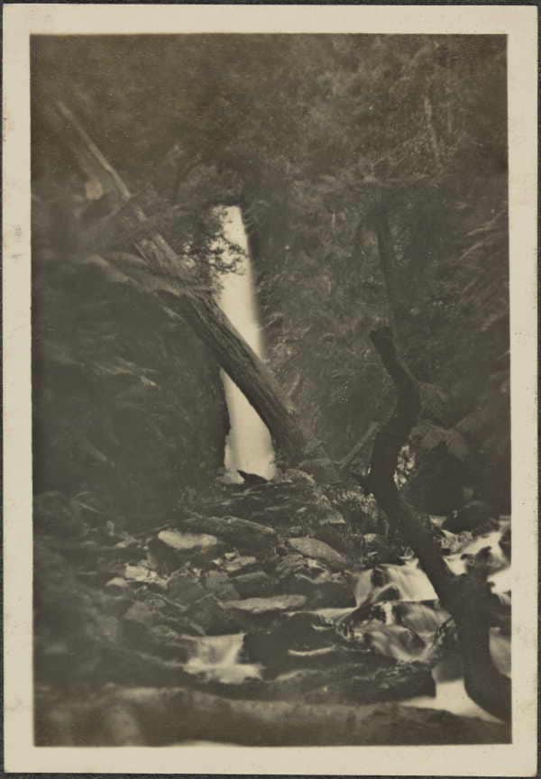
Courtesy of Thomas Osberg, here are some wonderful photos of the track in bygone days. http://www.finnsheep.com/THE%20UPPER%20YARRA%20WALKING%20TRACK.htm They begin at approx McVeigh’s Hotel (now under the Upper Yarra Reservoir), and finish at Walhalla. The captions are my surmise (and might not be correct). The changes in hiking costume and gear from that day to this are

Upper Yarra Track Historic Photos: Read More »