Gippsland best walking track

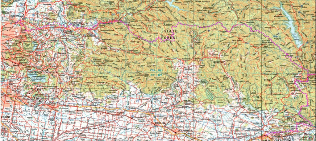
Upper Yarra Track Map:

Here is a map showing the whole of the (Extended) Upper Yarra Track from Lilydale all the way to Moe, approximately 250 km and 8-10 days: Australia’s oldest and best long distance hiking track. It could be a better map, but it is better than no map. I have used the 1:250,000 Australian Topo map […]

Upper Yarra Track Map: Read More »

Anderson’s Inlet:

What a beautiful shallow bird-filled inlet where the splendid Tarwin River meets the Southern Ocean (Sth Gippsland Victoria). Having already walked from San Remo or Rye (Phillip Island) along the coast, you can now walk from Inverloch along the shoreline, cross Screw Creek (on a bridge) then continue on, sometimes on the shoreline, sometimes on

Anderson’s Inlet: Read More »