2014: Wilderness: Just spent a couple of days with Spot in the heart of the Snowy Bluff-Mt Darling Wilderness (around 1500 metres). The ‘easy’ way in is to follow the old ‘Carey Rd’ (closed 20 years ago) 200 metres on the right before Dimmicks lookout (off the Howitt Rd above Licola). It deteriorates to (virtually) impenetrable thickets occasioned by wildfire regrowth (especially after the Mt Darling Gap – which would make a reasonable day walk), but it represents a reasonable ‘line’ to take.
Postscript 2020: I am going there again in the next couple of weeks as the coronavirus and my weak knees keep me from Fiordland this year. I think I have studied things a lot better on the topographical maps this time. The going should be better as it burned in early 2019 except along the Mount Creek). There should also be plenty of water this year (at least in the Mount Creek) – and I think I see a couple of spots worth checking out in the vicinity of Mt Billabong too. PPS: I noticed the photos in this old post had become distorted and on checking all my old posts are the same. It will be a lot of work but I will go through and fix them.
You have to be paying close attention at the Mt Darling Gap or else you will lose the track. It switchbacks back underneath the way you have just come. Keep your eyes peeled. When you come in sight of the Mount Creek there is an intersection. The Carey Rd swings sharp left here, the other fork crosses the Mount Creek. Depending on how thick it is you might be better leaving the track at the gap and just climbing straight ahead over the ridge and rejoining the track at the Mount Creek.
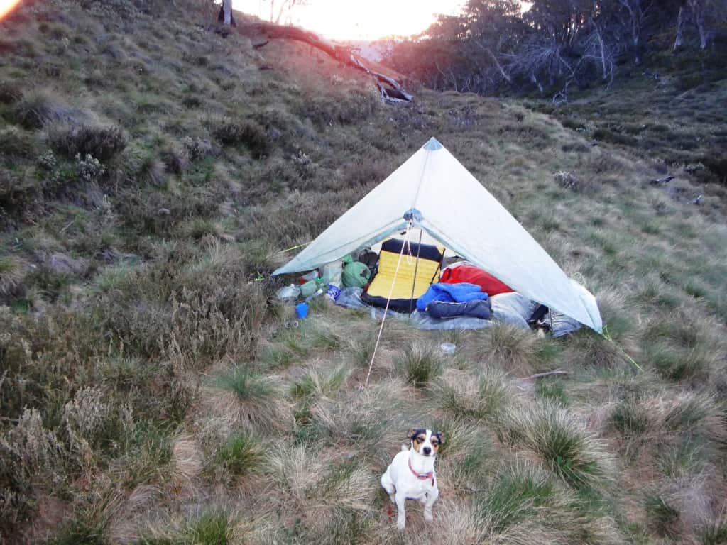
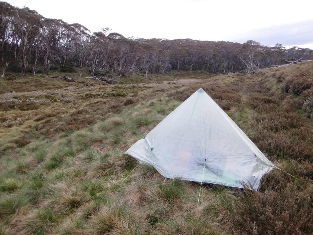
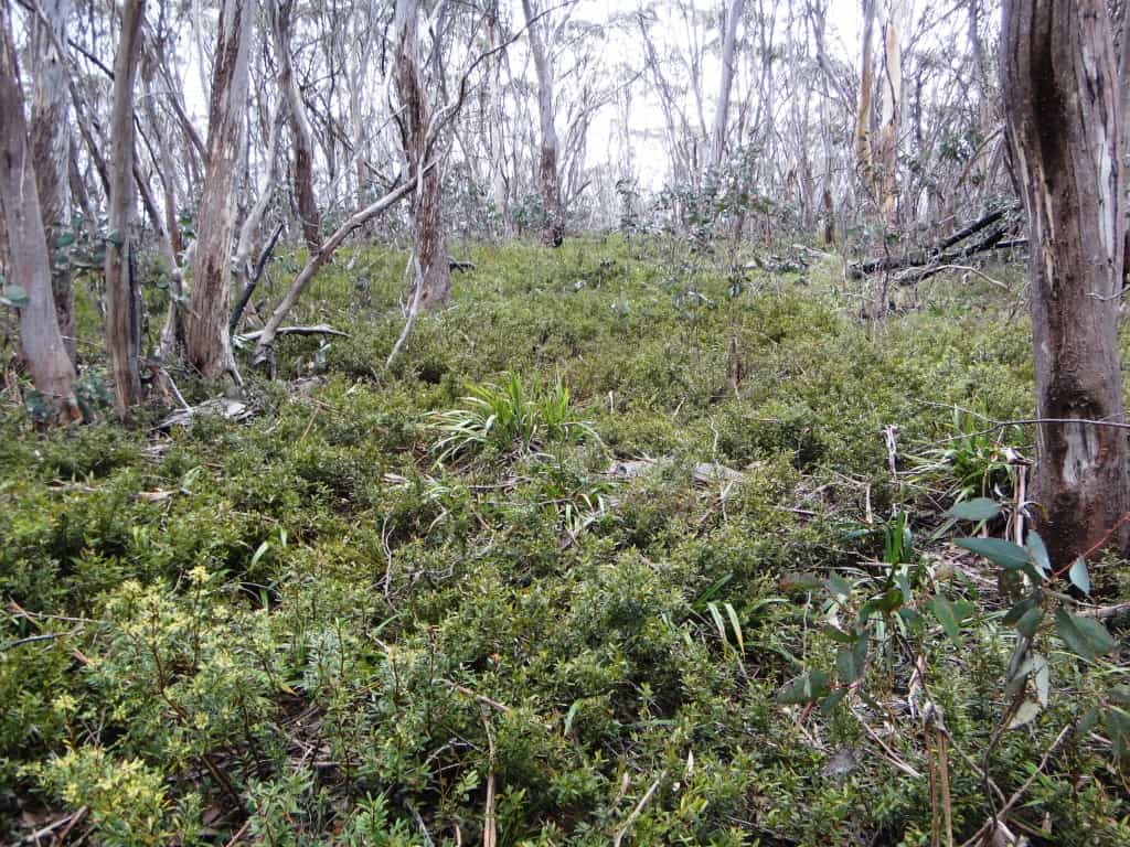
There is an old hunter’s camp at the first crossing of that Mount Creek (which is a tributary of the Carey), but it has been unvisited for a long time (just too thick to hunt) and still very short on wildlife after that devastating fire event. Just before the second crossing of the creek you break out onto a pleasant snowgrass plain/valley which is (probably) the last water on the ‘track’ to Mt Darling. We camped here but did not have a fire due to the flammability of the poa tussock and the shortage of wood nearby to a flat spot.
Spent hours trying to fight our way up the ridge towards Mt Darling. I guess we turned back just before the Billabong (mountain – weird name). Just so many dead-falls of fire-killed snow gums and heath regrowth which wear you out stepping over them. I was not carrying enough water to camp at Mt Darling. It was a hot day (despite BOM predictions – yet they know what it will be like in a century!) and I turned back when we had consumed half the three litres I was carrying. (PS: I will probably take a different route next time, but the fire last year may have reduced the heath vegetation to something walkable through).
WARNING: water could be a problem. TAfter you finish the switchbacks wich parallel the head of teh carey Creek so you can walk over (20 metres) to get water there) there was one small trickle after aboiut half an hour on the uphill side of the track until the first crossing of Mount Creek ( at least 3 hours if the track is clear). It is in a culvert about five minutes after you pas a beautiful plum tree on the uphill side of the track. I’d guess water is pretty reliable in Mount Creek but might dry up at the head (another hour) in the summer. After that: probably nothing unless you drop a long way down into the Conglomerate or Mt Darling creeks! BTW There may be seepage in the head of a Mt Darling Gully above Billabong Mountain. Look for a green spot. I did not get that far.
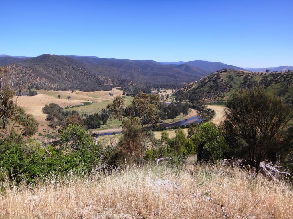
Speaking of which: I notice that you can walk a ridge down to the Mt Darling Creek intersection with the Wonnangatta (where I used to have a camp), and that you can cross the creek and walk back up again along a different ridge to our snowgrass camp at the head of the Mount Creek via Mt Short. I will be doing this one day – or perhaps several!
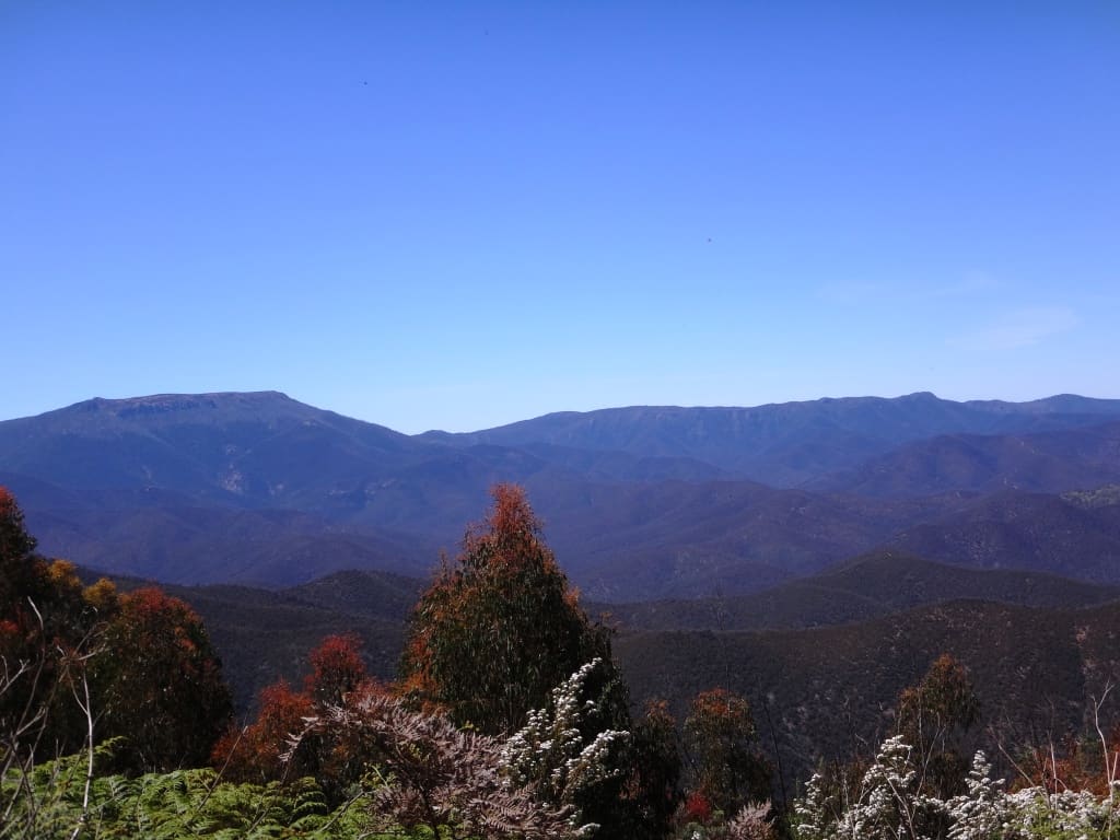
Head of Mt Darling Creek (Carey River Tributary) View West
View East
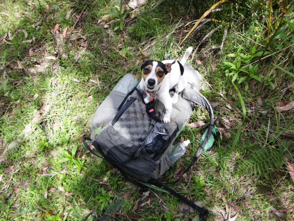
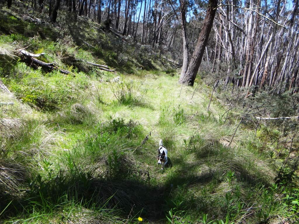
Spot enjoying himself at the Mt Darling Gap.
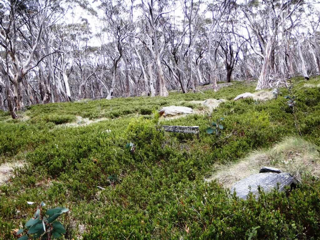
Mt Darling Track: the sign reads, ‘Track Closed’
Mt Darling ‘Track’
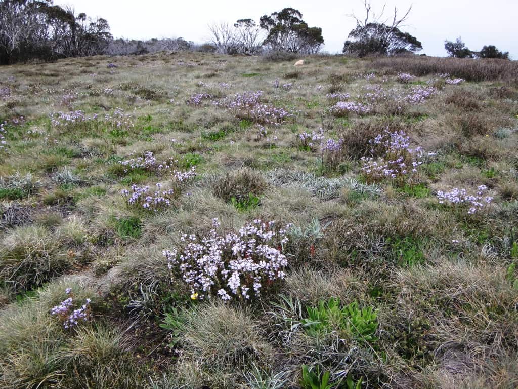
Lots of pretty purple wildflowers on the snow grass plains, but not a patch on Della’s roses!
Carey ‘Road’ (falsely) promised easy going.
The road to: the Lost Plain.
The road to: Bennison Lookout.
The road to: the Devil’s Elbow.
First Published Nov 21, 2014
See also:
http://www.theultralighthiker.com/wonderful-wilderness-areas-in-victoria/
http://www.theultralighthiker.com/spots-hunting-adventures-1-mystery-river/
http://www.theultralighthiker.com/not-quite-alone-in-the-wilderness/
http://www.theultralighthiker.com/camping-by-the-moroka-river/
https://waynemerry.wordpress.com/2014/01/05/mtdarlingrange/
https://mbw.org.au/mbw_activities/MBW_tripnote.php?tripid=2004030502
We went in to Snowy Bluff from Shanty Hollow just before COVID close down. Road off Mt. Kent road to Shanty Hollow is currently 2 wheel drive accessible. All major logs cleared. Problem is it brings in the riff-raff who can’t avoid polluting the area with toilet paper, used cans and numerous fire places. Never-the-less, we were a lot fitter for the day walk from the Hollow to the Bluff and back. Compared with last time (2018) the going is really good along the Dawson Ridge. A 2019 fire has cleared all that awful and dense re-growth which aids in progress and visibility. It was a 12 hour journey carrying water as there is none on the ridge walk. Little sign compared with earlier trips.
Thank you for that information Martin. Cheers, Steve.
Thanks for that information Martin. Cheers, Steve.
Hello, great read, I’m looking to go the same route out to my darling, did you have a gps file for Carey Rd, I have just started hiking and love remote areas like this
Thank you
Steve
Hi Steve, I don’t own a GPS I’m sorry. I use a Phone App called ‘pdf maps’. I have done a post about how to load the original version of this App so it will open an infinite number of maps. I used the relevant Vicmaps (Moroka North) for the area and had no trouble. It is easy to find the Carey Rd. It is on the right just before you get to Dimmicks and is clearly marked ‘Road Closed – Management Vehicles only’ etc. You have to be alert at the Mt Darling Saddle as the Road does an unexpected switchback rather than going straight ahead across the saddle. You will see what I mean. I am hoping to take my wife there over the summer if my back heals well.There may still be a hut along the other (eastern) side of the Mount Creek downstream of the crossing but after you start seeing the creek from the track. Let me know if you find it. Go there after rain – you will need there to be water in the Mount Creek. The earlier version of the map is more useful as it shows the roads/tracks. I can email you a copy but I have not figured out how to georeference it. Cheers, Steve.
You’ve got a great blog here, will spend some time perusing!
When I climbed Snowy Bluff about two years ago, I went up from the Moroka Valley, through moderately dense rainforest! It was one of my first off-track experiences, but certainly not the last! Spectacular part of the world.
Thanks for following Mountains of Australia!