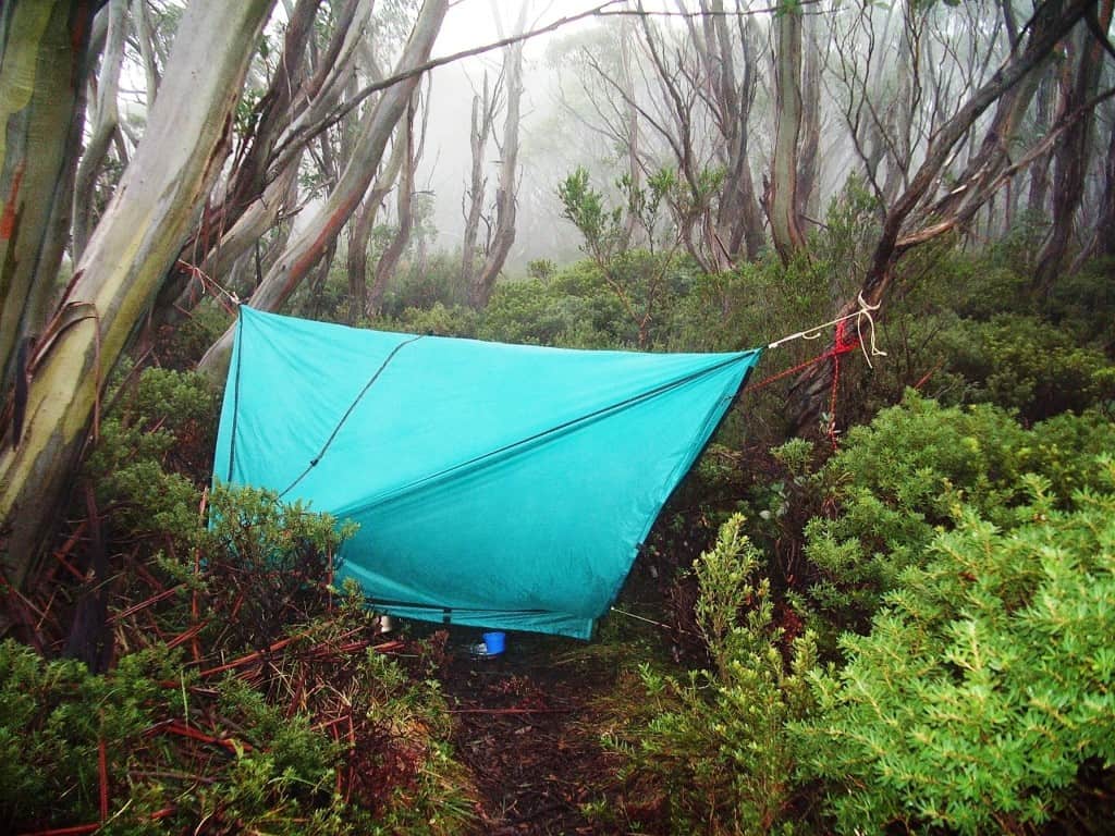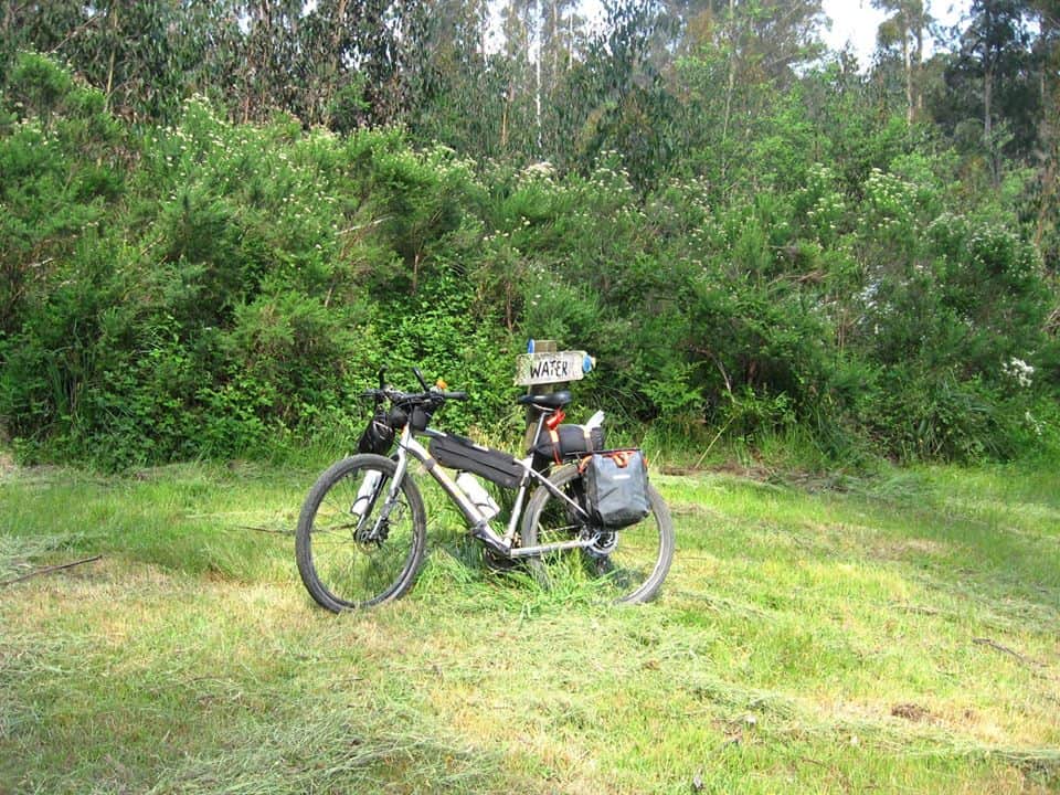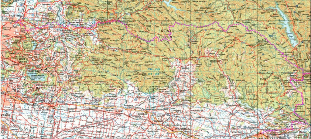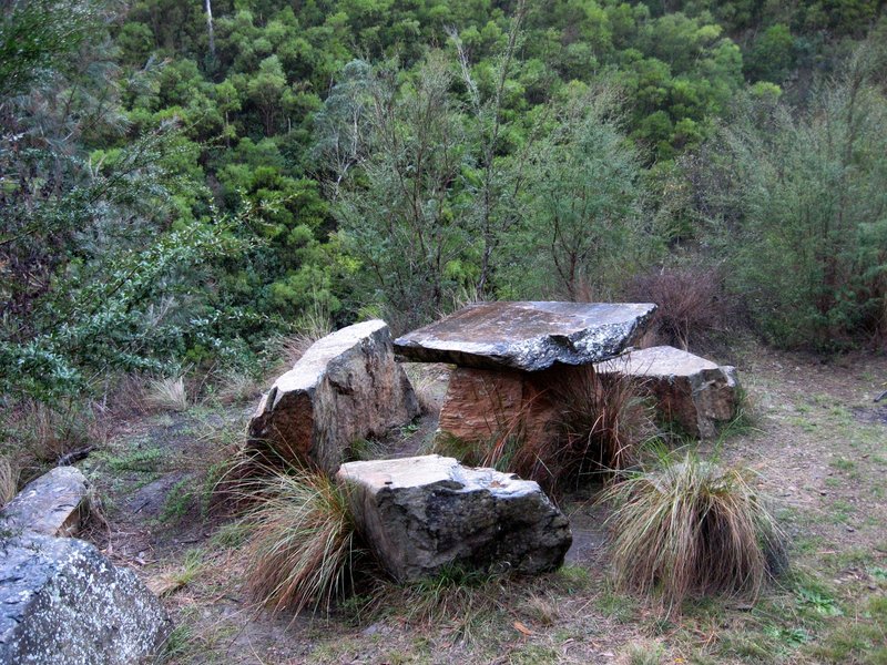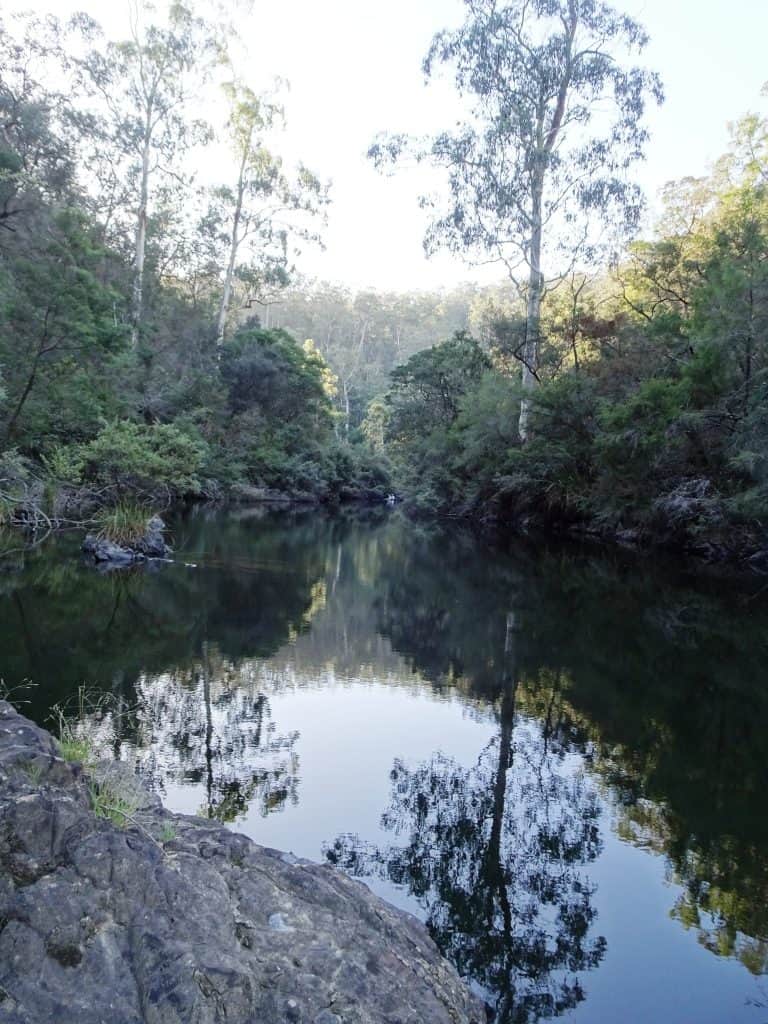
Upper Yarra Track Instructions:
I have posted dozens of times about this wonderful trail which (in an extended version) can be walked all the way from Moe to Lilydale. Here is some indication of track times and distances and here is a detailed set of instructions. Below you can find some of my posts about it in the order […]