Warburton to Bairnsdale Ride courtesy of Gerard White. There are many adventures you can have starting in Melbourne and utilising the wonders of the marvelous Upper Yarra Track. As you can see Gerard has just ridden his bicycle all the way to Bairnsdale. You can see the route he used here: Bundoora to Bairnsdale Route.
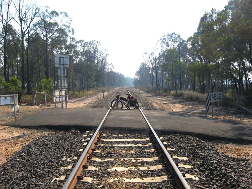
He has ridden along the Upper Yarra Track from Warburton all the way to Myrrhee then looped around the North side of the Baw Baw Plateau utilising the Thomson Valley Way, then the Tyers-Rawson Rd, then the Cowarr-Rawson Rd. From Cowwarr he was able to utilise the Rail Trail pretty much all the way to Bairnsdale (and indeed Orbost -if he had had time).
An allternative would have been to utilise my Upper Yarra Track Winter Route (search for posts in the search box below) via Tanjil Bren and the Western Tyers to Collins Siding, and Jacobs Creek thence onto the Rawson-Cowarr Rd. This would have been a little less busy – but the Upper Thomson Rd is one of the most scenic anywhere in the world and coasting down it and then down the Tyers Rawson Rd must have been a delight.
Just after Myrrhee (on Gerard’s route) you pass the Block 10 Rd. A km or so down it is the junction with Newlands Rd. The Upper Yarra Track (walking) takes this route. (Here are my instructions for the Upper Yarra Track including camping spots and water availability. Here is a map). It would probably be possible to take a mountain bike this way to Stronach’s Camp but the track is very overgrown from Franjipani saddle to the junction with the Alps track which is a pity as Newlands Rd is perhaps the most beautiful road in Victoria. Anyway as you are going past it anyway you could go take a look. It will never be cleared by public servants so if you have a bit of energy to spare feel free to lend a hand. There ia a delightful camp about a km into Newlands Rd . There is a short side track on your left which leads to a delightful dam with many resident trout.
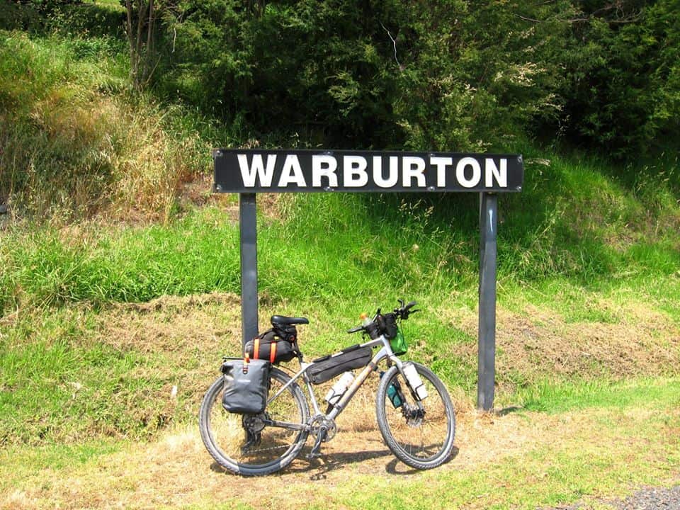
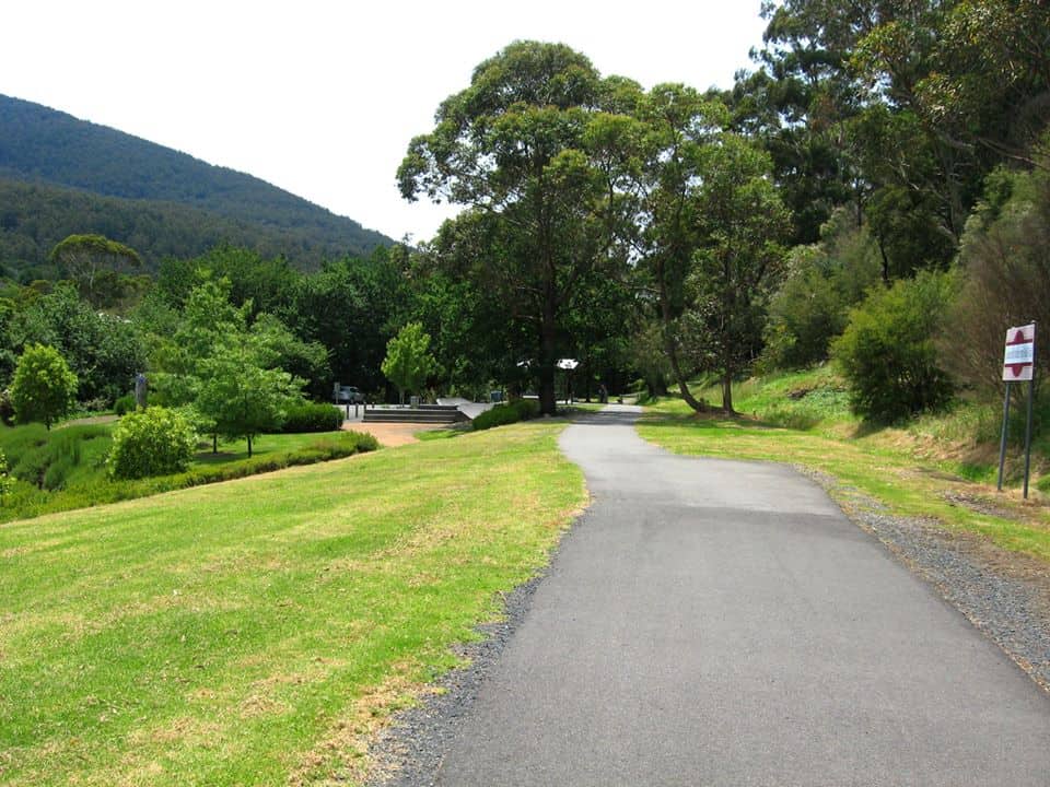
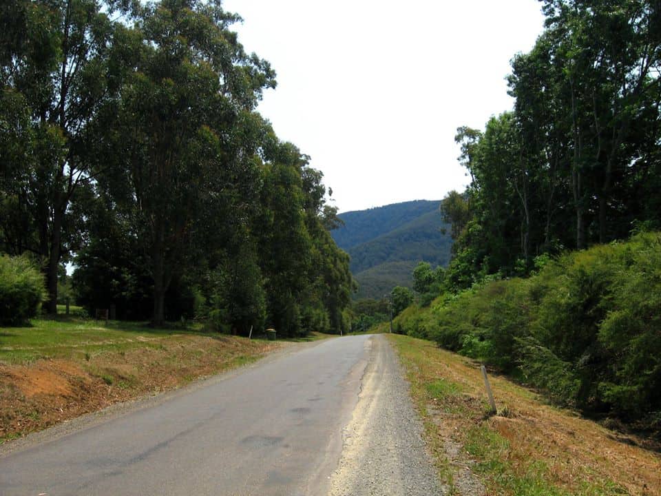
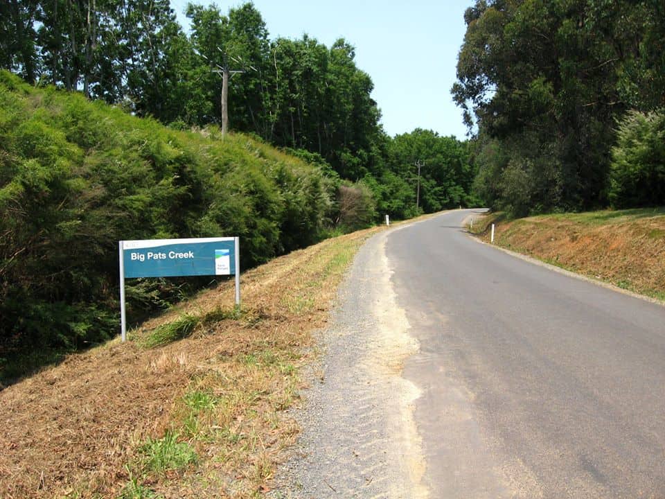
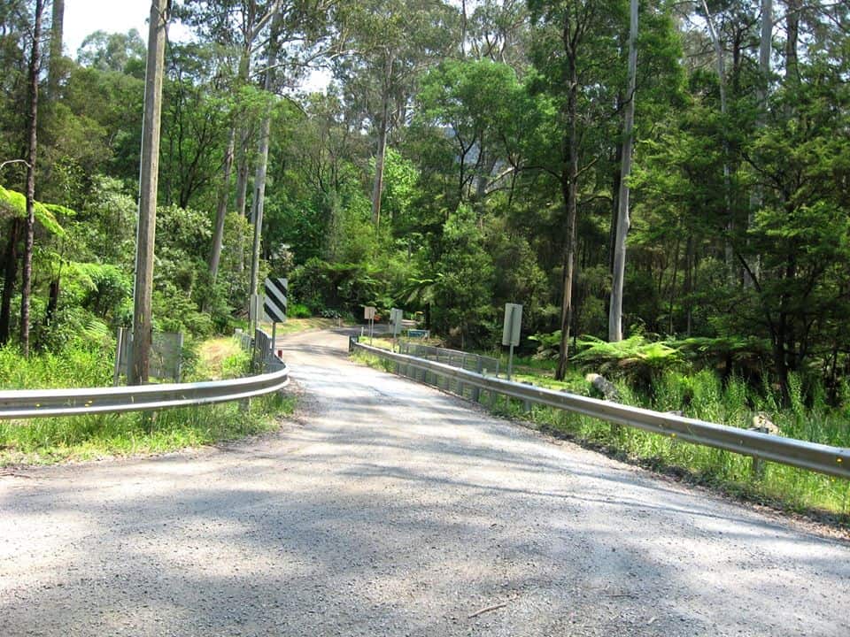
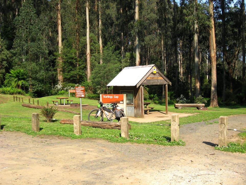
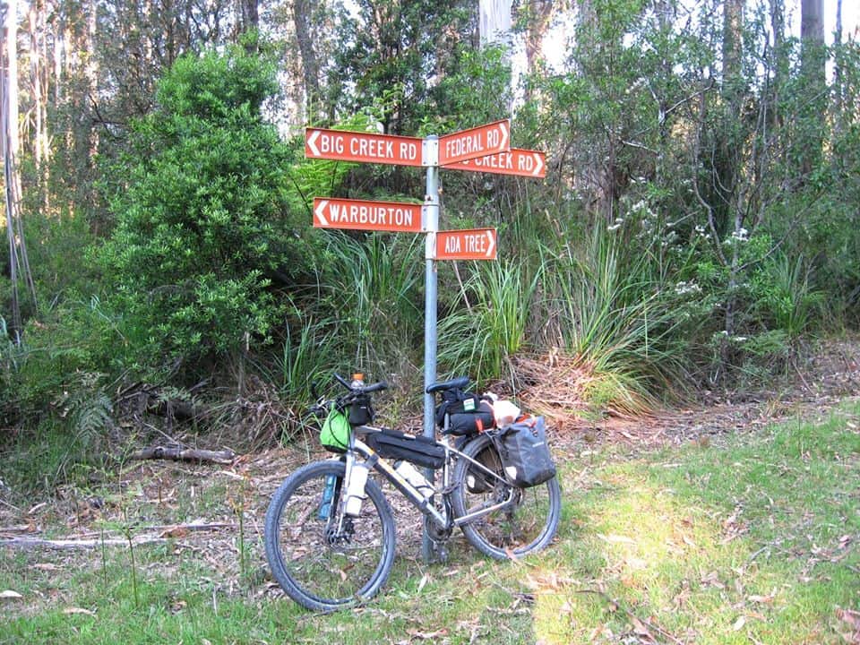
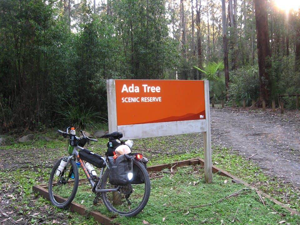
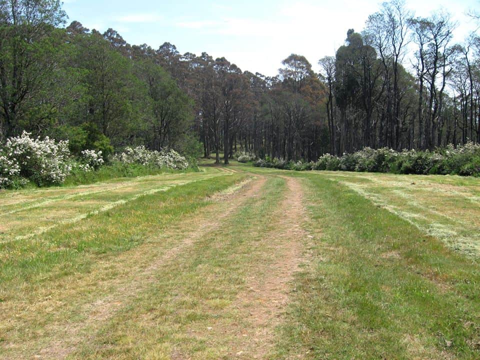
Day 1 – Warburton to Ada Tree
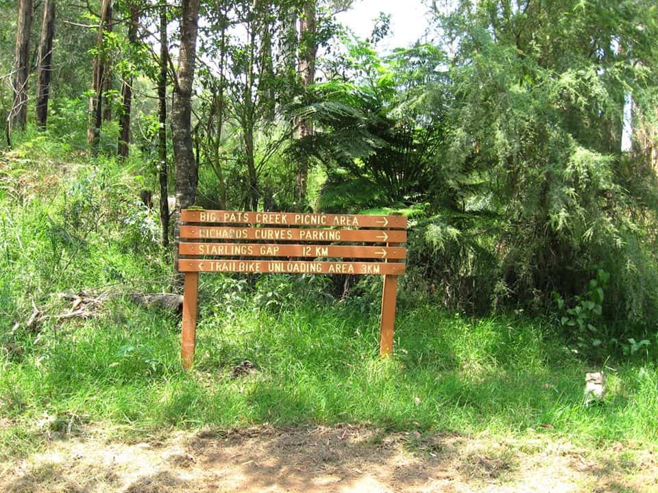
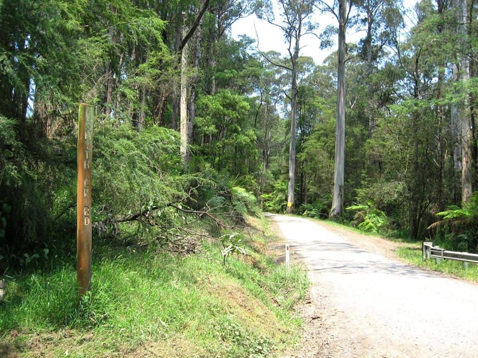

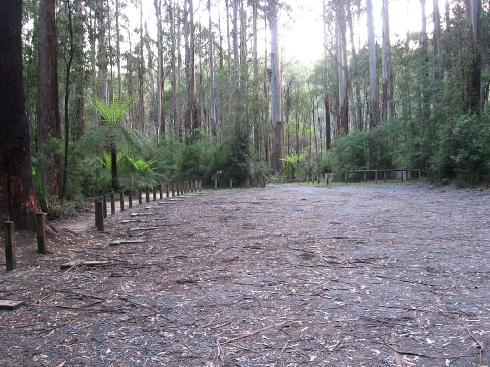
Day 2 – Ada Tree to Stronach’s Camp.
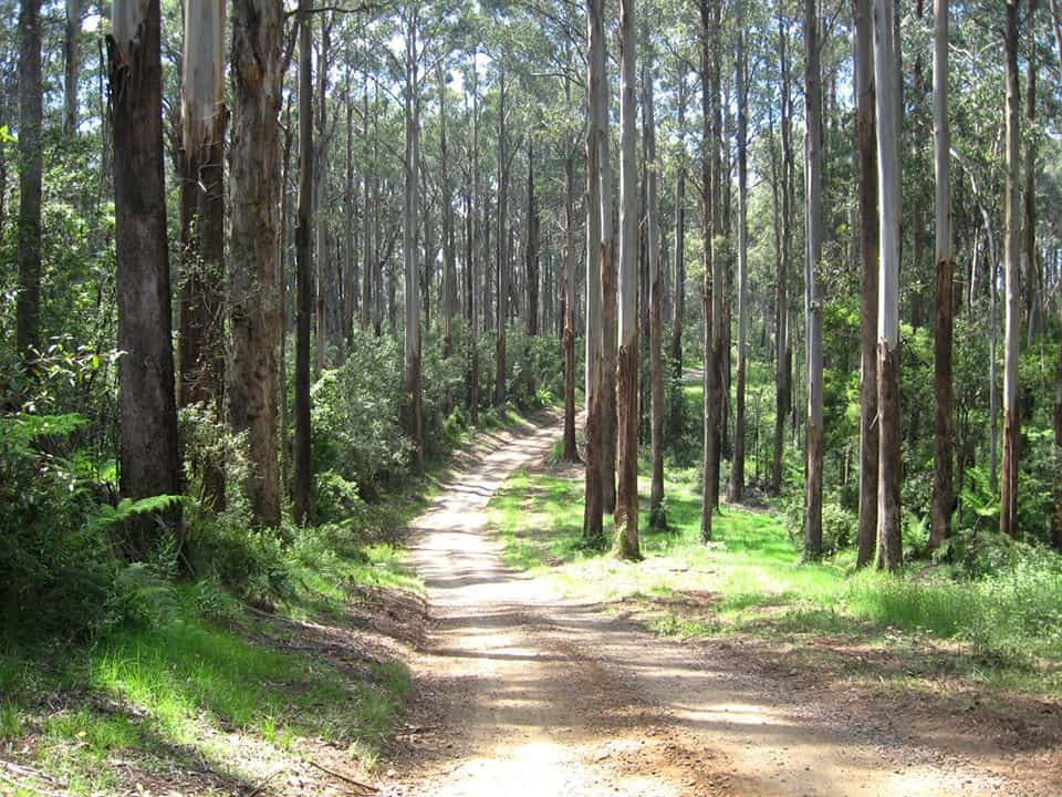
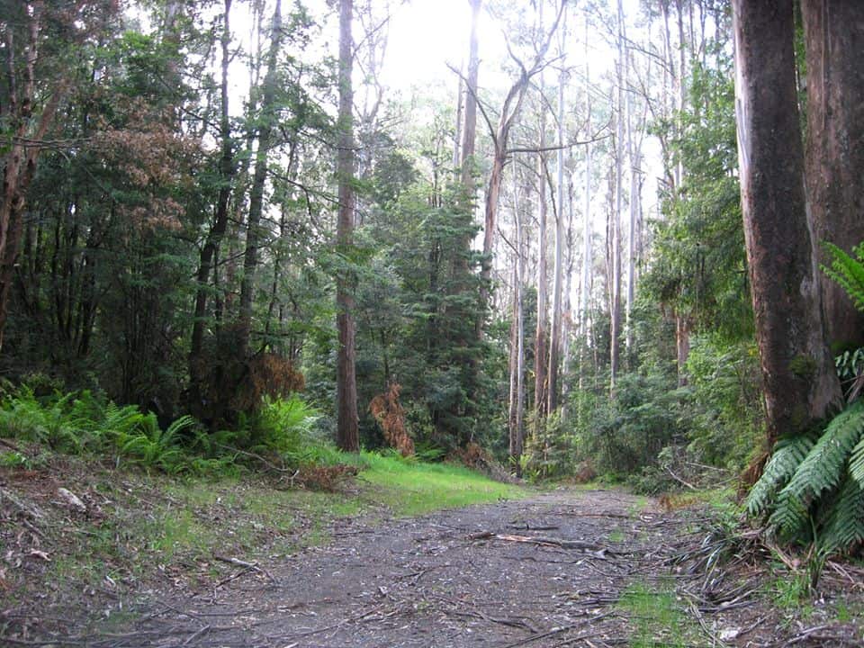
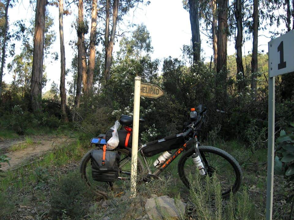
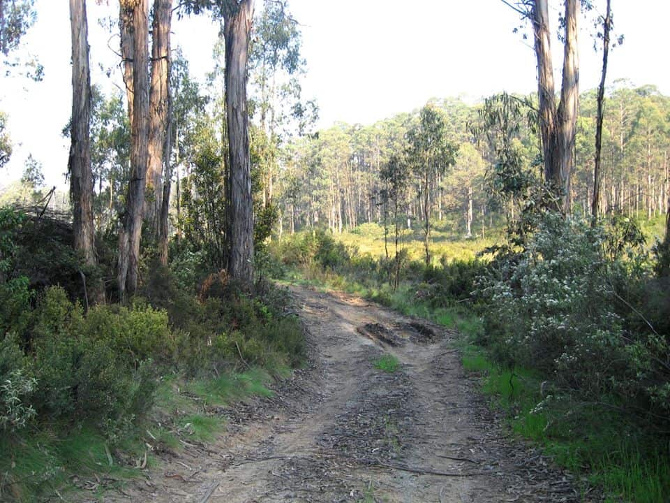
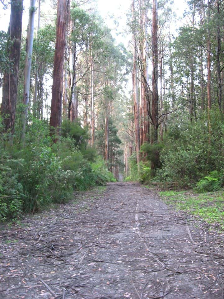
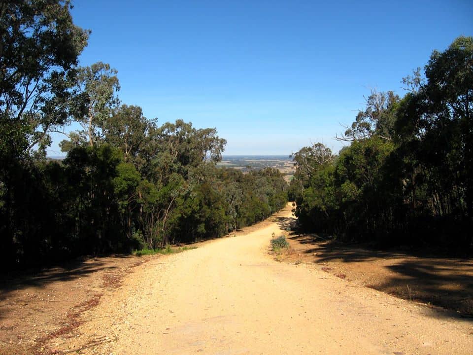
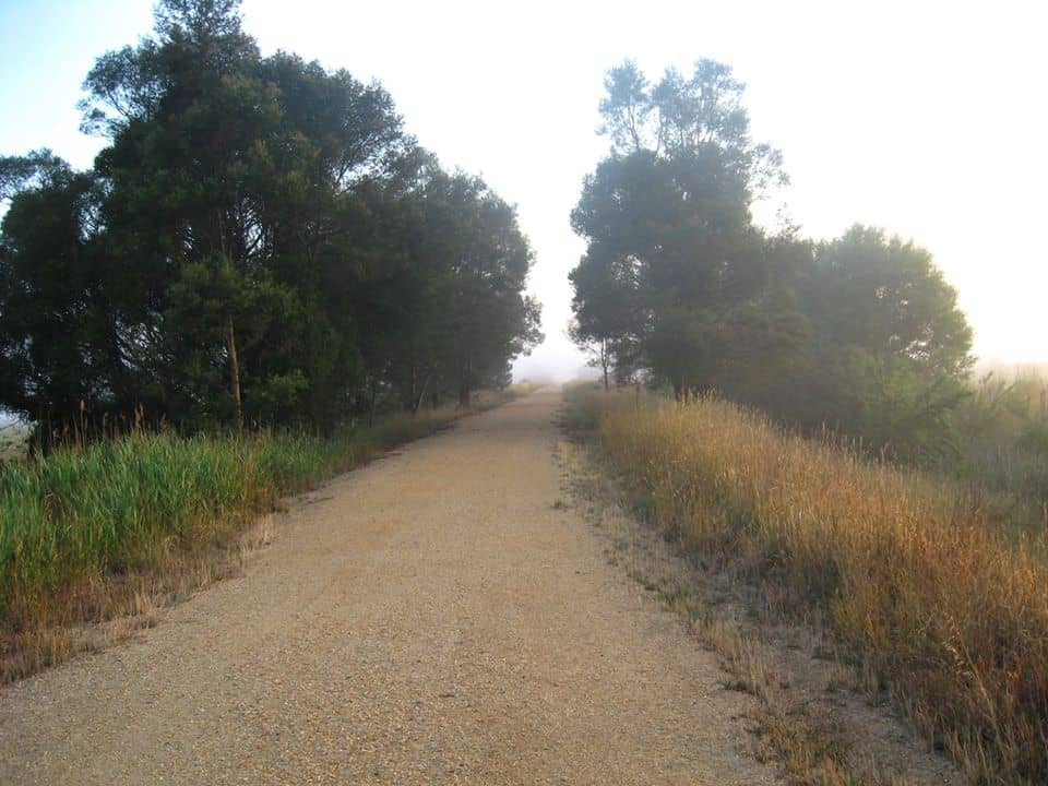
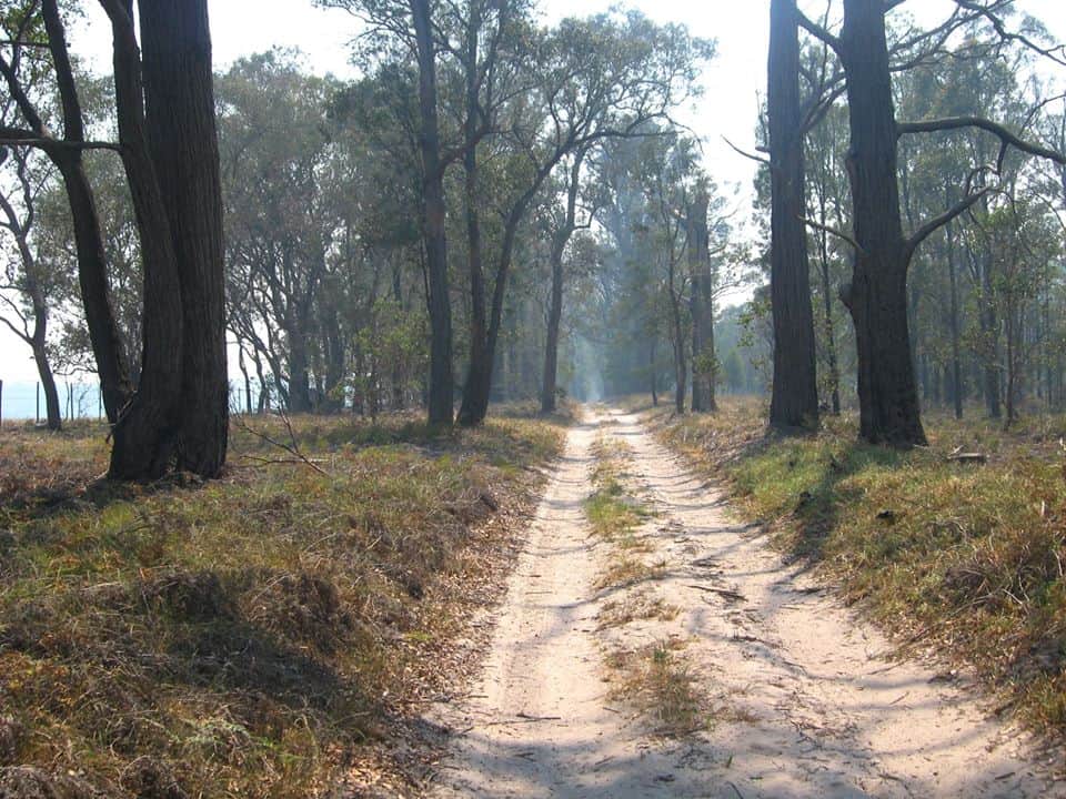
NB The photos that follow for quite a while of Boundary Rd and the Forty Mile Break Rds show they are absolute scenic delights. They are closed to cars from May to November but a bike should be no problem. There are numerous delightful campsites along the way.
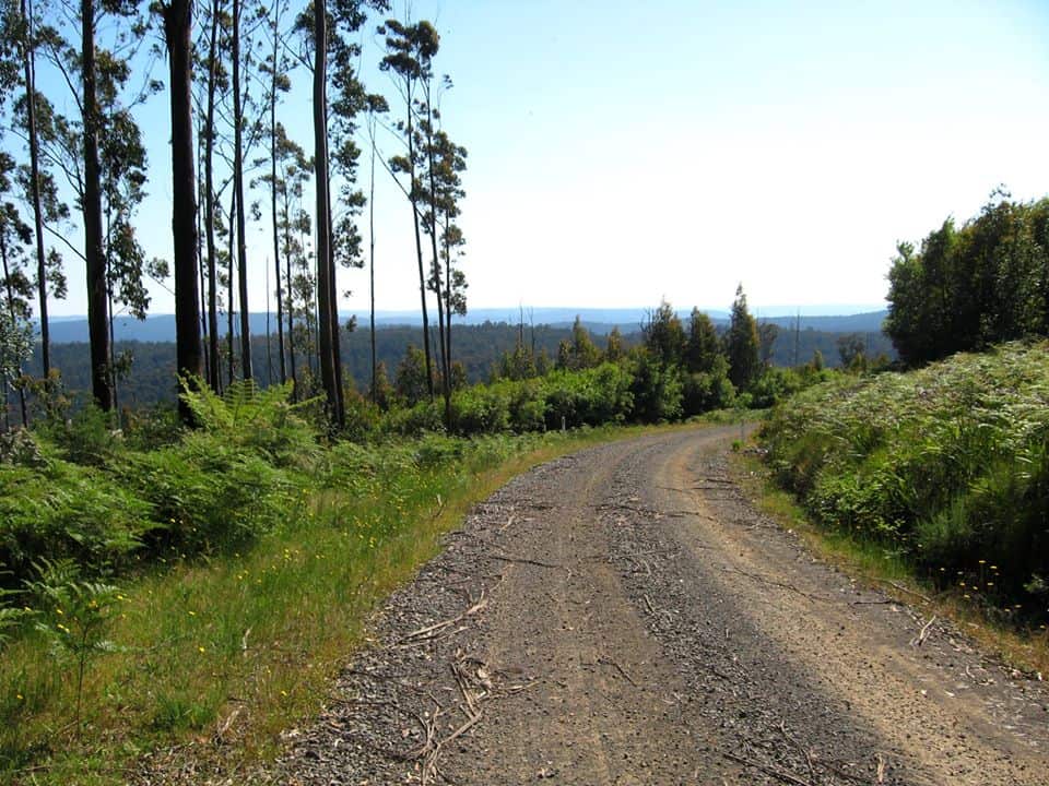
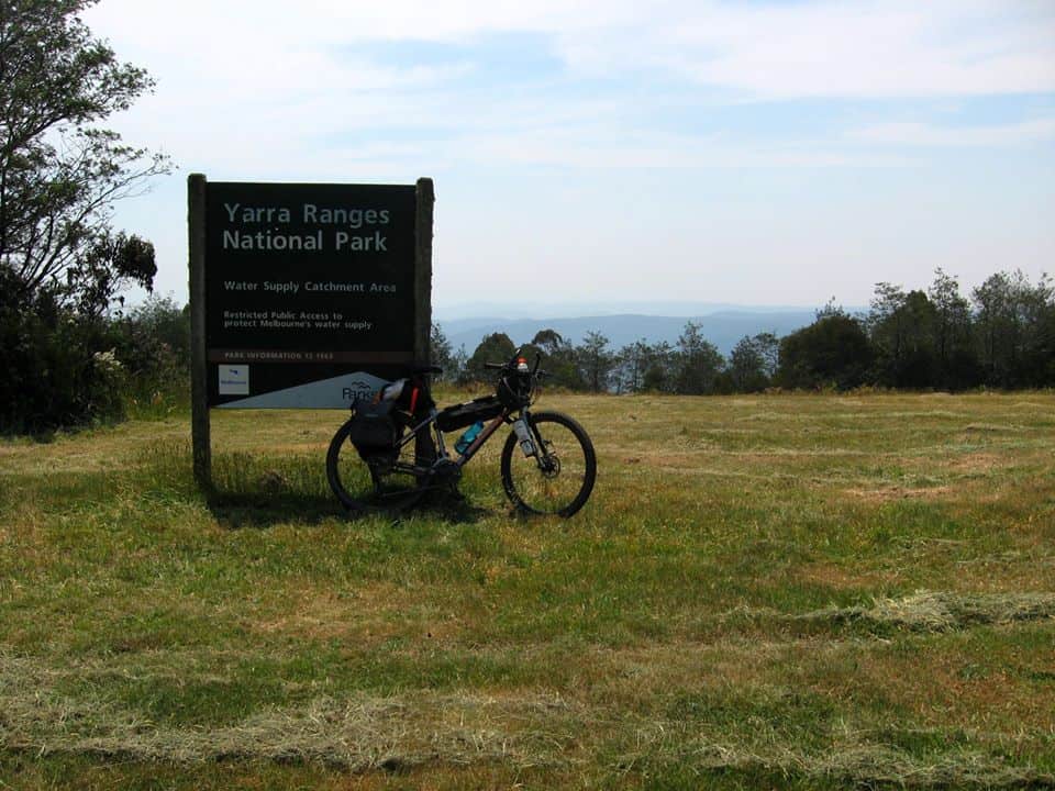
This is Mt Horsefall (around 1300 metres) with a five acre clearing on top and 360 degree views of some of Gippsland’s finest forests.
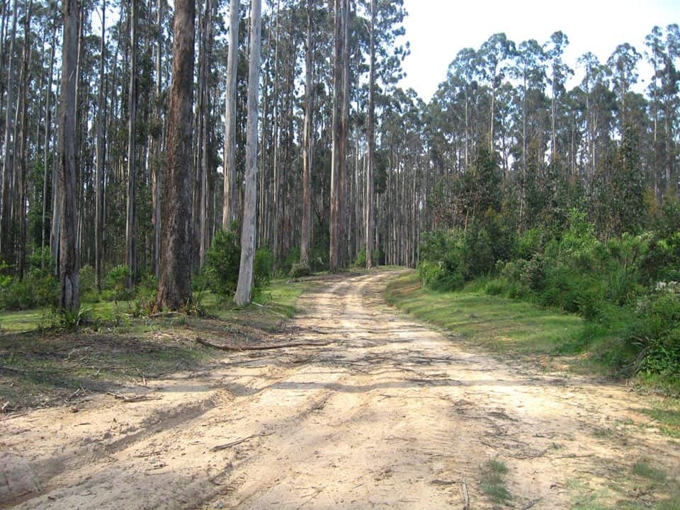
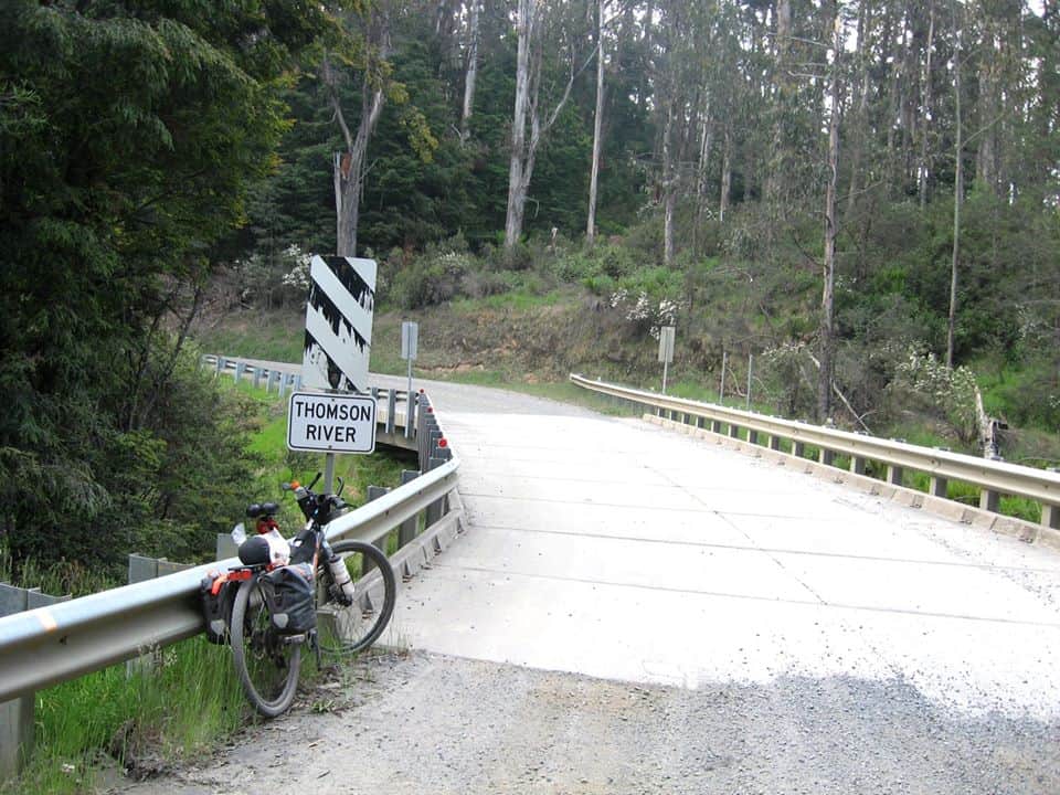
The photos have jumped here from the Forty Mile Break Rd (near Toorongo) to the Thomson valley Way.
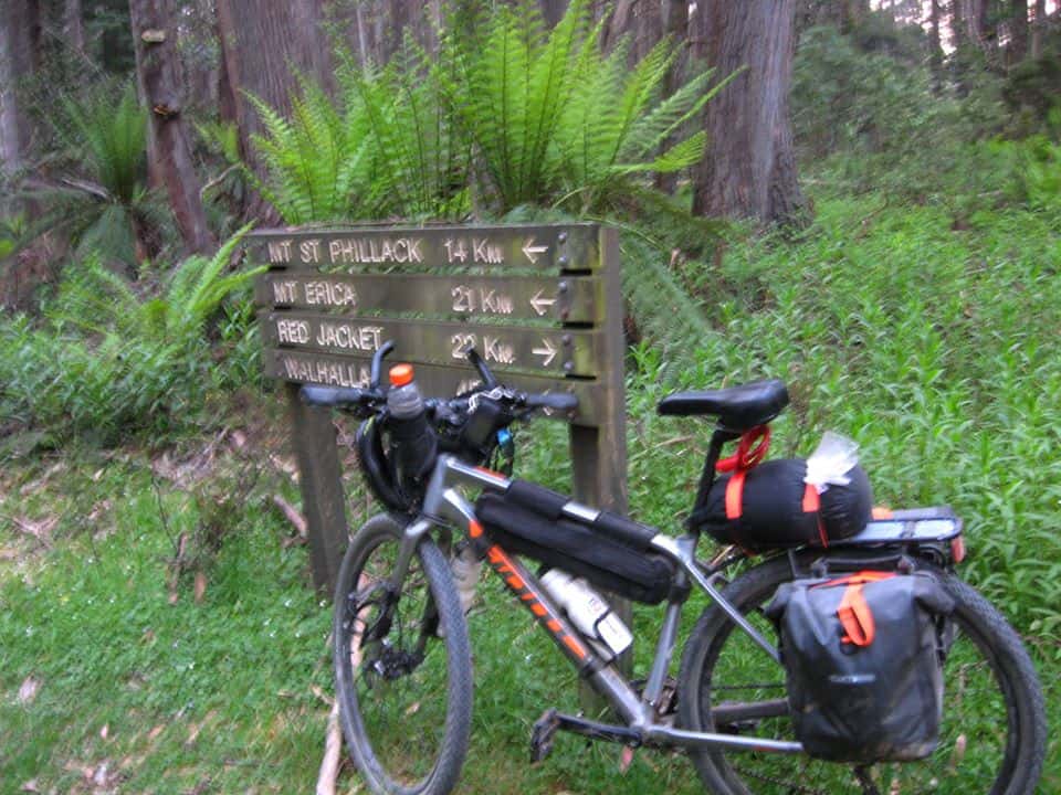
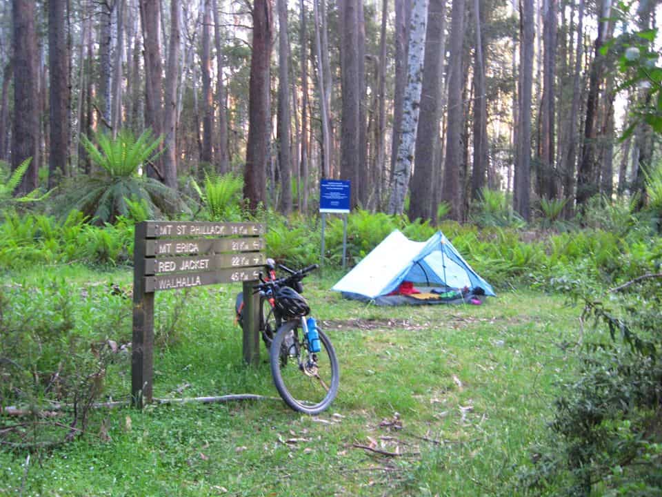
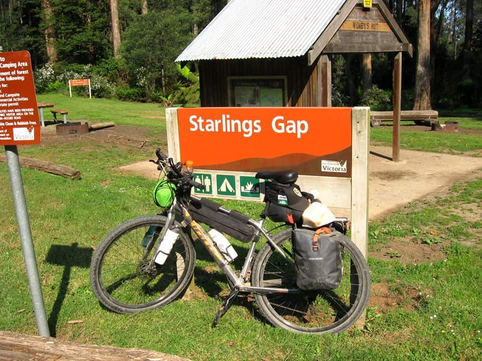
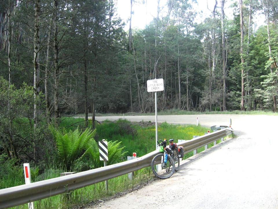
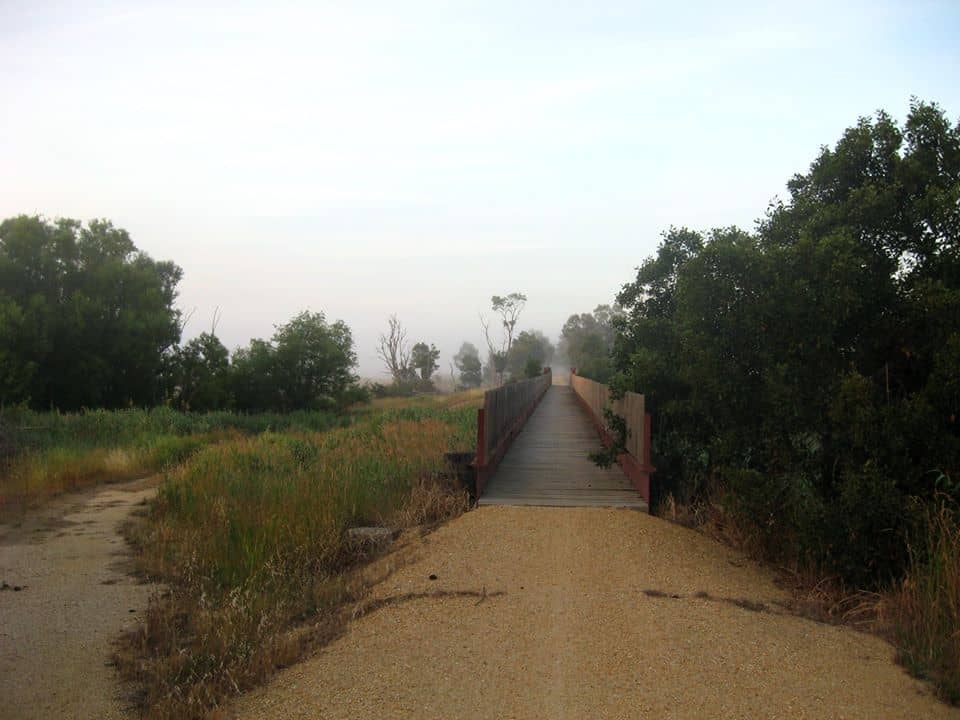
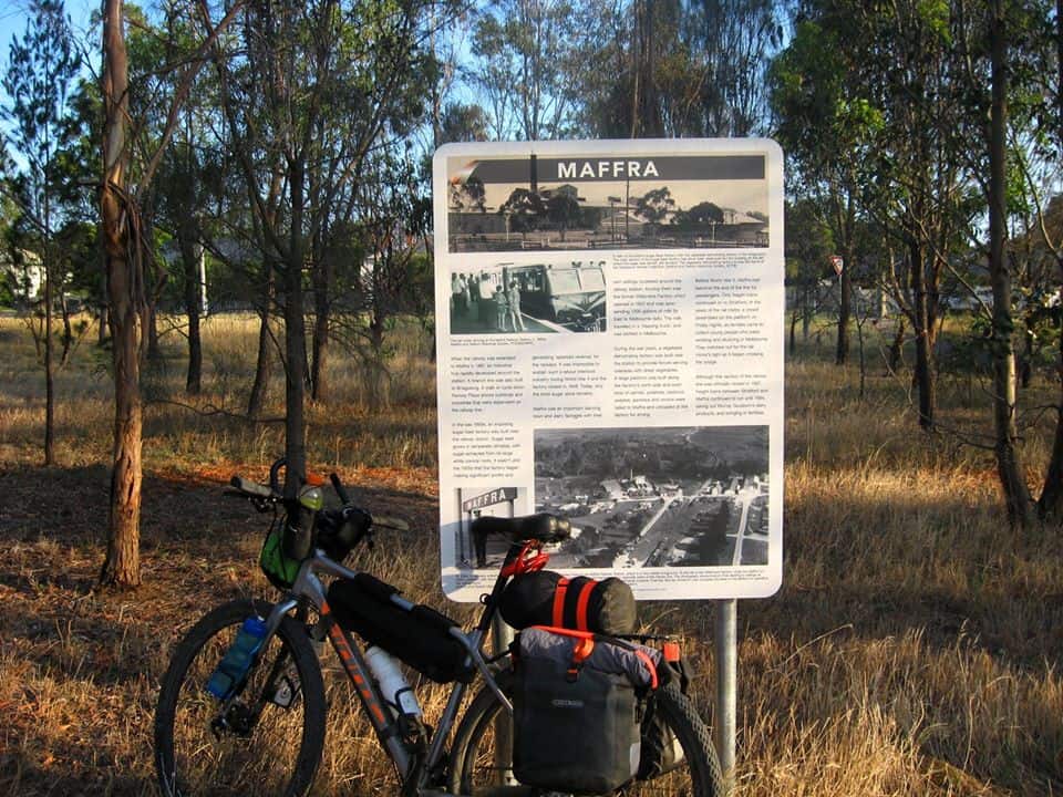
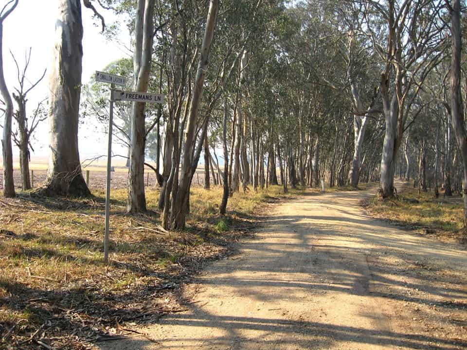
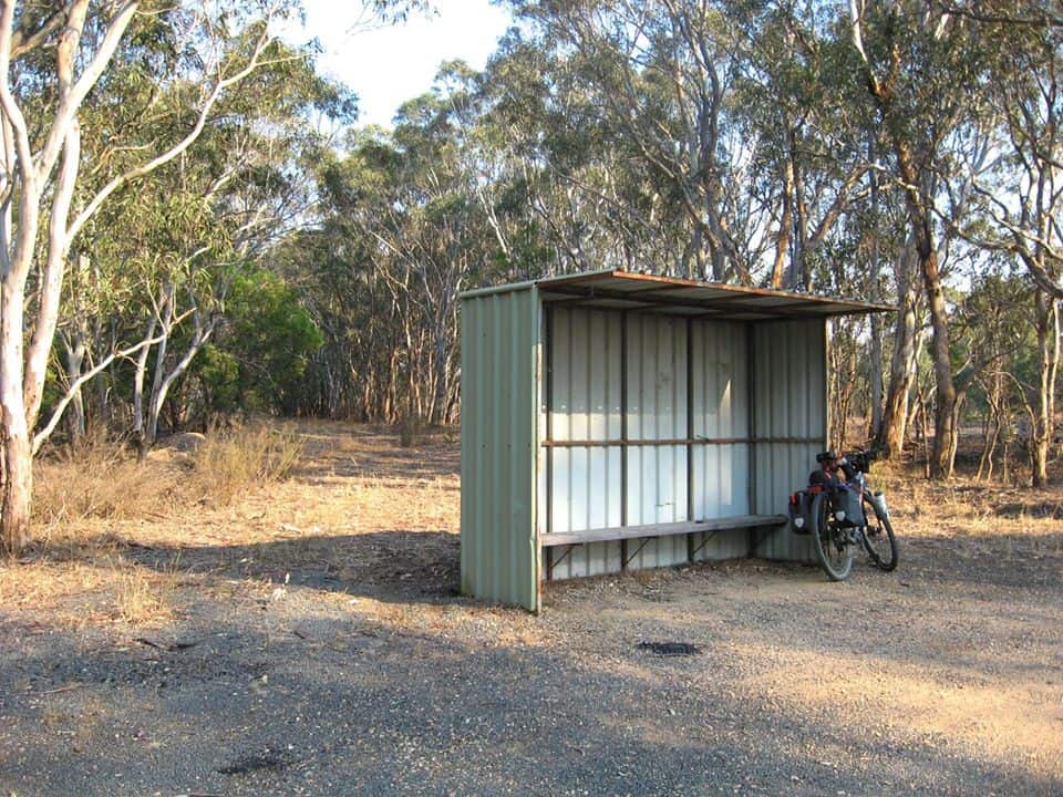
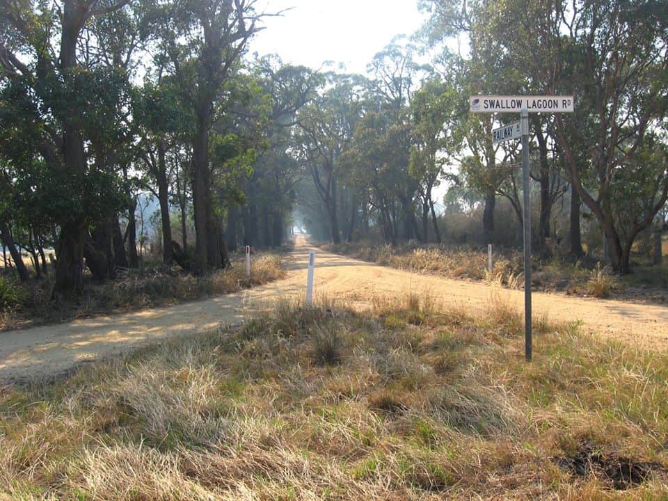
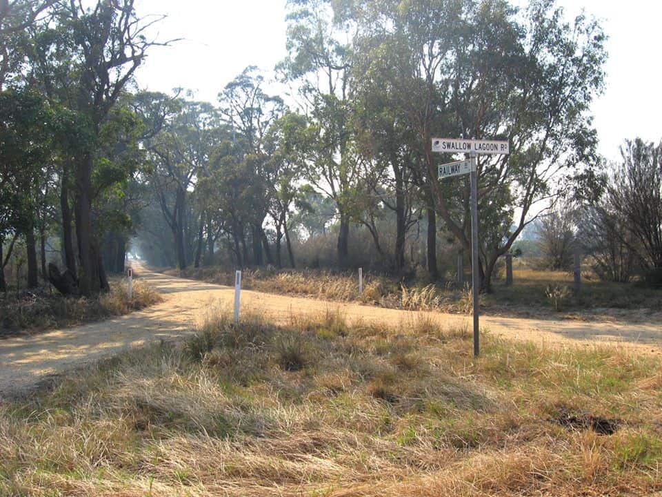
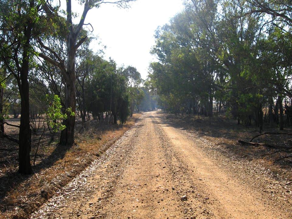
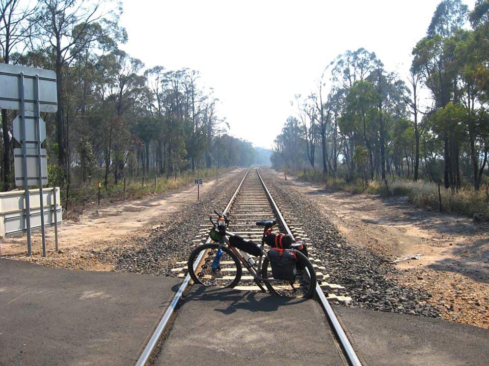
Day 3 – Stronach’s Camp to Heyfield
There used to be a hut at Little Boys Creek up the side track but it may have been removed.
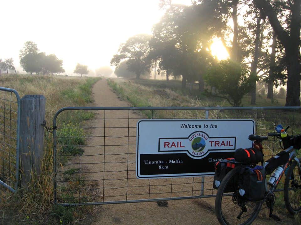
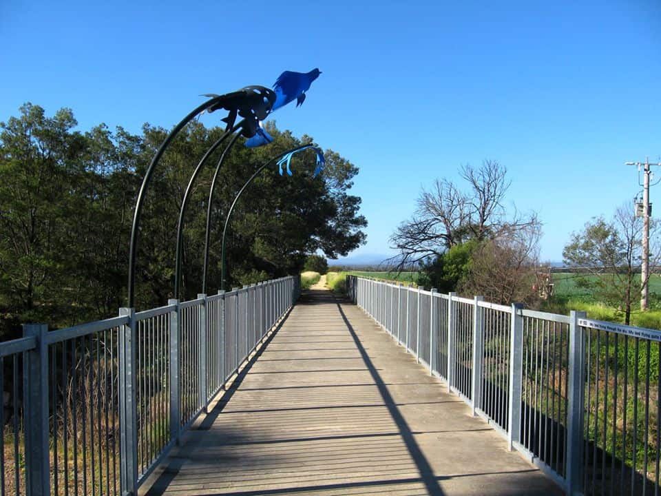
Day 4 – Heyfield to Bairnsdale
PS: With his kind permission I have already brought you Gerard’s account of his Warburton-Walhalla walk along the Upper Yarra Track. (You can find my instructions here and a map here). I will soon be posting sections of his and his friend’s walk along the Alps Walk from Mt Baw Baw to Canberra.
See Also: https://www.theultralighthiker.com/2019/05/31/upper-yarra-walking-track-2/
https://www.theultralighthiker.com/2019/06/08/upper-yarra-track-instructions/
https://www.theultralighthiker.com/2019/06/18/upper-yarra-track-map/
Some other adventures you can have in Gippsland:
https://www.theultralighthiker.com/2017/03/12/the-great-gippsland-circuit/
https://www.theultralighthiker.com/2018/12/27/gully-walking/
https://www.theultralighthiker.com/2016/12/06/gippsland-pack-rafting-routes/