This is a continuation of the post Slow Walking NZ’s South Coast Track. After we left the Waitutu River on the South Coast Track we planned to detour South before the Angus Burn to spend a night at the Long Point Hut – and perhaps visit its extensive grassy sandhills and lighthouse, a red deer hunter’s paradise. We were hoping by doing so to significantly shorten the quite long walk back from the Waitutu River to the Waitutu Lodge at the Wairaurahiri River which took us 9 hours last time (in 2016) when we were only about 70! It did shorten it (by at least an hour – closer to two) but it was still quite a long walk – Waitutu to Long Point – approx 20,000 steps for us around five hours. It should then have been a short day (approx 3 hours to the Angus Burn then another hour or so along the beach to the Wairaurahiri River and the fabulous Waitutu Lodge.
Unfortunately (for us) the day we did it heavy rain came in during the night so that every creek was flooded and hard to cross.
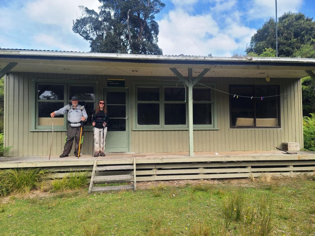
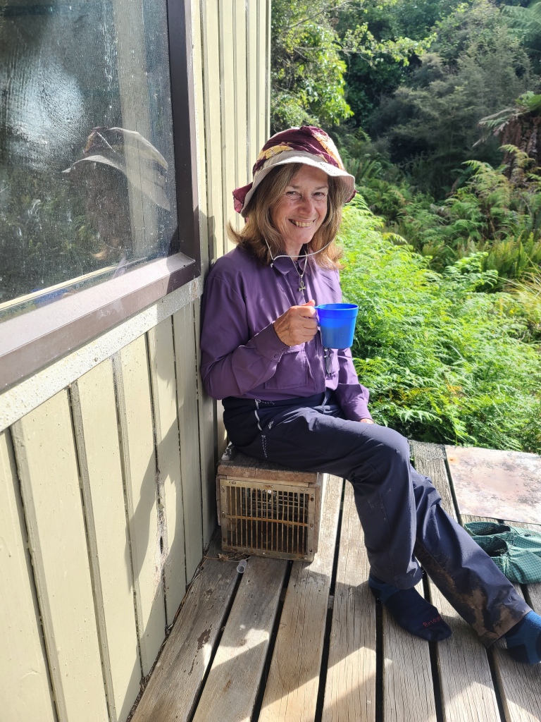
My daughter Irralee at the Waitutu Hut when we arrived – before the rain
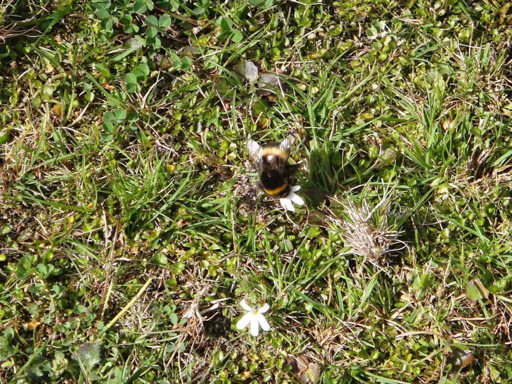
The bumble bees were busy on the ‘lawn’ flowers.
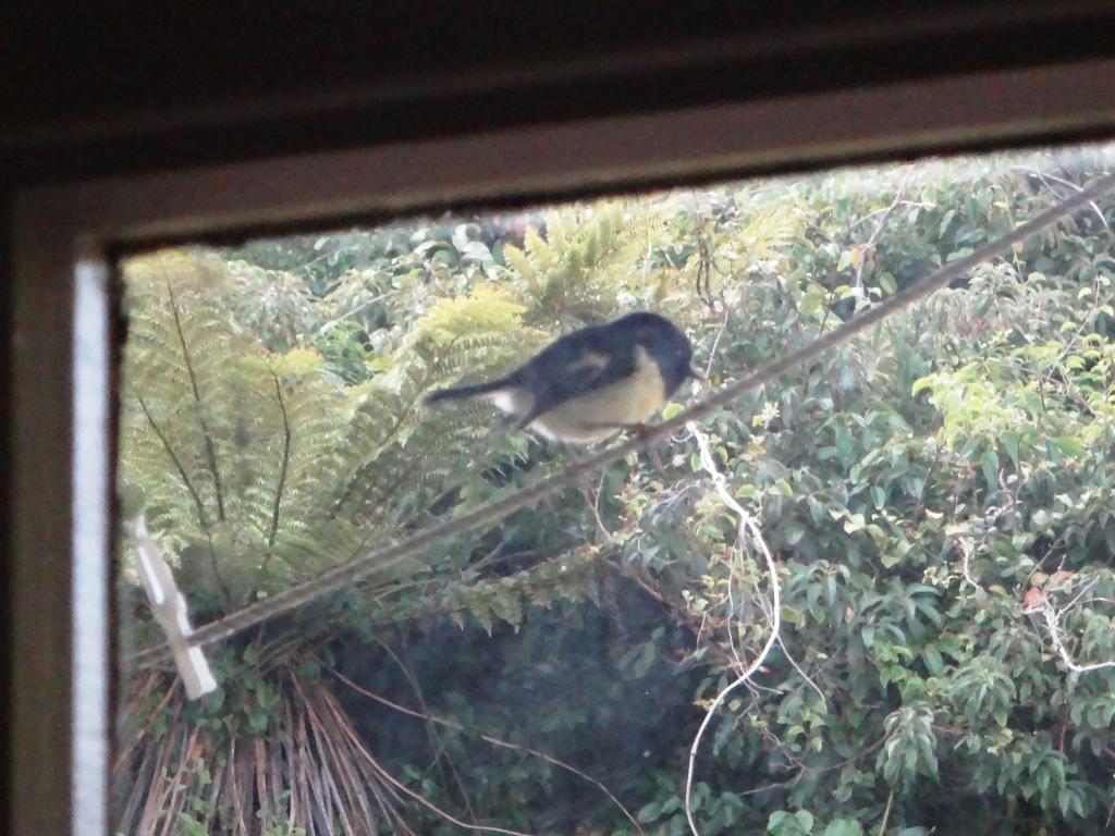
The greatly increased bird population (in the Waitutu Forest due to a 1080 baiting programme) were fairly batting their wings against the windows.
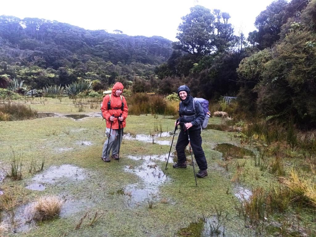
It was fine weather when we arrived but that night it poured.
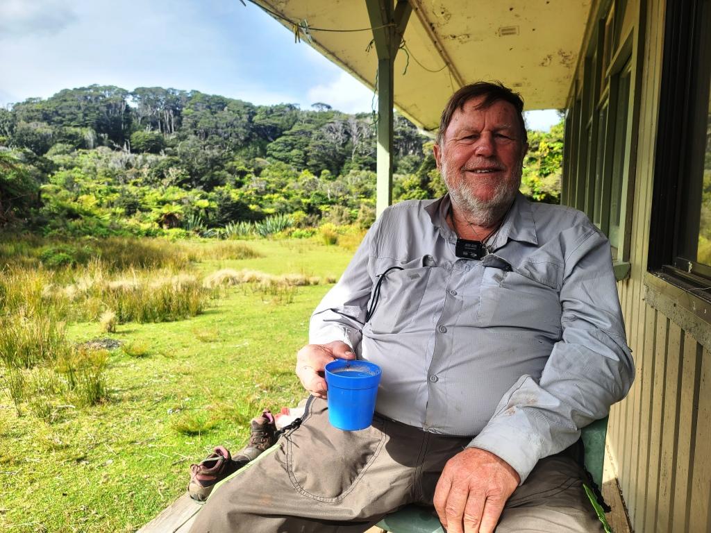
A welcome coffee on the verandah.
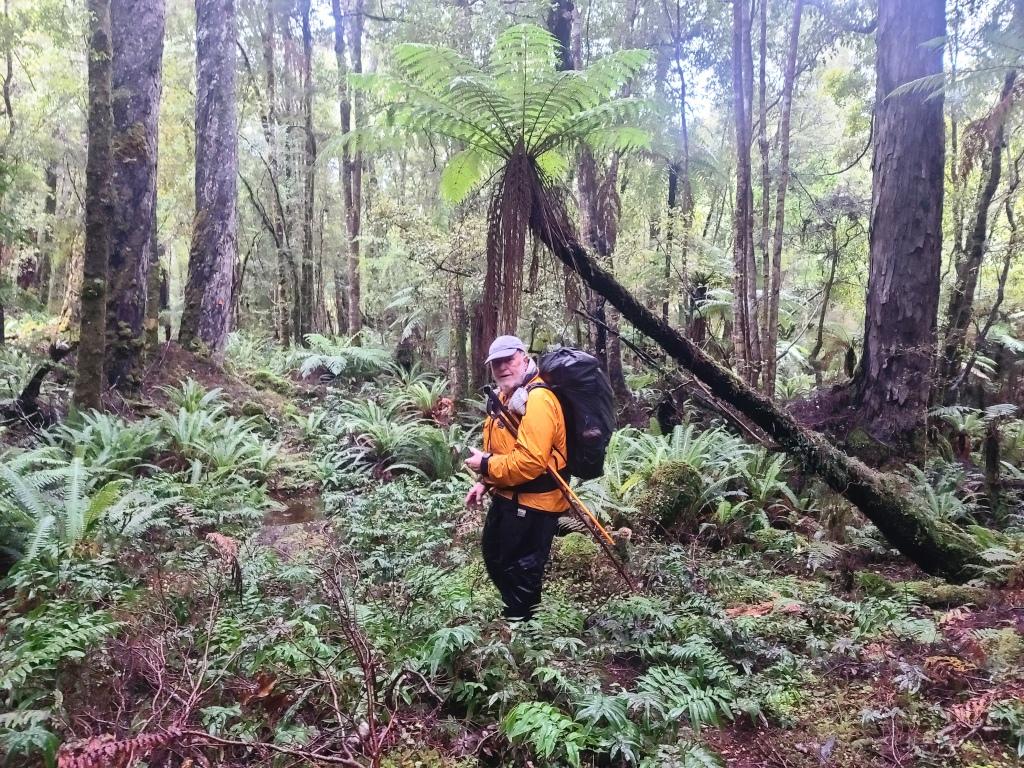
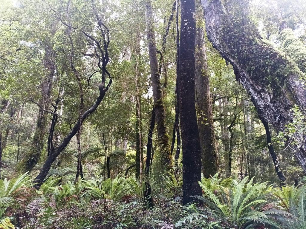
Setting out next morning it was very much wetter, as you can see.
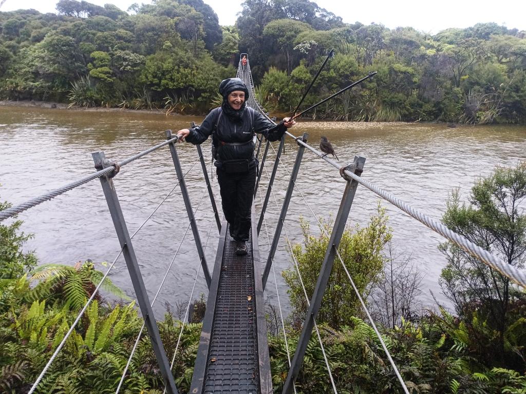
Crossing the Waitutu River (watched by a robin)
A steep climb up from the crossing onto the escarpment. Della hurt her knee coming down this in 2015 so that we had to turn back.
Looking back towards Westies. I think you could continue along to the South-East here and hunt along the sandhills all the way to Long Point.
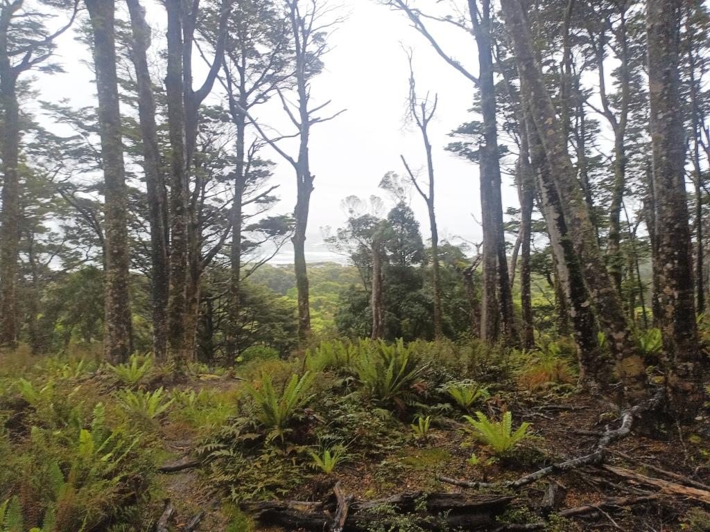
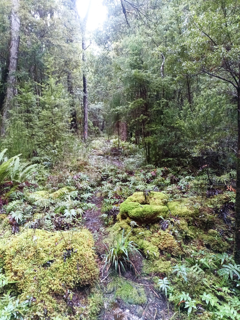
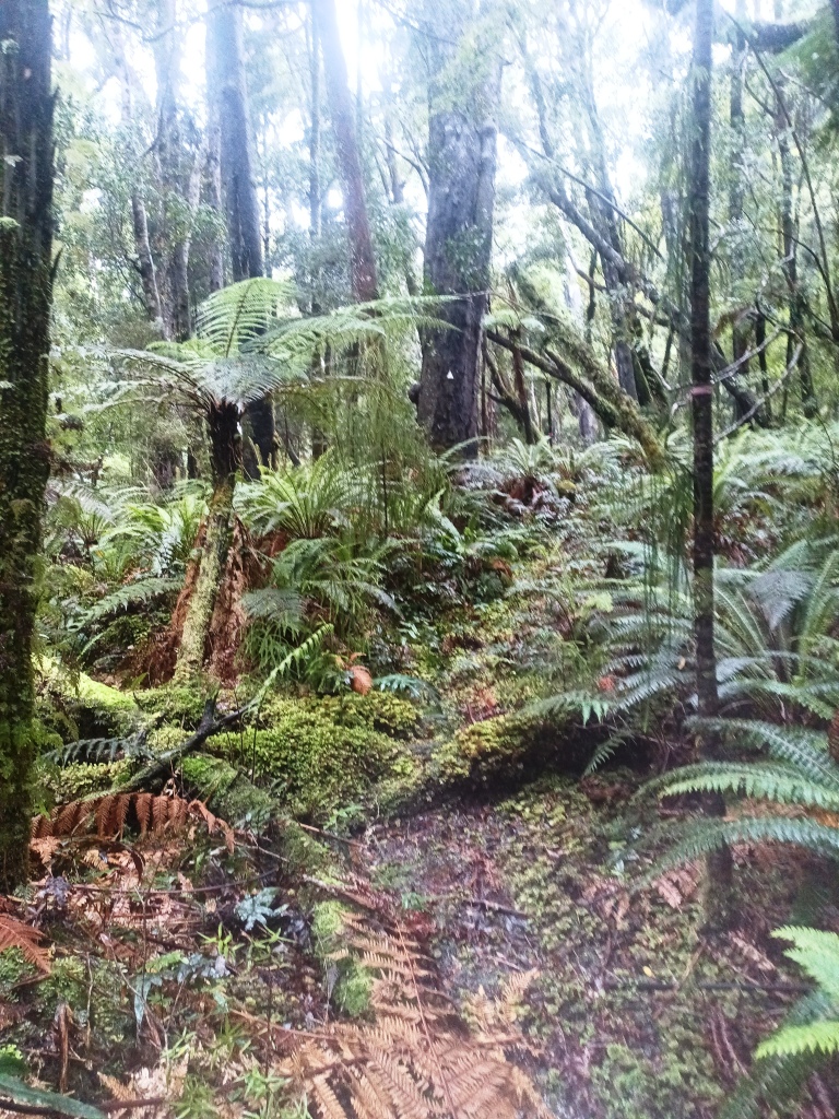
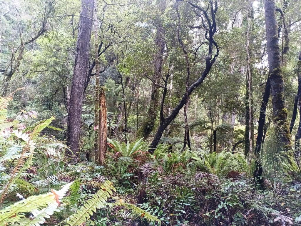
The higher sections of the track were fairly dry.
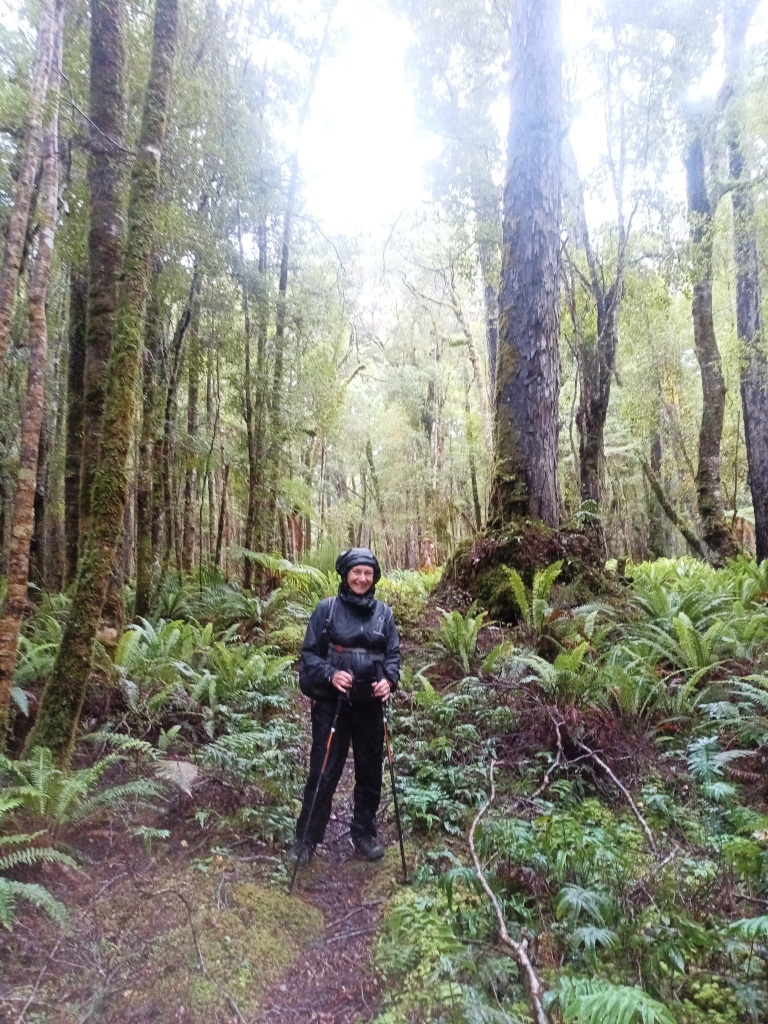
But we still needed our raincoats.
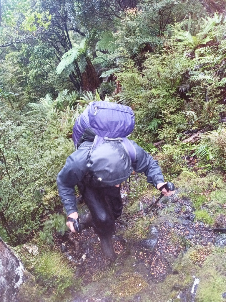
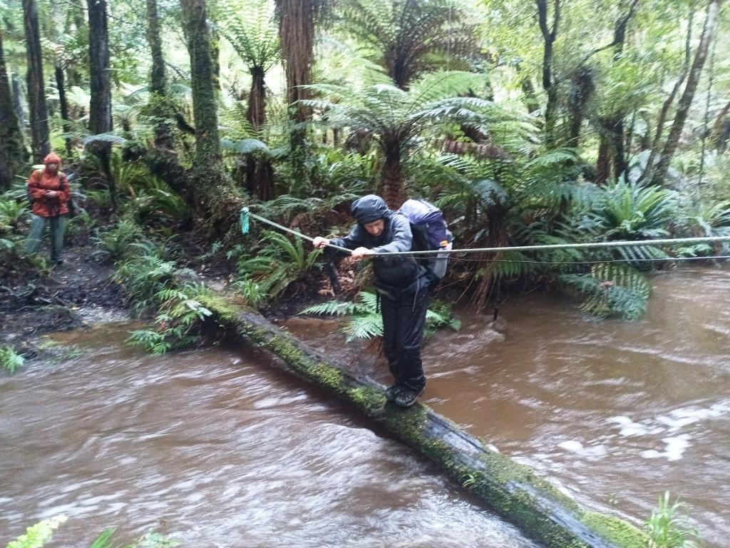
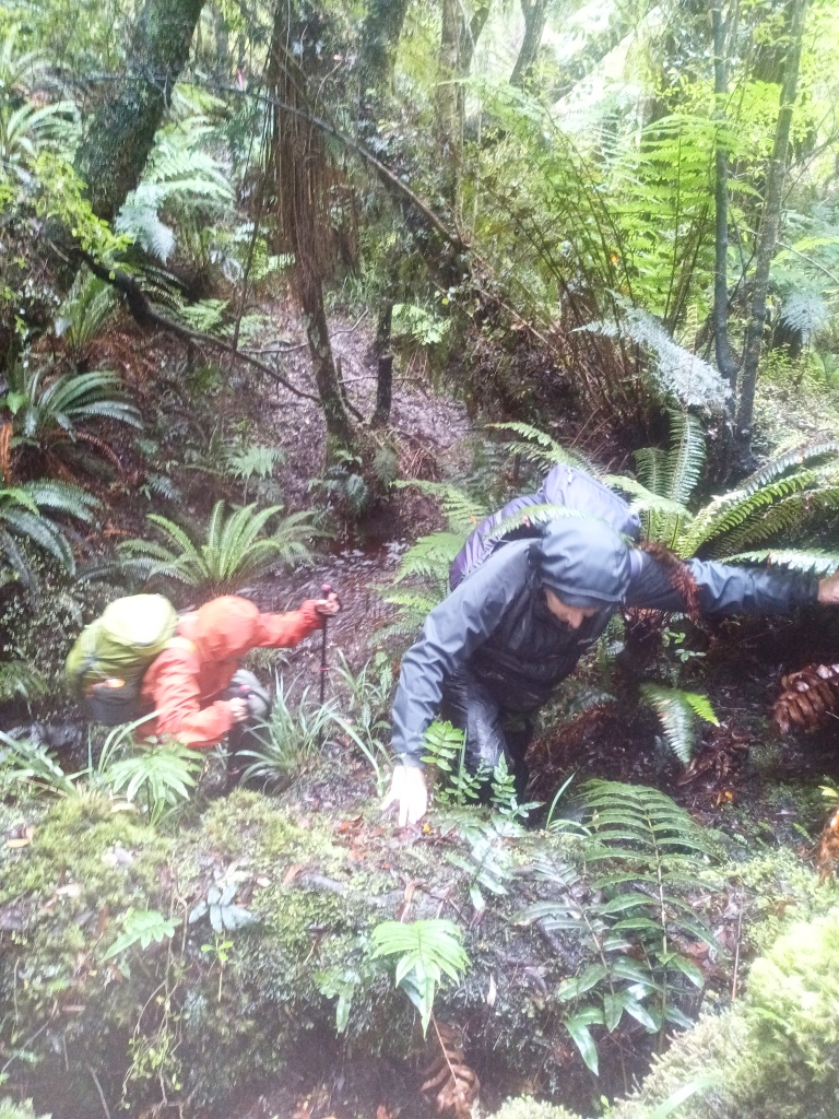
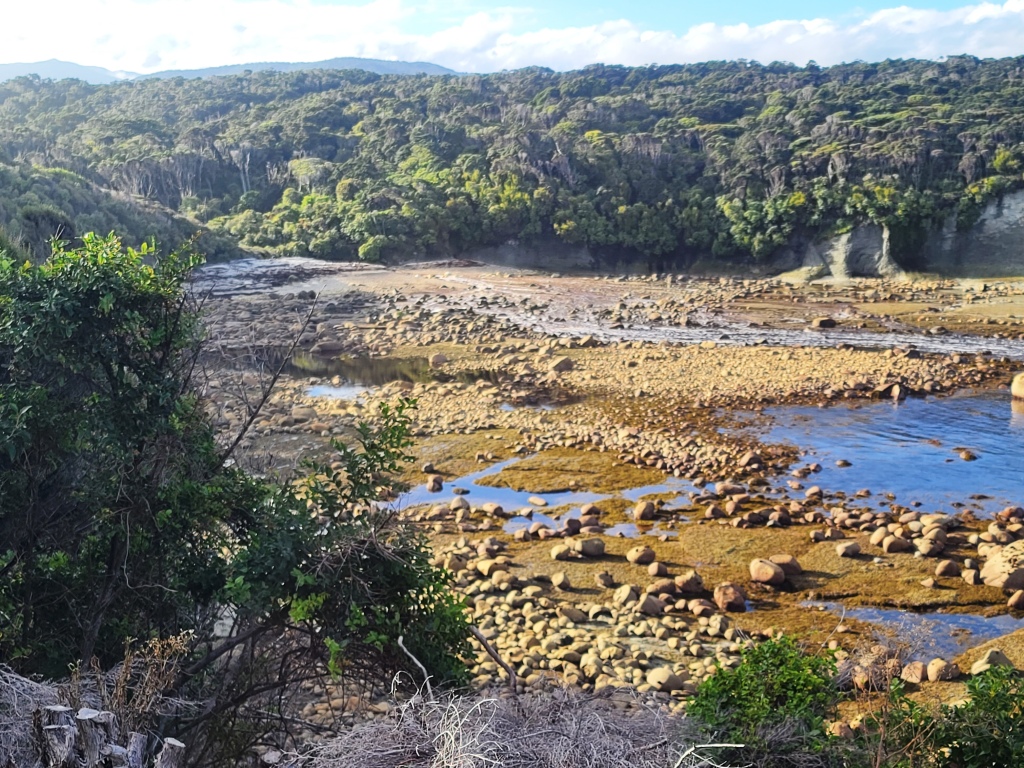
But there were a number of difficult creek crossings like this one. Della showing how it is done.
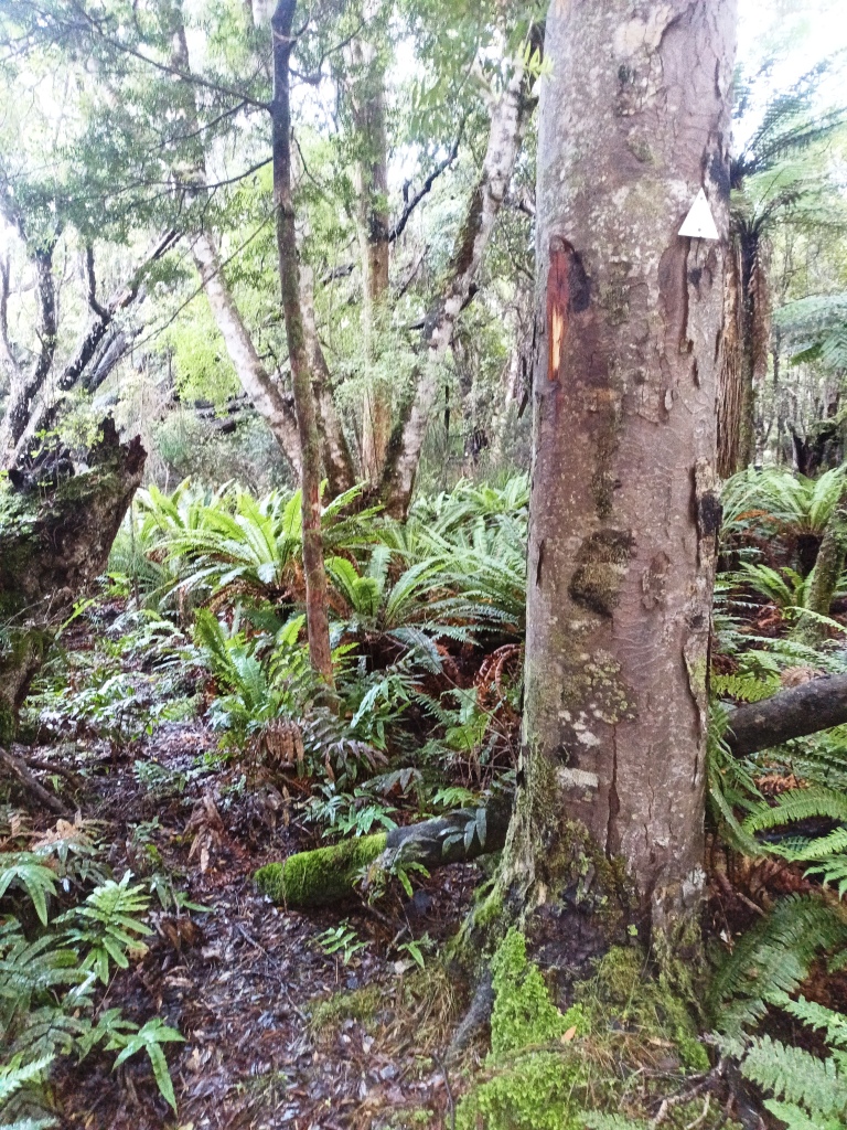
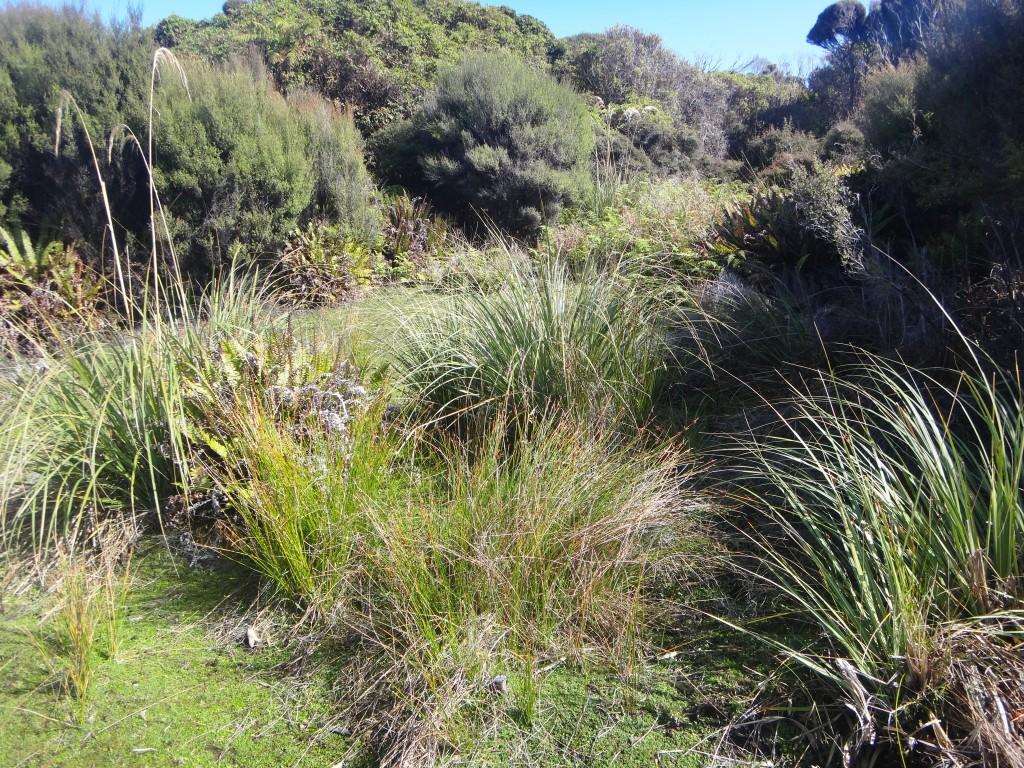
The turn-off to the South to Long Point Hut about a kilometre after the turn-off (to the North to the Slaughter Burn) and about a kilometre before the Angus Burn was reasonably well marked (but not a DOC sign) and the track was provided with white rectangles fairly well pretty much all the way to the hut. The last little bit (and some others) involved a bit of bush-bashing but I understand that the area around the hut (and the track) has been cleared some more since we were there (ie between April and September 2025).
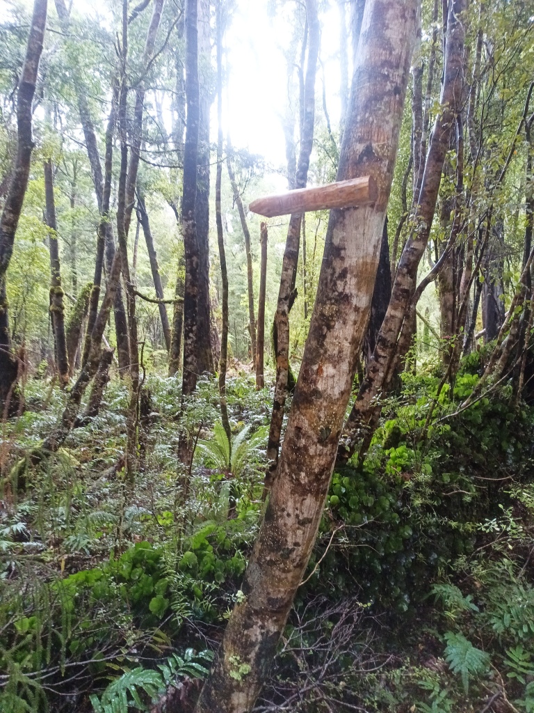
The white triangles don’t stand out quite so well as the orange ones but you will find your way.
Sometimes there might be a bit of (pink) tape instead.
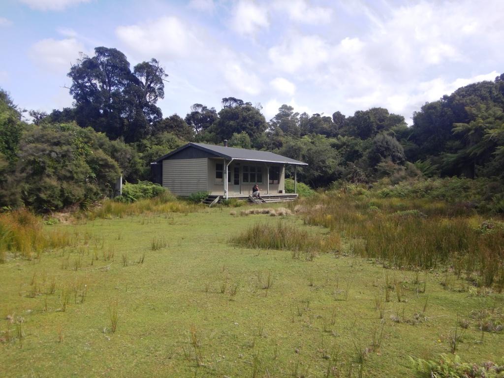
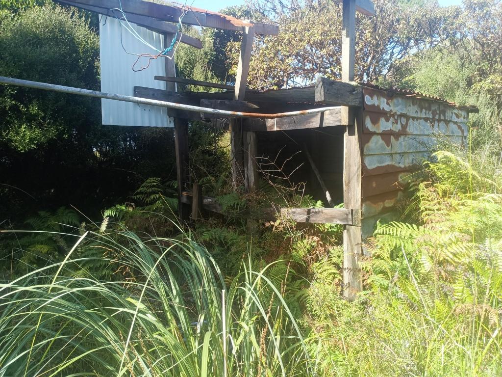
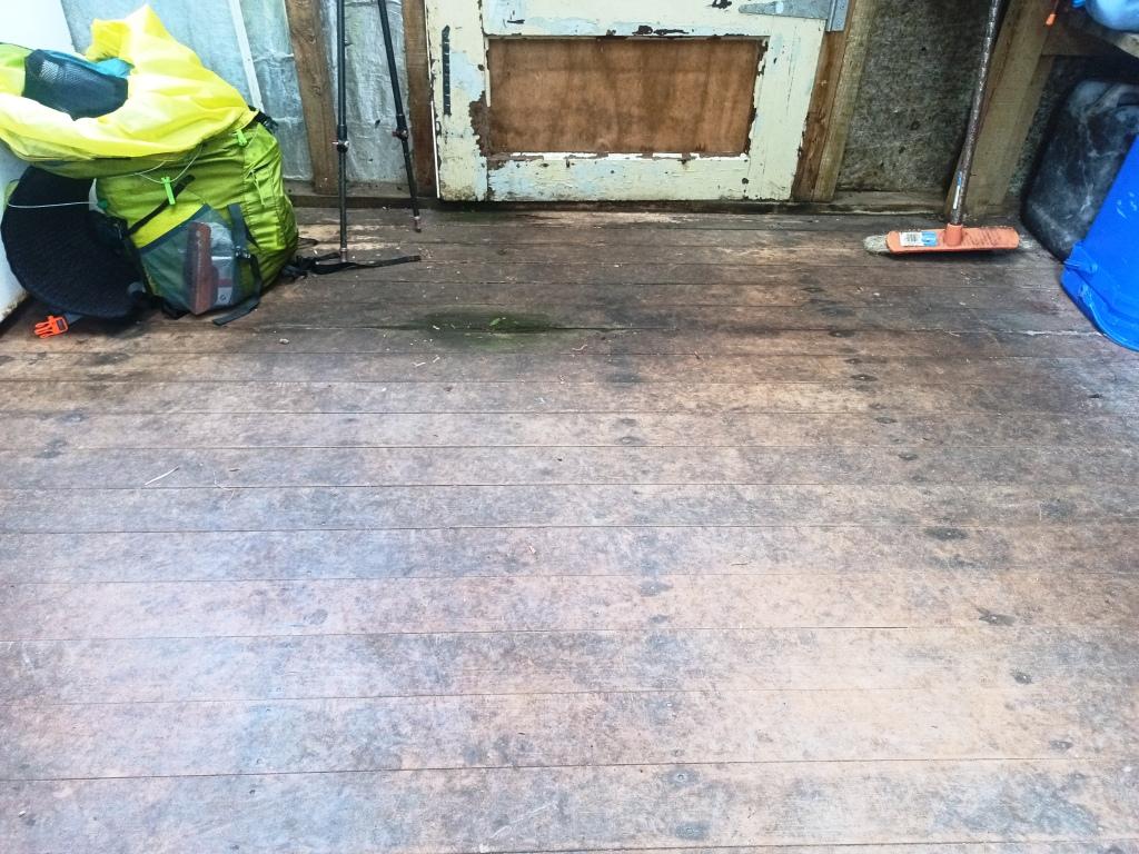
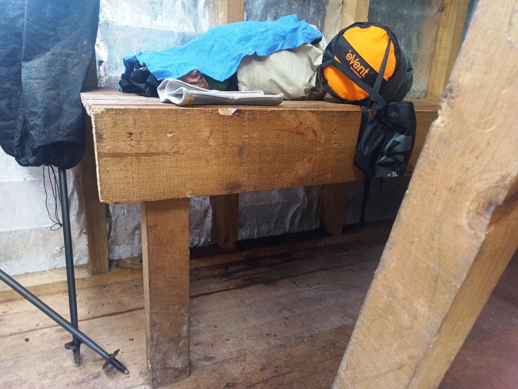
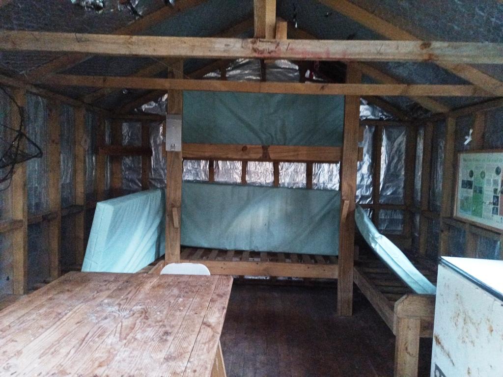
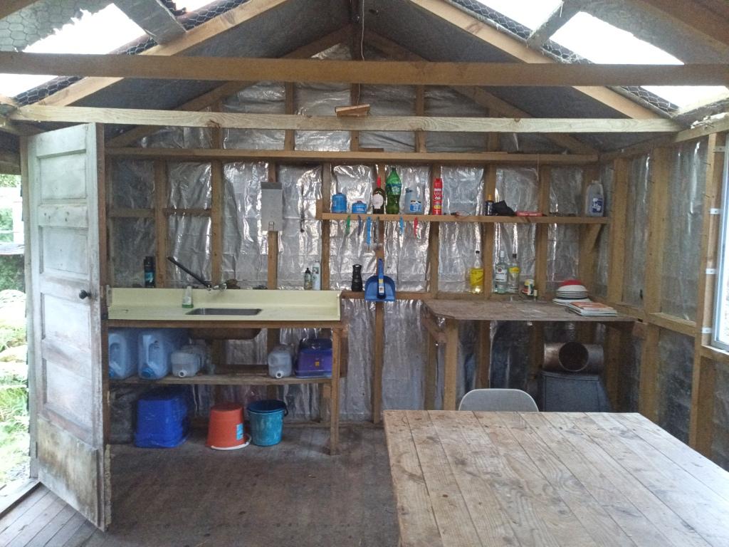
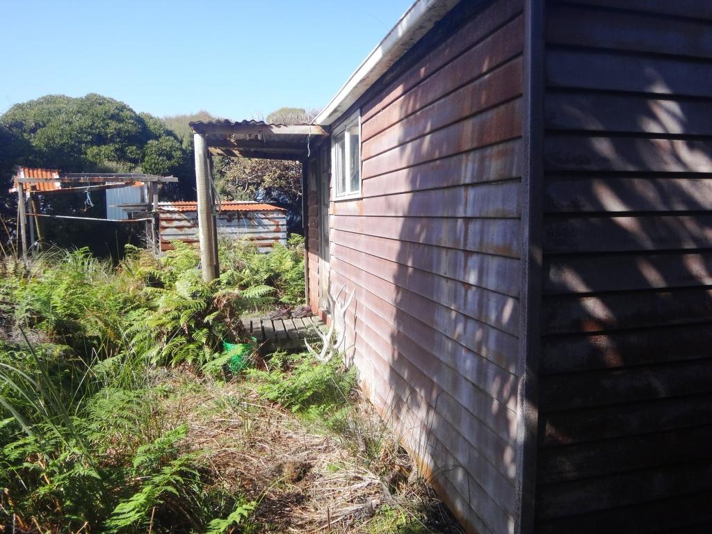
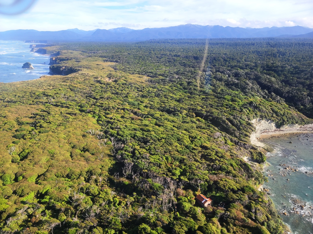
You see the hut over to your left a bit long before you reach it. There was then some bush-bashing to get to it. The hut was originally constructed as part of the red deer trapping project forty years ago. It was a kind of kit garage. It needs a new iron roof and the stove to be installed. It will make a magnificent stopover or hunting retreat then.
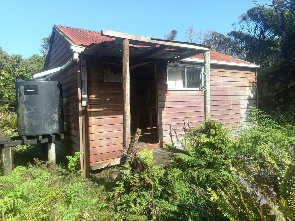
I guess these two buildings were the bath-house and wood shed. There is enough material here to repair the wood shed and construct a larger verandah for the main hut.
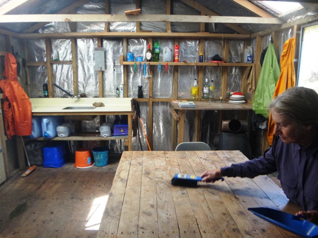
Washing up.
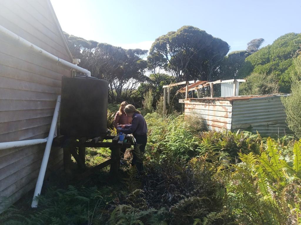
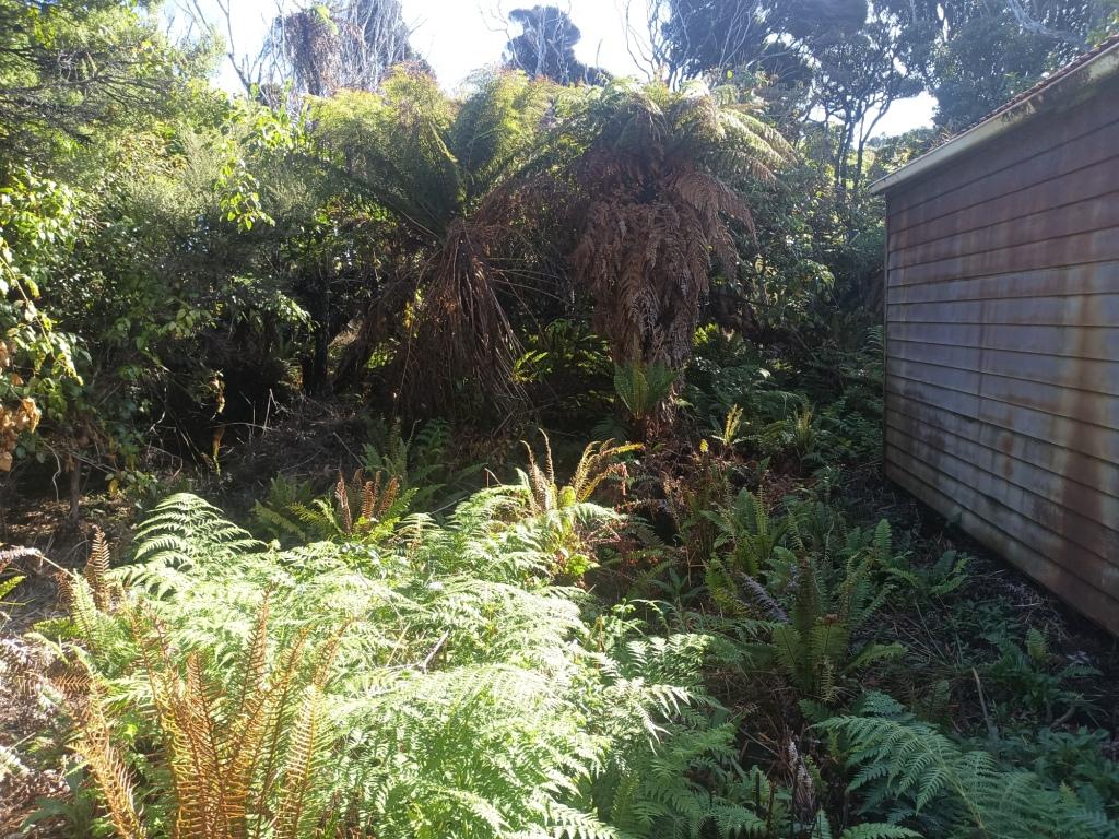
It was a bit overgrown around the hut. The DOC style pit toilet was behind this screen of bushes.
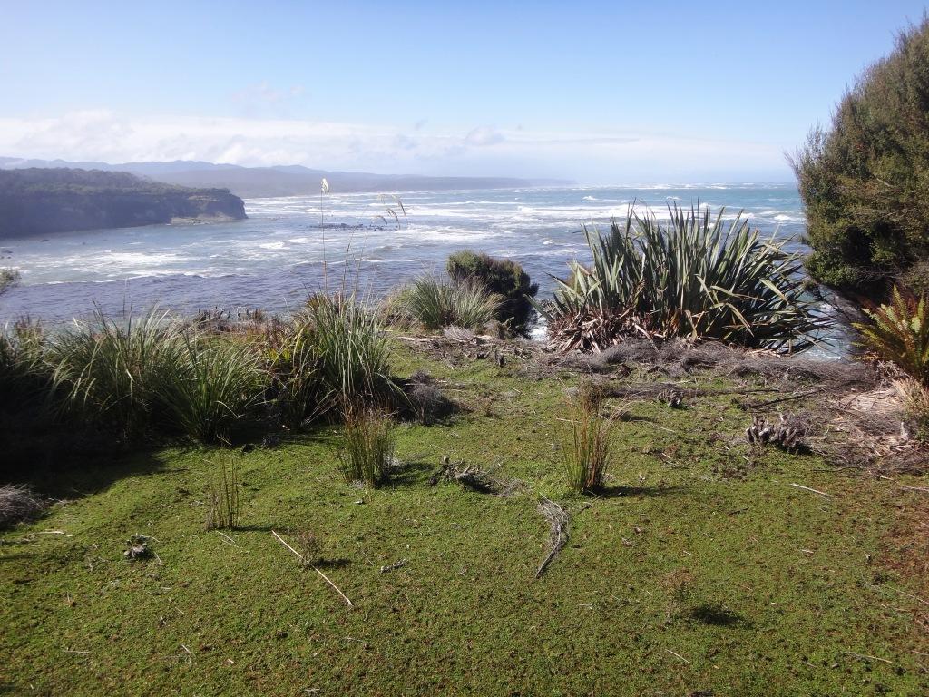
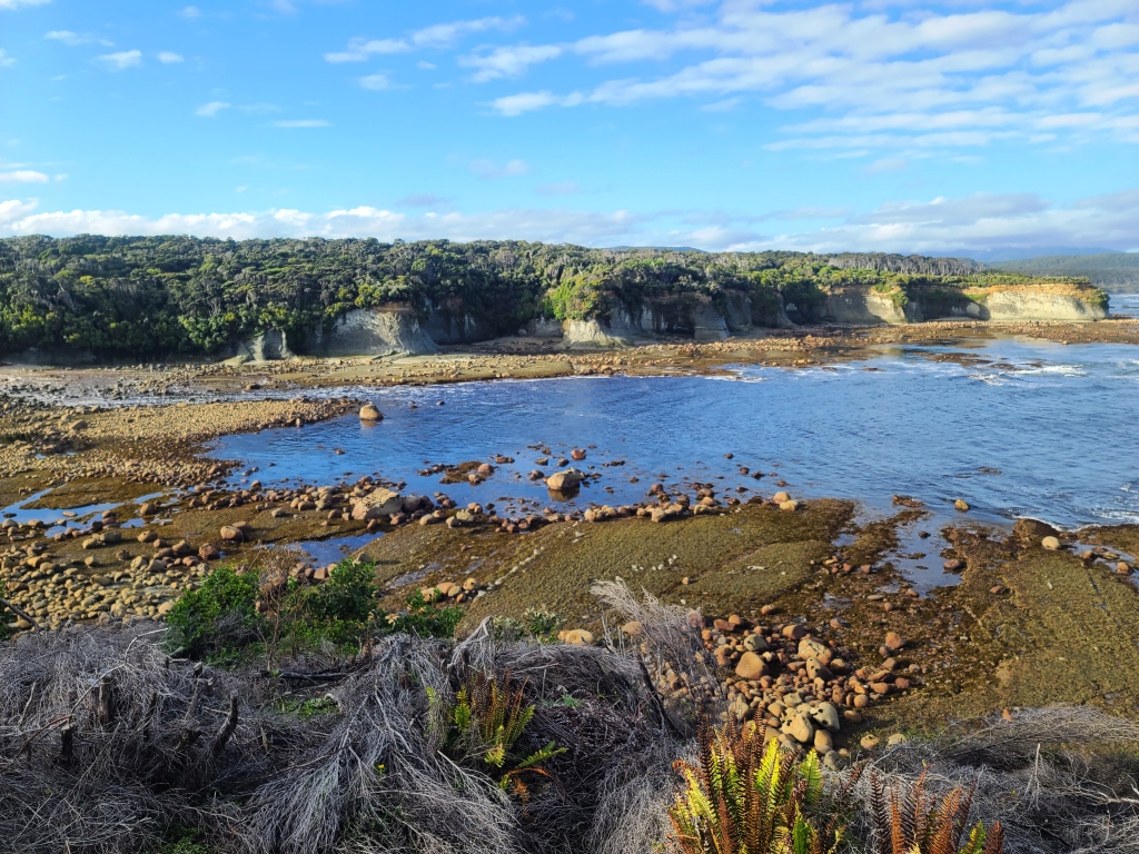
You cross and recross an unnamed burn on the way down which becomes much larger just before the sea outlet. You might be able to continue down it to the sea and (at a very low tide) actually walk along the beach all the way back to the Wairaurahiri River (Waitutu Lodge) probably in about two hours – a saving of many hours. About ten minutes before you get to the hut you can see the grassy sandhills about fifty yards away over to your right.
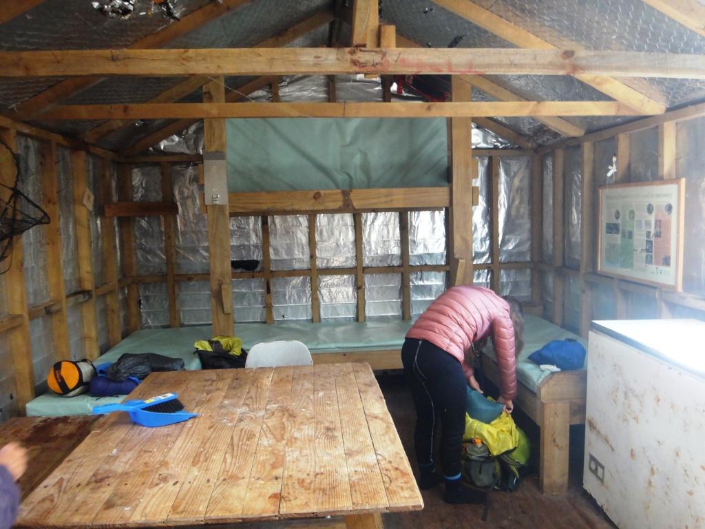
As I said there are some leaks but none actually above the four bunks.
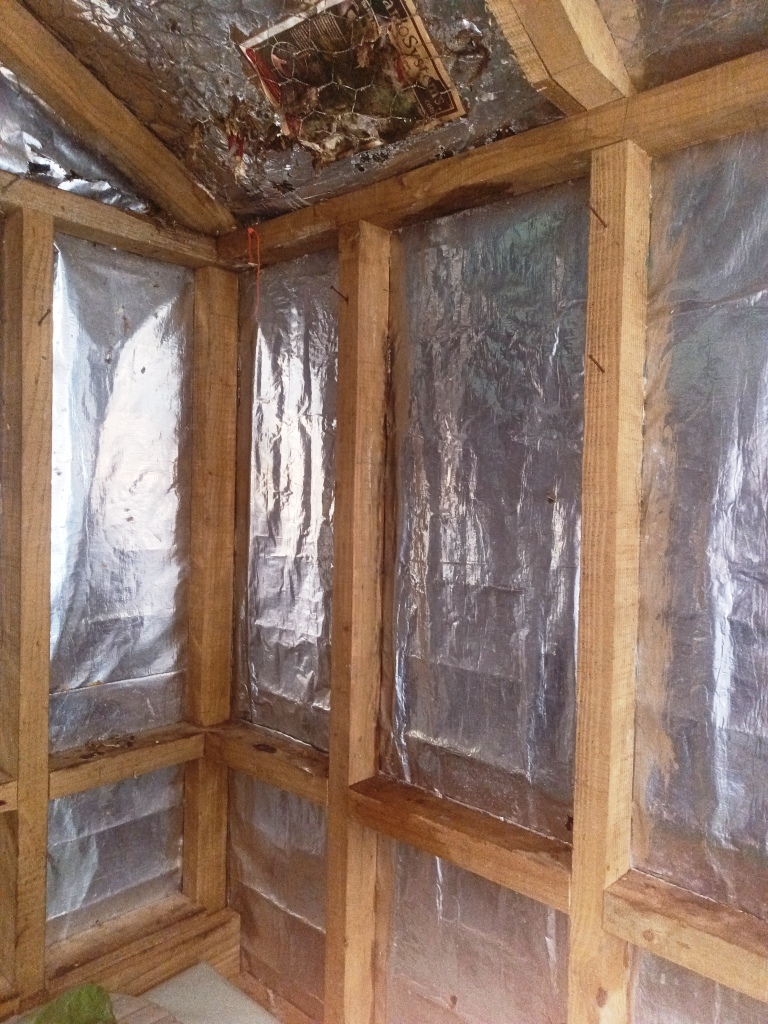
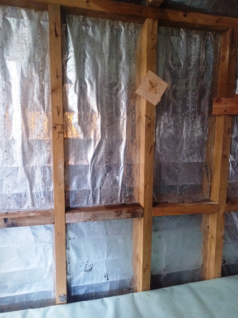
They do need attending to though before wood rot sets in.
It came supplied with these old two-piece candle-holders you might remember from the past.
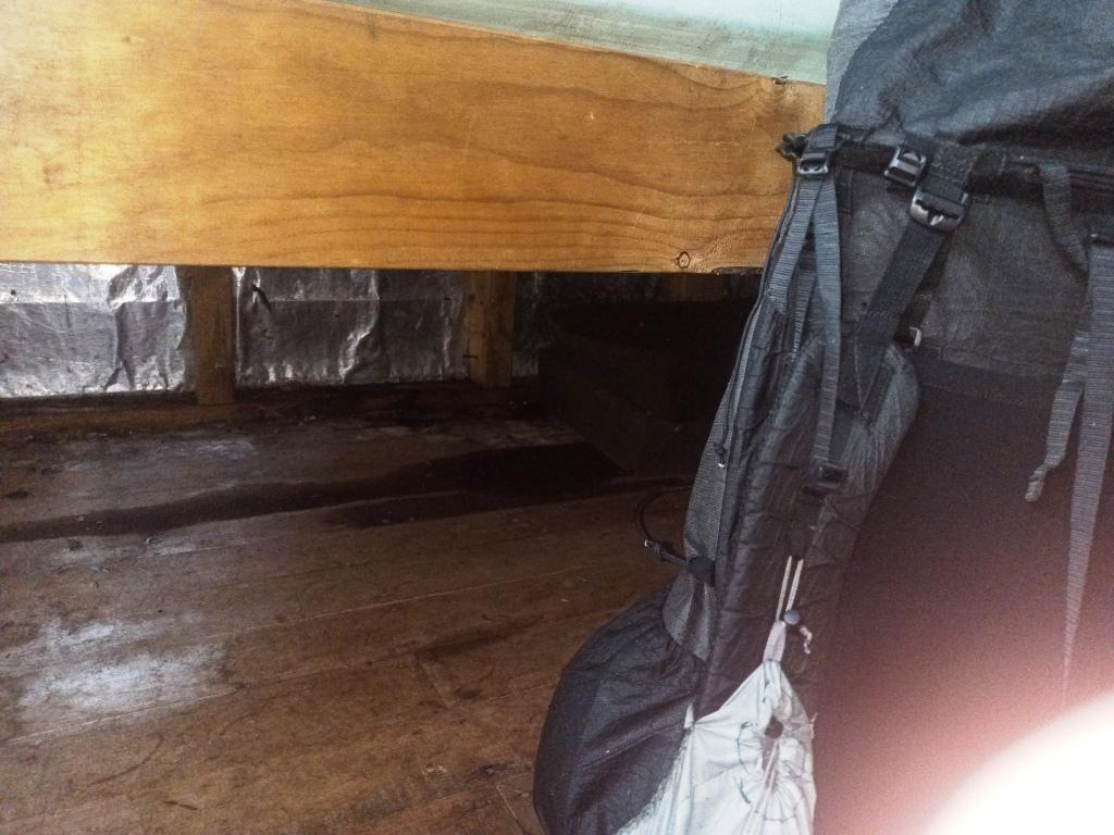
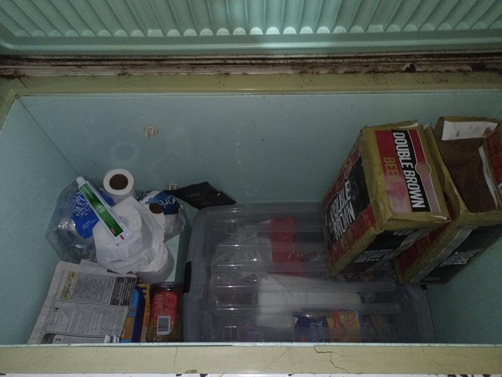
The freezer makes excellent safe storage – and was well-stocked by past users.
Looking West.
Looking East. The door is on the North side (of course). There are skylights and a window so it is an airy cabin.
View from the helipad (looking East) which is about twenty metres to the east of the hut.
Looking back towards the hut from the helipad.
And again as you get closer – sorry about my finger on the camera lens. My daughter Irralee.
Looking east out the front of the hut.
Packing up.
And cleaning up.
Some low tide pics – the helipad.
View towards the Wairaurahiri.
And again. The beach just appearing on the far right would be the Angus Burn. It is clearly only about a half hour away (if the beach is passable). A couple appeared to have walked it (re the Hut book)
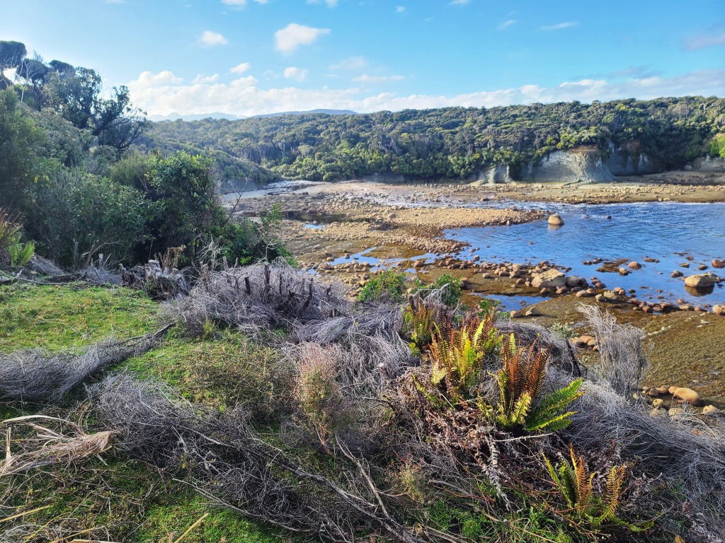
The burn just a couple of hundred yards from the hut.

Close up.
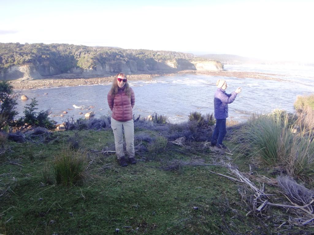
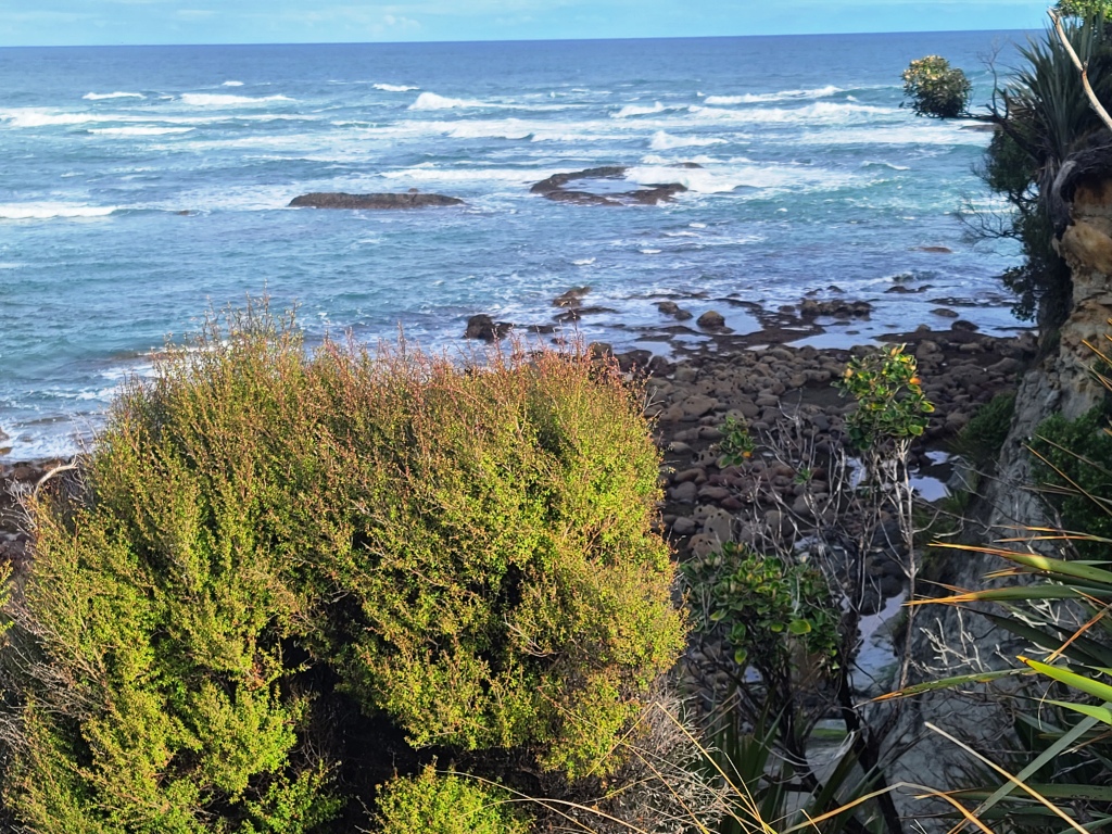
Looking south out to sea
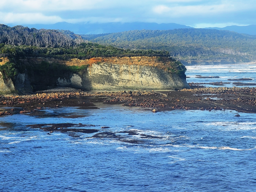
I am quite confident anyway that you could walk along the beach from the Angus Burn (at a lowish tide) perhaps exiting on the East side of the Crombie Stream and continuing along the well-cleared cliff-top path to the Waitutu Lodge – but at low tide you can walk all the way. A path down to the beach where this burn exits would be great anyway for fishing and Paua collecting. I am hopeful someone will soon clear and mark such a path. Bring a machete or brush-hook folks.
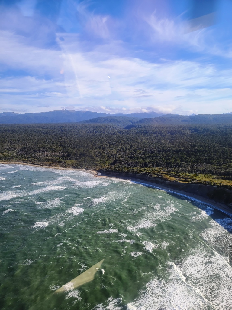
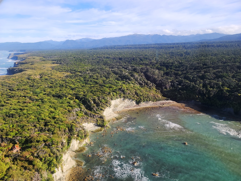
The beach below the cliffs between the Waitutu Lodge and the Crombie Stream (indeed all the way to the Angus Burn) as shown is clearly walkable at low tide. The photo is about half tide.
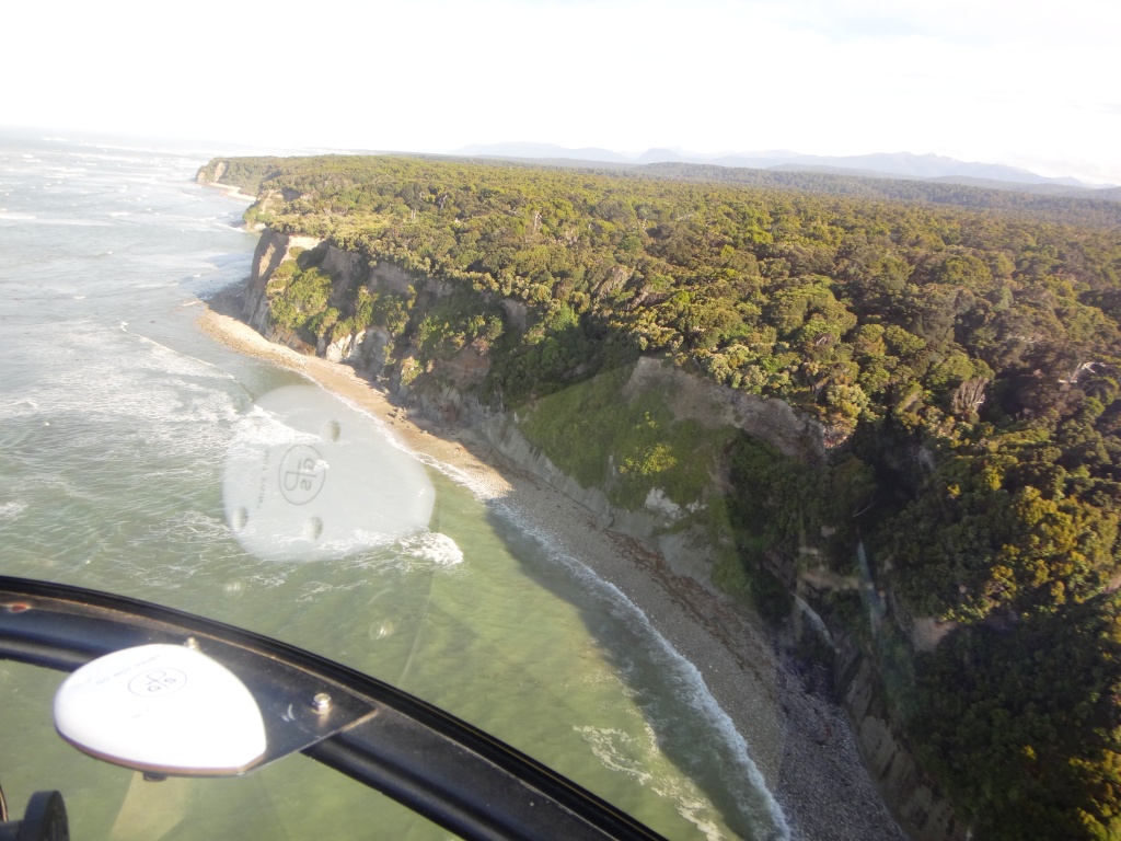
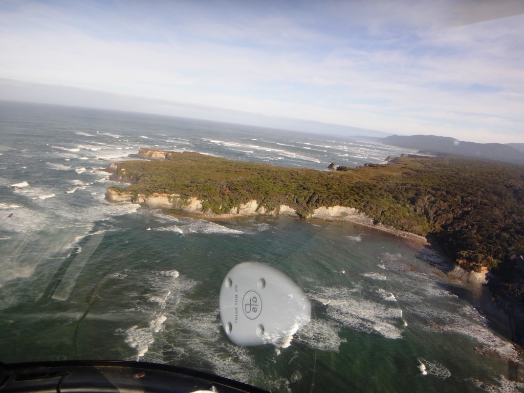
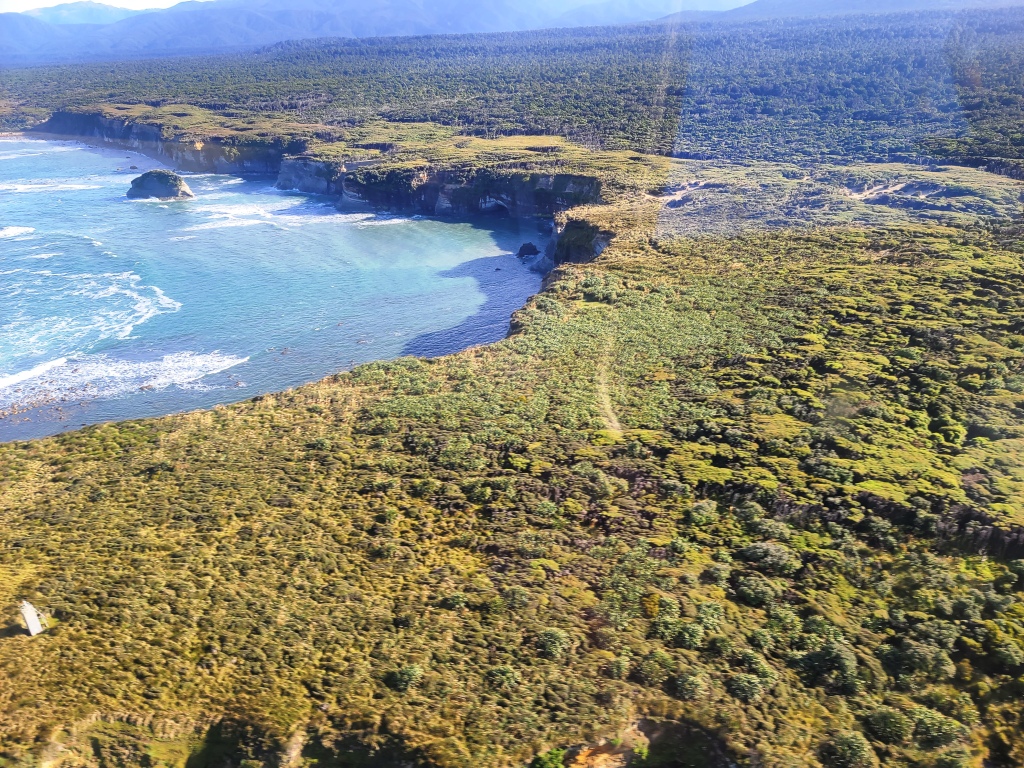
In this shot we are just passing over the Crombie Stream looking out towards Long Point (in the distance). The next beach you can see is the Angus Burn (also in the following photo). Clearly the tide needs to go down a but more.
Crombie Stream outlet.
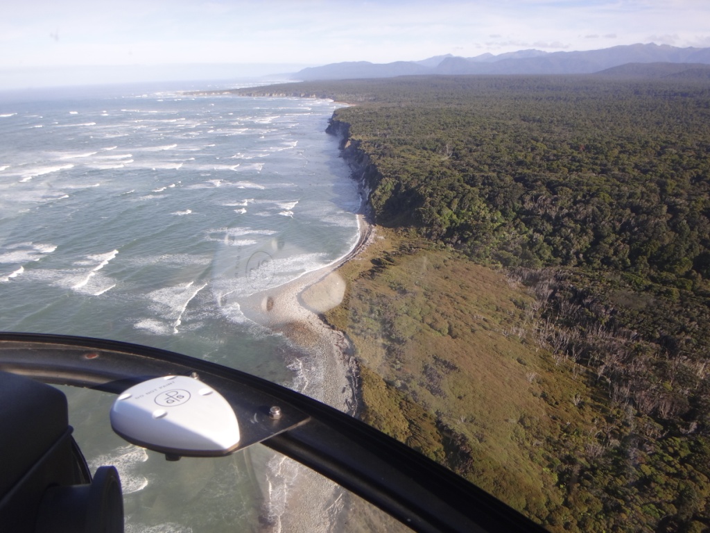
Angus Burn outlet.

Looking from the Crombie out towards Long Point
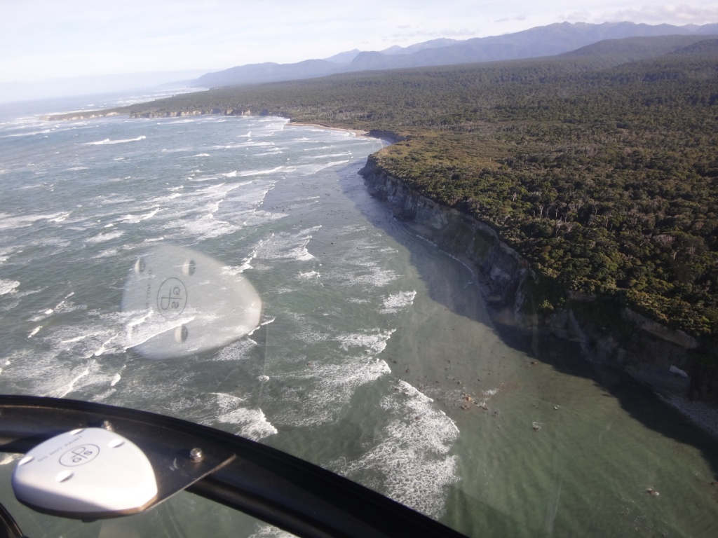
Long Point Hut looms in sight seen as a red smudge in the centre of the photo. It looks like you could climb down very near the hut or about 100 metres to the right (in the photo). You can certainly access the beach where the burn meets the sea (in the shadow at the right hand end of the beach – see later photos taken from the hut at low tide).
It would be great if there was also a path through to the sandhills which a couple of hundred yards before the Hut are only about fifty yards away from the track (You can see them on your right as you walk in). They start probably about 200 yards due South of the hut. You could clearly walk along these grassy sandhills nearly all the way to the Waitutu River – so many hundreds of acres of grassy feed for deer (and probably pigs too). It is probably possible to find a way down the cliffs nearer to the hut to the sea which again would be a great addition to a truly wonderful facility. It looked a bit too steep for me (at 75) near the helipad and Della would not let me even try anyway.
About ten years ago someone flew a beautiful pot-belly stove out there which is yet to be hooked up. The roof has begun to leak too (but not over the bunks yet). I would be willing to make a donation to a fund to restore this great hut even though (at my age) I am unlikely to have the opportunity to use it again. I can just imagine spending a week or so there hunting, fishing and exploring. Someone has left an old chest freezer there which makes an excellent vermin-proof storage space for food and etc (well-stocked). It even came with a couple of dozen cans of beer when we were there. A few years old but according to the hut book still palatable. A pity I no longer drink.
The aerial photos were taken at about half tide. The tide went out a lot more than that such that you could have walked along the beach below the cliffs in the photos below adjacent to the hut. It seems like you could get down either where the burn comes out on the right hand side of this photo or about eighty yards from the hut (about half way to that burn). I think you could possibly also clamber up and down from the helipad, as I said but a fall there would be disastrous.
Long Point Hut on the far left of this photo. The burn I talk about is in shadow at the right hand end of the beach.
This is the outlet of that unnamed burn looking at it from the it heliport adjacent to the hut at low tide
And this is the view looking back towards the Angus Burn – it just may be walkable. You would have to be there at low tide to tell, Please message me if you have walked it. There appear to be a couple of deep holes just around the corner from here at half tide.

Another view of the hut and Long Point looking towards the Waitutu River.
This is the view from the light station (left) all the way along the coast to the Waitutu River (where the land drops off at the far right off the photo). Many acres of relatively negotiable hunting country there. I think this ‘open’ country could be accessed by walking along the clifftops immediately after you have ascended them after crossing the swing bridge from the Waitutu River walking back towards the Wairaurahiri. There are clearly lots of game trails.
Read More:
Slow Walking NZ’s South Coast Track
Long Point Hut Fiordland A Hidden Gem
South Coast Track Wairaurahiri to Waitutu
South Coast Track Waitutu to Westies
South Coast Track Wairaurahiri to Rarakau
South Coast Track Westies Hut to Cromarty