I called the post ‘Slow Walking NZ’s South Coast Track’ as that was what we intended to do with both of us now in our seventies and not really fit enough for the rigours of the track, ie 7+ hour sections etc. I thought I had worked out ways to shorten each section (and I had) so that each was no more than say 4+ hours so that what would otherwise be arduous for us would instead be fun – a bit more than a gentle stroll, but doable (and enjoyable). I think you can still do so but we made several ‘mistakes’ (such that we often had to walk much longer) which I hope this article will allow you to correct. I think (in any case) if you take (eg) a hammock and tarp (which you should do for safety anyway) you can break the sections with an enjoyable camp-out in the bush. This is what I plan to do on the Dusky next year, as I am otherwise far too old (at 76) to walk the track but want to do so again anyway.
A trip out to Westies is one of the great NZ adventures – one of the best adventures anywhere really. We walked out there (and back) in 2016 (see our several posts eg Westies Hut & etc) when I was a mere 67, but nine years later it is getting to be a bit of ‘a bridge too far’. That time we came down the Wairaurahiri River in one of its jet boats – an unforgettable experience – do try it – then walked out and back to Westies from the Waitutu Lodge, spent another couple of nights at the Lodge then walked back out to Rarakau via Port Craig.
This time we had decided to have ourselves dropped in (to Westies) by helicopter as the Wairaurahiri jet boats were not running due to lack of water in the river – so this description should be read as instructions how to walk back from Westies. It cost $2000 (that is the total cost of the heli, not per person) from the Rarakau car-park with Dale from Fiordland Helicopters but you can take lots of food (& gear) if you plan to stay there and really enjoy that magic spot. You can also drop stuff off at the Waitutu Lodge and Long Point Hut on the way. Great fishing and hunting. A really stupendous holiday destination. We really hope we will be back again one day, maybe for a longer stay (and hopefully a longer stay at Long Point Hut as well).
There was a (sort of) amusing aspect to our stay there: Normally I carry a satellite phone and Della carries the satellite messenger so we can call out for help if we need it. As we did not, we did not plan to call the other kids on any regular basis (if at all – it costs) however unbeknown to us just as we arrived at Westies there was an earthquake just off Westies Hut and a Tsunami Warning was broadcast on the Australian media. Naturally we knew nothing about this though I do remember mentioning (whilst we were there) that a tidal wave would shoot us out the top of the cave and high in the air before we died – quite a ride! Fortunately nothing of the sort happened.
The ‘tsunami’ was about 6″ high apparently. The kids at home were in a state of panic for days and had been ringing everyone they could think of in NZ most of whom assured them there was nothing to worry about. Roffy (one of the Wairaurahiri jet-boat operators) told them that the only thing to worry about was that we should not go out and pick up the fish that were stranded on the shore as the water pulled back before the trsunami arrived – but he opined that we knew that!
We knew nothing of any of this until Irralee ‘found’ some internet at the Waitutu Lodge several days later. We are now under strict instructions to ‘keep in touch’. Good heavens we have lived 76 years without having a nanny! I would rather my bones were found under some tree fern far from civilisation anyway than die incontinently in a wheelchair in an old people’s home anyway. That particular exit is not for us! If I am still capable if such wilderness trips in my nineties expect me to be there.
In this post I will just include some photos of the section from Westies to the Waitutu River. I will do a separate posts about Long Point and the Waitutu Lodge and Port Craig to complete our explanation of the track.
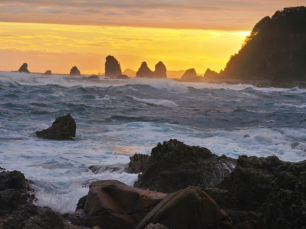
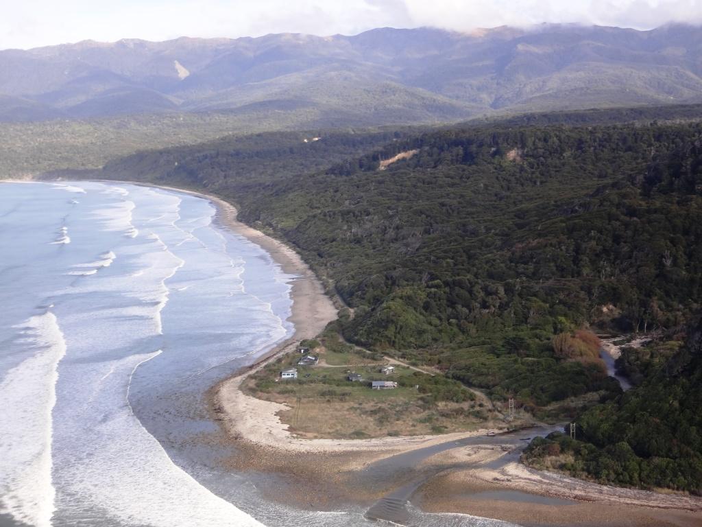
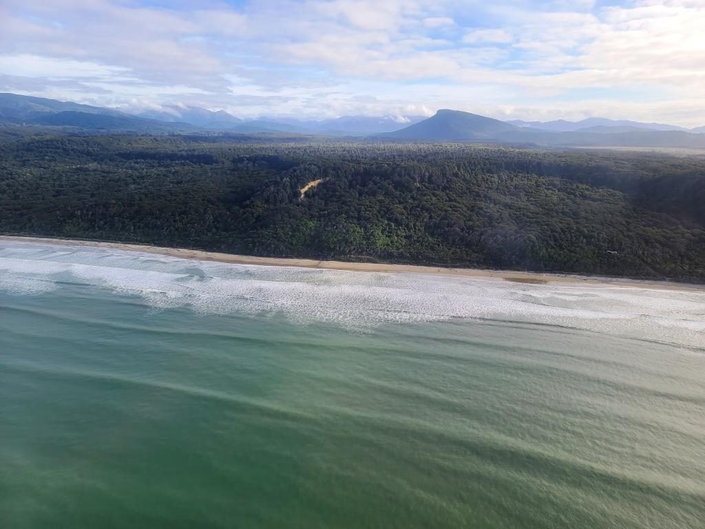
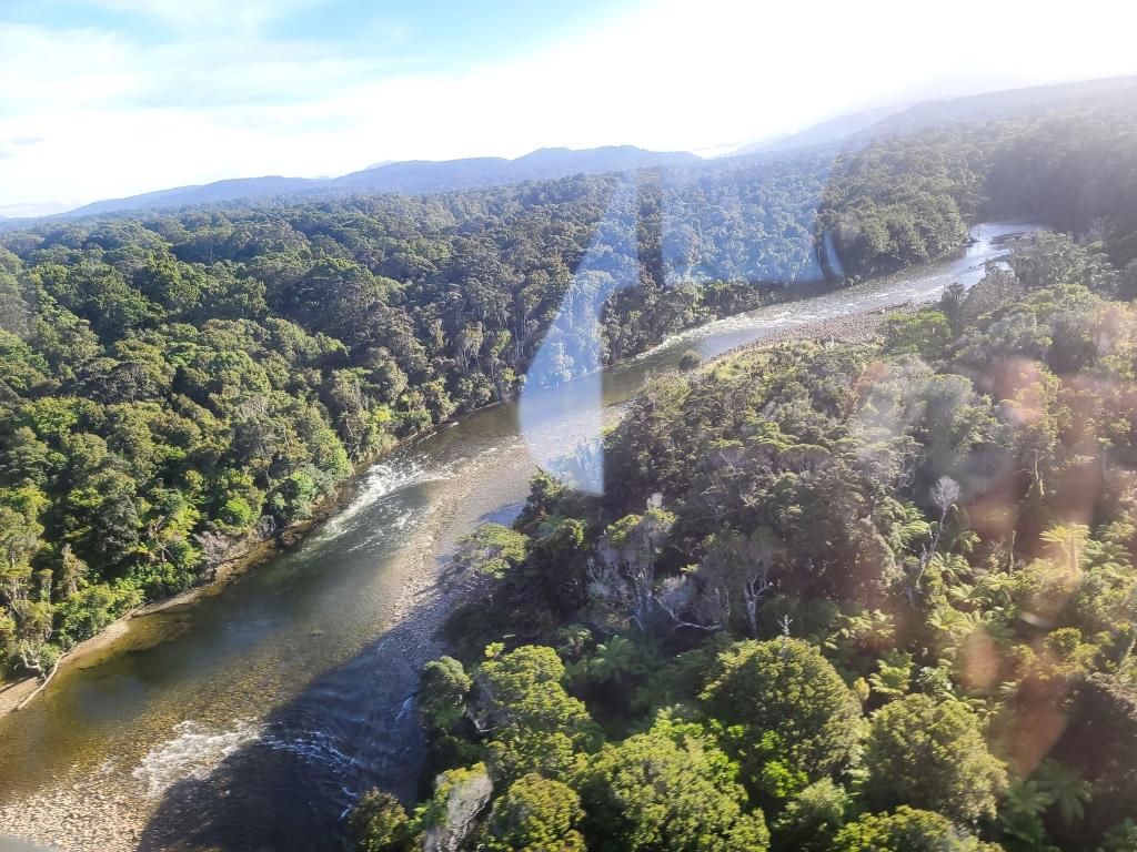
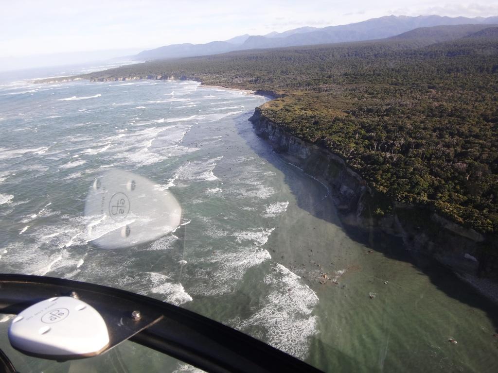
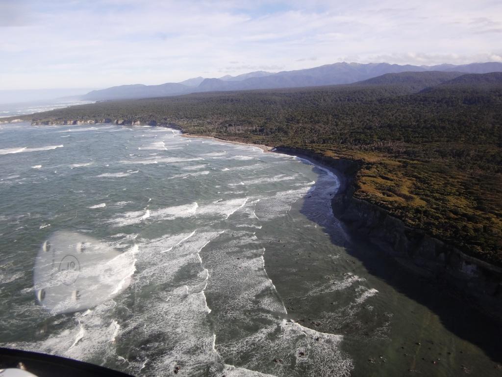
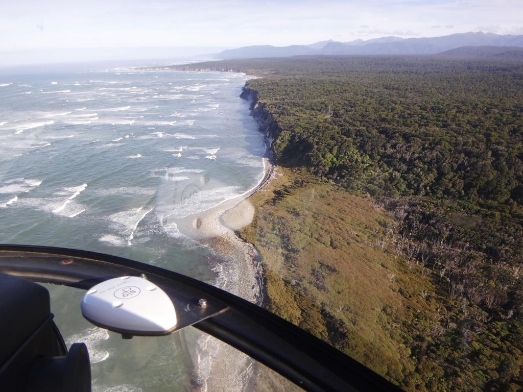
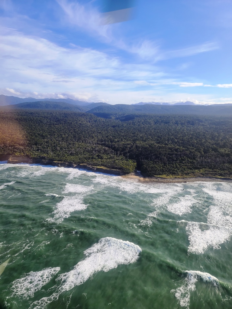
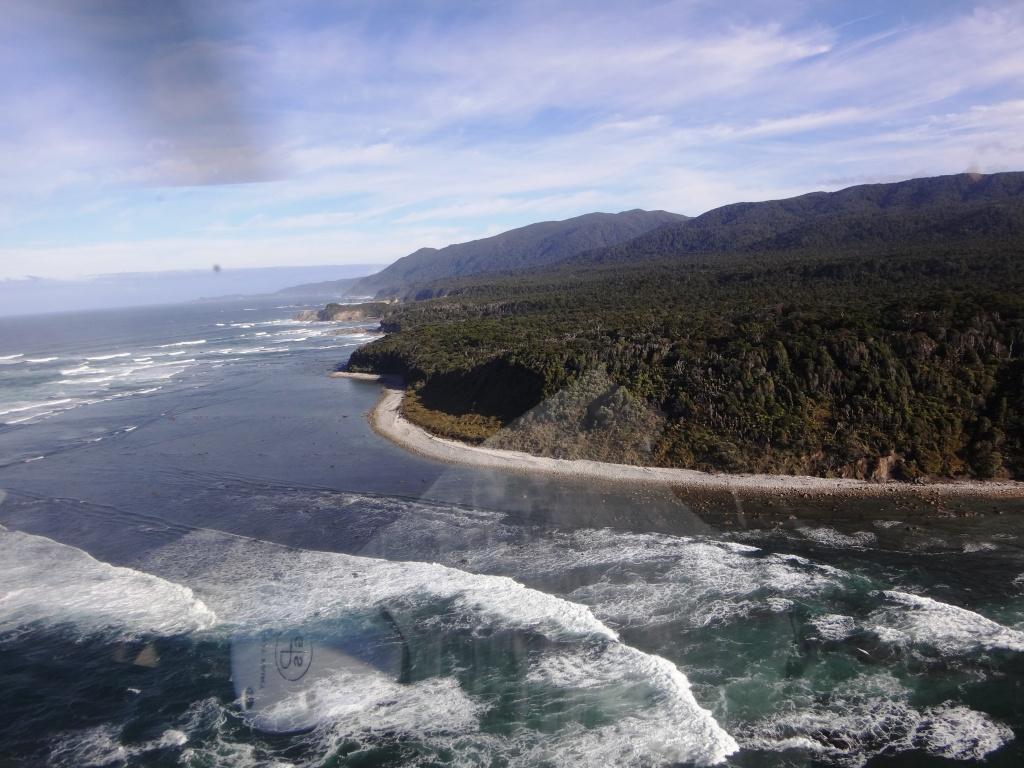
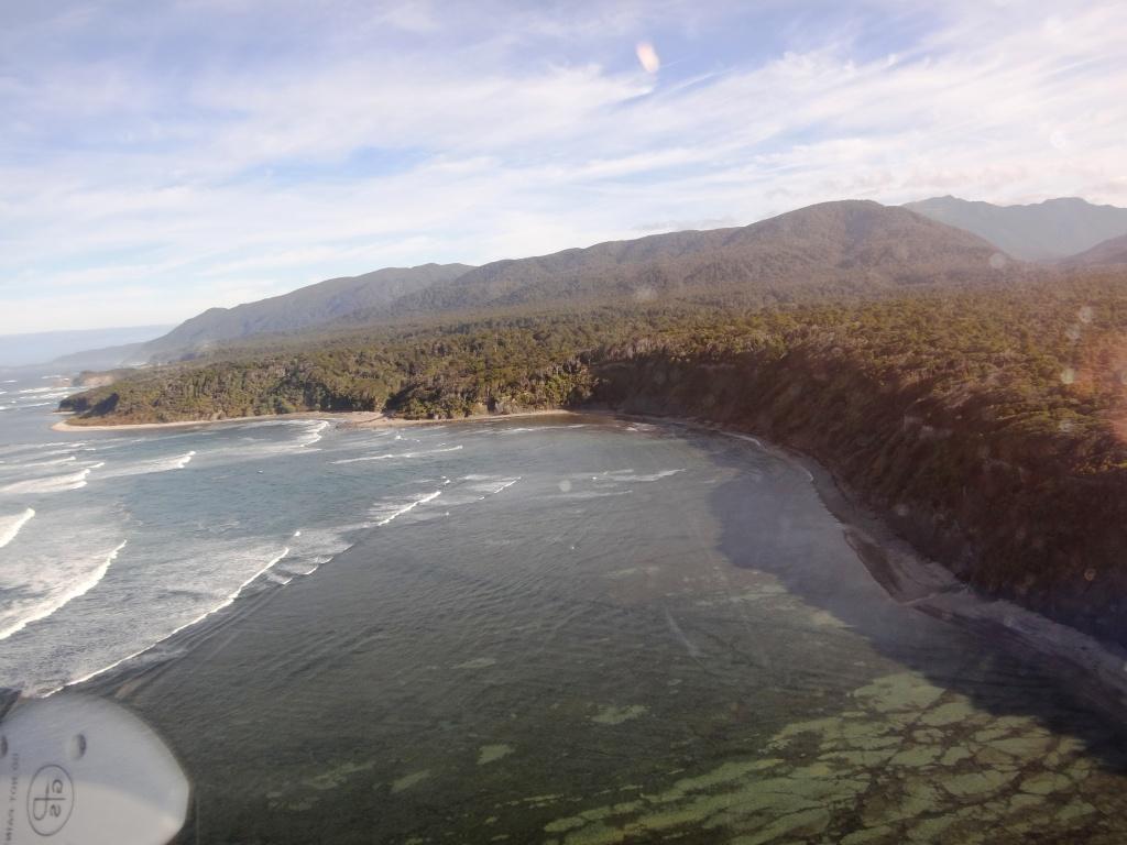
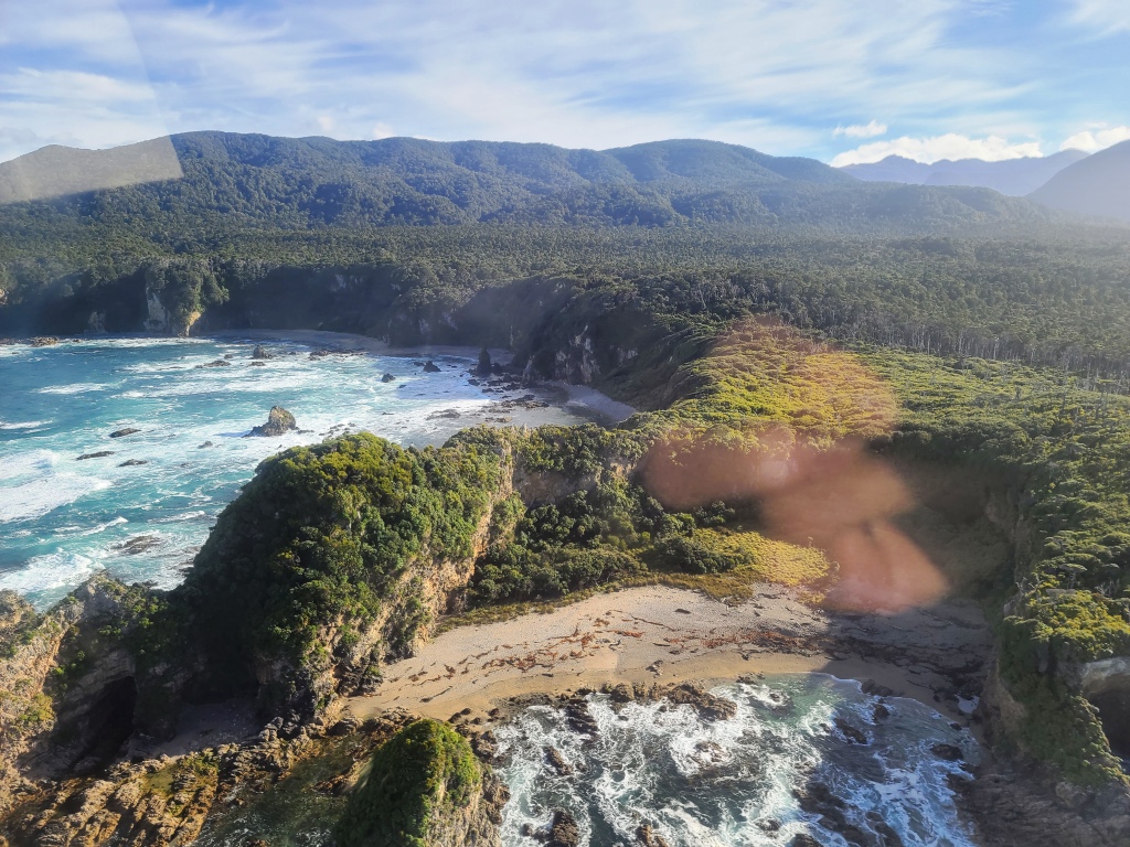
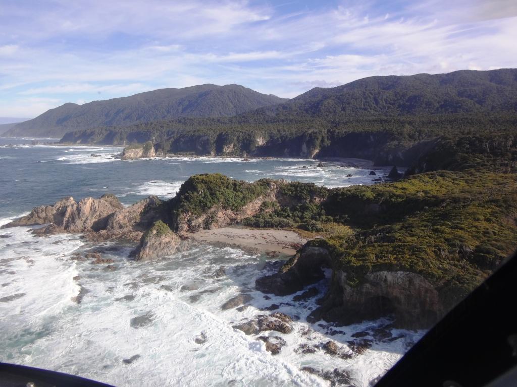
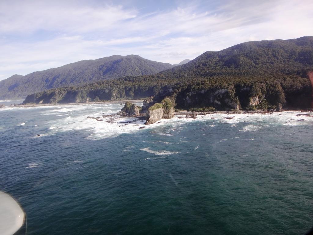
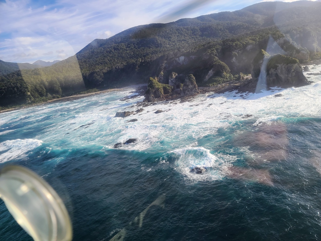
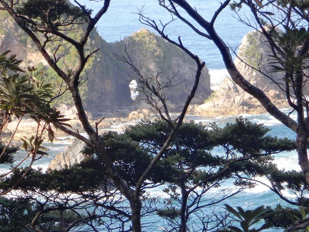
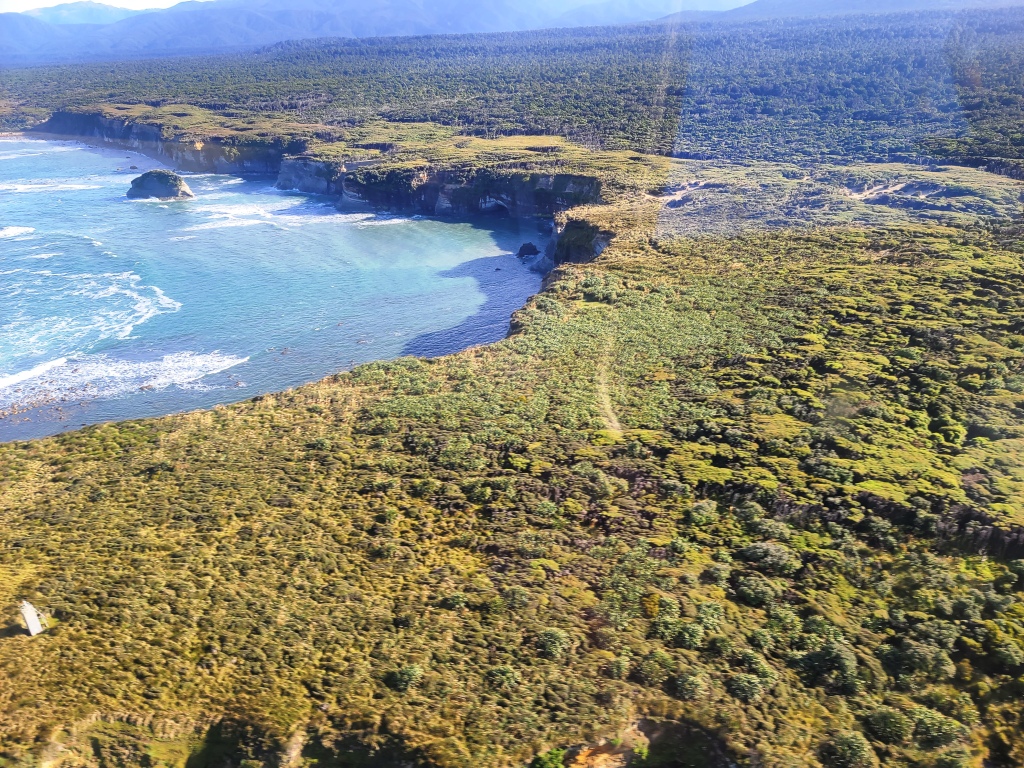
First I will include some coast snaps to give you an idea of the coast sections you can walk as an alternative to the track when the tide is out a bit more (usually). Some (most) of these were taken through the heli window, so please forgive the quality. There is also not much time to take photos as well as enjoy the ride ‘visit’ with the pilot etc, as the flight only takes twenty minutes or so. Della and I were both snapping away.
Some of this aerial footage is also included in the post Long Point Hut – A Hidden Gem
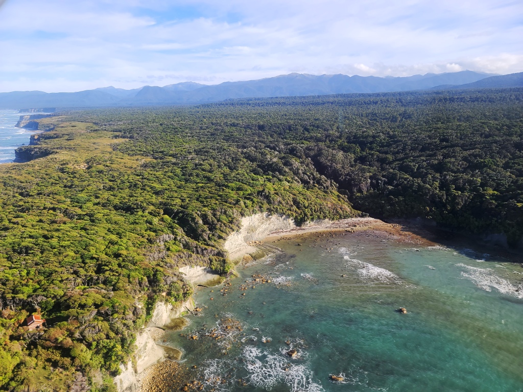
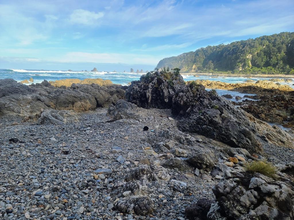
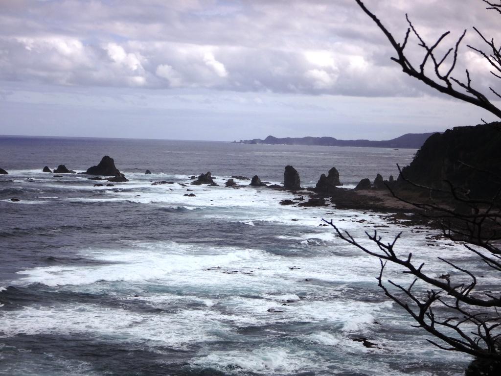
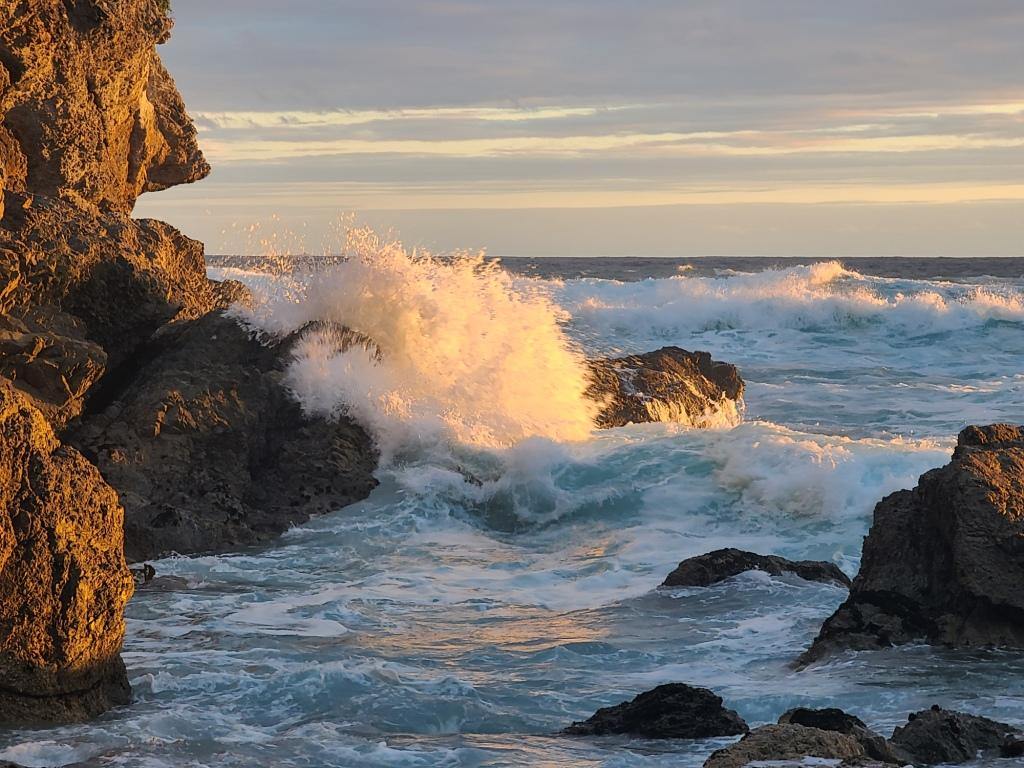
Rarakau Cliffs
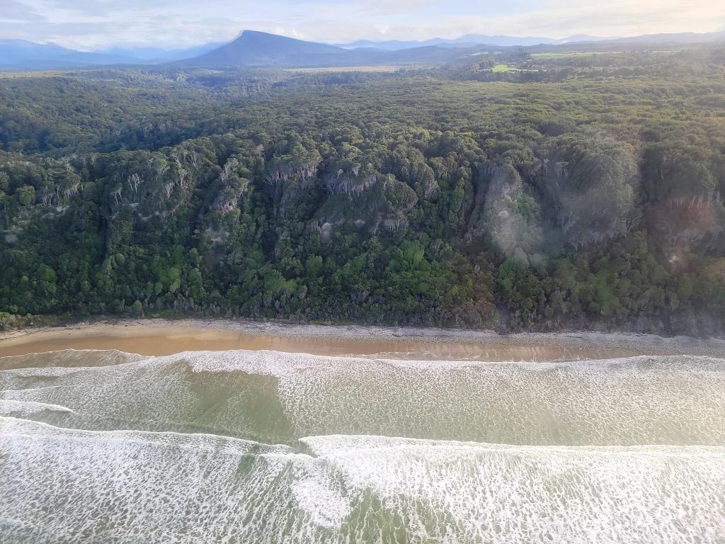
Waikoua River
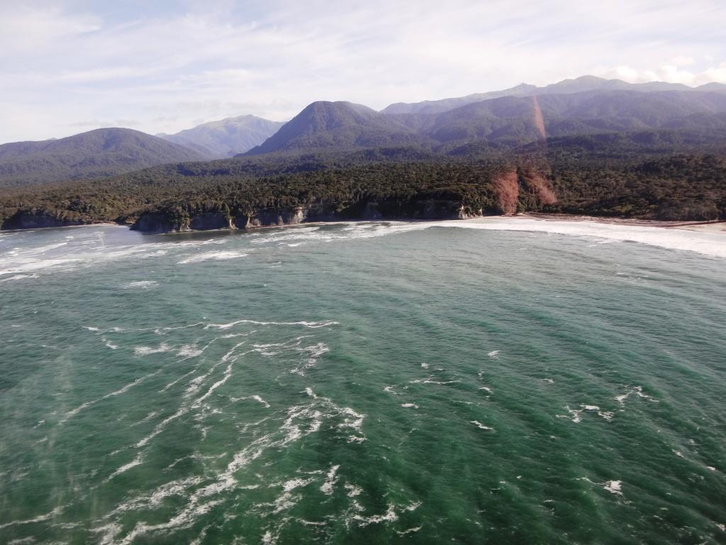
Blowholes Beach
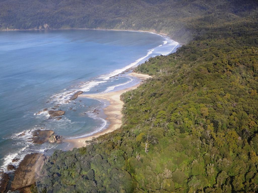
Te Wawau Beach
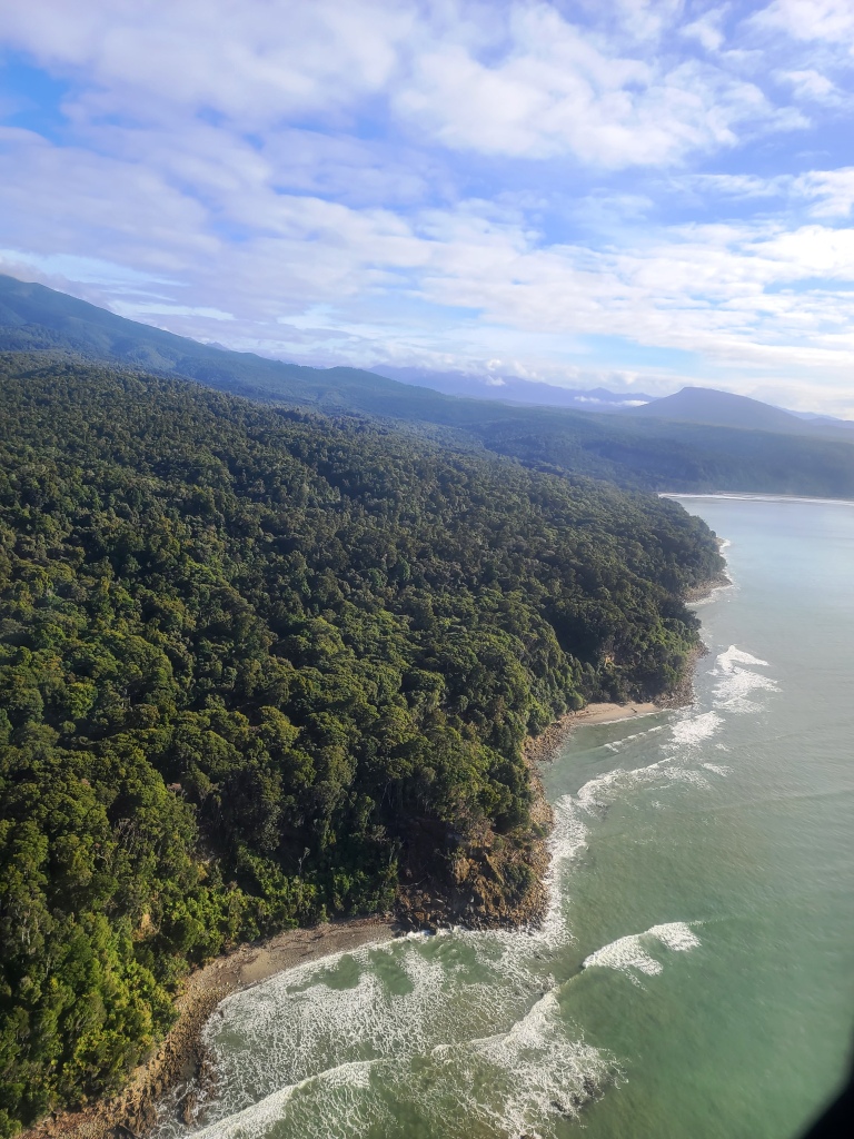
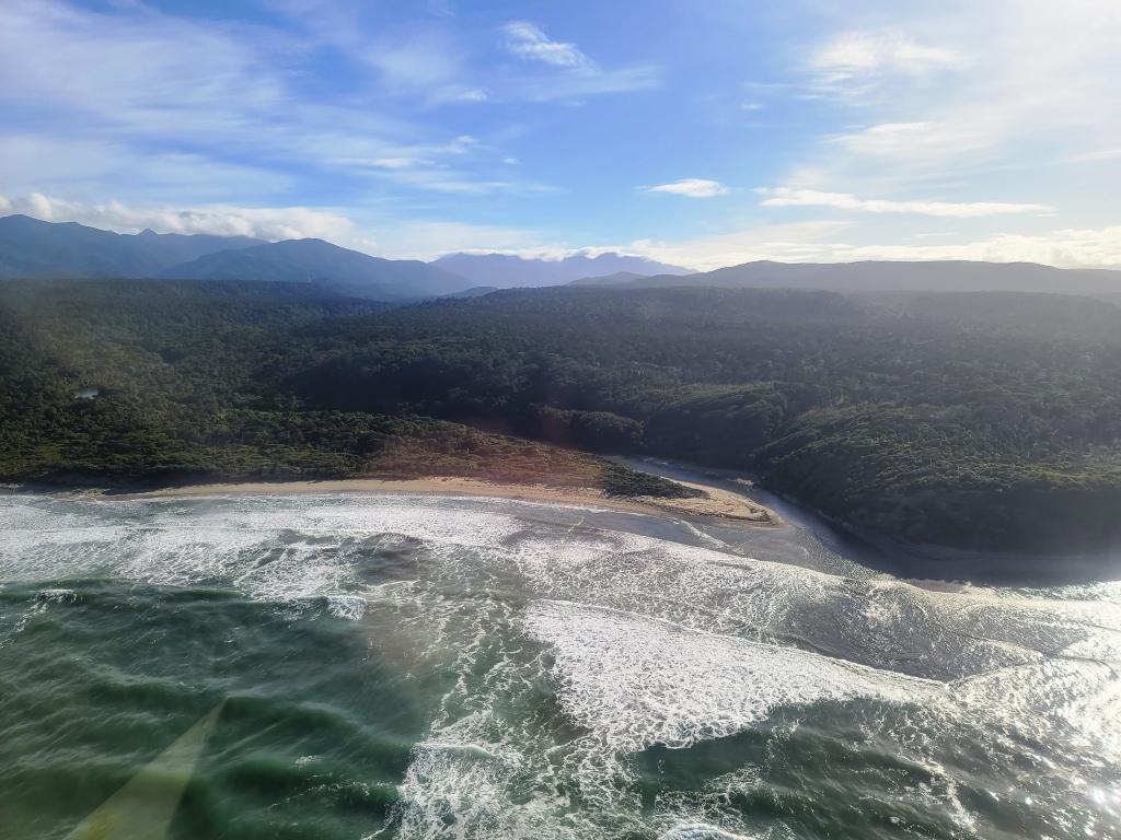
Wairaurahiri River
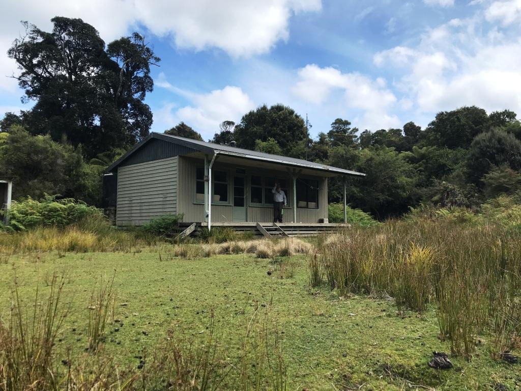
Waitutu Lodge
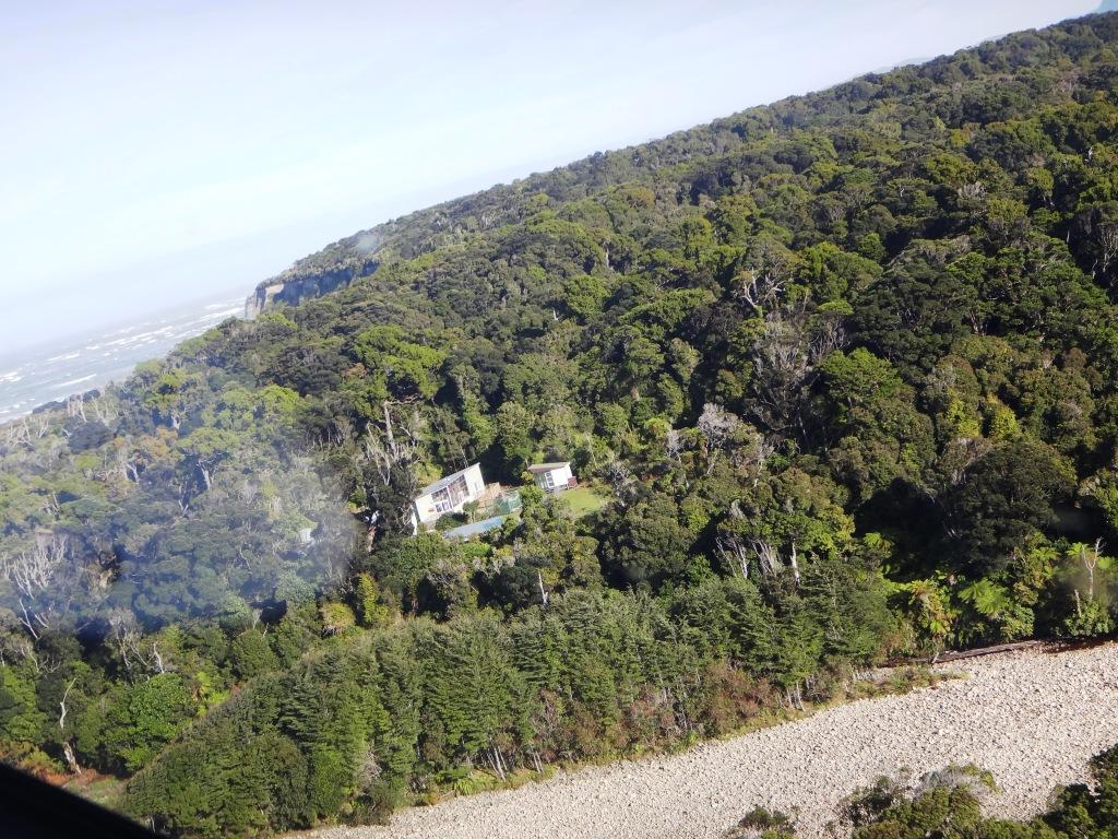
Waitutu Lodge to Long Point.
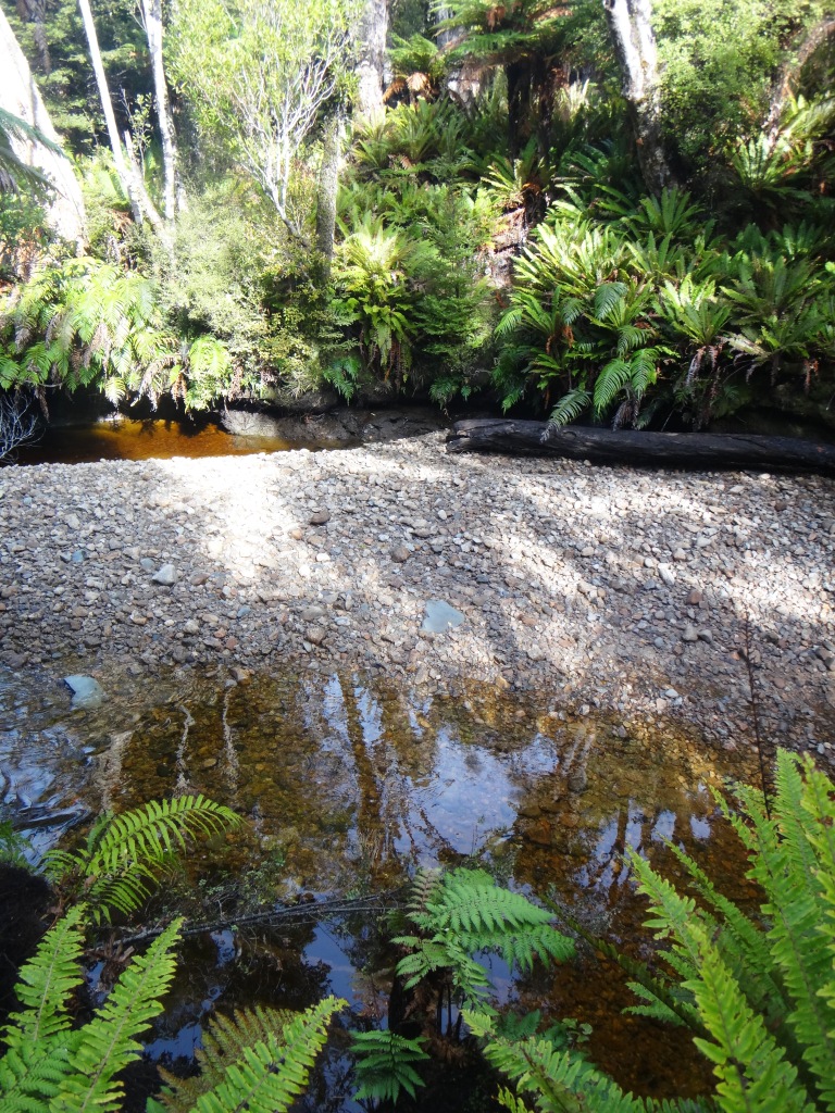
Crombie Stream
Angus Burn
Long Point – hut on left.
Long Point light to Waitutu River

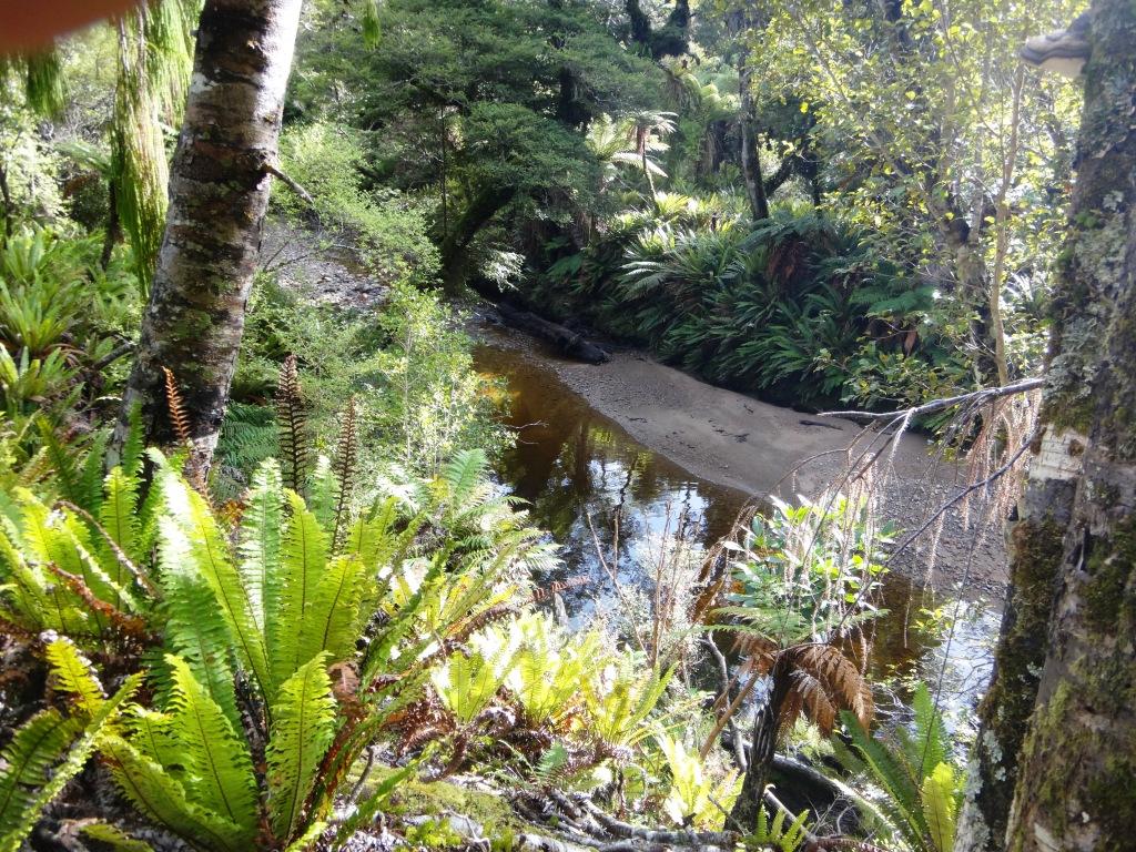
Waitutu River
Waitutu River to Grant Burn – see the steep piece of rock in the centre. Too tough for septuagenarians.
Grant Burn to Aan River
Grant Burn to Aan River
Aan River Centre
Aan River
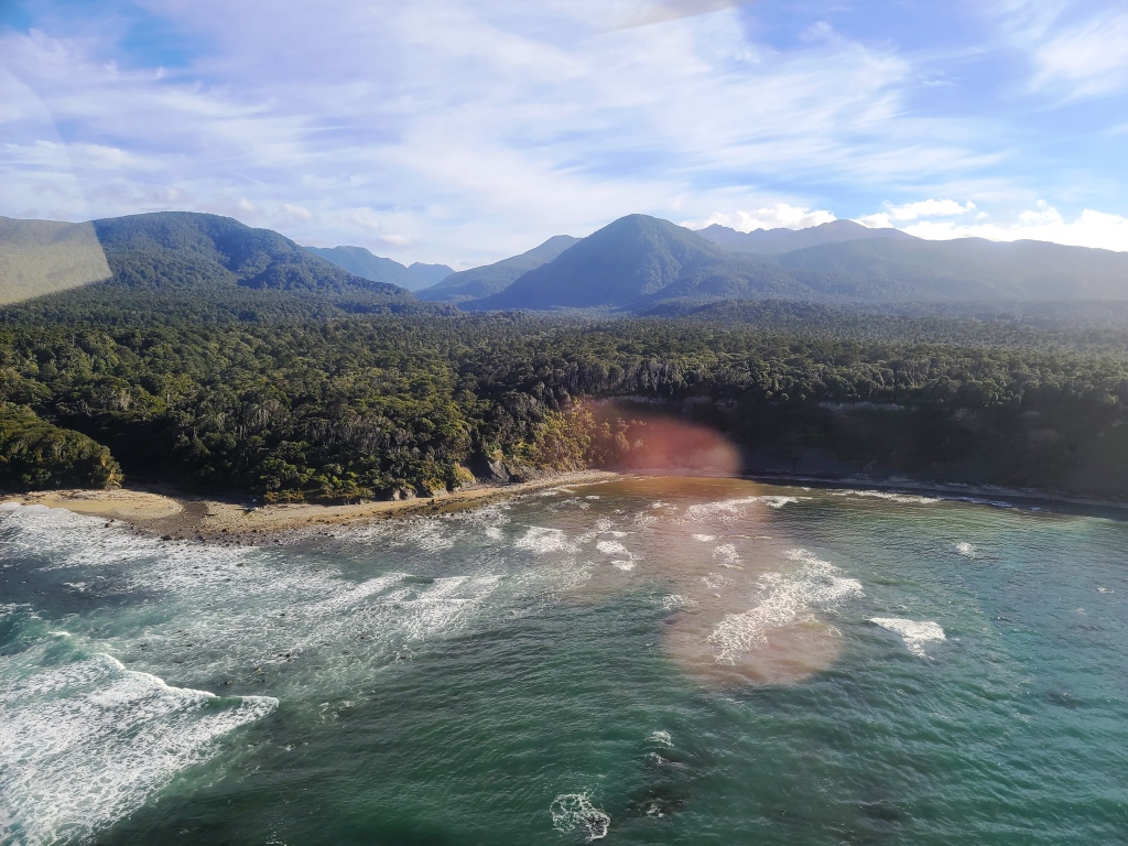
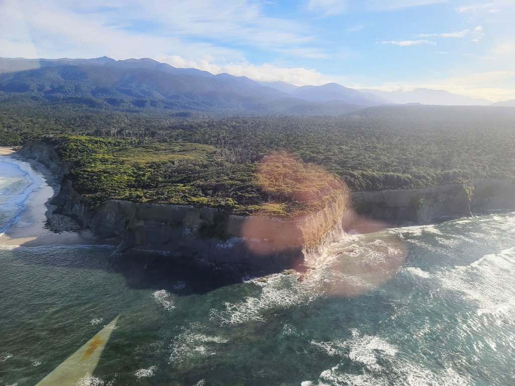
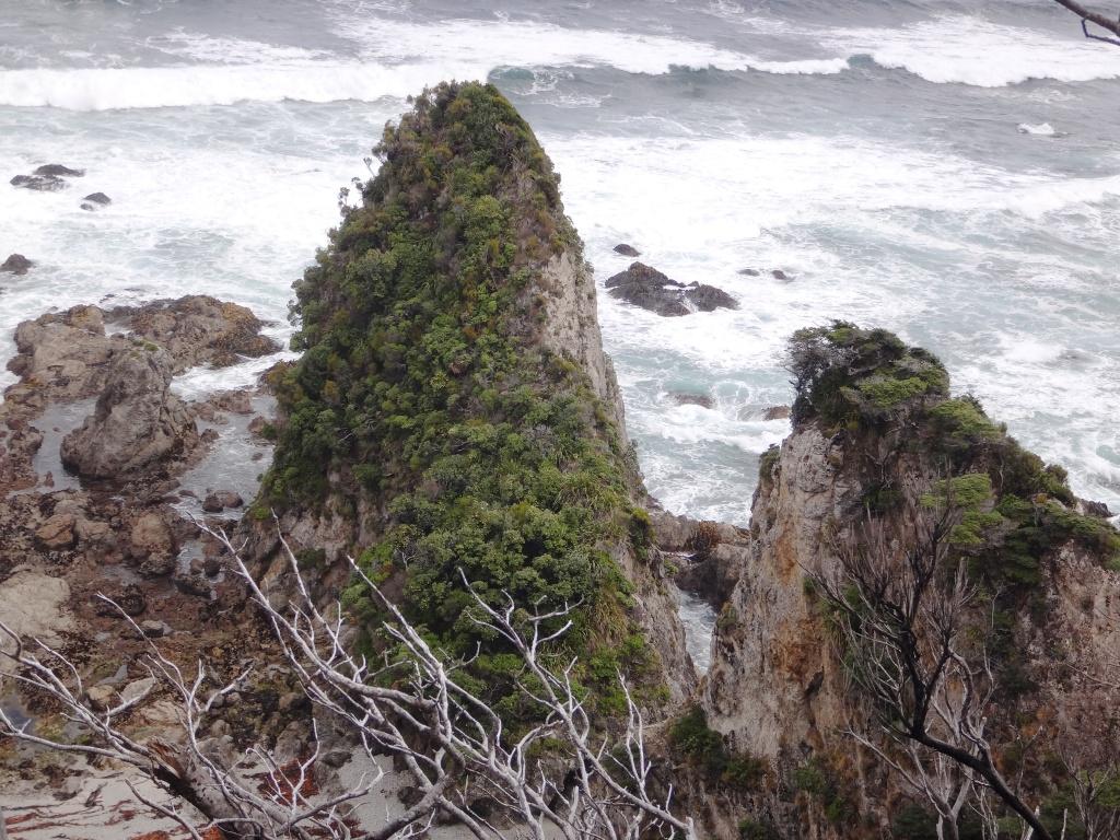
Price’s Harbour
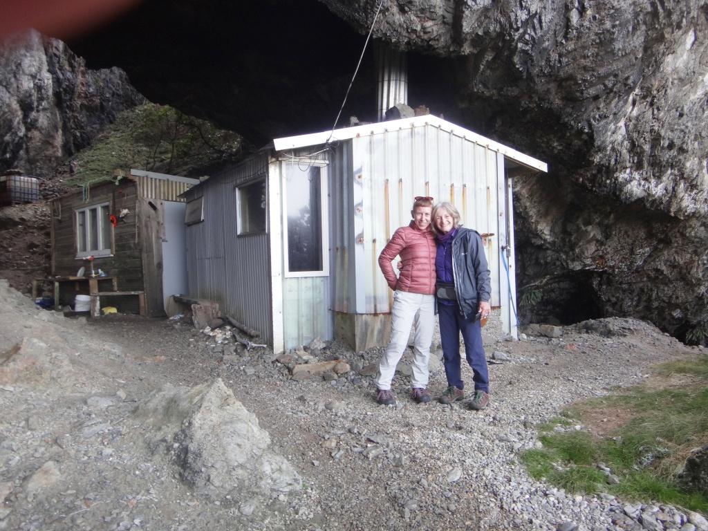
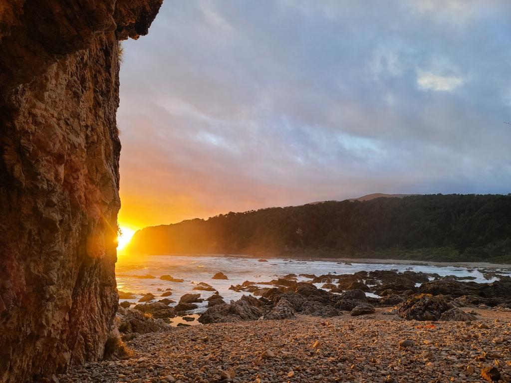
Coming in to land at Westies.
And we are down safely.
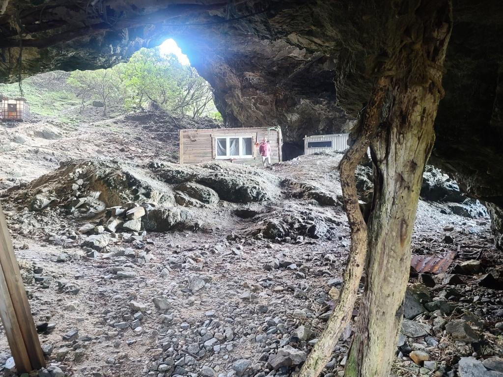
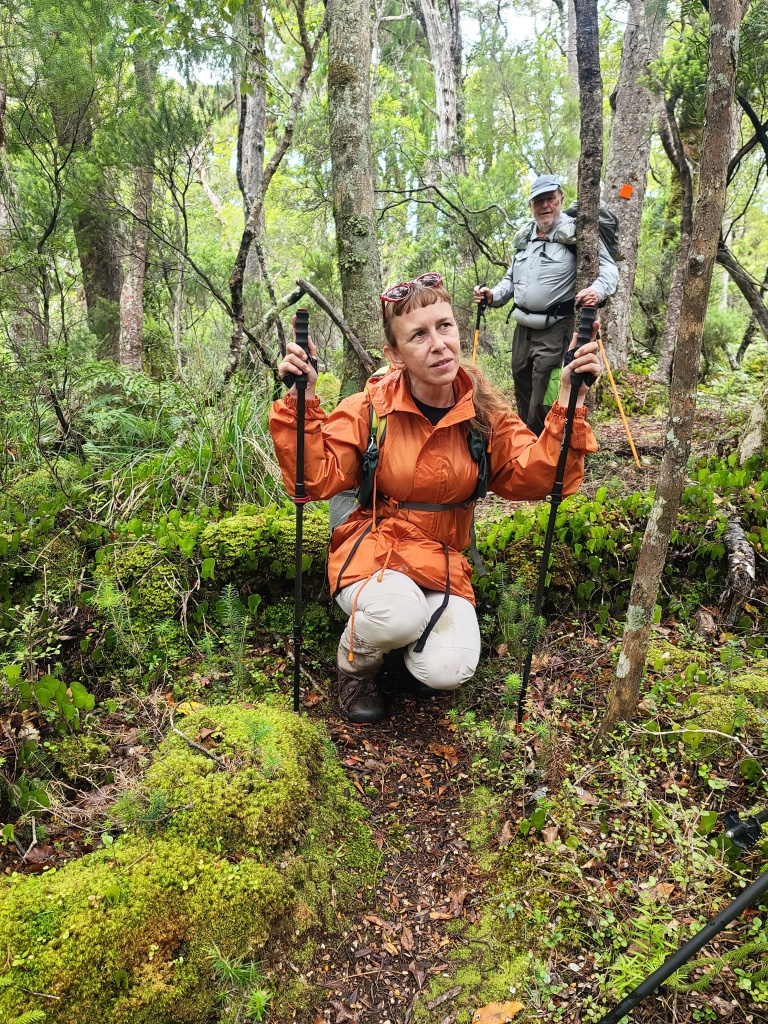
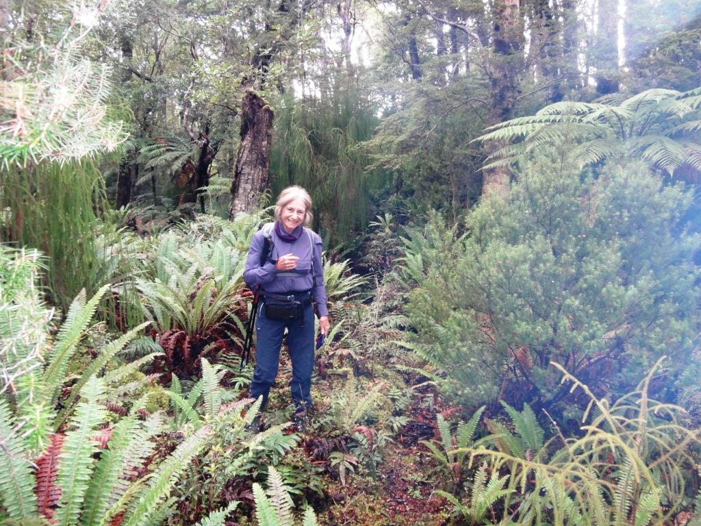
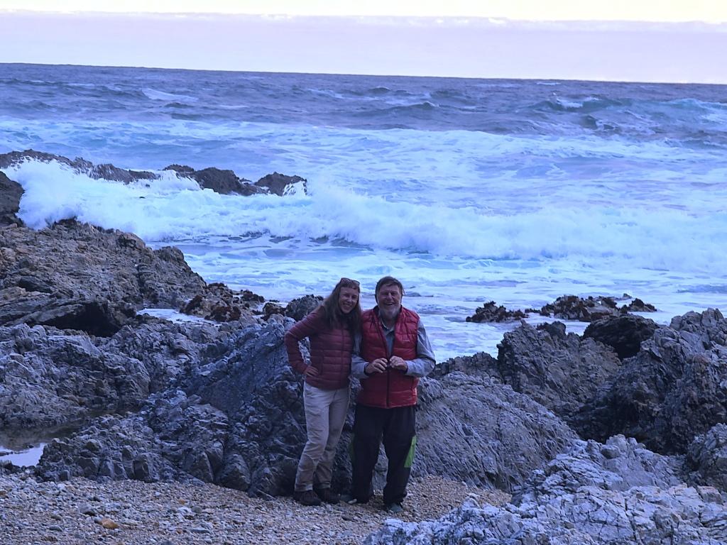
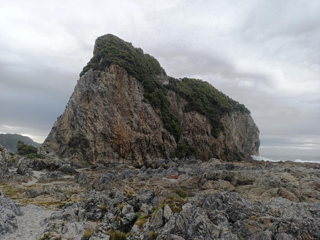
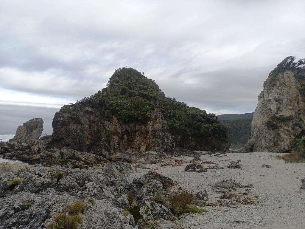
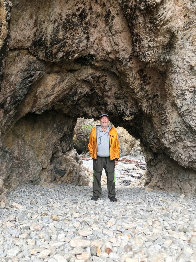
Westies Hut as you probably know consists of two huts in a Sea Cave at the Western end of Price’s Harbour. I love being here – and places like this. When we start out we will be about 80 km (approx 50 miles) walking distance back to our car at the Rarakau car park which is about as remote as you can easily get these days.
We had just enough time to take a couple of snaps proving we were there, leave some gear (and a note) in the hut and (we thought) time to walk out to Big River and back (which was supposed to be an hour each way). After two hours (with light falling) we decided to head back. Another time. The track out there had not been maintained for a long while and it was clearly further than suggested. If we are staying at Westies for a few days some time in the future we will make a day trip there. Apparently Big River (entrance) is superbly beautiful. Once there was a hut there, but no more. If you are fit and brave you can walk all the way out to Cromarty: Westies to Cromarty
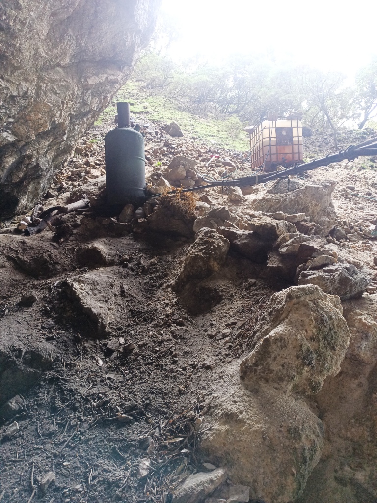
The two huts in a sea cave. We stayed in the nearer one which has a pot belly stove.
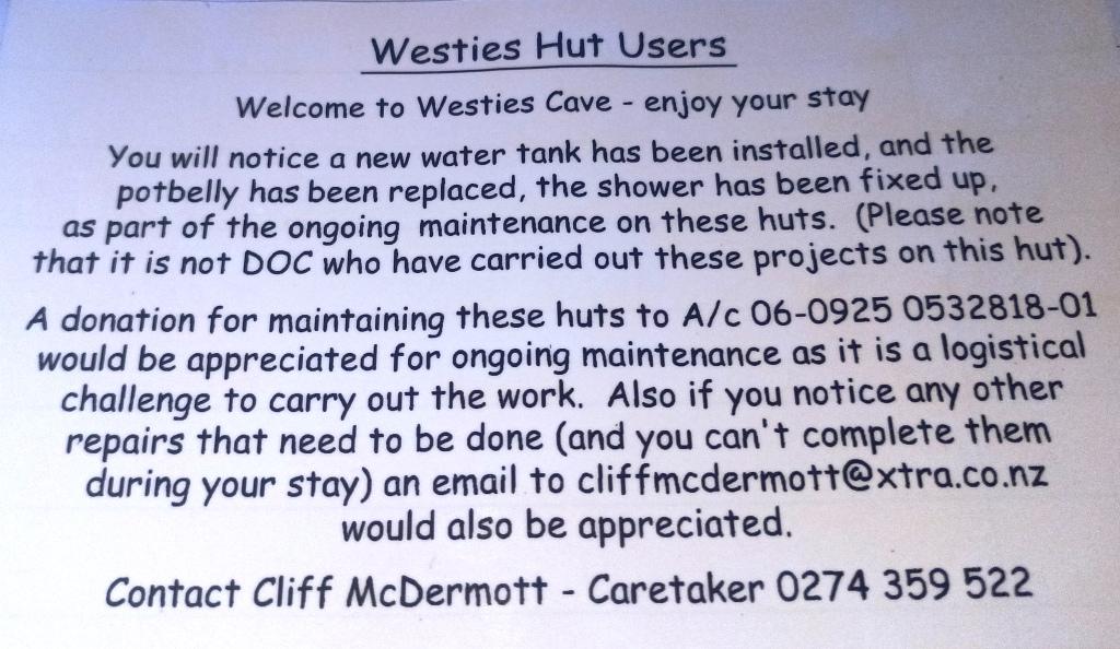
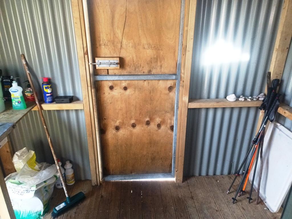
Here are the caretakers contacts.
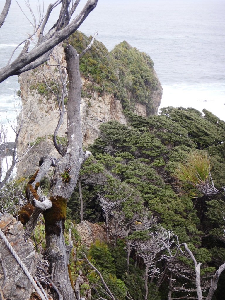
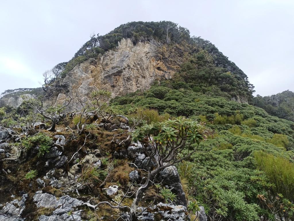
It is a steep climb up from Westies Hut.
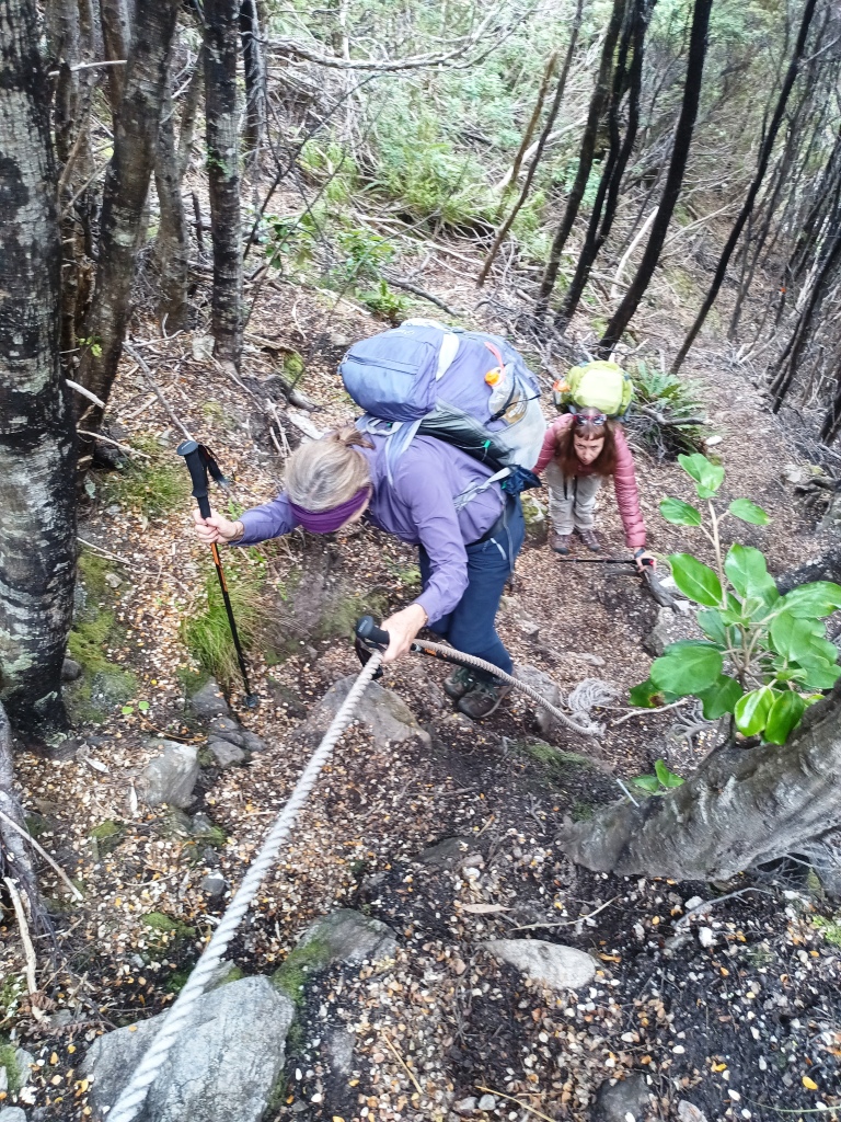
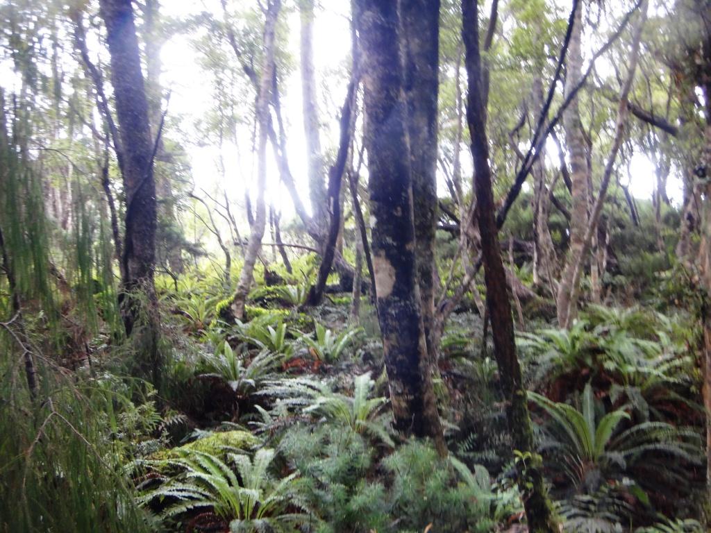
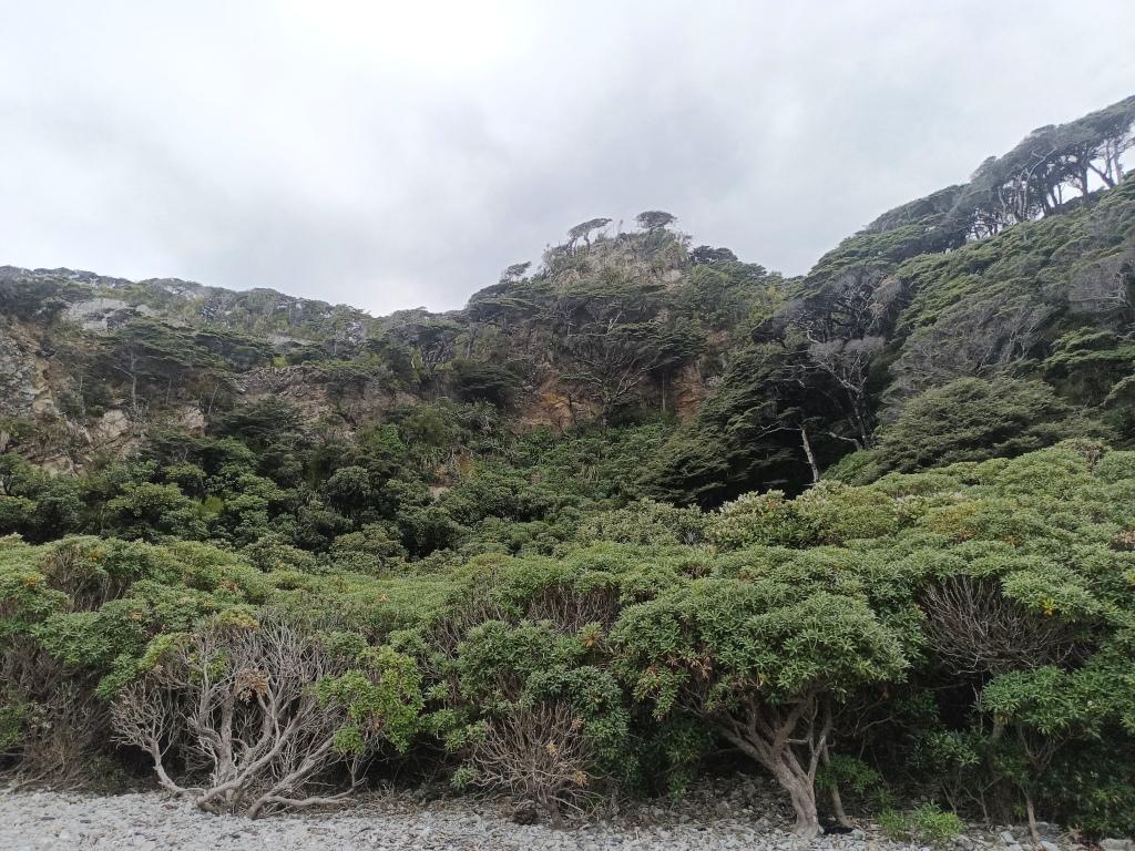
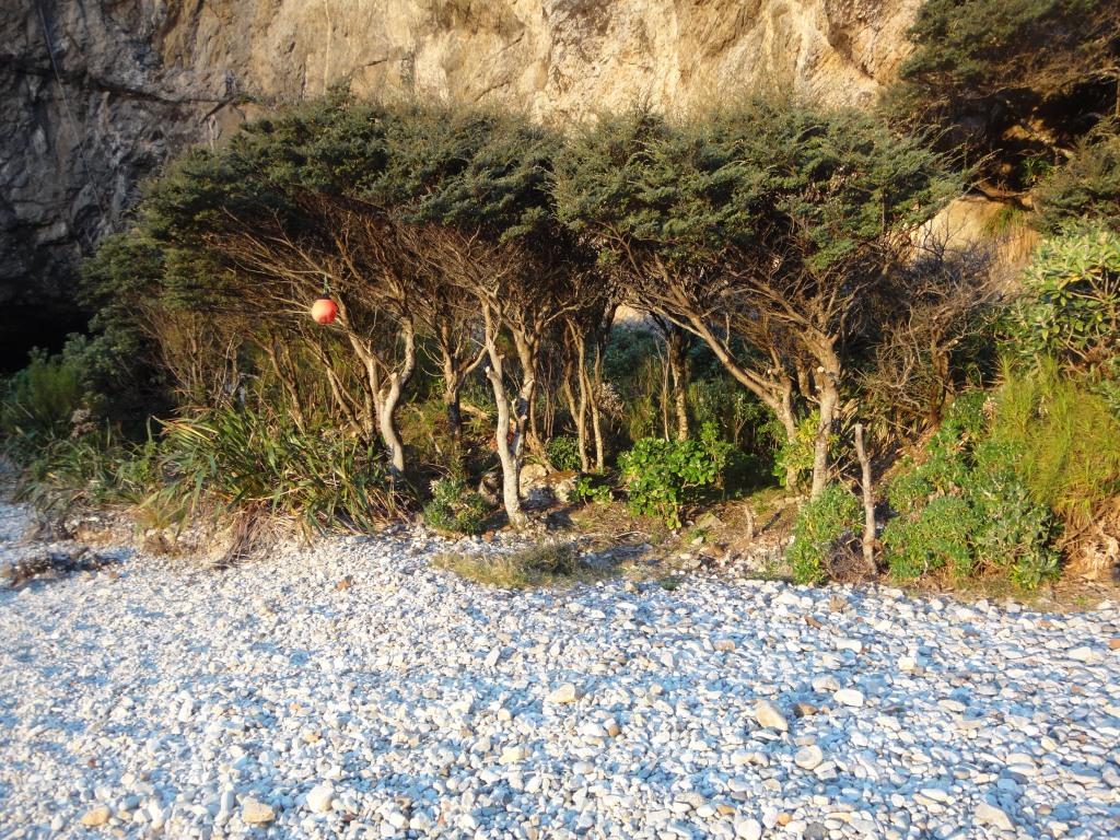
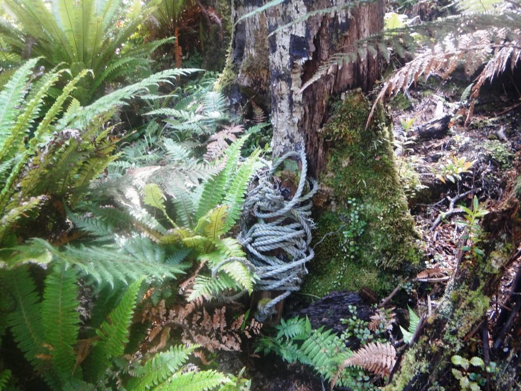
Into the forest
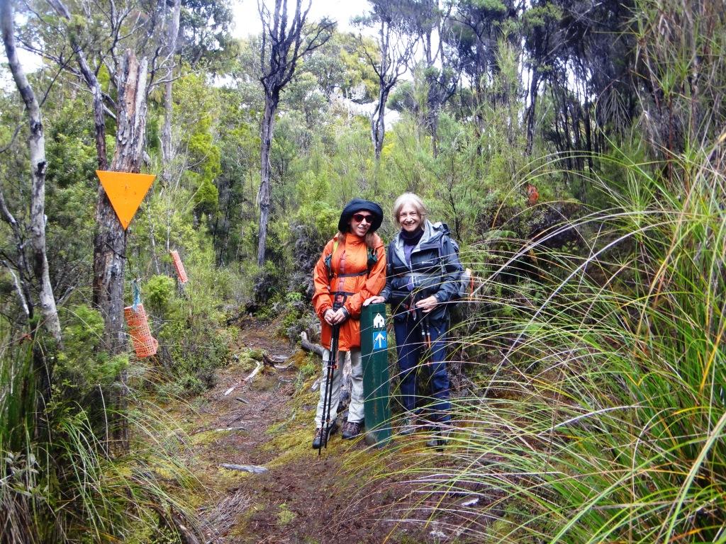
The turn-off to Westies Hut is impossible to miss.
As I said the track out to Big River needed some clearing.
Remains of the old telegraph line to Puysegur’s Point.
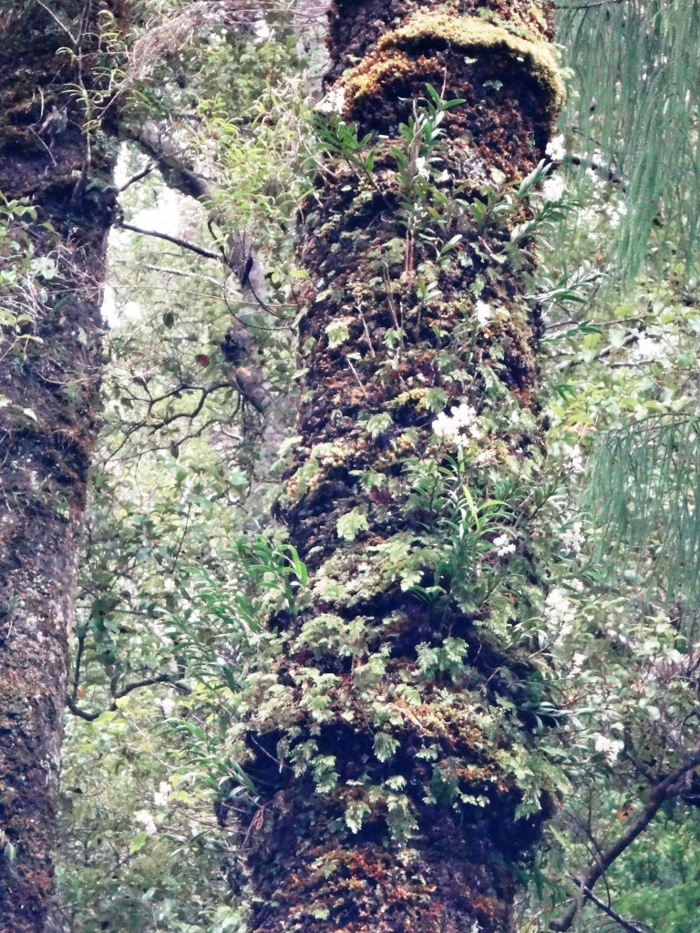
Epiphytic orchids were in bloom.
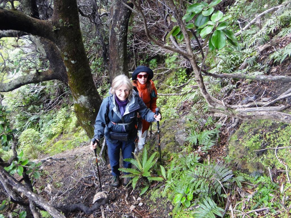
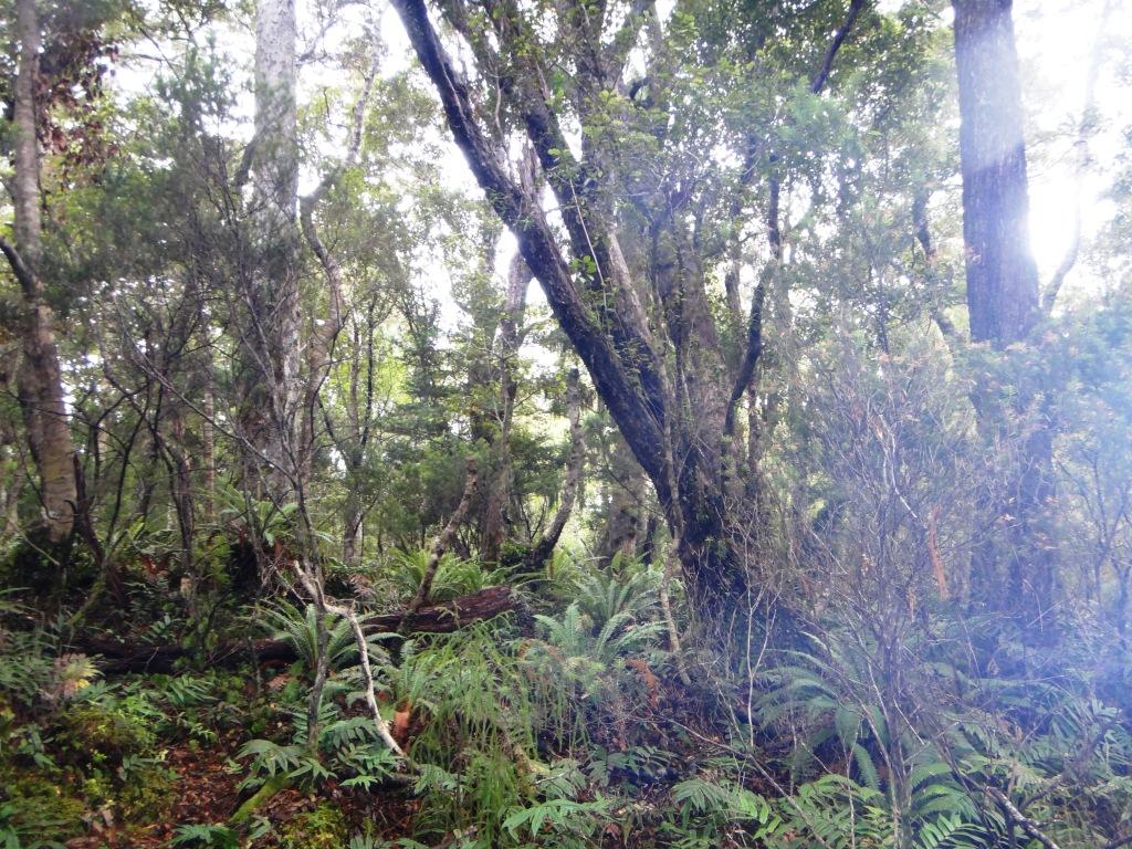
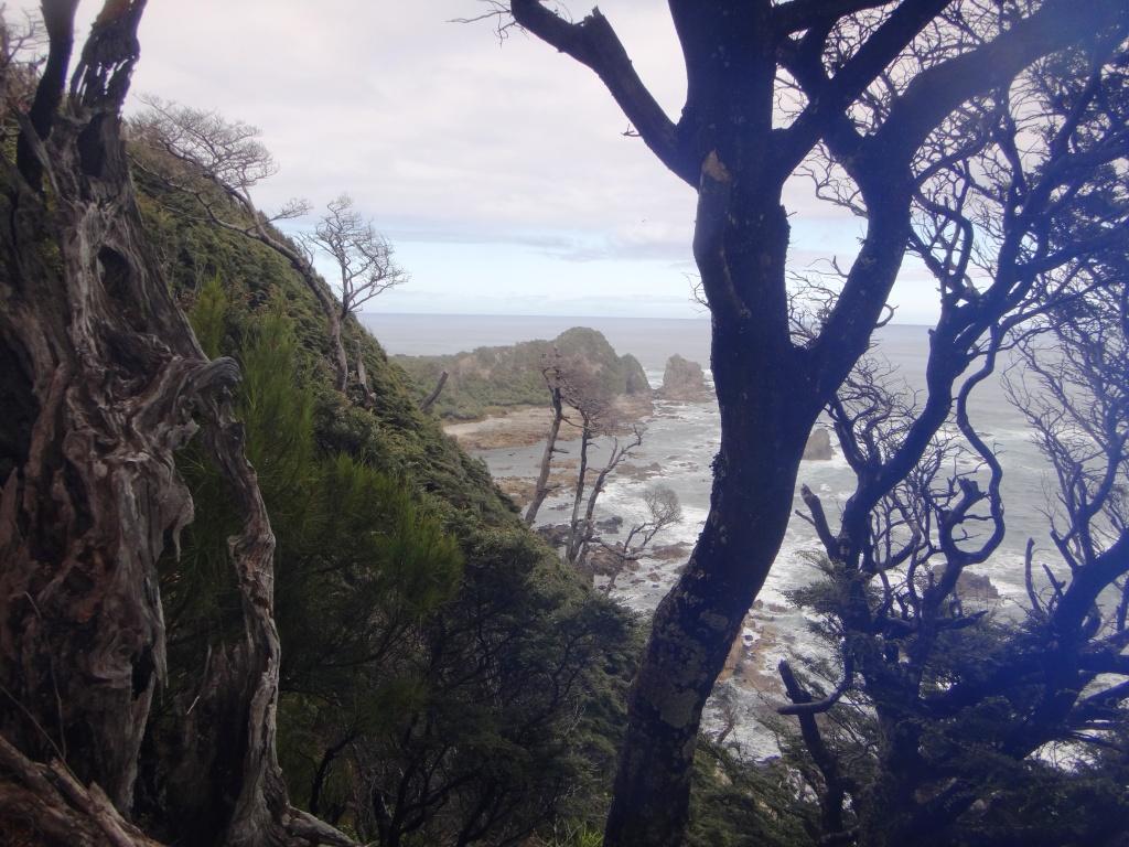
Some interesting views on the way back though.
As we climbed back down to the hut I leaned out to take this snap and dropped one of my hiking poles. It caught in a bush below. It was too steep to climb down for it. I tried to capture it with a fishing line but failed. The rest of the trip was completed with a bush pole as a walking stick. Worked very well fortunately.
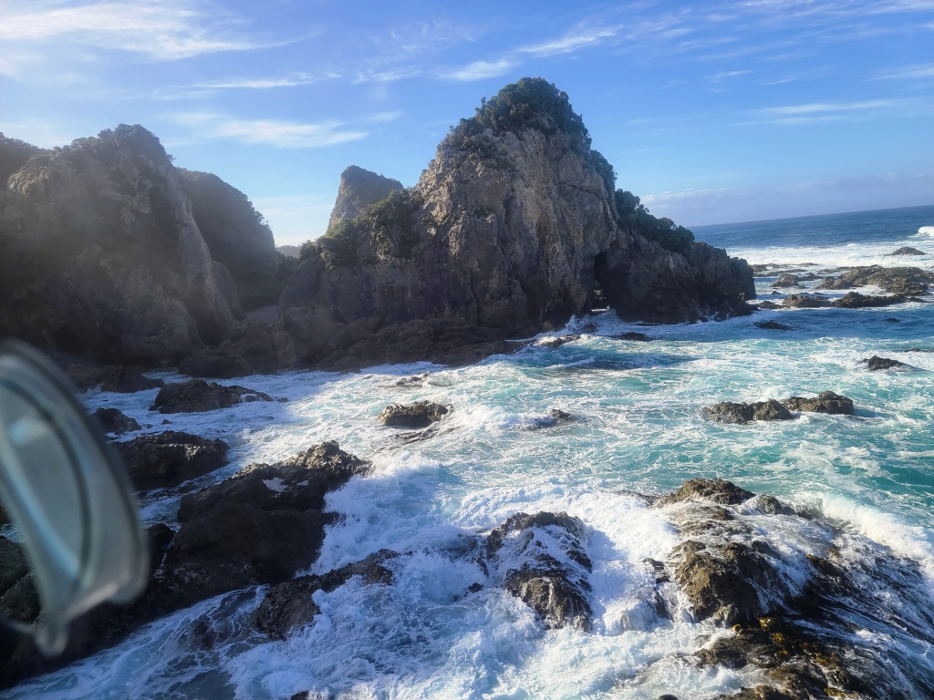
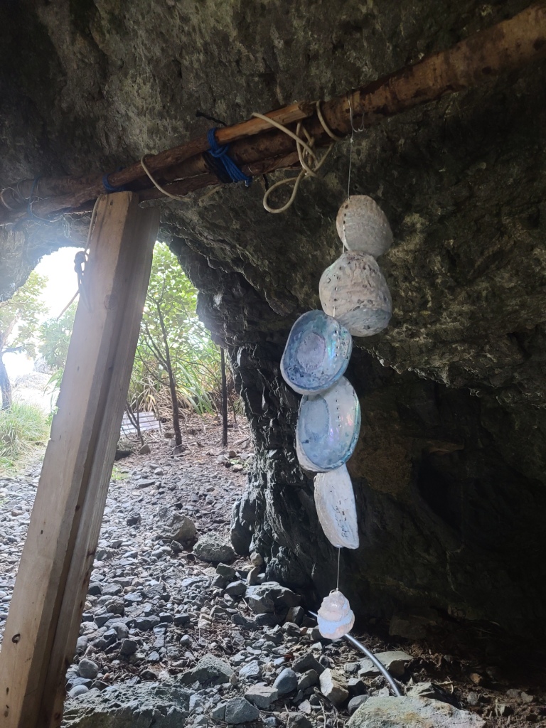
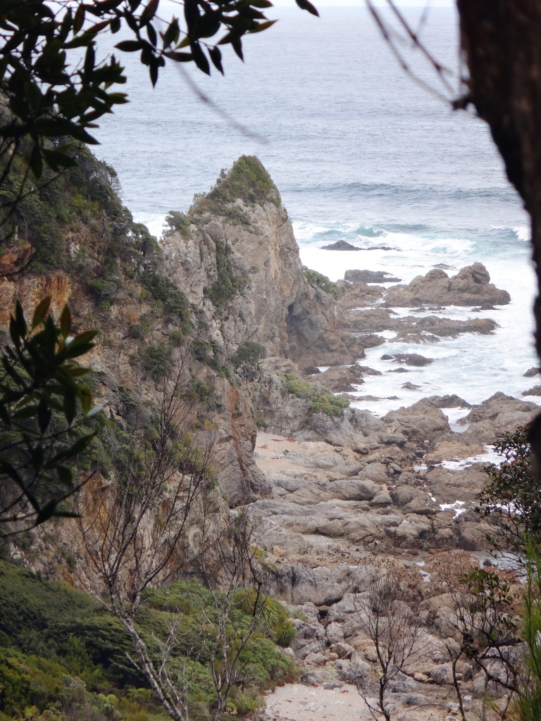
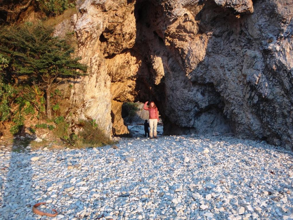
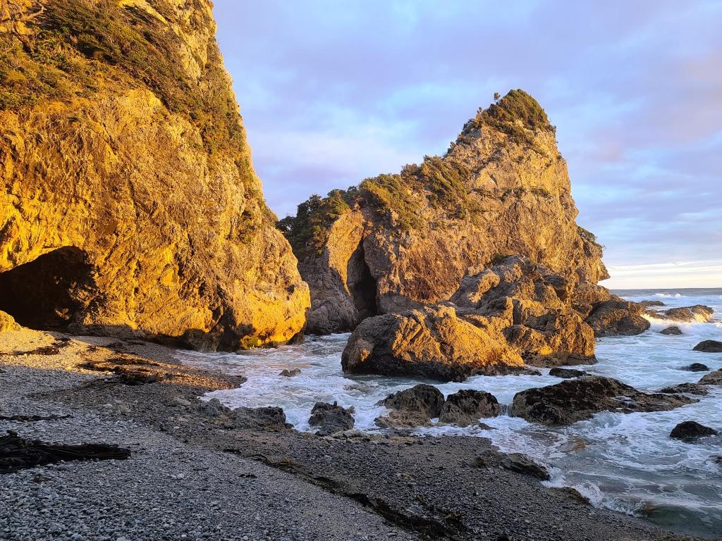
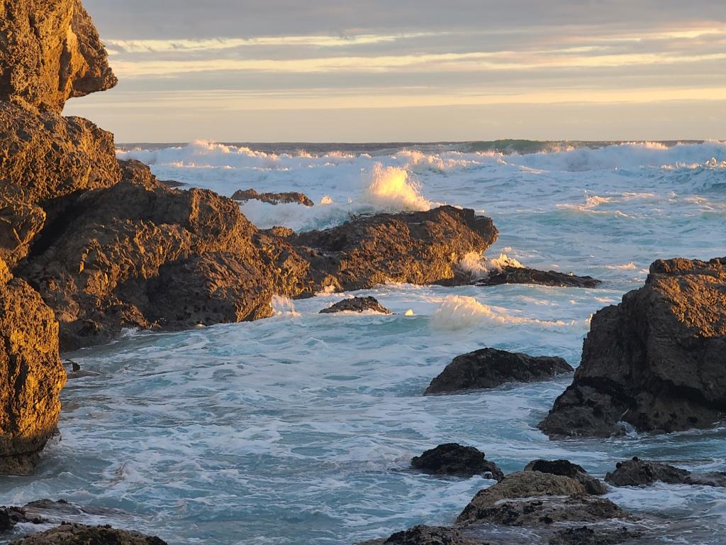
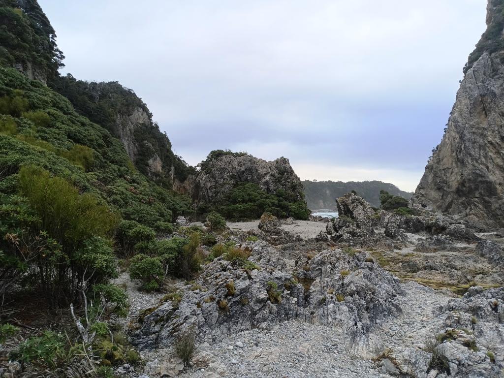
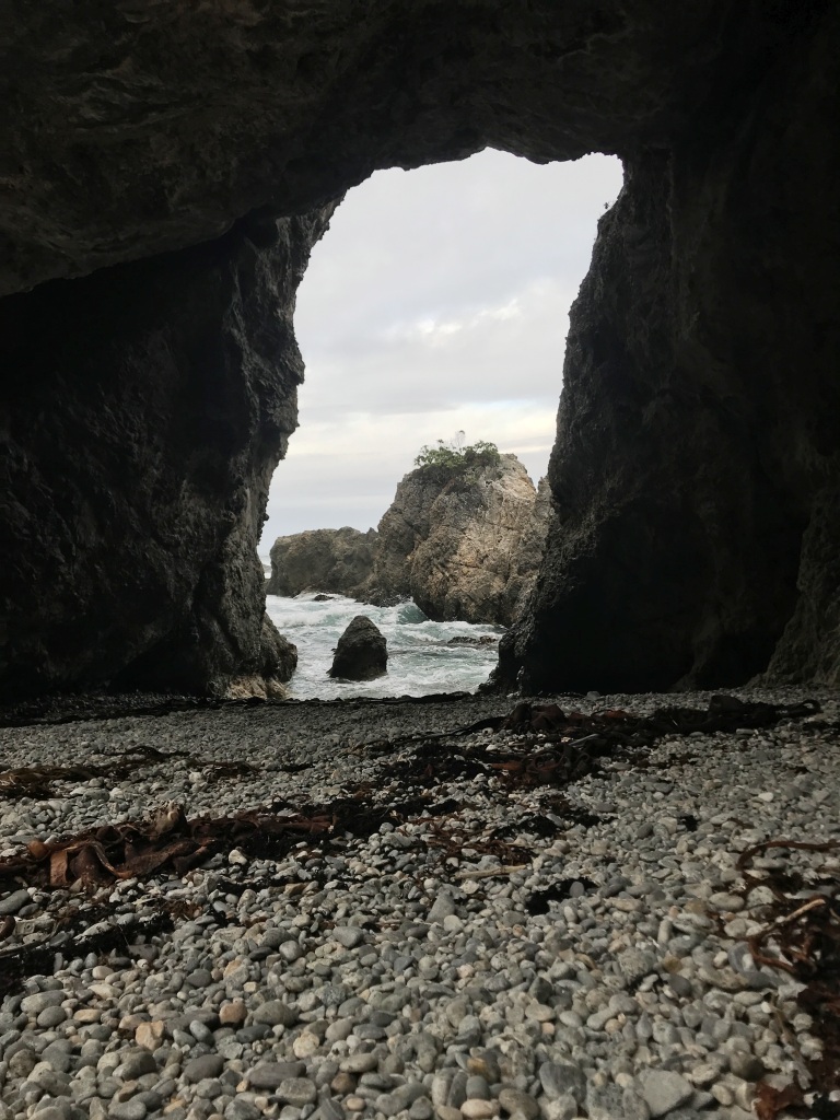
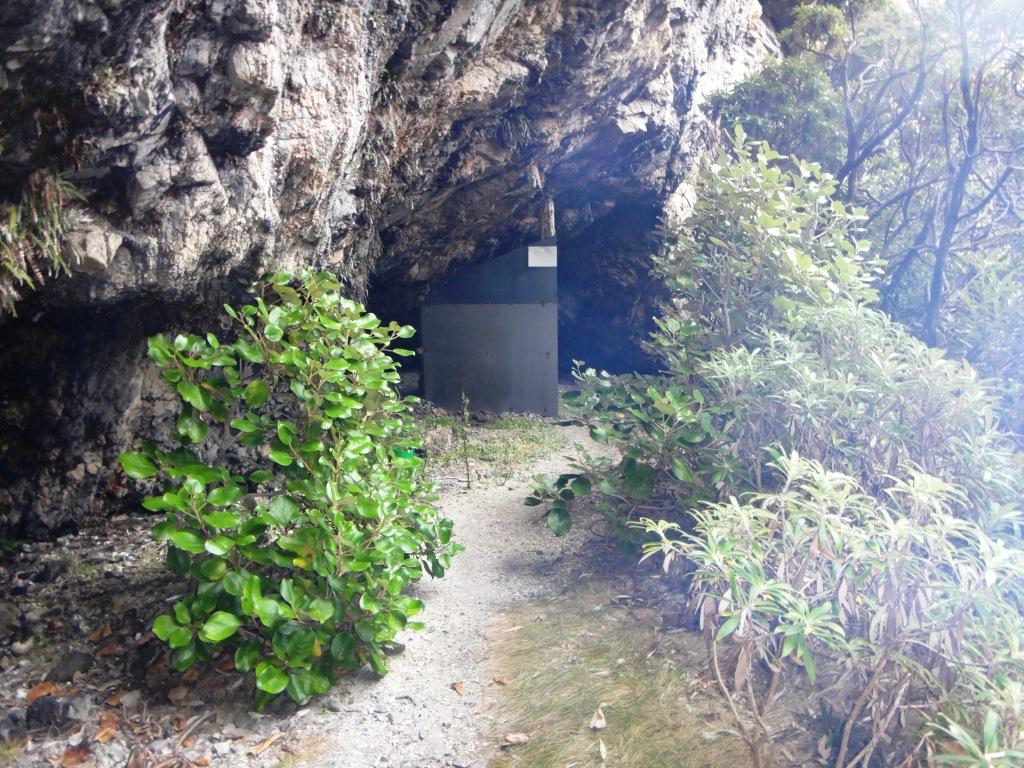
There is a series of caves which you can travel through to et another beach. The view to the West.
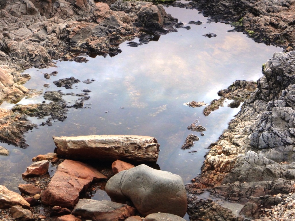
This is the first one opening to the east. Further long (about 300 metres) there is a small waterfall where fresh water can be obtained if the hut plumbing happens t be on the blink.
We arrived back to witness a spectacular sunset. A large erd deer stag had walked just where the heli landed while were were gone.
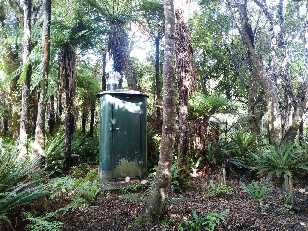
A privacy screen has grown up around the toilet since we were there in 2016.
You can even have a hot shower.
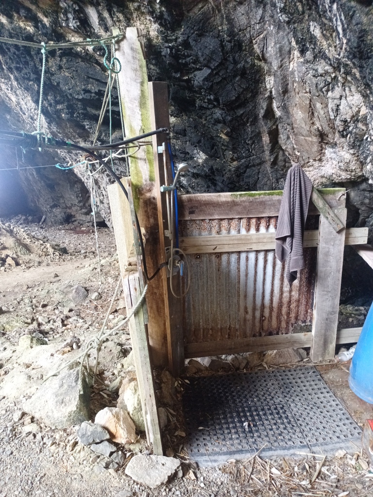
From a chip heater.
Inside the main hut.
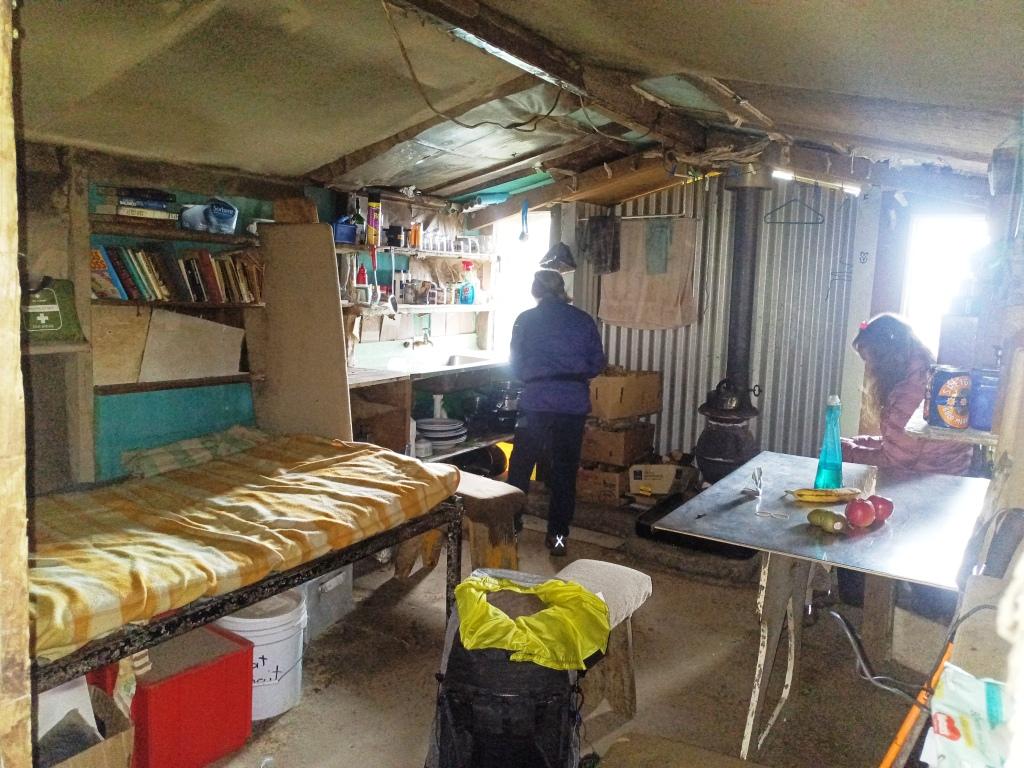
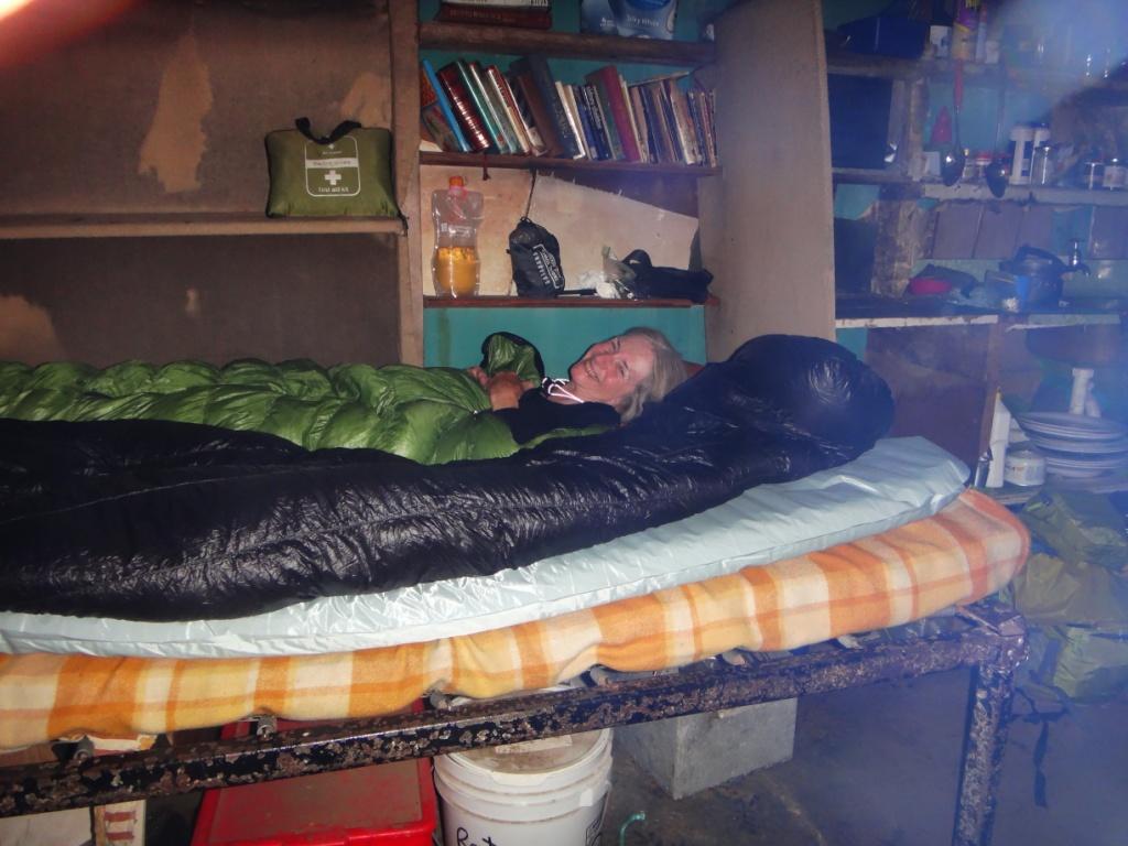
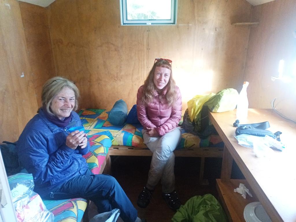
Della and I managed to sleep on the main 3/4 bed.
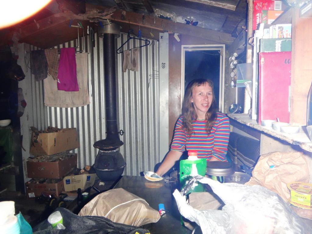
While Irralee managed to fit on the bench on her side of the table.
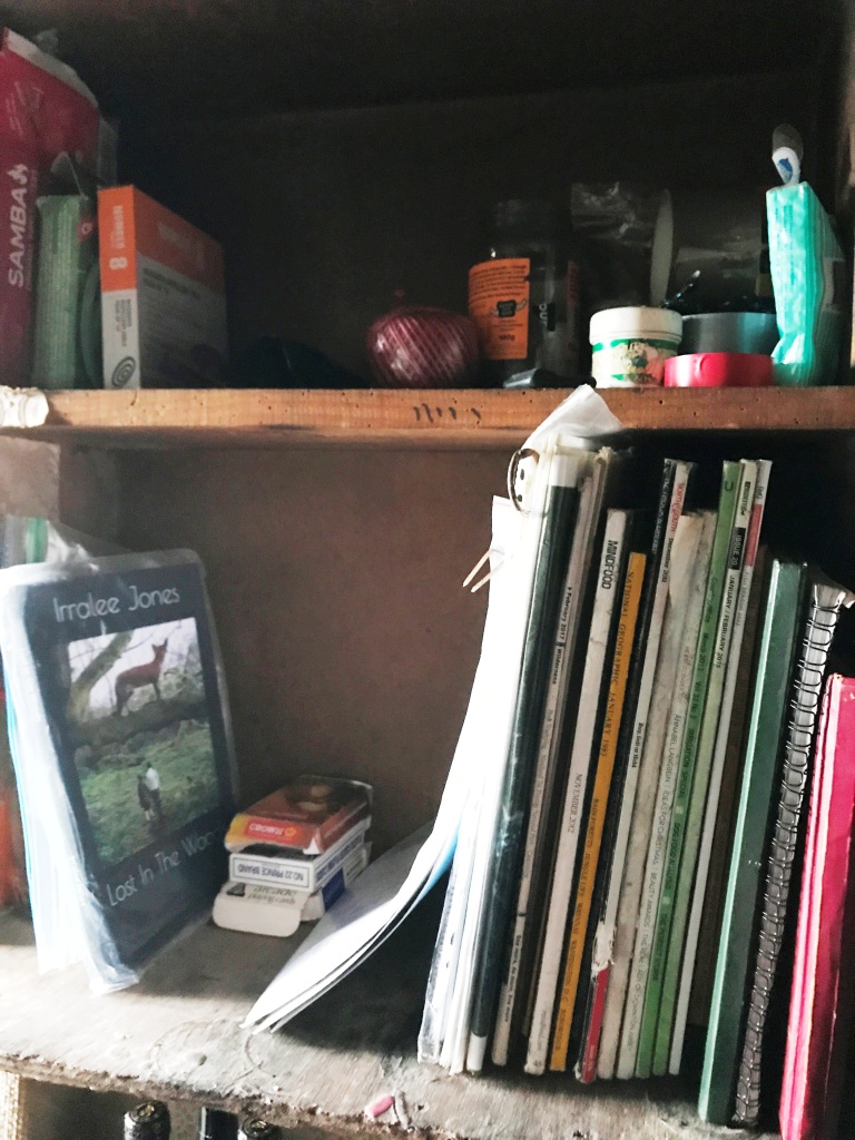
‘Lost in the Woods’ – which we weren’t. Irralee left a volume of her poetry there for other hikers to enjoy.
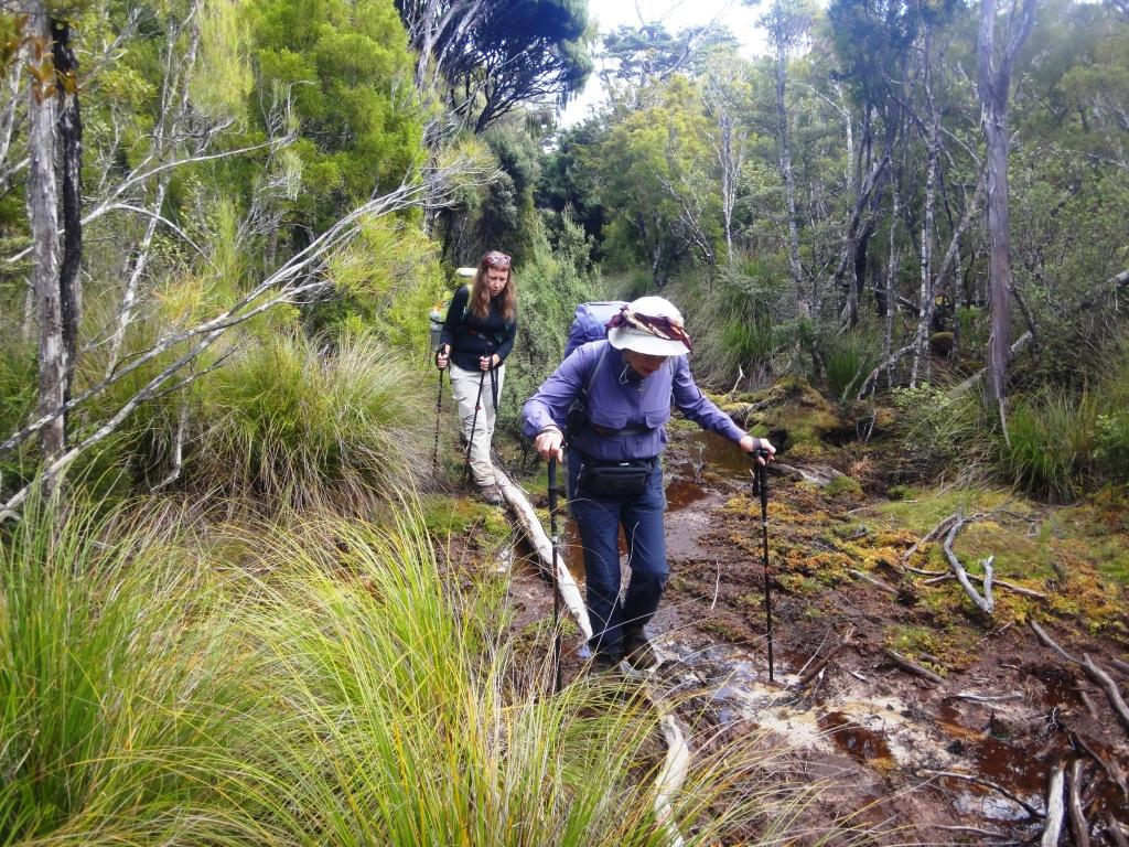
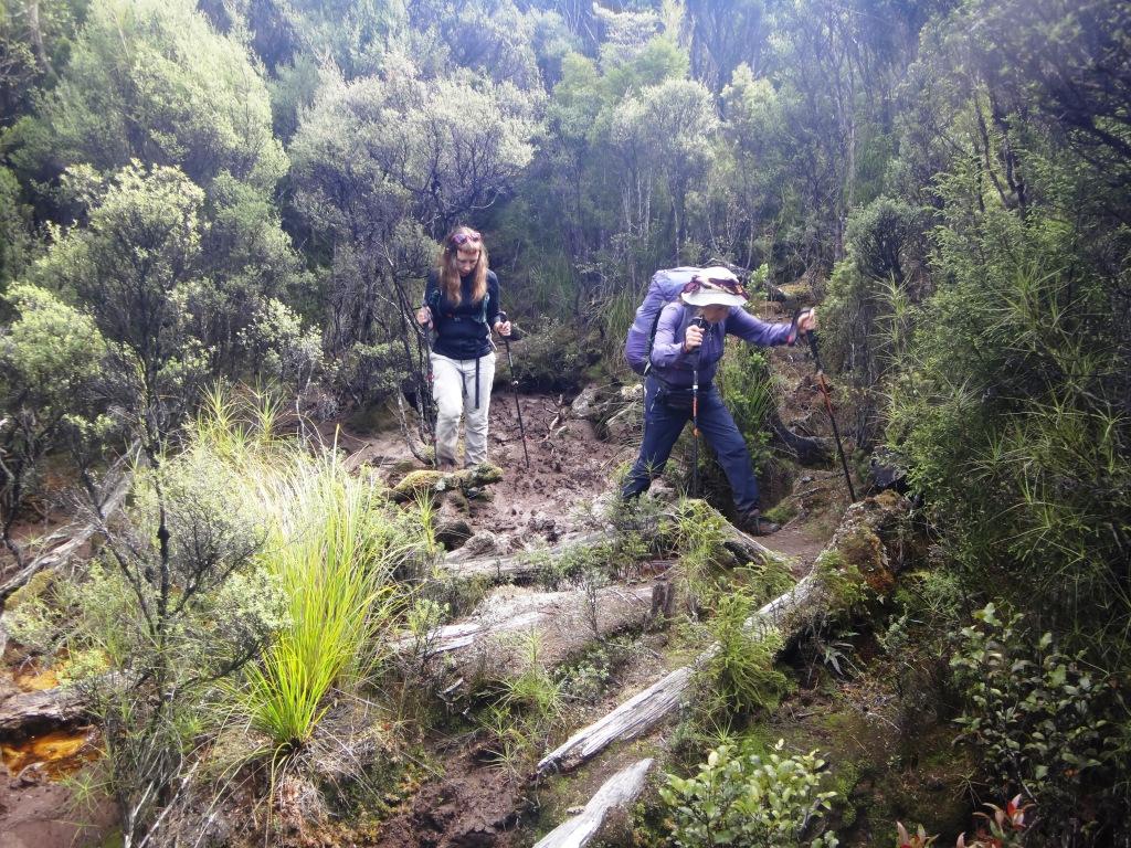
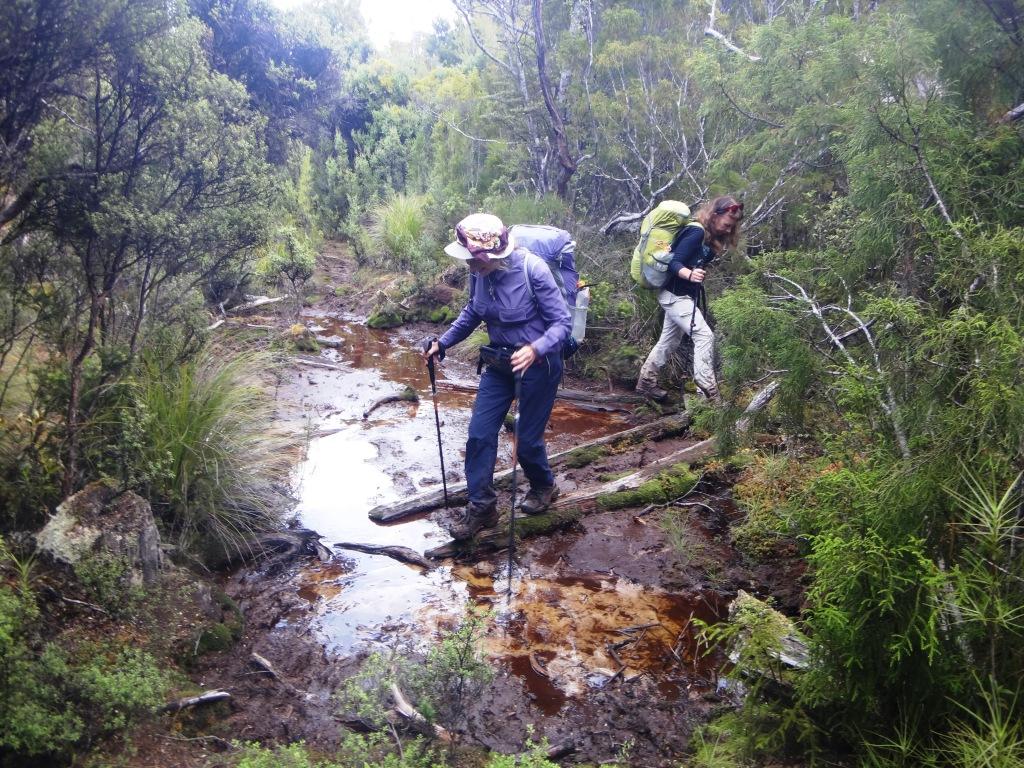
We Had though we might stay another night at Westies but if we had we would have missed one (at least) of the tides which would allow us to walk along he beach eg from the Aan River (maybe) to the Waitutu and from the Angus Burn (maybe) to the Wairaurahiuri and from Port Craig to Blowholes Beach. As we had made such slow going of our brief walk out towards Big River we decided we might need the short-cuts the beach might provide so (with heavy hearts) next day we pressed on to the Grant Burn. The hut is inland just after the first burn you cross (from the beach – or just before it if you are going the other way) just past the old deer pens. You will no doubt find markers (floats etc) which will lead you to it.
Saying farewell to Westies and Price’s Harbour.
The bosun’s chair which marked the burn to the West of the Aan River which I think you could easily walk to/from. Indeed I think you could walk all the way out/back to Westies at low tide.
A lunch stop for us.
Aan River. We walked down near the river which became difficult going. As I remember now last time we walked about 100 metres to the east which was much easier.

Looking west.
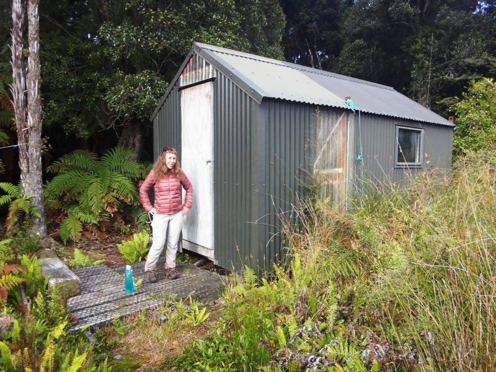
Grant Burn Hut. Two bunks but very warm. One of us had to sleep on the floor.
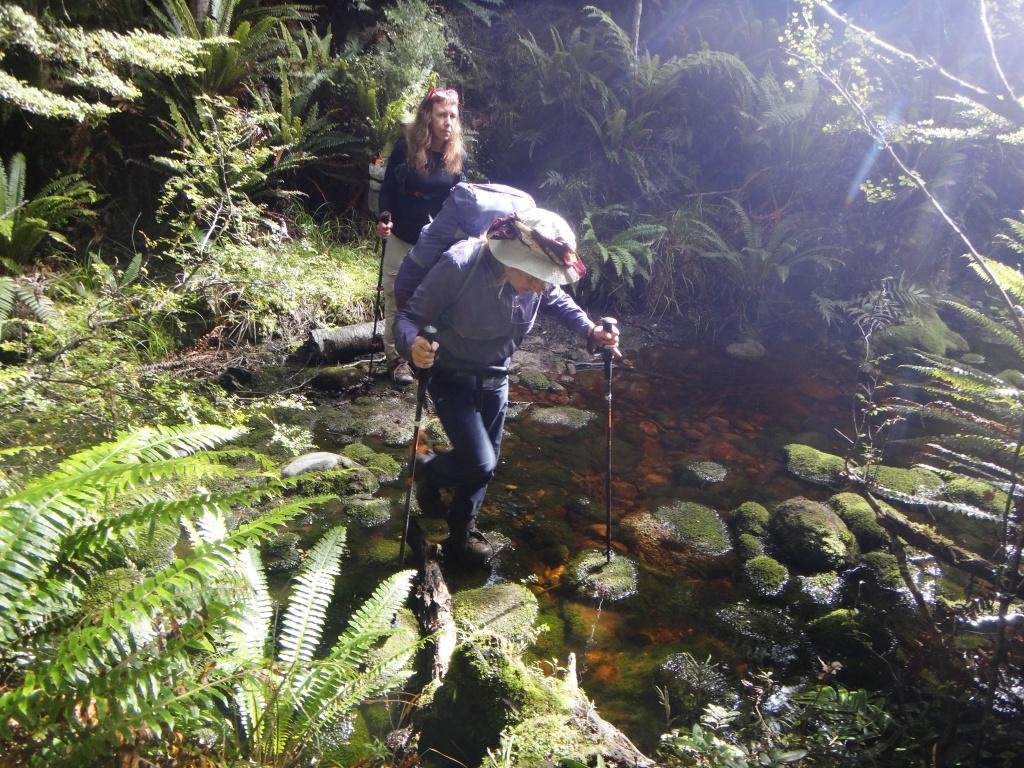
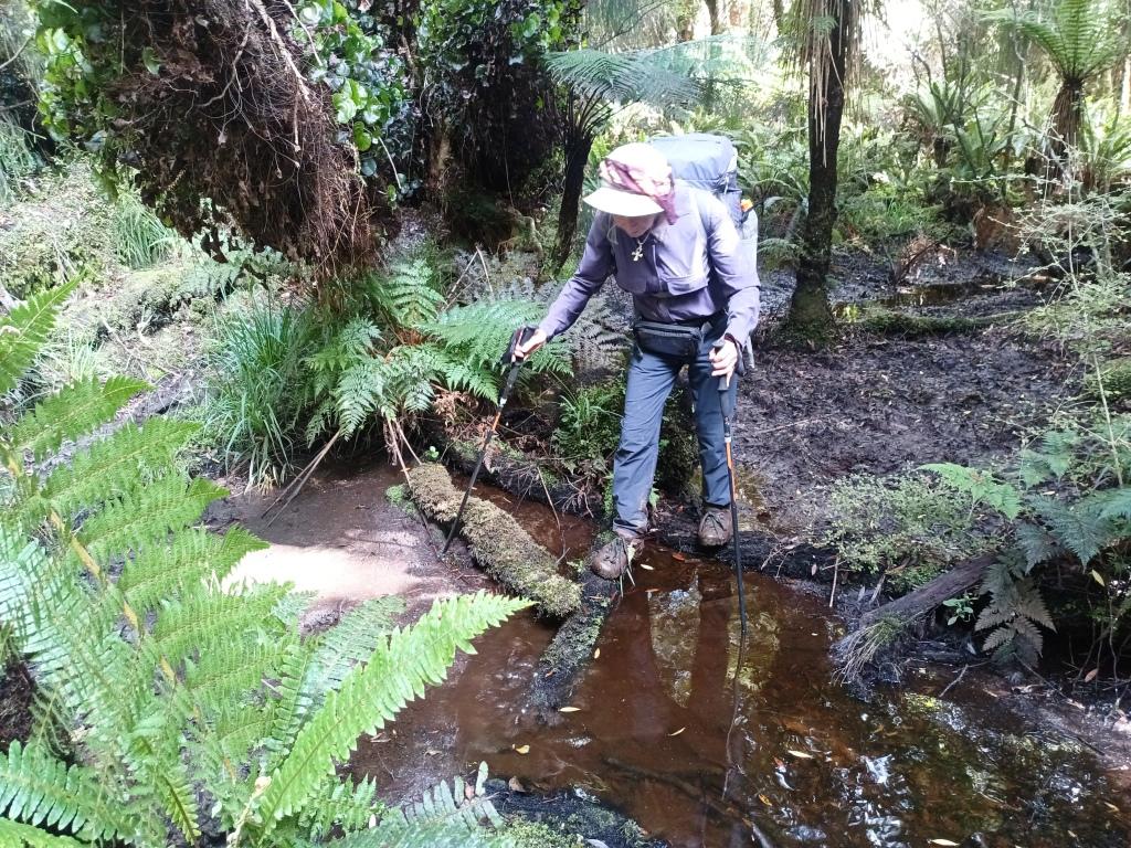
The crossing of the unnamed burn to the West of the Grant Burn was better than it was last time
Crossing the Grant Burn
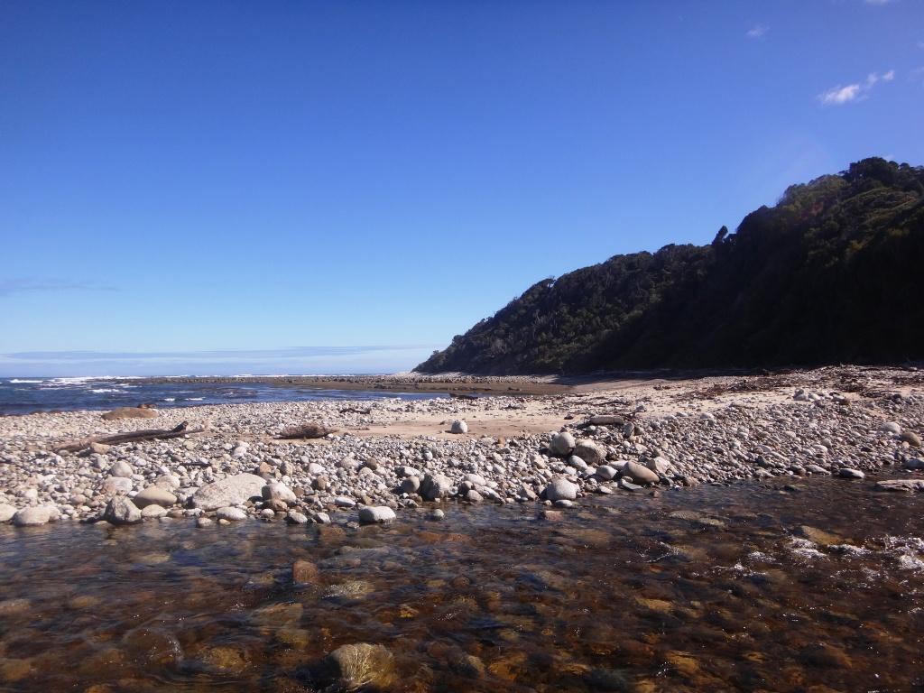
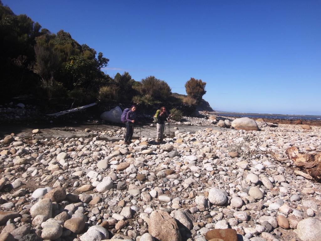
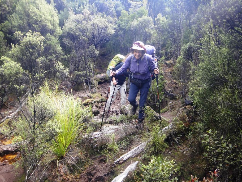
Between Westies and the Waitutu River last time we managed to stay at the Grant Burn Hut (a two-bunk a DOC workers’ facility which is open to others when they aren’t there). From the hut book we learned they seem to only use it for about one week in August and another in late February. We hoped to stay there again, thus splitting the walk back to the Waitutu River roughly in half (say four hours max each leg). My pedometer had Westies to Grant Burn at 16,000 steps) and 14,000 from there to the Waitutu.
We managed to do this too by walking the section from the Grant Burn to the Aan River at low tide which is an easy, safe walk at a low-ish tide. I suspect you can start walking from the next unnamed burn west of the Aan River which is about an hour’s walk (by track) farther on than it. There was a Bosun’s chair hanging in a tree there last time we were there which suggested this. I hoped to spot how easy it is to get off (and on) the beach there this time but did not manage to do so. Folks were keen to just push on.
This particular parallel track section (ie from that burn to the Aan River ) is the best on the track (roughly an hour) so it probably doesn’t save a lot of time/effort anyway. I did speak to someone who has done it but it was thirty years ago so I can’t vouch for it. He actually walked all the way out to Pusguyers on the coast. If you have done it recently I would appreciate an update. Apart from the Grant Burn Hut there is another hut you can stay in on the way, but as DOC doesn’t know about it (and have a reputation for removing ‘unwanted’ huts) please message me if you want to know where it is. I can’t attest to its condition as I didn’t stop there this time but the helicopter pilot had been in it recently.
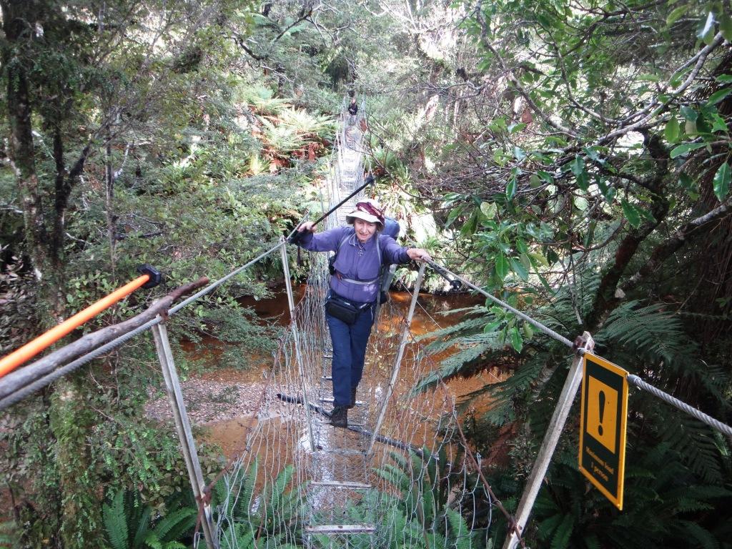
There is a second walkwire across a small burn after the Grant Burn.
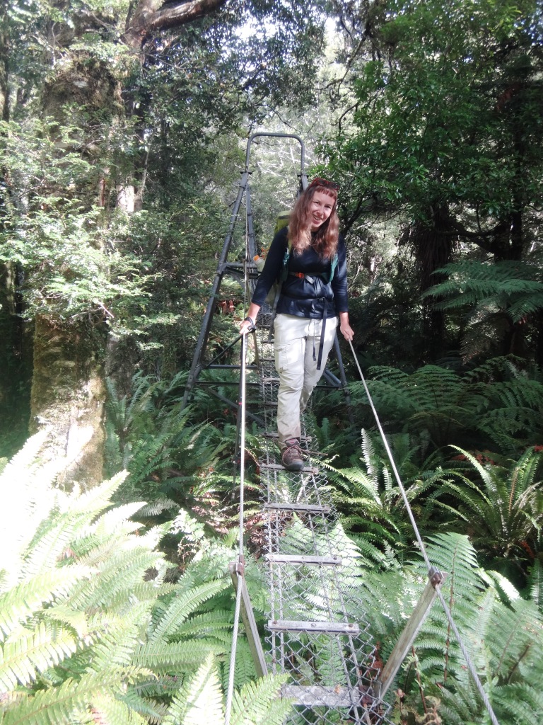
This one.
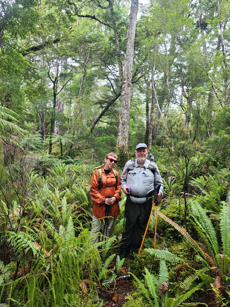
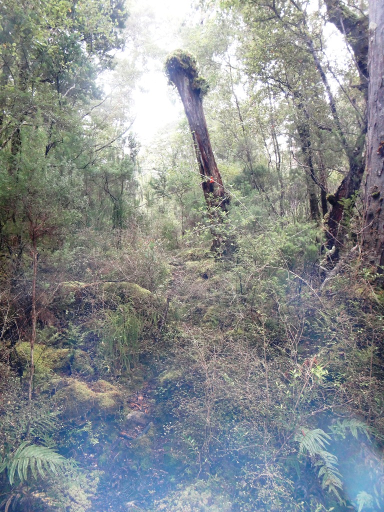
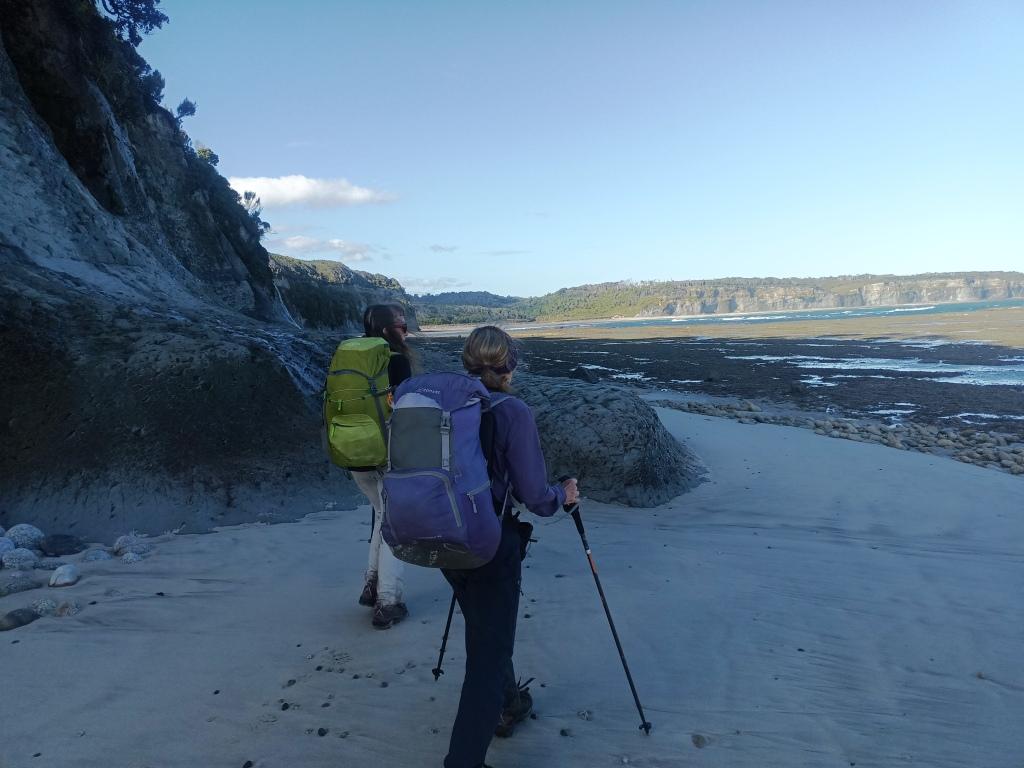
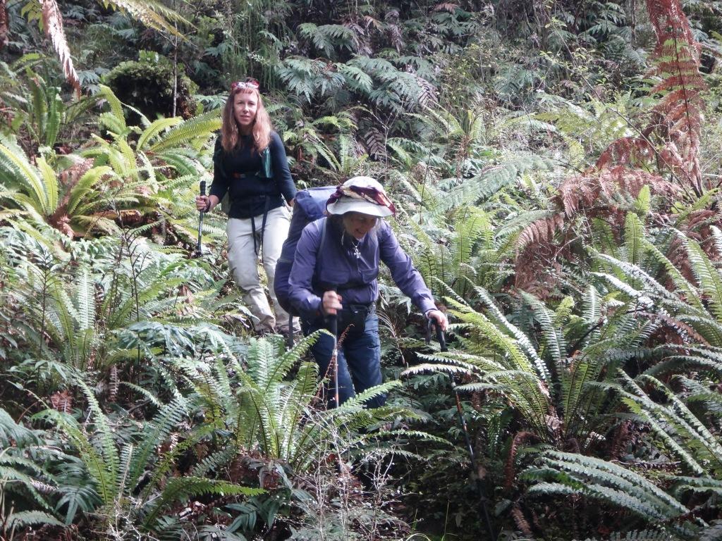
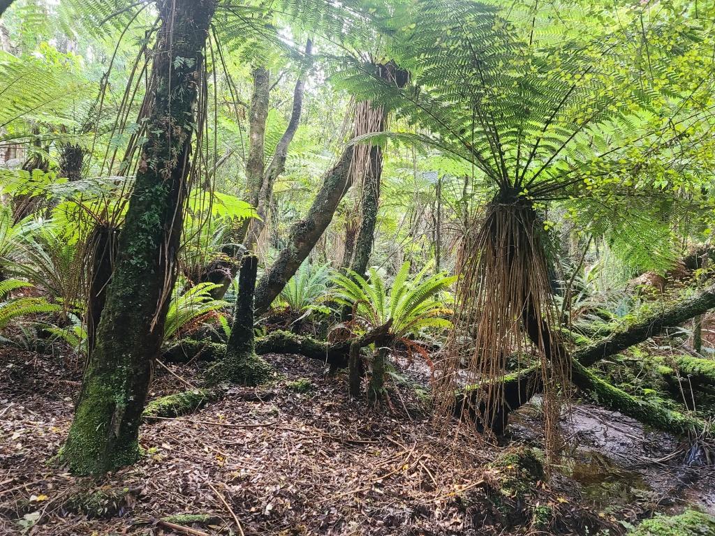
Mostly from the Waitutu to Westies the track is quite wide.
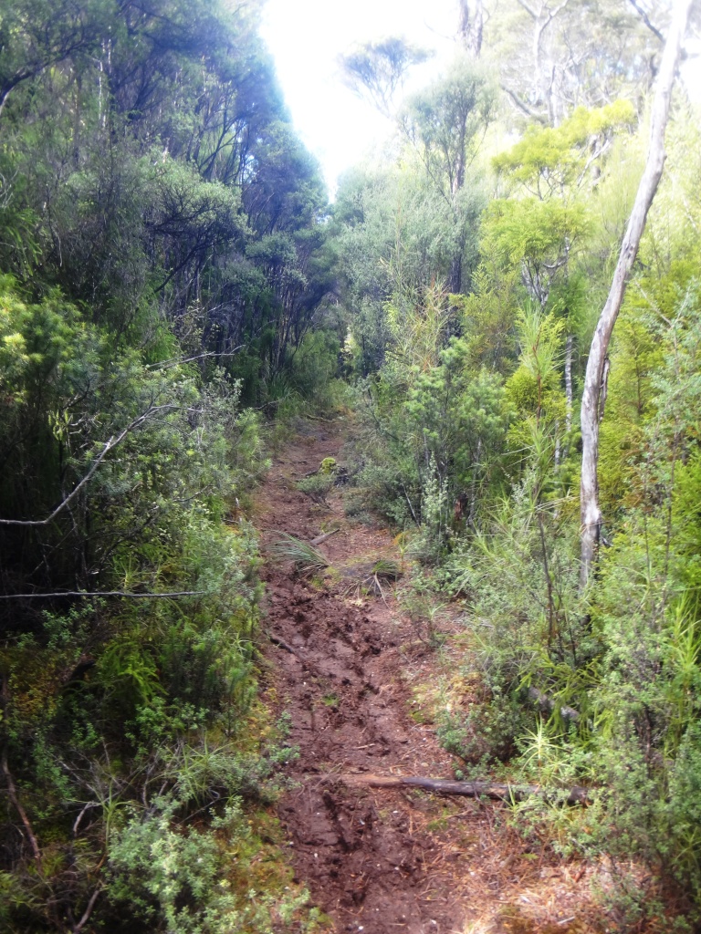
With few muddy sections.
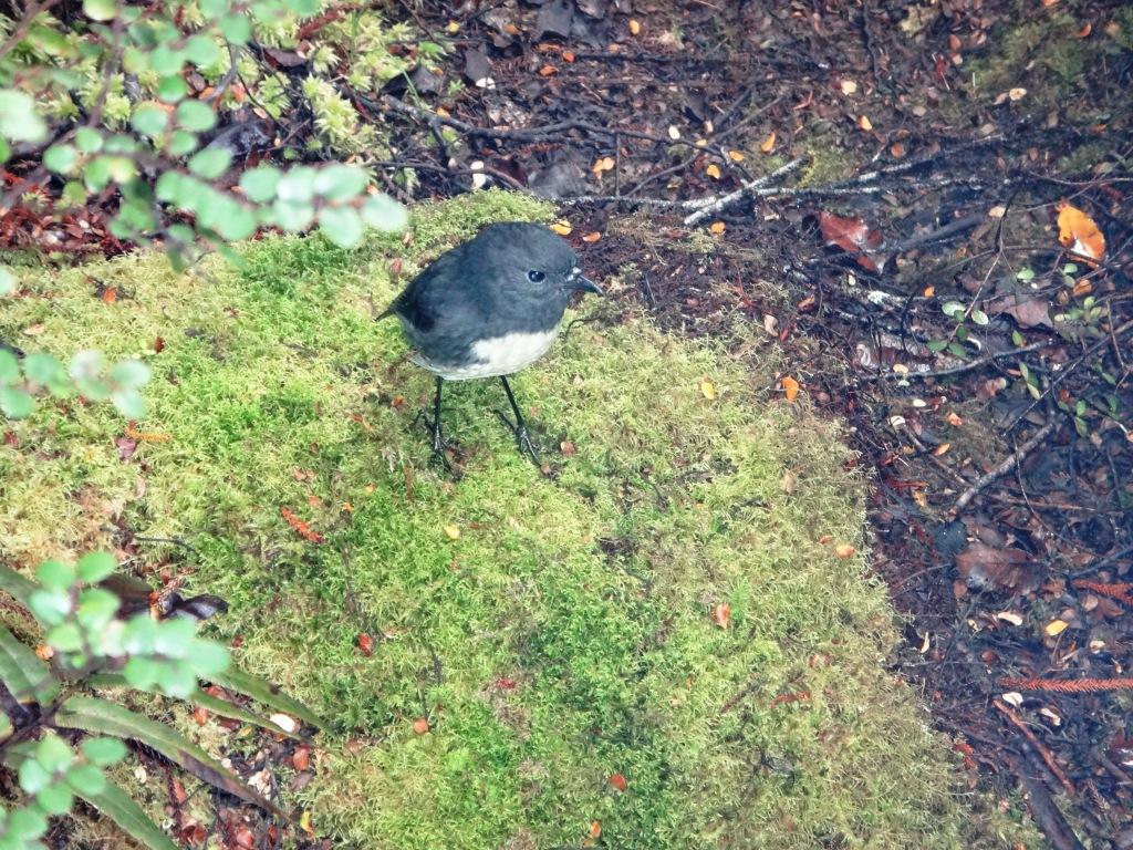
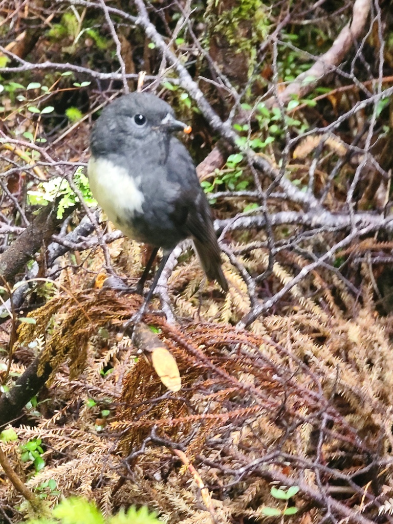
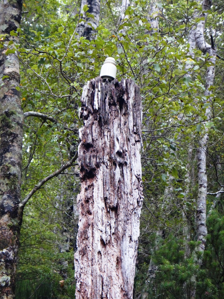
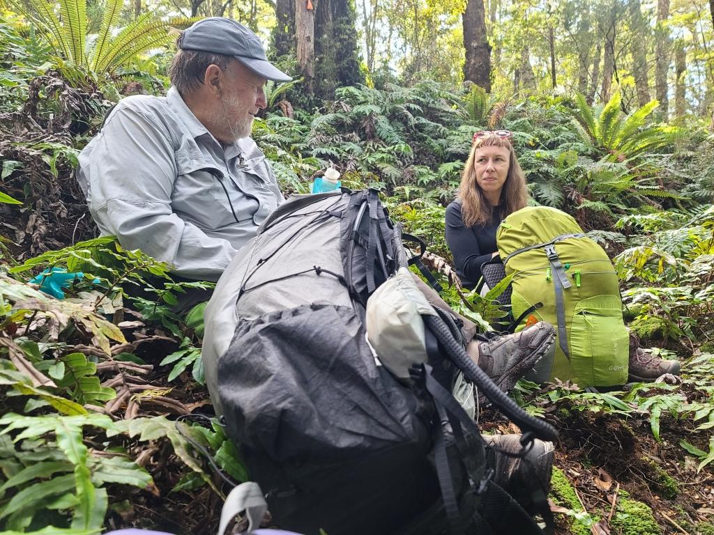
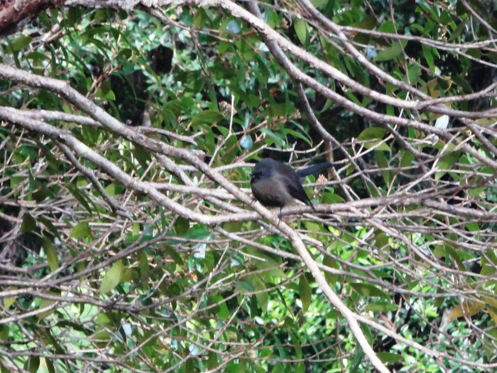
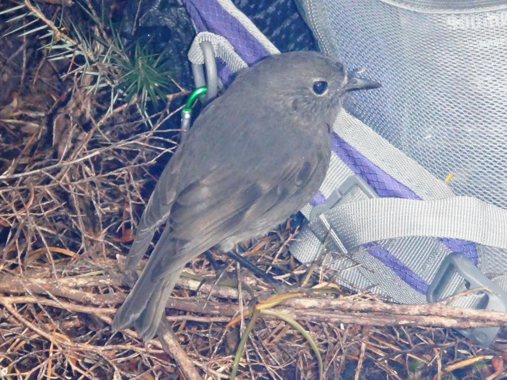
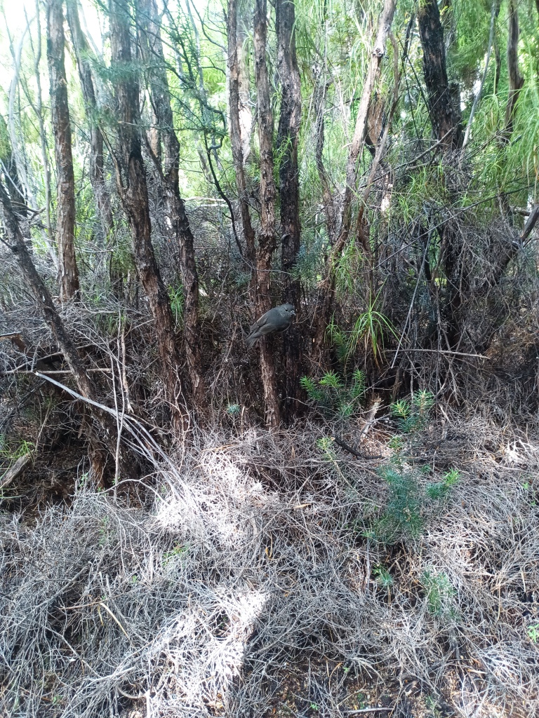
Lunchtime visitor.
The last kilometre of the track (before the hut) was overgrown and should be avoided by walking along the beach (anytime).
And suddenly we were at the Waitutu Hut where we stayed the night.
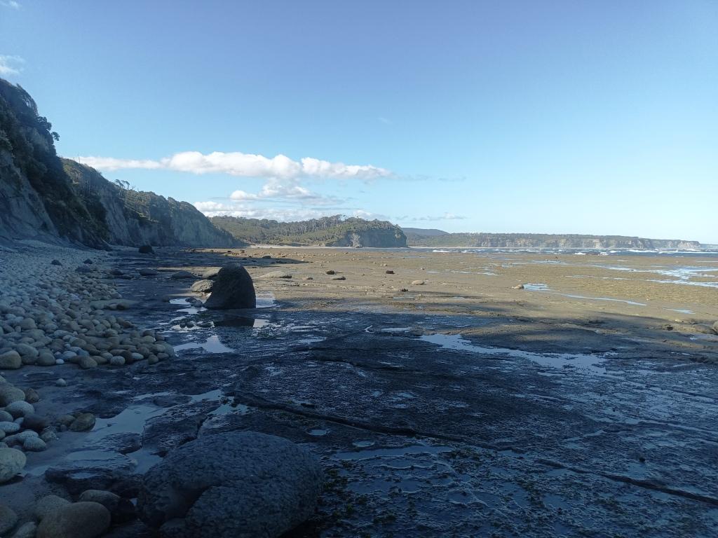
We tried to walk the beach section between the Grant Burn and the Waitutu but encountered a rock shelf (about an hour after the Grant Burn) that was not made for people over seventy. I know other (younger) people have walked this section though but I cannot recommend it from personal experience. As you get within a kilometre of the Waitutu Hut though there is a nasty swampy section of track which is poorly marked and maintained. You can/should drop down onto the beach where it is close to the track there and avoid this last kilometre. The map makes where to do this quite clear.
From the Waitutu River to the Wairaurahiuri we had decided to shorten the day by first staying in the (interim) Long Point Hut (which we wanted to see anyway) and then walking either along the beach from the Angus Burn (which is doable at low tide) or to drop down a marked route from the West side of the Crombie, cross it at is mouth (we have done this before) and either walking along the beach back to the Waitutu Lodge (doable at low tide) or along a well-marked and maintained cliffside walk from the east bank of the Crombie back to the Lodge.
It should not have taken more than 2 hours (for us) to walk (along the beach from the Angus Burn or etc) back to the Lodge. It should have been less than 20,000 steps from the Long Point Hut to the Waitutu Lodge by this route. A reasonably easy day. Some people claim to have walked all the way from Long Point to the Waitutu Lodge along the beach.
The satellite photos looked as if this was impossible but we were able to observe the low tide there so it may well be doable. Somehow you would have to get down to the small creek to the east of the hut. No clear path was obvious. There must be a way down though as other folks said (in the hut book) they had been fishing and/or had collected paua there. Della would not let me attempt a cliff descent anyway.
The weather came in very wet during our night in the Waitutu Hut so that what should have been an easy, pleasant journey out to Long Point was very wet and muddy (thus slower) with many very flooded creeks to cross. My pedometer recorded it as 20,000 steps. The detour to Long Point only saved us about 1 1/2 hours compared to walking direct from the Waitutu. You will no doubt be quicker, but staying at Long Point does shorten the journey somewhat – and it is one of the more remarkable places anyway and should not be avoided. The cliffside views there are quite spectacular. There is also clearly good deer hunting thereabouts (grassy flats).
As it turned out the tide was not right for us to walk from the Angus Burn. I wanted to wait for a couple of hours for it to go out a bit. We should have done so. The track through the Crombie was very wet, slow and unpleasant. The reason we pressed on was that we had been assured that the marked route down the West side of the Crombie to its mouth was in good condition when in reality it was (then) non-existent. It has since then been marked and cleared (by Ian Laurenson c/- Waitutu Lodge) and would save you hours!
There is now even a second marked and cleared path/route from the east side of the Crombie to the coastal track, but there wasn’t on the day we were there. We had just to continue along the South Coast Track until we met the marked (float balls) and cleared track on the west side of the (second) gully (ie Tiny’s Creek) which flows down to the Waitutu Lodge. This meant that we had a day of 28,000 (of my) steps instead of probably way less than 20,000.
When you walk down from the Angus Burn to the beach I think it will be easier (and shorter) to walk down the ridge between the two burns on the west side (until a path is cleared). It is only about fifty metres. Of course this will mean you have to cross the burn at its mouth which might be difficult in wet weather. I have suggested that the Waitutu Corp mark and clear a route/path on the east side of the Angus Burn (to obviate traveling between their two facilities ie the Lodge and the Long Point Hut) . That would be the ideal location for such a route. I will update this if I learn that work has been carried out.
The Long Point Hut needs some urgent repairs too. (like a new roof). It has a couple of leaks already. They are now also aware of this. Only small number of parties (less than half a dozen) a year have been using this excellent facility but in my opinion everyone who walks the South Coast Track should go there. I would also like to have seen the lighthouse there up close. A track/route down through the bush to the Point would be great and there must be magnificent views from along the clifftops.
When we reached the Angus Burn (3 hours for us – perhaps half that for you) we would have had to wait three hours for low tide (and we were not sure of being able to walk along to the Crombie etc (then – but have since learned you can), Della decided we should push on as if we found we couldn’t we would certainly be having to spend a night in the bush. Also we had been told that the path that Pete (last time) led us from the Crombie Mouth up the West side to the South Coast Track was well-marked, It wasn’t – but it is now, half by me and half by Ian.
We arrived where this marked track was supposed to be after another two hours and spent an hour beating about in the bush before deciding to push on. If we had walked down to the Crombie there we would have been at the Lodge in an hour (or probably an hour and a half from the Angus Burn). Now we know. After the Crombie Stream we saw another marked track heading down towards the beach (to the deer pens as it turned out) which would still have saved us and hour) but as we did not know we continued on to Tiny’s Stream Track (marked by some floats from where it was only fifteen minutes to the lodge, But we had walked 28,000 steps, at least twice as long on our feet as we had anticipated. Providing that it is low tide you will not have to do that. Whether it is low tide or not you will be able to cut down to the Crombie Stream now and save a couple of hours of very wet going.
We stayed two nights at the quite wonderful Waitutu Lodge (at the mouth of the Wairaurahiri River) recuperating and enjoying ourselves as we have done several times before. It costs $80 a night (now) but they have heating, hot showers, comfy beds etc – motel stye accommodation and in a beautiful garden setting. They also have internet. We had left a heap of food (and wine for Della) there on the way out.
Leaving there we intended to have just a short day walking through to the Percy Burn Hut which we had been assured was open and available. About 18,000 steps away. As it turned out this information was wrong too. It was locked. However you can pre-book it through the Hump Ridge Track people for (I believe) about $40 a night though (had we known). We could have stayed on their (open) verandah but chose to push on the next 14,000 steps to Port Craig school house. Another long day which we had sought to avoid.
We stayed a second night at Port Craig to rest up. The Hump Ridge people will come over from their lodge and make sure you have paid (now $25 a night – instead of the normal $5 – for a so-called serviced hut – with no supplied wood. Phooey. This is such a disincentive for young people to walk the wonderful South Coast Track). They can operate their credit card machine (there is mobile phone service) from the window of the hut. It is a delightful place to explore anyway – and we met two lovely people there Miriam and Alan, (the only ones we met on the entire walk) who shouted us a meal of fresh paua (abalone) which they caught off the rocks.
We chose to carry tarps and hammocks in case we wanted/needed to spend a night out. As I had managed to walk from Port Craig to Rarakau back in 2014 (along Te Wawau Beach) in 5 1/2 hours (This time it took us 8 hours.) Age will do that to you too. I thought we would be able to do this final section in a day or might break it near the Track Burn by sleeping on the verandah of one of the two huts there.
I still think we should have. There were hunters in the Track Burn Hut but no-one in the next hut on the corner. It is a very long section though (over 40,000 of my steps) and though we completed it in a day, it was very hard going for us so that we were quite tired by the time we reached our car. It seemed like a long drive then back to our hotel in Te Anau. The quite delightful Tauatapere Hotel is alas, now closed. Joyce from the the Wairaurahiri Jet Boat almost certainly knows who owns these huts and might know whether you could book them. She walks out there all the time re-setting the stoat traps.
We did find the old track down to Te Wawau beach about an hour out from Port Craig. It is between the 83rd and 84th stoat trap. You can still see the small old bridge on the old track about ten meters from the new track. It is otherwise a little overgrown but quite walkable. Feel free to clear it with that brush hook. The walk along the beach at low tide saved me an hour in 2014 (more now). It needs to be done at low tide as the tide comes in quite close in a final rocky section at Breakneck Creek Bridge where the cliff has fallen away a bit requiring a bit of a scramble at the end. You will see what I mean walking out.
Attempt this at low tide or on a falling tide, not on a rising tide. You do not want to get caught up against cliffs at high tide! This applies to all beach walking, though there are places you could climb up into the forest if you were injudicious or unlucky.
It is a great pity that the Hump Ridge Track people have pretty much ‘taken over’ the section of the track from before the Edwin Burn to more or less Rarakau as they have ruined it awfully. This should not have been allowed or been supported by the government. It has also led to the rest of the track being very nearly neglected so that ferny growth makes going difficult in places. The section which is particularly ruined is part of the old tramway which has now been cleared on both sides of all trees (which previously used to arch over and completely enclose it so that it was like walking through a wondrous green tunnel. There is still a section like this back towards the Wairaurahiruri which probably they will not be changing as it is off their track. They have also deposited (presumably by helicoper) a metre-wide gravel path along the centre of the railway line which is very hard on the knees, ankles and hips – unlike the usual beautiful soft muddy or mossy condition of the rest of the track. It has been a great track for a century but they have dug it up and ruined it in a year.
Another interesting alternative route (either coming/going) is to head up to the Slaughter Burn Hut (the turn-off is about a kilometre on the Waitutu River side of the the Long Point turn-off). The route is well marked with coloured triangles. You can carry on from there to the Lake Potiriteri Hit and thence to the Teal Bay Hut on Lake Hauroko from which you can drop back down the Hump Ridge to near Blowholes Beach.
Finding your way:
The NZ Topo5 App is good – but comes at a small cost. Their satellite view is an excellent feature.
I downloaded the maps from Linz and saved them on my phone. Opened them with either Avenza or Paper Maps Apps. Worked well.
Tides: Plan to walk along the beach before low tide ie from about half-tide (three hours before) to maybe an hour after. You don’t want to be trapped by a rising tide. Time your hike to coincide with the tides. Coal Island is a good analog for Westies and Port Craig (obviously) I met a guy who had walked all the way out to Pusguyers along the coast (thirty years ago). I imagine you would have to be young and fit and cut across some headlands to do so. Be careful. See the post Westies Hut to Cromarty and especially this video
See Also:
Read More:
Slow Walking NZ’s South Coast Track
Long Point Hut Fiordland A Hidden Gem
South Coast Track Wairaurahiri to Waitutu
South Coast Track Waitutu to Westies
South Coast Track Wairaurahiri to Rarakau
South Coast Track Westies Hut to Cromarty
http://www.theultralighthiker.com/dusky-south-coast-tracks/
http://www.theultralighthiker.com/fiordland-2014-2/
http://www.theultralighthiker.com/a-walk-in-fiordland/
http://www.theultralighthiker.com/bucket-list-westies-hut/
http://www.theultralighthiker.com/fiordland-wairaurahiri-to-rarakau/
http://www.theultralighthiker.com/fiordland-wairaurahiri-to-waitutu-part-4/
http://www.theultralighthiker.com/westies-hut-topo-map-errors/
http://www.theultralighthiker.com/waitutu-forest-fiordland-warm-air-pockets/