
This is a beautiful easy section comprising widely varying vegetation and topography, the spectacular ‘Mushroom Rocks’, the ruin of the Talbot Peak hut, Mt St Phillack, the highest point on the Baw Baws, and a delightful camp at Phillack Saddle. Side trips can be taken to Mt St Gwinear and Baw Baw Alpine Village.
It is about 20 minutes walk from the car park (toilets, water, scenic side-trip) to the Mushroom Rocks where there is scout hut accommodation if you have arranged it. It is another hour to Talbot Peak hut site (each way). From there it is about 2.5 hours to the St Gwinear turn-off and about another half hour to the Phillack Saddle and and the Baw Baw turn-off and a further 1-1.5 hours to the Baw Baw Village. Say about 5.5 hours from the car park to the Village each way. You can stay at the village, even have a meal, so you could do this walk overnight with just day packs.

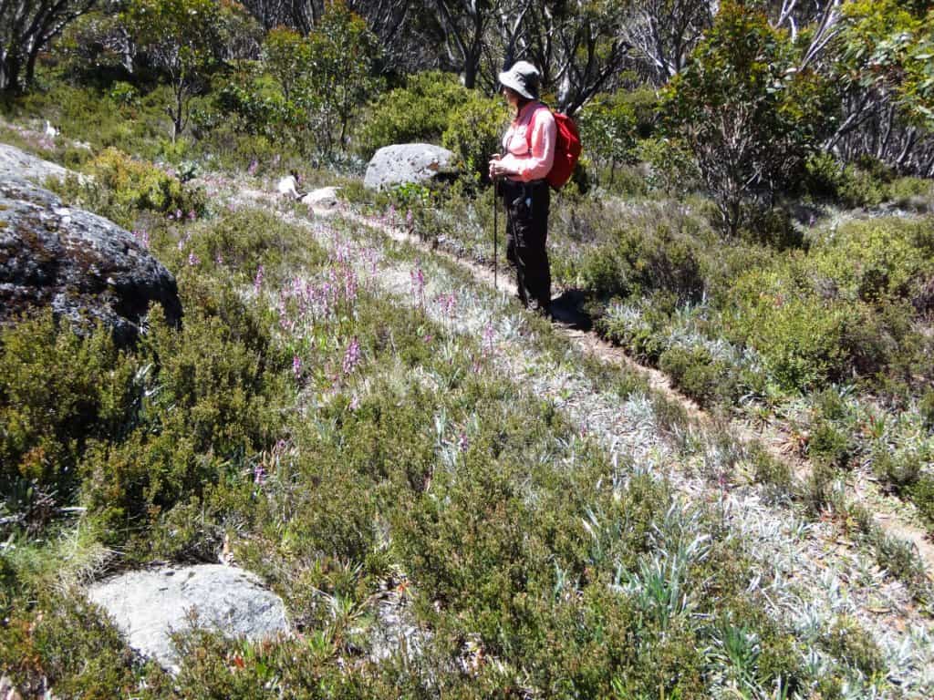
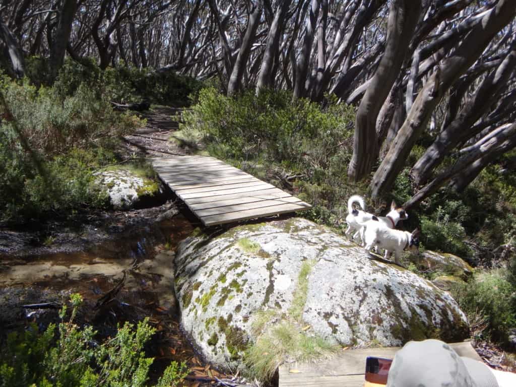
Some parts of the track are even board-walked. You won’t get your shoes dirty as far as Mushroom Rocks at least.
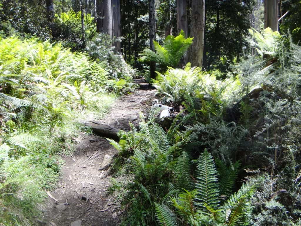
Lots of lovely smells to interest the dogs who wondered which generation (of dogs) was this all being ‘saved’ for. Well, this one apparently!


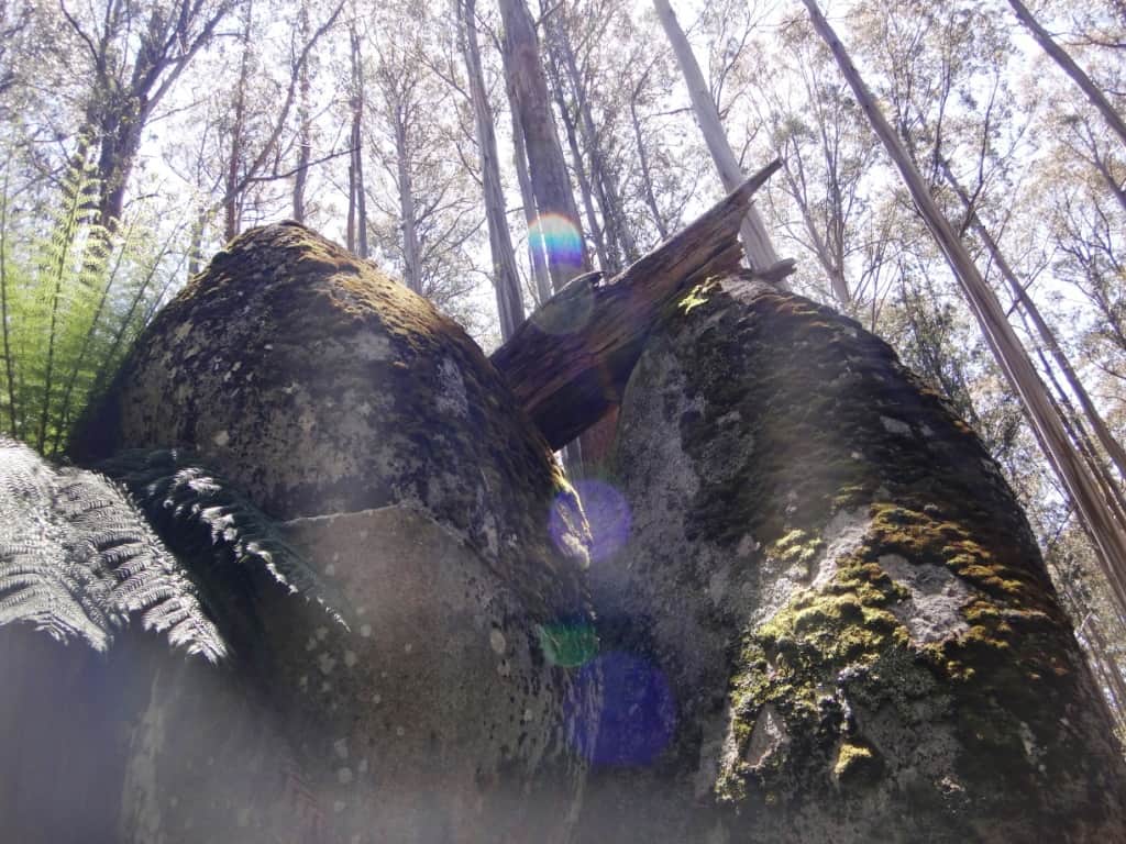
The Mushroom Rocks loom before you…

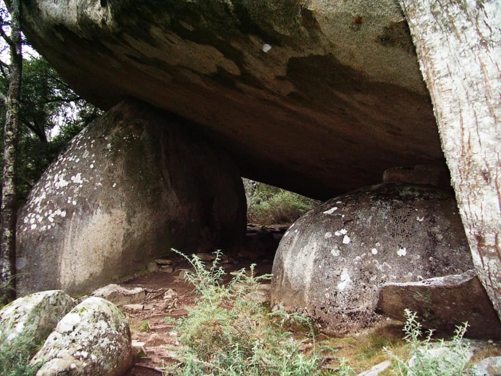
Mushroom Rocks shelter, There is another (one person) at the St Gwinear turn-off.
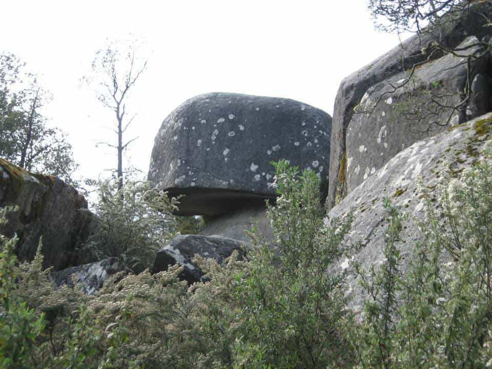
You can see why they are named ‘mushroom rocks’.
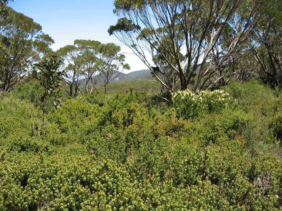
These alpine meadows are delightful.


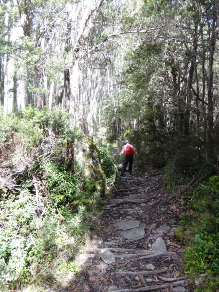
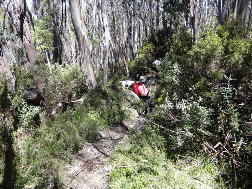
There is a small steepish section.
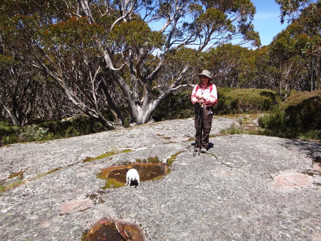
Water often collects in hollows in rocks or weeps out from underneath them. Tiny slakes her thirst.
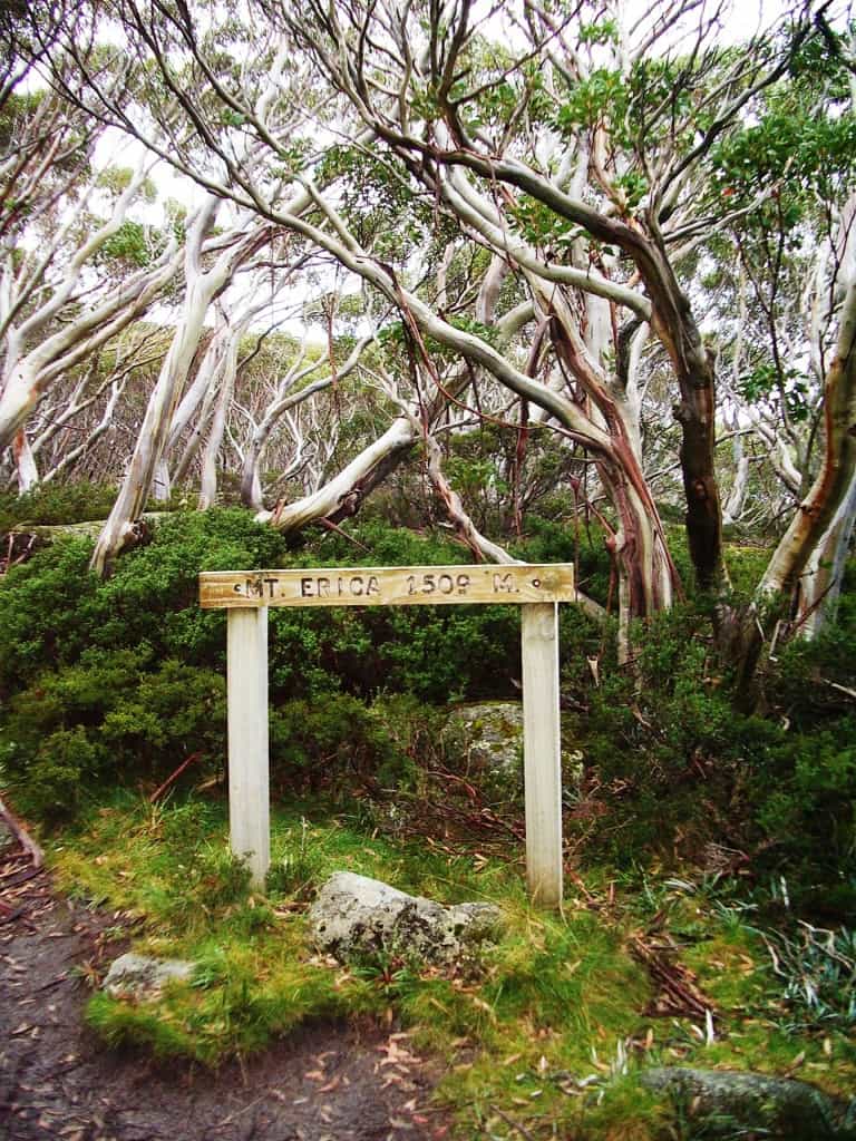
Mt Erica summit.
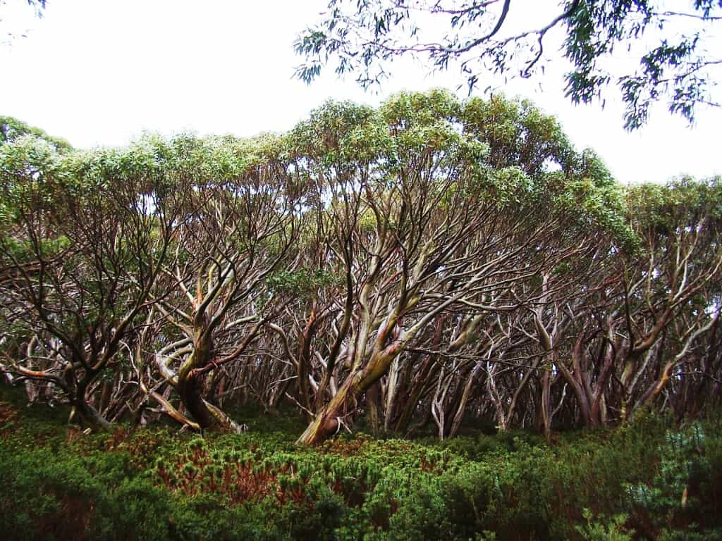
Suddenly you break out into an entirely different landscape.
The dogs were as puzzled as we were by where the stream at Talbot Peak was flowing from!
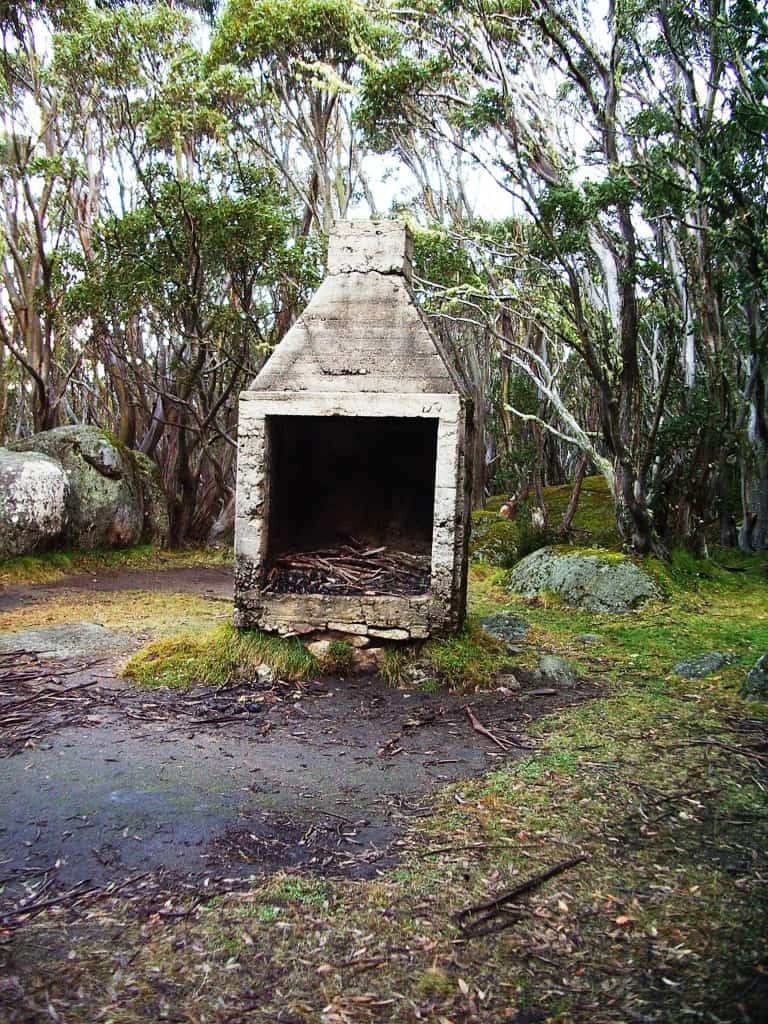
Remains of the old Talbot Peak hut, quite a pleasant campsite with a delightful mountain stream nearby.
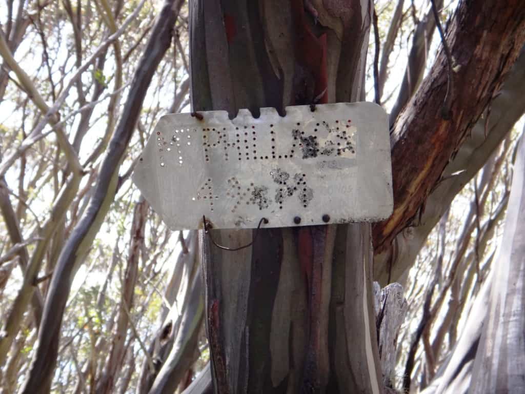
An old sign at Talbot Peak still in miles! Signage used to be better in the past – usually reflective so you could even find your way in the dark as well you might need to in an area which can be beset by blizzard conditions at any time of the year!


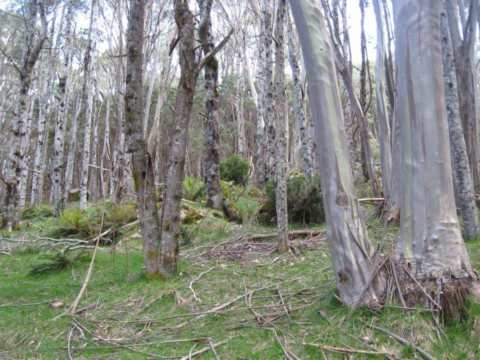
The plateau is easy walking. Surprisingly flat, in fact.

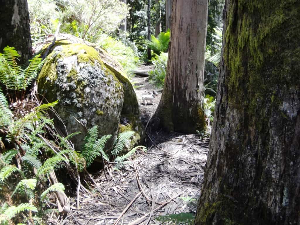
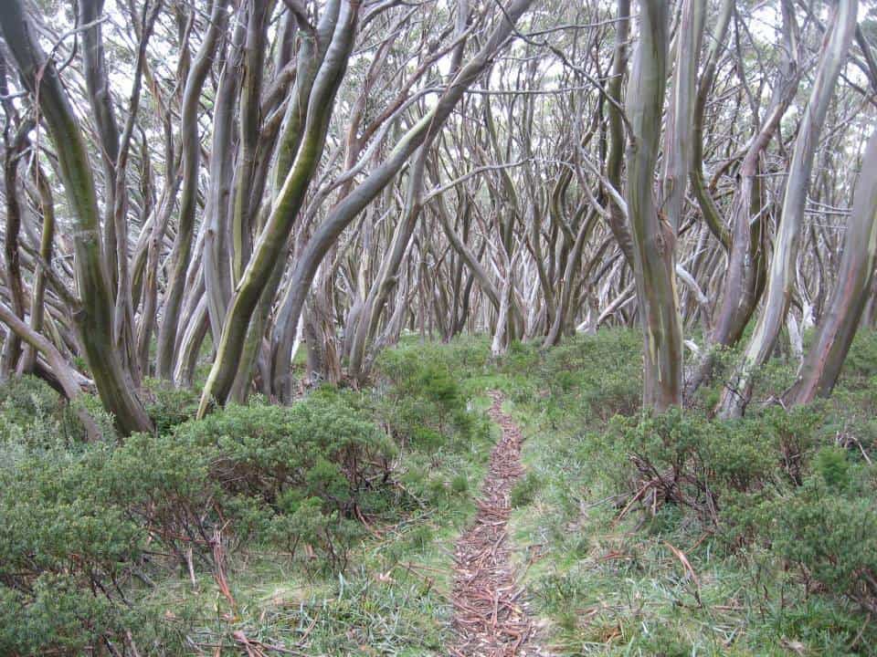
The path is wide and well maintained. Many places two can walk abreast.

Here and there are small clearings inviting solitary camps if you have thought to carry enough water from the last supply.
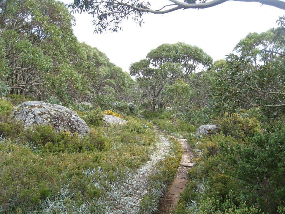
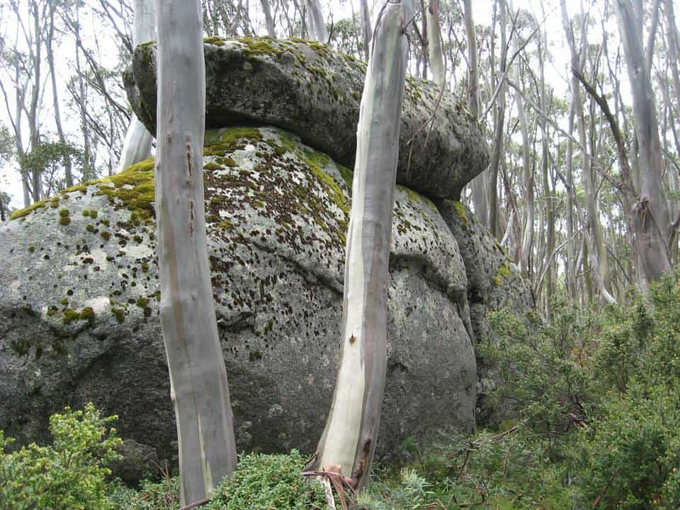
Huge granite boulders are common all over the plateau. It would not have been so pleasant on the day they were falling from the sky!

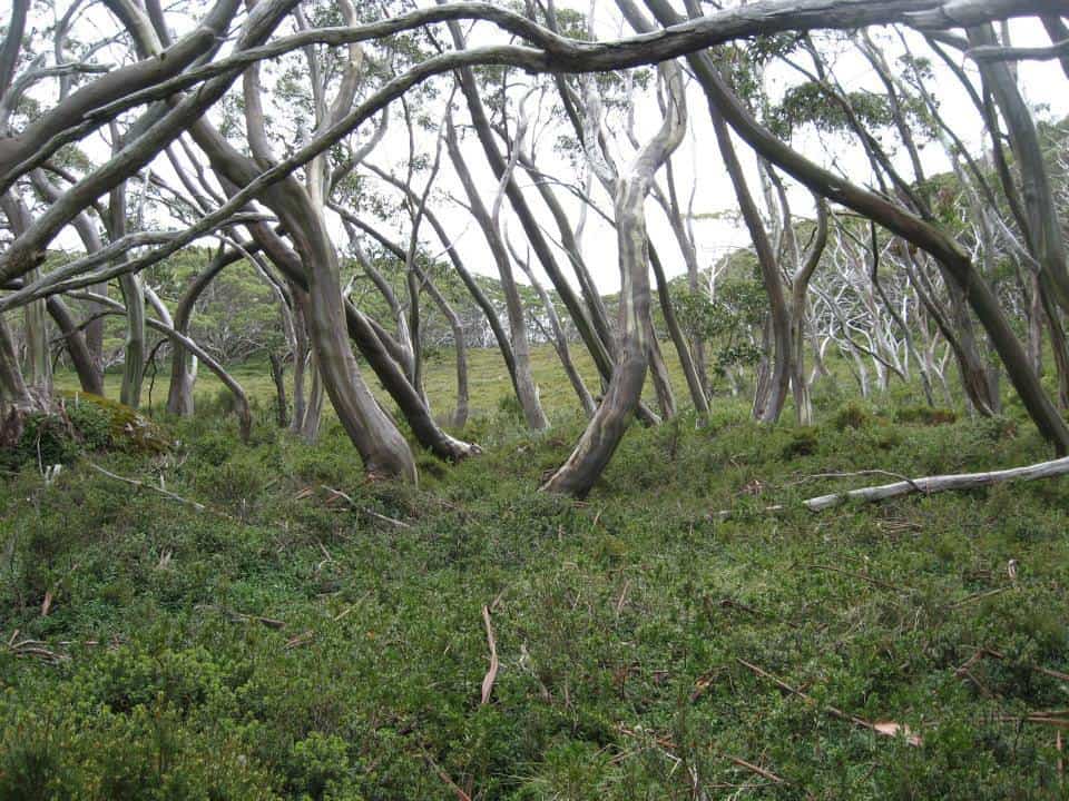
In many places the terrain and vegetation are clearly windswept. It us a good walk to carry a few extra tent pegs.
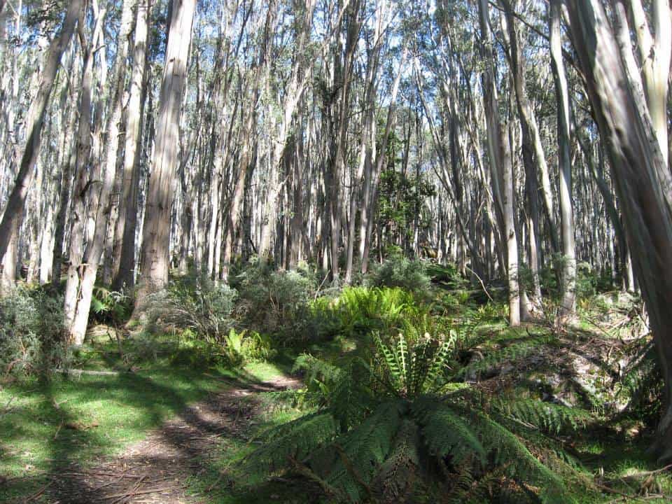
There are many lovely scenes to greet the eye.
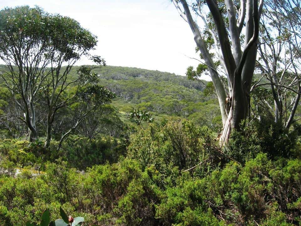

As you cross the plateau you get only occasional glimpses of what would be a magnificent view if only they would cut all the wretched trees down!
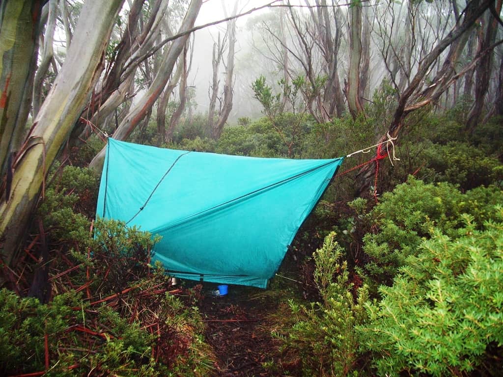
One wet night I camped right across the track in my hammock. It rained during the night turning the track into a stream 150mm deep. Yet I stayed dry – one of the advantages of hammock camping. During the night it was so humid that a light rain fell under my hammock tarp. The DWR on my sleeping bag handled it fine.

Mt St Gwinear track intersection looking towards Mt St Gwinear.

View towards Mt St Gwinear from the track intersection. Water can be obtained from the North Cascade Creek below.

Mt St Phillack (cairn) the highest point on the plateau.

Phillack Saddle just before the turn-off to Baw Baw is a fine place for an overnight camp. Water on the South side.
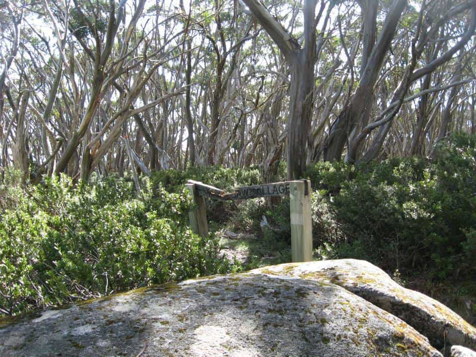
This is the real turn-off to Baw Baw a hundred metres or so past Phillack Saddle heading West. The old track exited right at the saddle but is unmaintained and well-nigh impassable today (though scenic). Whereas it takes about 1.5 hours to walk across the new route it takes twice as long on the old.
PS: My thanks to Gerard White for some of the preceding photos.
Telstra NextG mobile phone works most places across the Plateau.
Maps for this section:
Mostly Walhalla North T8122-2-N and part of WalhallaSouth T8122-2-S and Avenza Pdf App.
First Published on: Feb 22, 2016
See also:
http://www.finnsheep.com/THE%20UPPER%20YARRA%20WALKING%20TRACK.htm
http://www.finnsheep.com/Track%20Instructions.htm
http://www.theultralighthiker.com/upper-yarra-track-update-section-one-moe-yallourn-rail-trail/
http://www.theultralighthiker.com/upper-yarra-track-update-section-three-wirilda-to-moondarra/
http://www.theultralighthiker.com/upper-yarra-track-section-four-moondarra-to-erica/
See also Upper Yarra Track Winter Route:
http://www.theultralighthiker.com/western-tyers-river-great-for-crays/
http://www.theultralighthiker.com/the-western-tyers/
http://www.finnsheep.com/THE%20UPPER%20YARRA%20WALKING%20TRACK.htm
http://www.theultralighthiker.com/upper-yarra-track-update-section-one-moe-yallourn-rail-trail/
http://www.theultralighthiker.com/upper-yarra-track-update-section-three-wirilda-to-moondarra/
http://www.theultralighthiker.com/upper-yarra-track-section-four-moondarra-to-erica/
http://www.theultralighthiker.com/upper-yarra-track-section-five-erica-to-walhalla/
http://www.theultralighthiker.com/upper-yarra-track-st-gwinear-track-junction-to-whitelaws-hut/
http://www.theultralighthiker.com/upper-yarra-track-summary-cumulative-distancestimes/
http://www.theultralighthiker.com/upper-yarra-track-osheas-mill/
http://www.theultralighthiker.com/a-beautiful-world/
http://www.theultralighthiker.com/upper-yarra-track-winter-route-caringal-scout-camp-tyers-junction/
http://www.theultralighthiker.com/upper-yarra-track-winter-route-western-tyers-to-tanjil-bren/
http://www.theultralighthiker.com/kirchubel-if-you-go-nowhere-else-in-the-world-at-least-go-here/
http://www.theultralighthiker.com/upper-yarra-track-winter-route-downey-to-newlands/
There will always be a Brooke babbling somewhere… Kudos to your ultralight philosophy bro- at least you operate a Jack Russell or two, and not Alaskan Malamutes…although a couple would be handy in winter!
Cheers Wallace!
Wow, just wow. It’s about respect and your response shows you have absolutely none. Good luck to you.
What’s about ‘respect’? Your coming onto my website to bully me? I walked and hunted (with hounds) all over the Baw Baws long before they became a National Park – something which I would like to see abolished, as they fail to protect the bush I love. So do my two Jack Russells who can’t wait for another lifetime to have these absurd rules changed. At nearly 70 nor can I. We will pay our fines if they are ever issued. In reality we encounter no-one on our walks, certainly not Parks employees who do no work. You fail to appreciate the immense amount of work I have done to create this resource and the Upper Yarra Track pages, a track completely neglected by those employed to maintain it. All you can do is be a spiteful critic: you deserve no respect. You may notice I have not taken issue with you on the ‘Tips’ page as that is not my page. Nor have I deleted your unpleasant and unwanted comments here.
I do wish people would respect the flora and fauna in National Parks. Your walk was within the Baw Baw National Park. Seems you missed the ‘NO DOGS OR CATS ALLOWED’ signs. Please do not emulate the ultra light hiker. Do your homework before you take your pets.
Cheers, to you too! They pulled down and devoured several other hikers and a swag of large native animals too! Such rules are as stupid and unnecessary as is the existence of National Parks themselves – land which is managed only for widespread destruction by wildfire, weeds and pest animals.There is a better way.