Suppose you didn’t have two 4WDs, or a 4WD at all…Nonetheless, could you hitch a 4WD ride to Victoria’s most remote place, the Wonnangatta Station so you could pack raft the Upper Wonnangatta from the Humffray Confluence to Eaglevale? Sure Can! (Fridays afternoons or) Saturday mornings are definitely the best option. If you are there early, within an hour a veritable convoy will come along with lots of empty seats heading your way. Cars have to come to a virtual standstill to negotiate the difficult river crossing, so if you park your car under a shady conveniently located tree right next to the crossing and wait, looking forlorn and hopeful, someone will be sure to take pity on you. I did it last Sunday (as I was delayed by a day) and had to wait a whole hour.
NB: You can check the river heights here and assess how many mls it is rising or falling per day by also noting the rainfall at Mt Hotham and the forecast for Mt Hotham or Crooked River–
Given that the drive each way (Eaglevale-Hernes Spur) is 1 1/2 hours (and you would normally need two 4WD vehicles, leaving one at the Wombat or Hernes Spur and taking the other one in later to pick it up), this still saved hours of driving for two drivers – and of course it meant I could do the trip by myself. (Eaglevale is approximately 6 hours from Melbourne. (Take the left turn off the Dargo Road onto the Wonnangatta Road after you pass the Waterford Bridge and Guy’s Caravan Park – last fuel/ice). As I was by myself, there was no other way to do it save walking up the river (from Moroka Glen) and canoeing back – a couple of grueling days in the heat – by which time the water (such as it was) would have been gone!
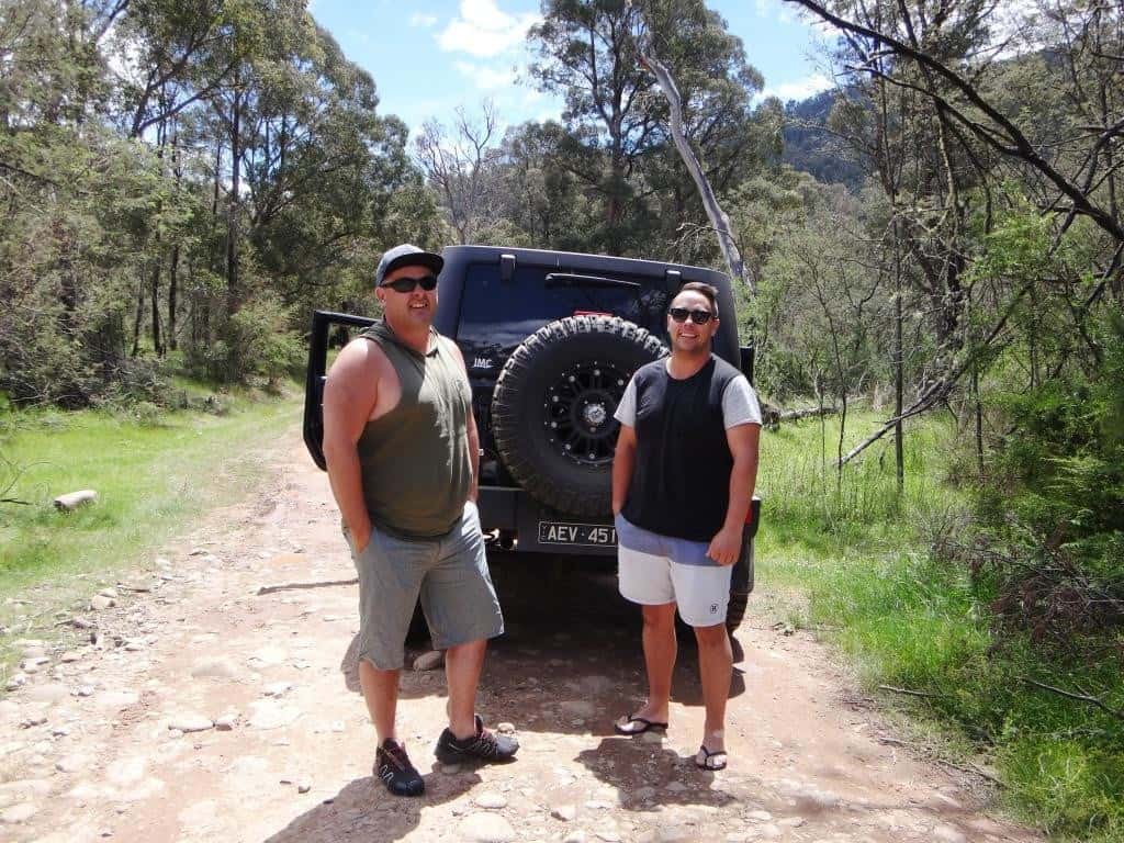
Two lovely young blokes from Traralgon graciously gave me a lift on their first (fishing) trip into the Wonnangatta. I doubt it will be their last. They were good company too – but my last company for the remainder of the trip, as I prefer it anyway. They headed down the Wombat Spur (Humffray Confluence), so I had two extra hours paddling – as it turned out (compared with putting in at the Hernes Spur). Still, I experienced the entire navigable section of the river.
And here they are (with their Jeep) at the Wombat Spur crossing. What a lovely day it is:
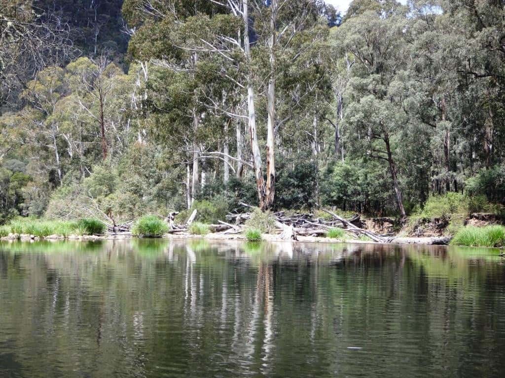
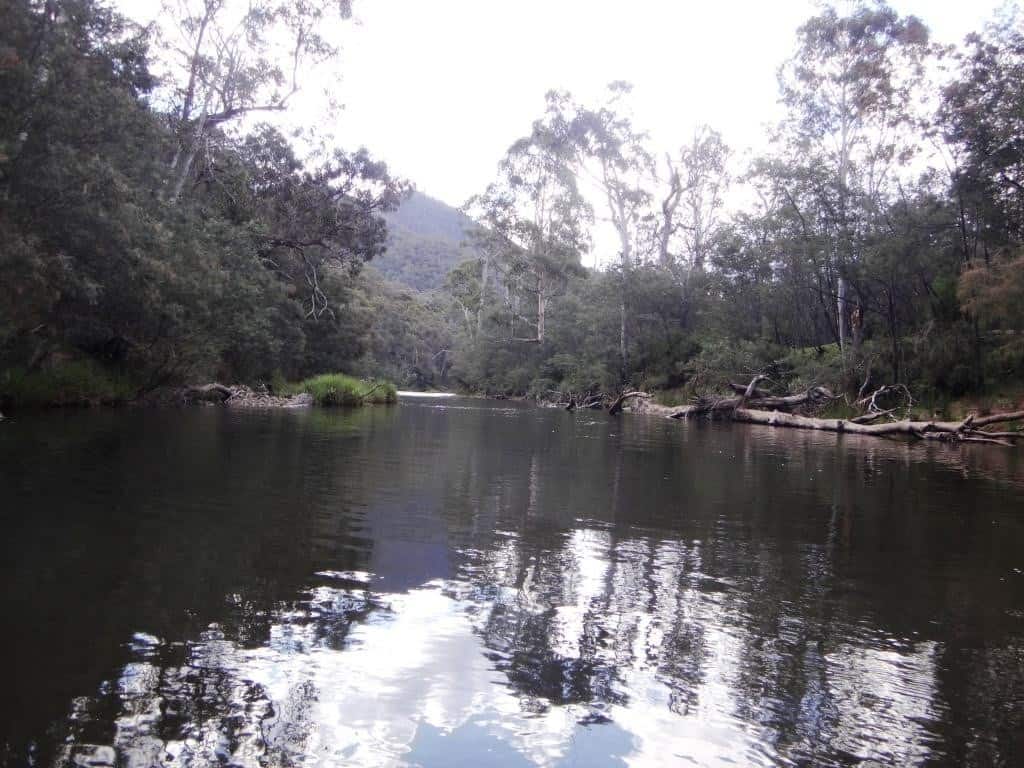
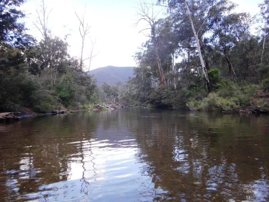
I will split the post in two – as there are lots of photographs – so you can imagine a night spent regaling yourself by the river, rocked to sleep by the murmur of the river on its bars – after dining on fresh-caught trout, lullabied by the returning evening chorus, etc. The photos are in order to give you an impression of the totality of the journey. Mostly I will just allow the photos to speak for themselves. There are zillions of spots where you can pull out and make a delightful camp. I have included a couple of video clips to give you a better ‘feel’ for the experience. These are not professional productions.
There are around seven road crossings of the Wonnangatta between the Wombat and Hernes Spurs. If you have made a mistake and there is just definitely not enough water you can pull out and hitch back from Hernes Spur. On the other hand, this section (though quite nice) takes about two hours, so if you are in a hurry, you might walk the distance in half that time and save yourself an hour by beginning at Hernes Spur (supposing you were dropped off at the Wombat Spur). If you were camped in the vicinity you could take turns doing trips between the two tracks Wombat/Hernes) and maybe doing a spot of fishing. I simply paddled on…
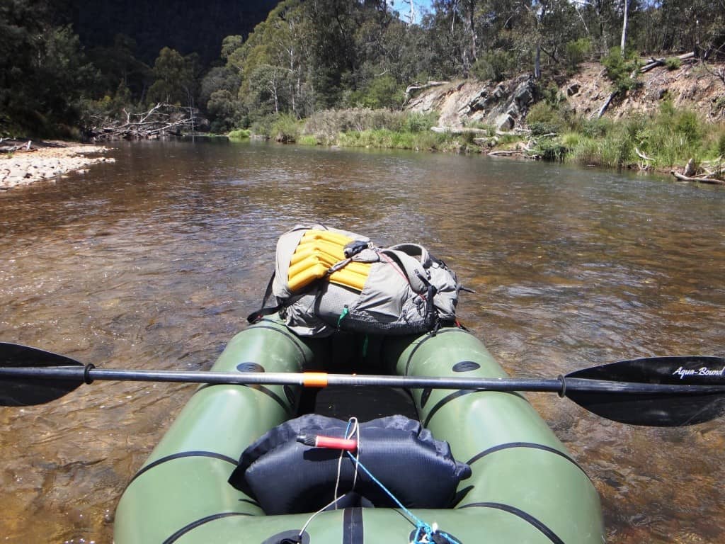
This is my rig. I have an Alpacka ‘Fiord Explorer’, an Aqua Bound paddle, my old Zpacks Blast pack with its Gossamer Gear Airbeam pad (they have been a lot of places with me). Inside is three days food, my Pocket Poncho Tent, my take-down .308 BLR – all the gear I need. Something like this: http://www.theultralighthiker.com/a-gorilla-in-the-hand/ There would be plenty of room for a small dog (who remonstrated with me about being left out, I can assure you!), but you just can’t count on hitch-hiking with a dog!
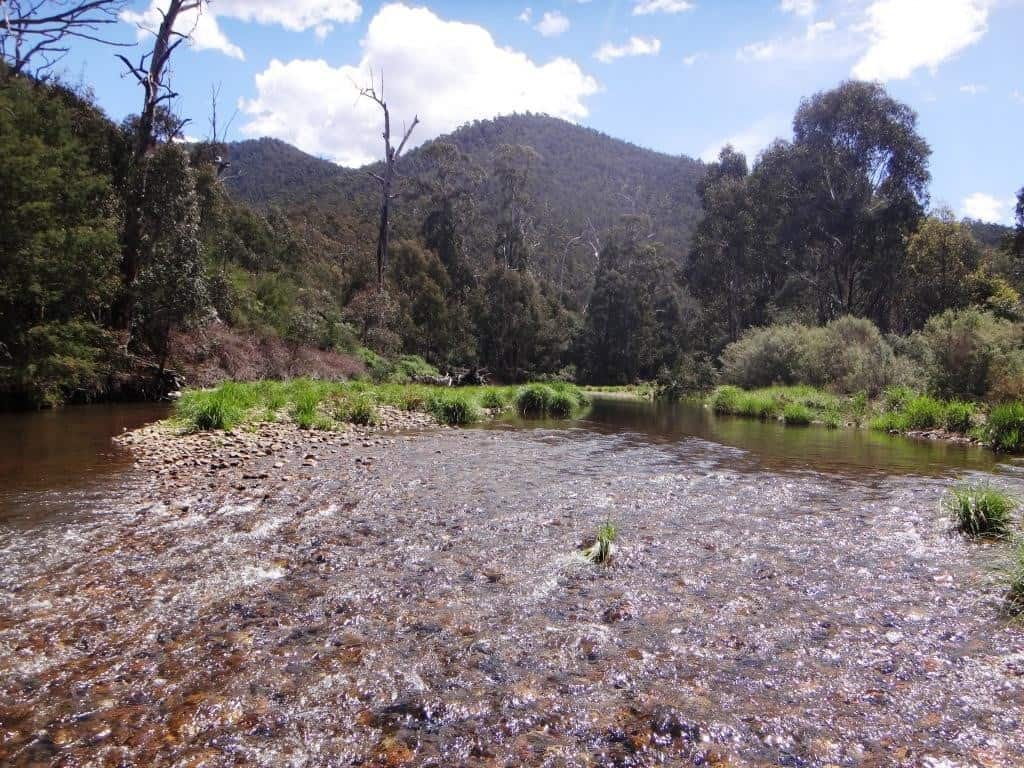
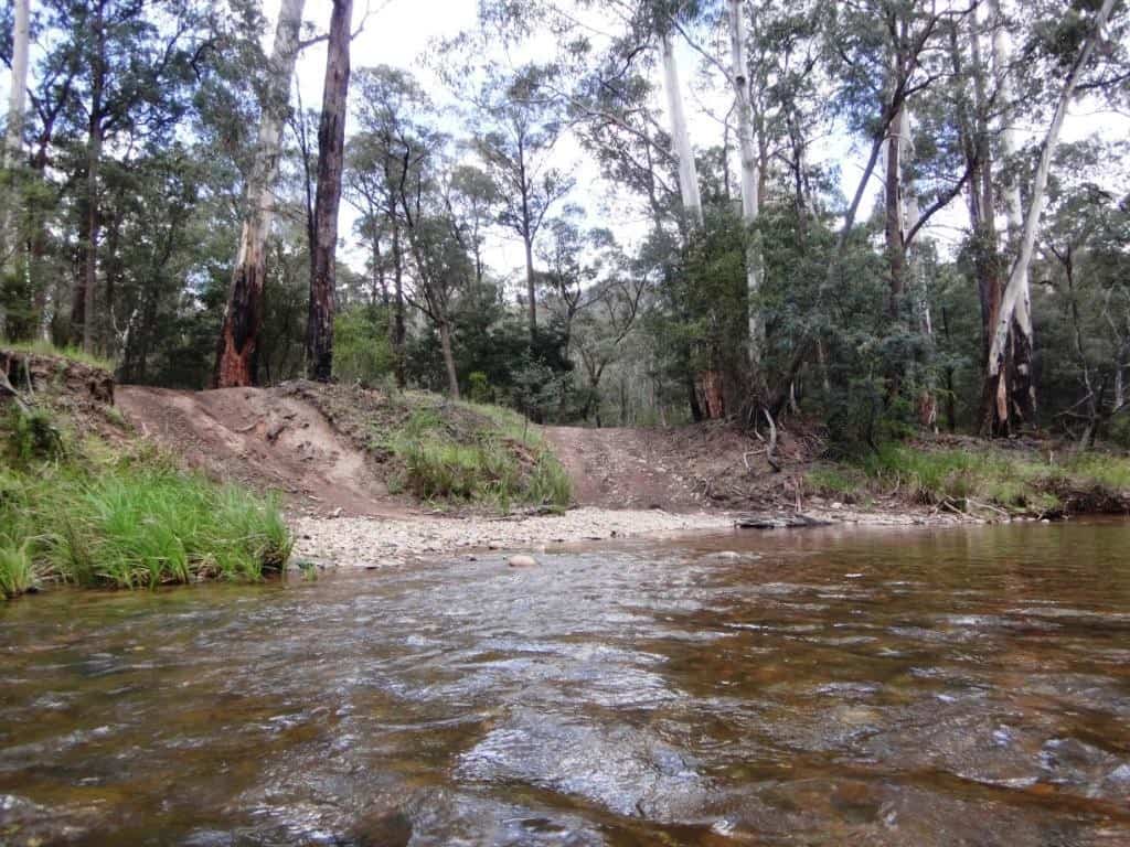
There does not look as if there is quite enough water at the crossing…
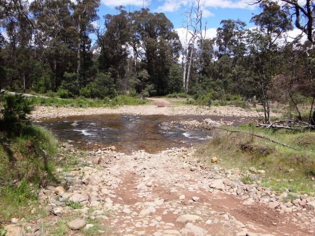
But, maybe…I will give it a ‘go’ anyway:
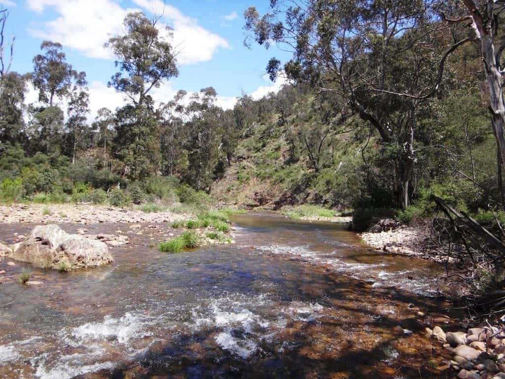
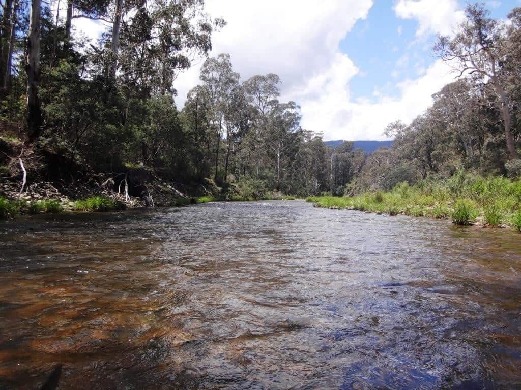
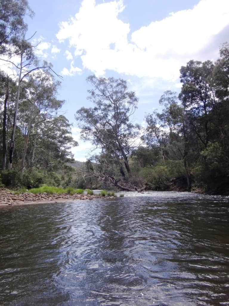
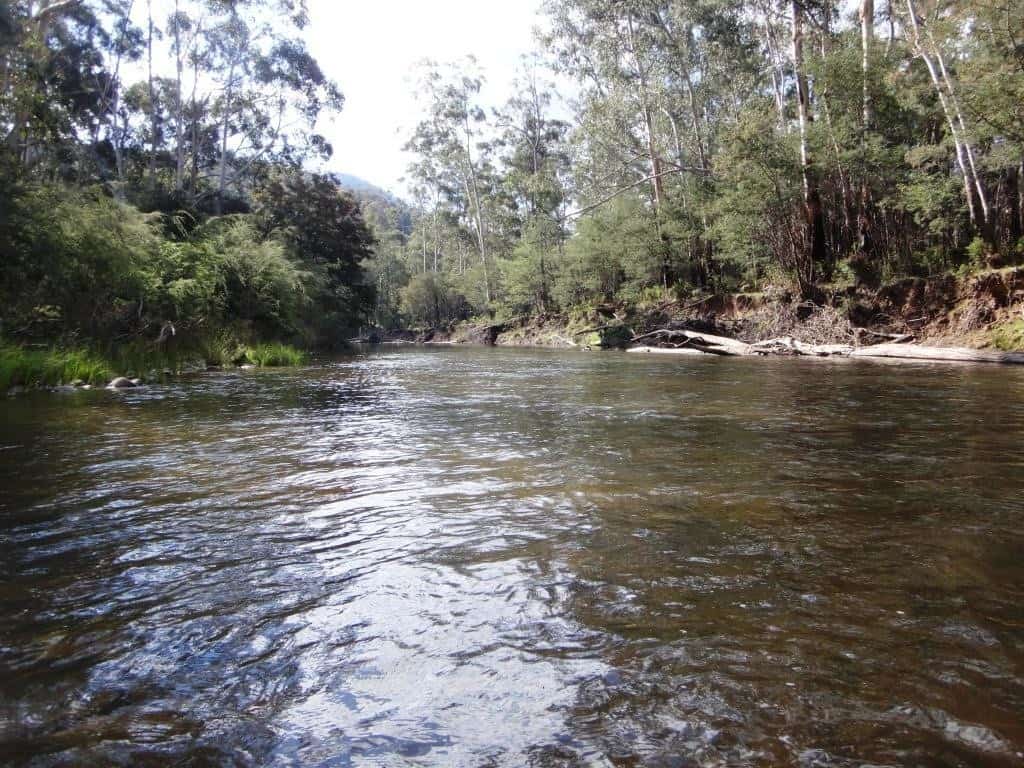
It soon gets better.
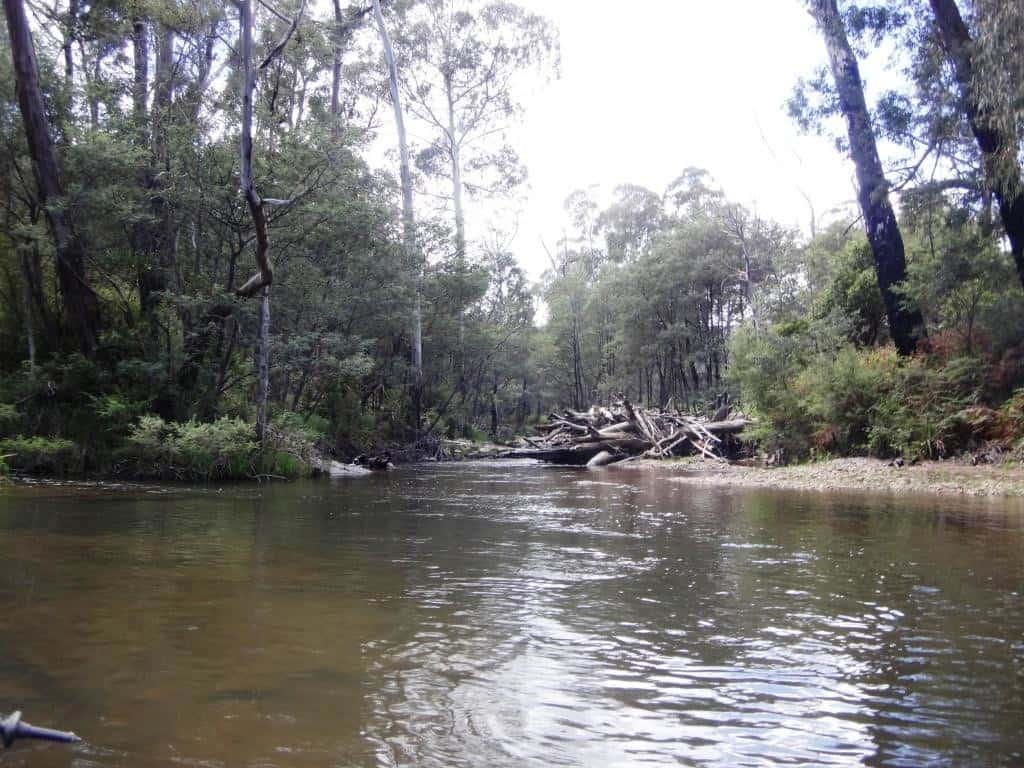
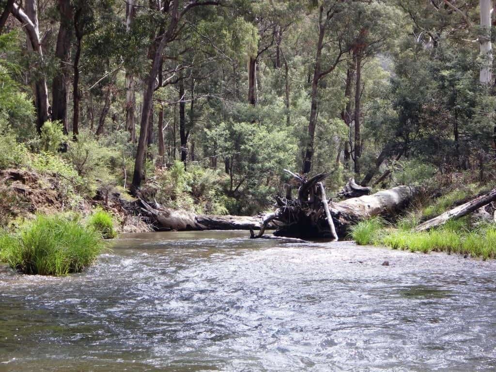
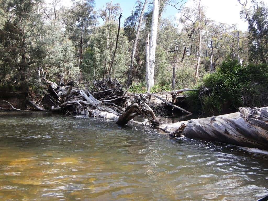
All along the trip you have to watch out for log jams and log overhangs.
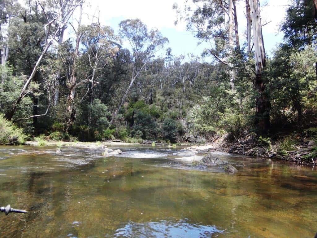
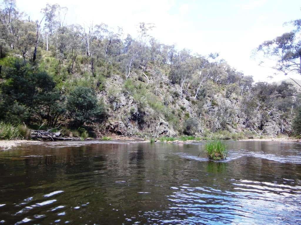
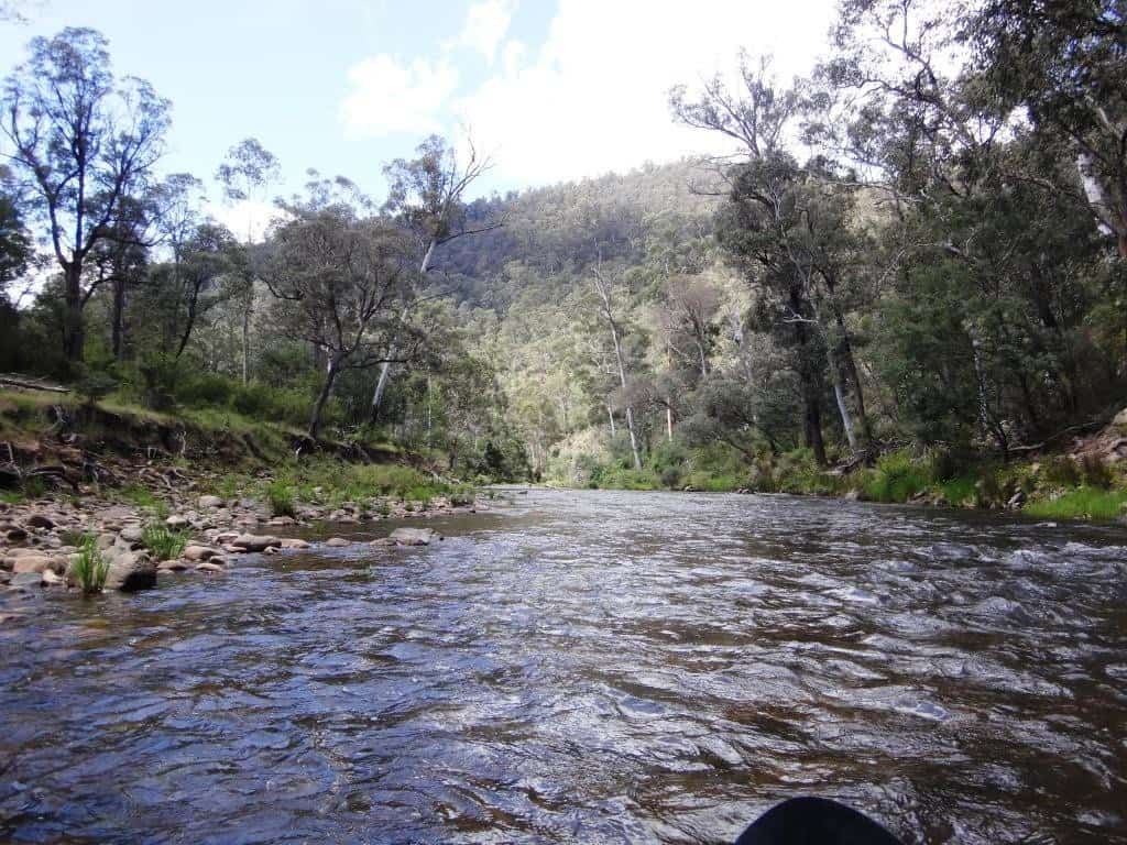
The rapids are only ever Grade 1 – perhaps the odd Grade 2. But you need to watch out: there are lots of submerged rocks.
There are lots of great fishing spots – and zillions of tasty trout. Sorry about my finger in the snap below – a signature thing actually!
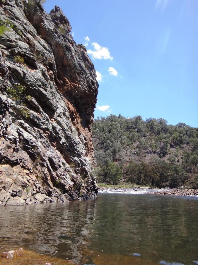
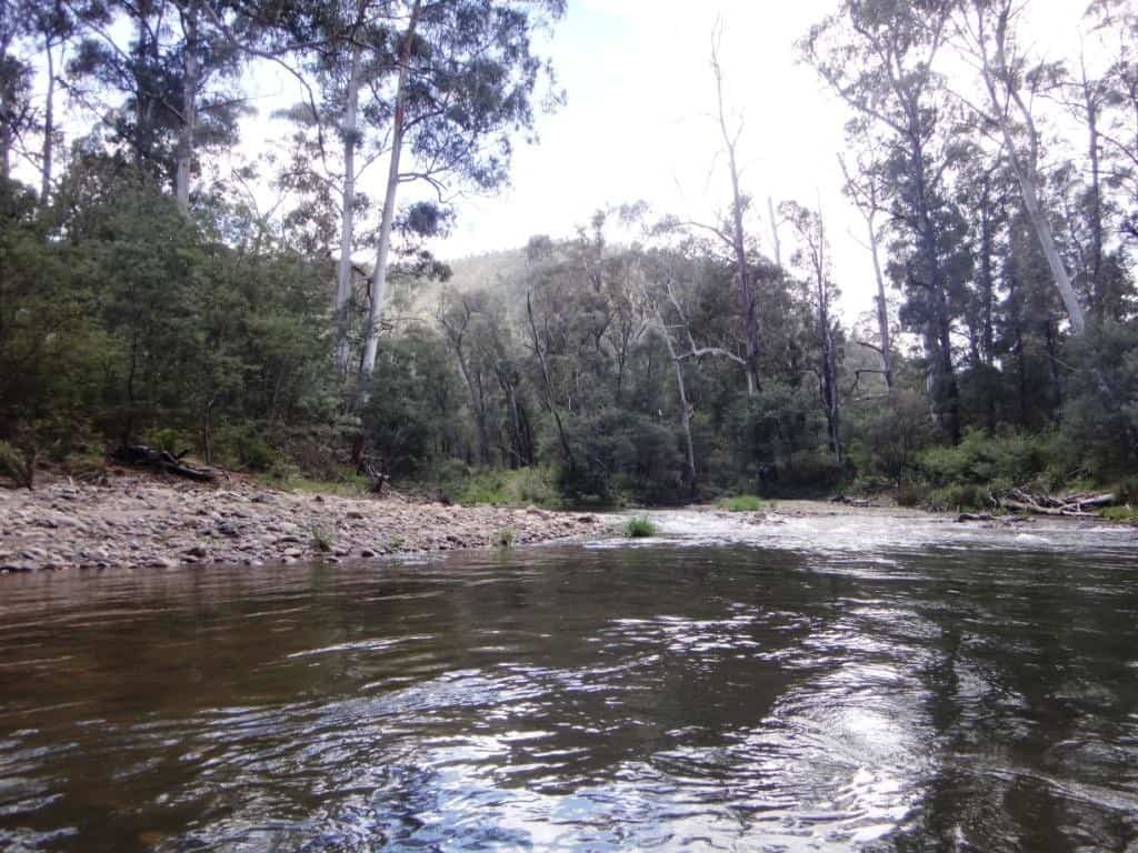
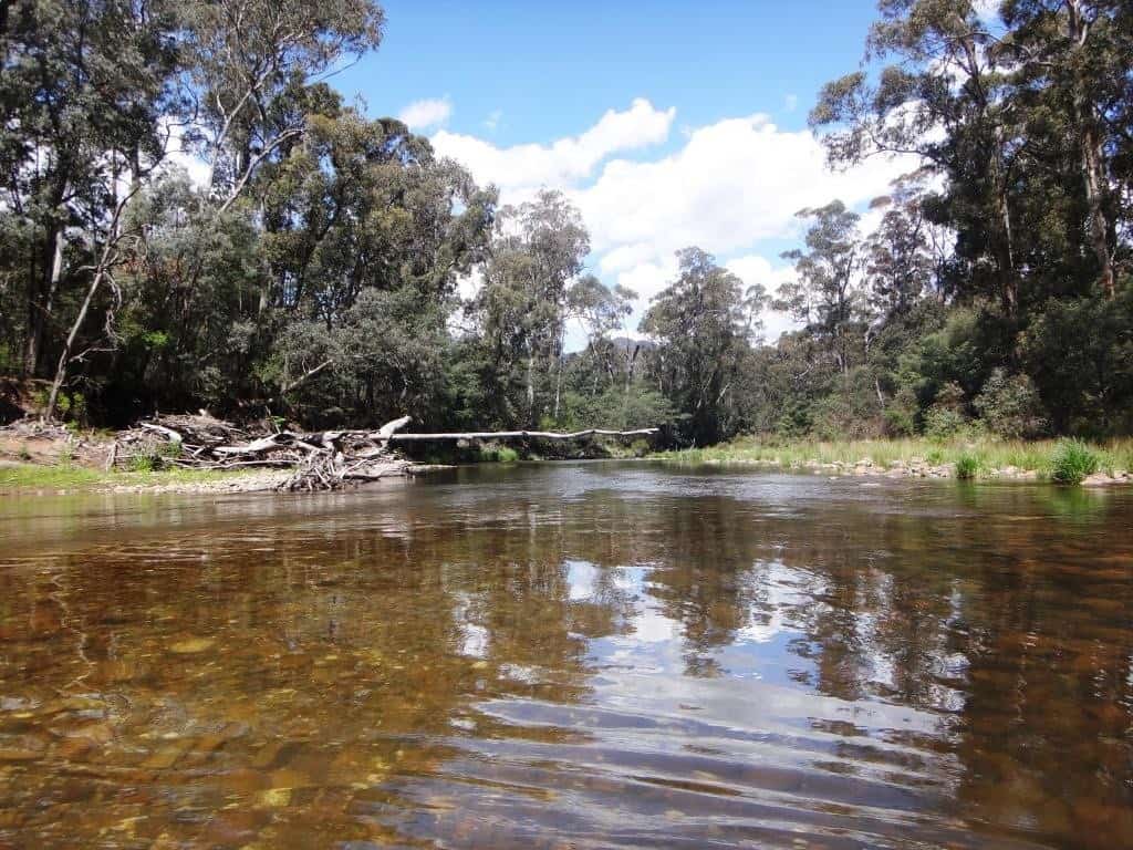
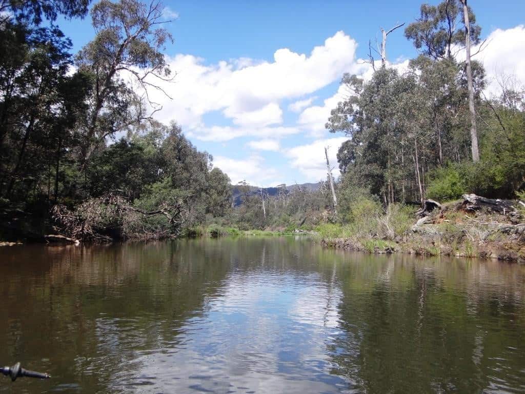
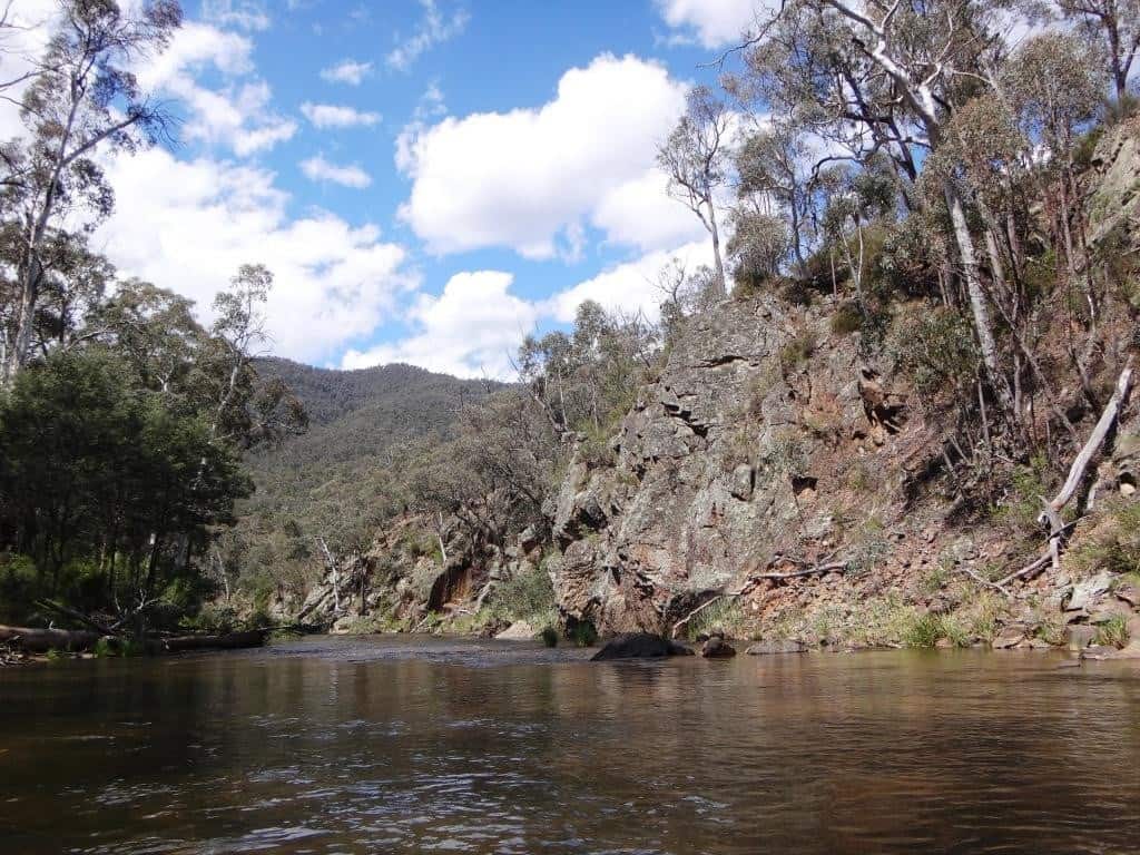
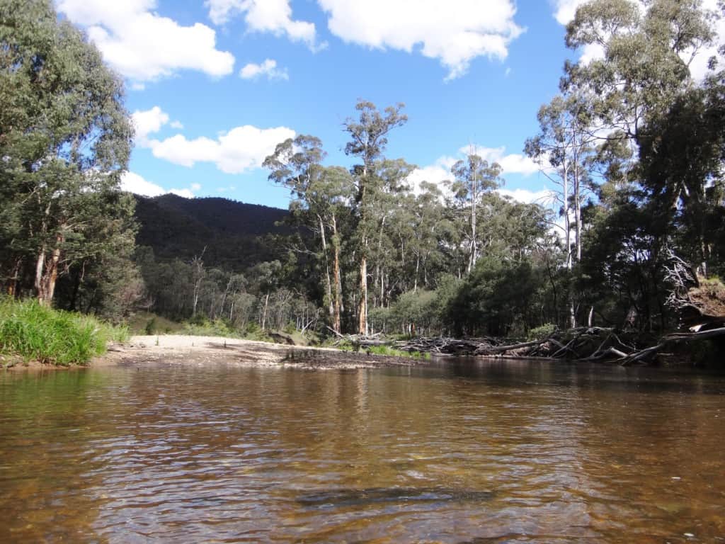
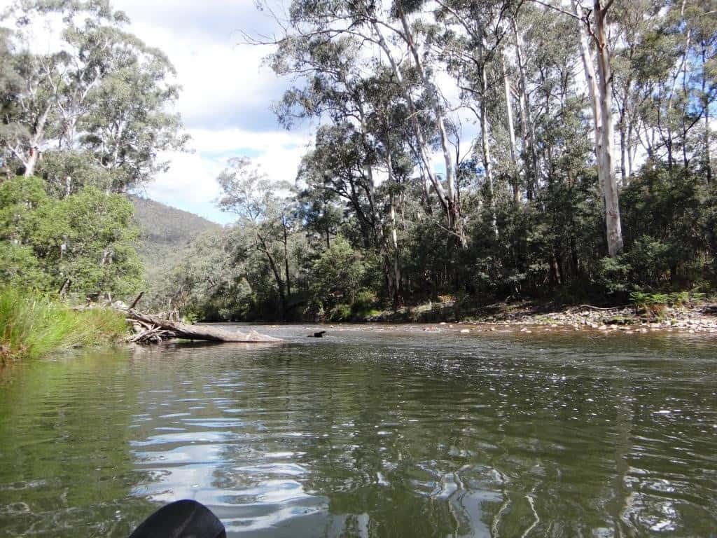
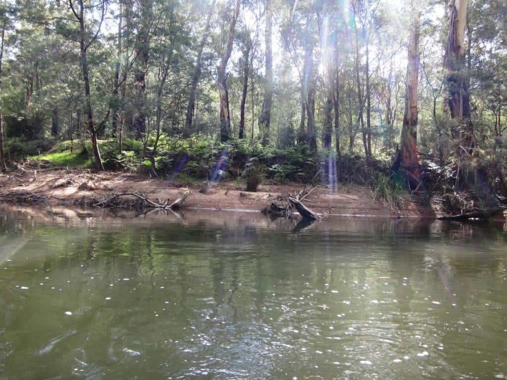
Lots of pretty beaches…
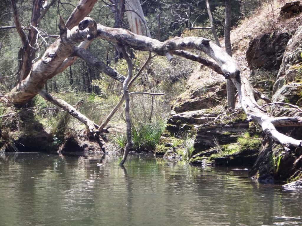
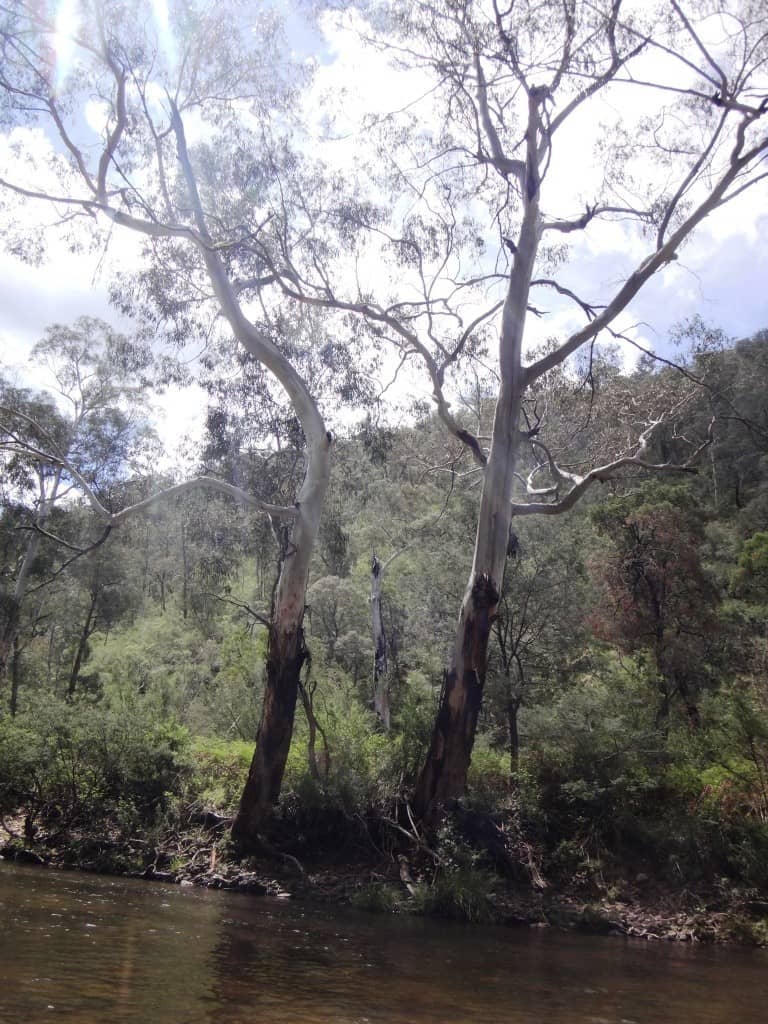
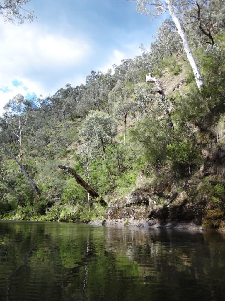
So much fire-killed timber. Be careful how you negotiate overhangs like this one.
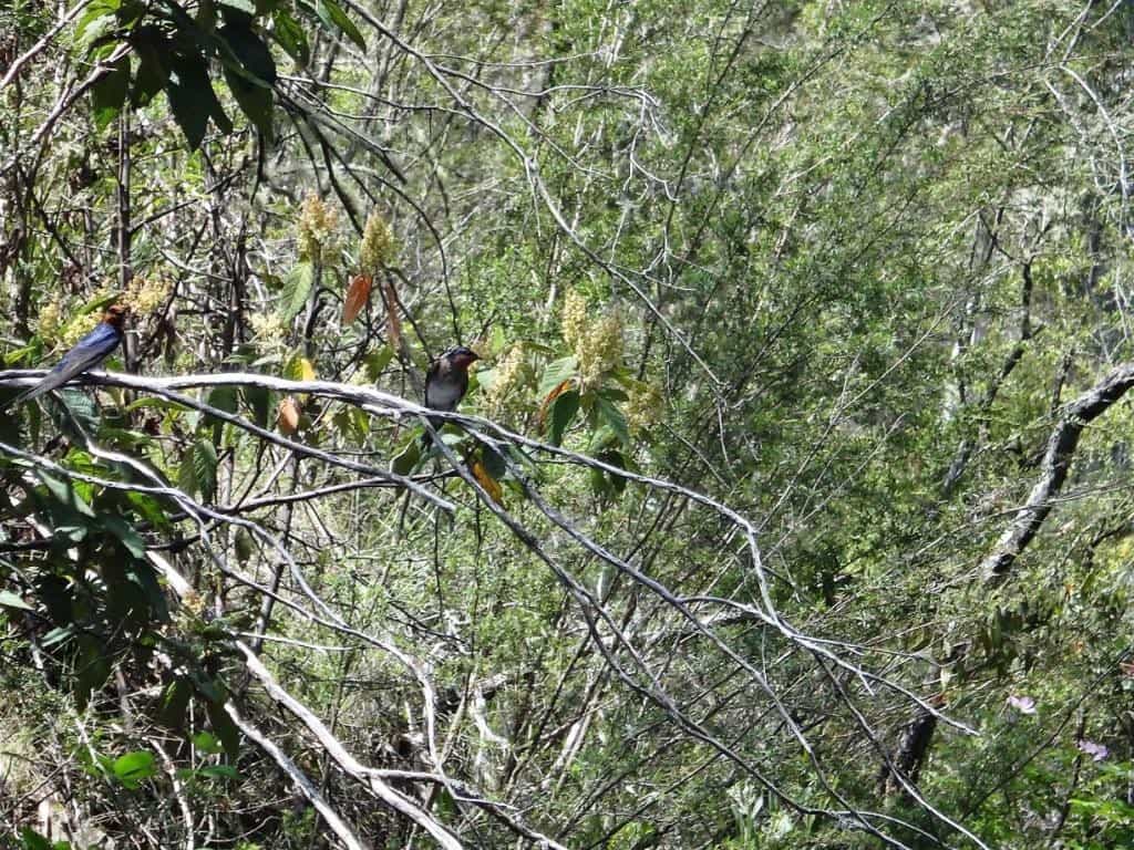
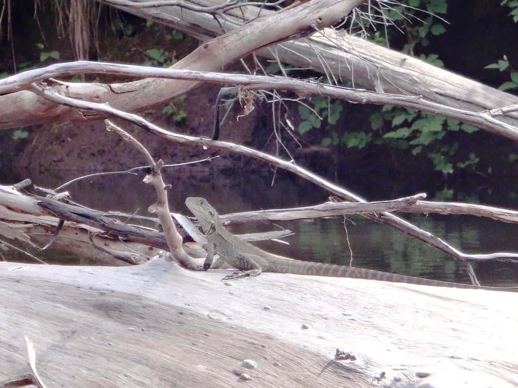
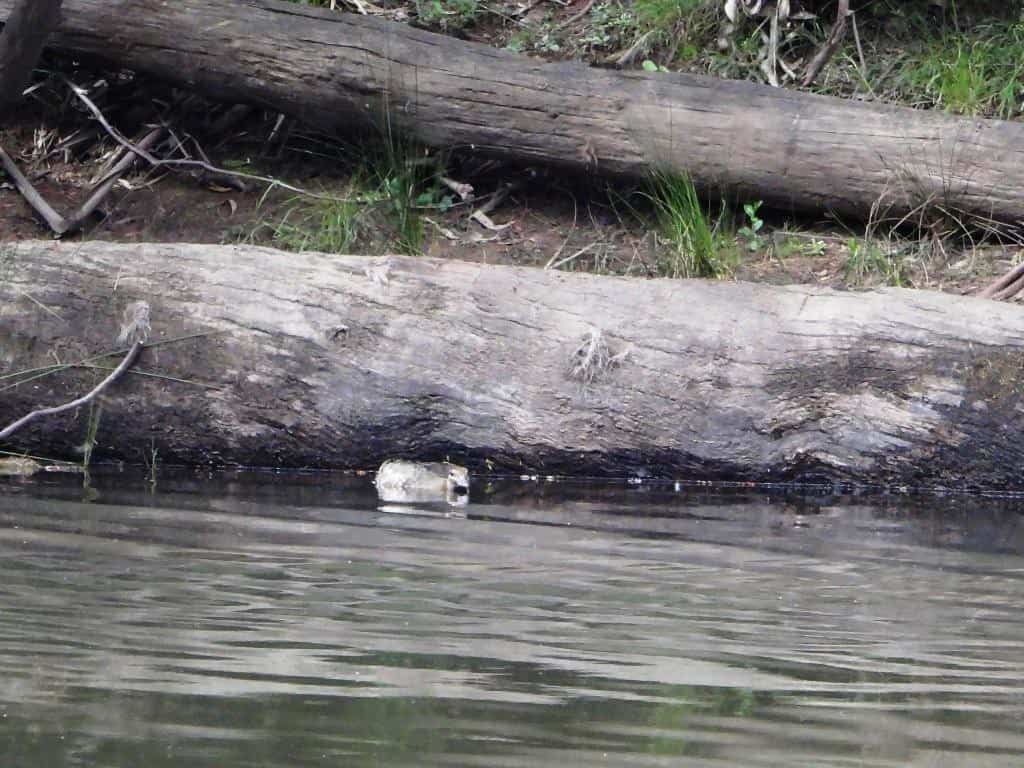
Many ‘welcome’ little guys like this which nest under the bank overhangs along the river.
Be careful how you approach things like this. Plenty of folk have died under such logs.
Here is the Hernes Spur crossing. If you go past this point without intending to, you will have a long paddle (over 8 hours more) – or a very long walk back!
Plenty of dragons watch you pass.
You would have to get out for this one. This is where a pack raft comes into its own. Simply unclip the pack, swing it on, pick up the raft in one hand, the paddle in the other as a walking stick, and off you go:
This duck imagines she is hiding.
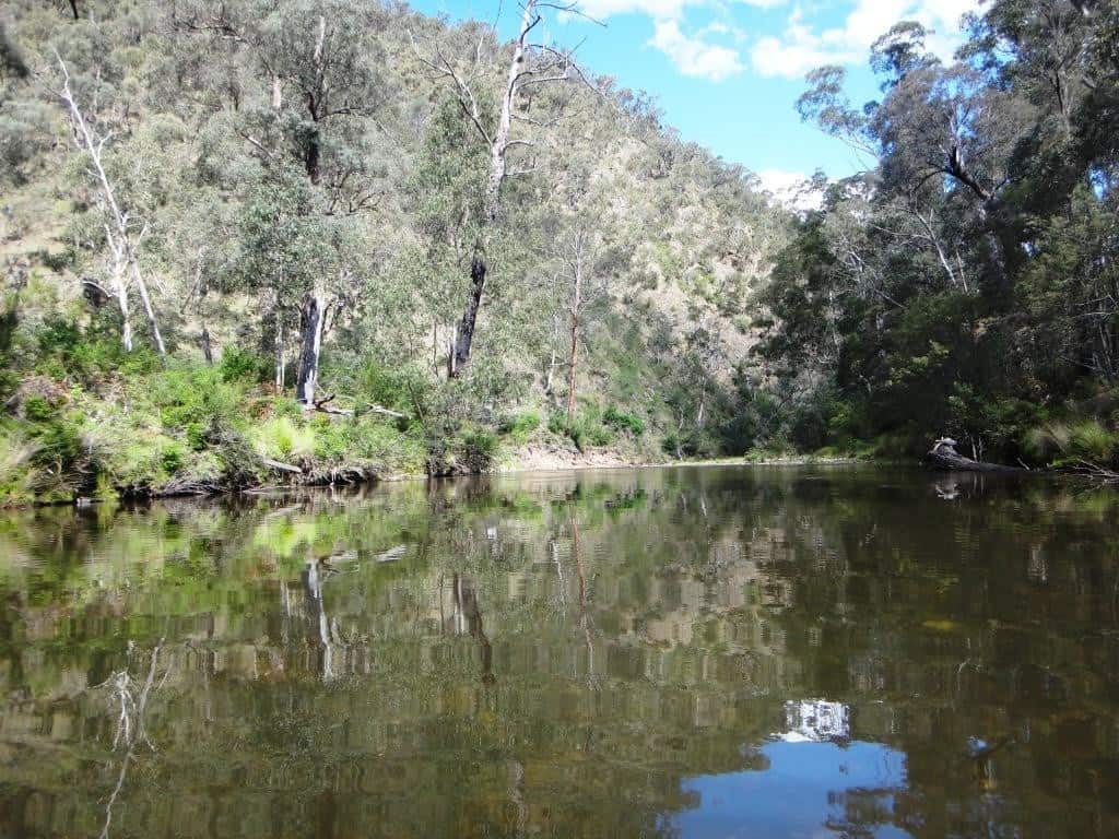
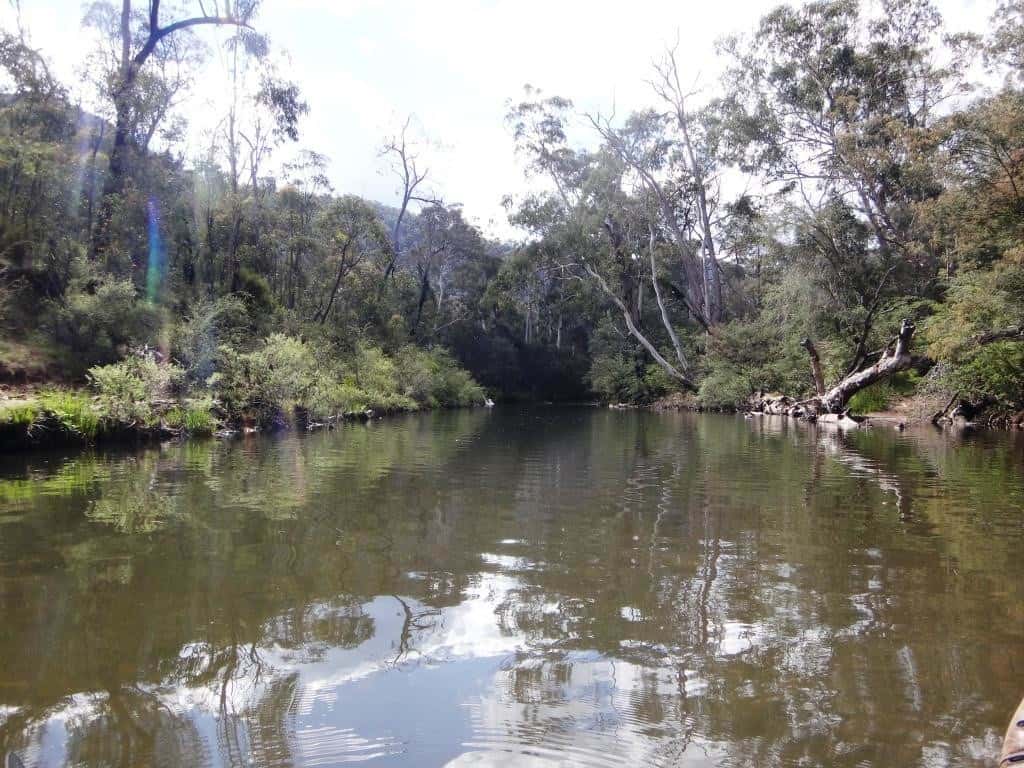
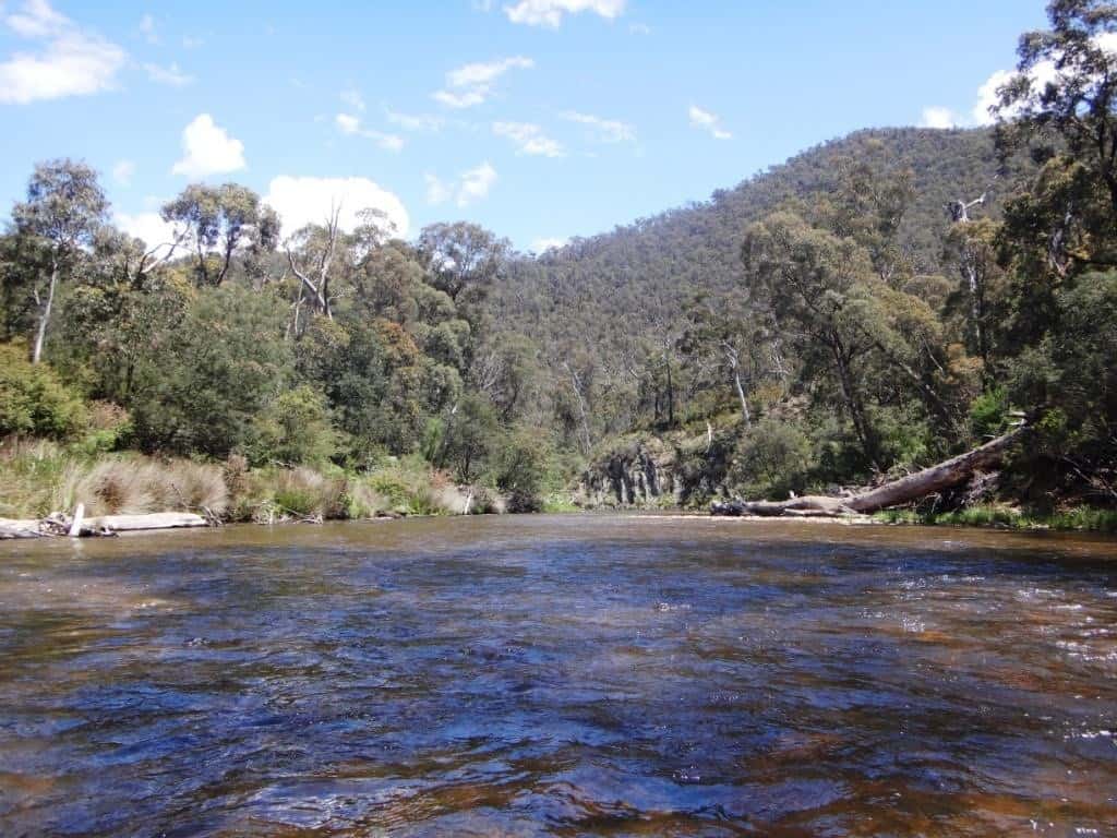
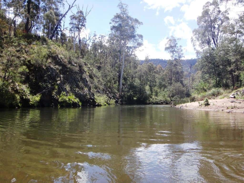
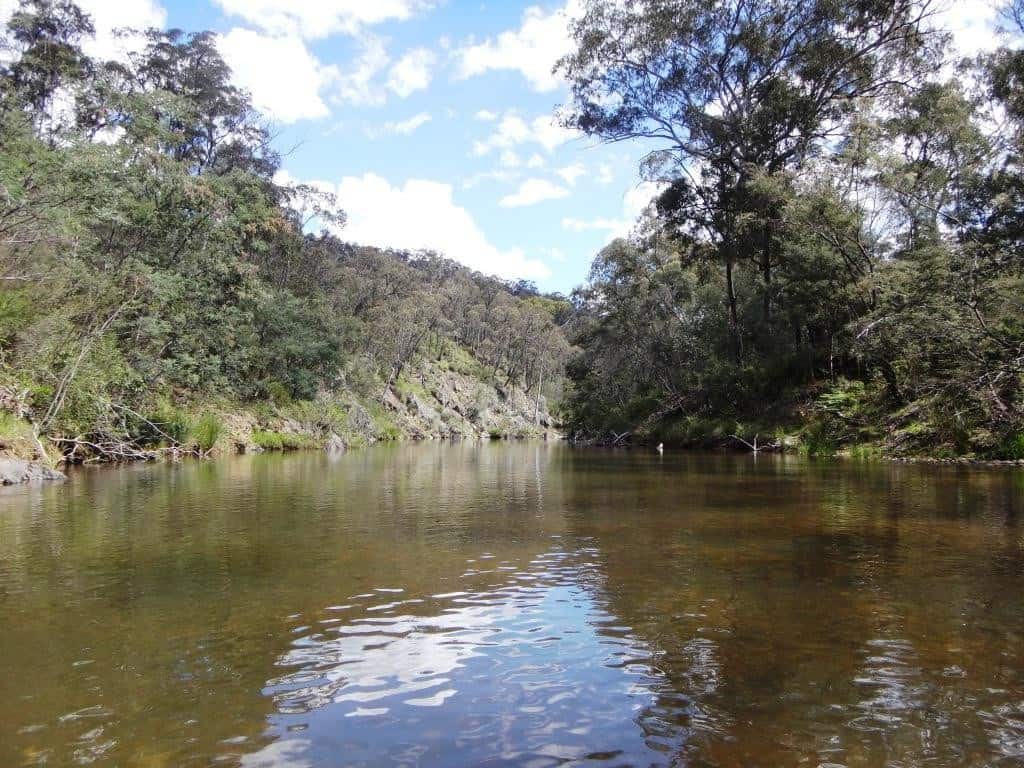
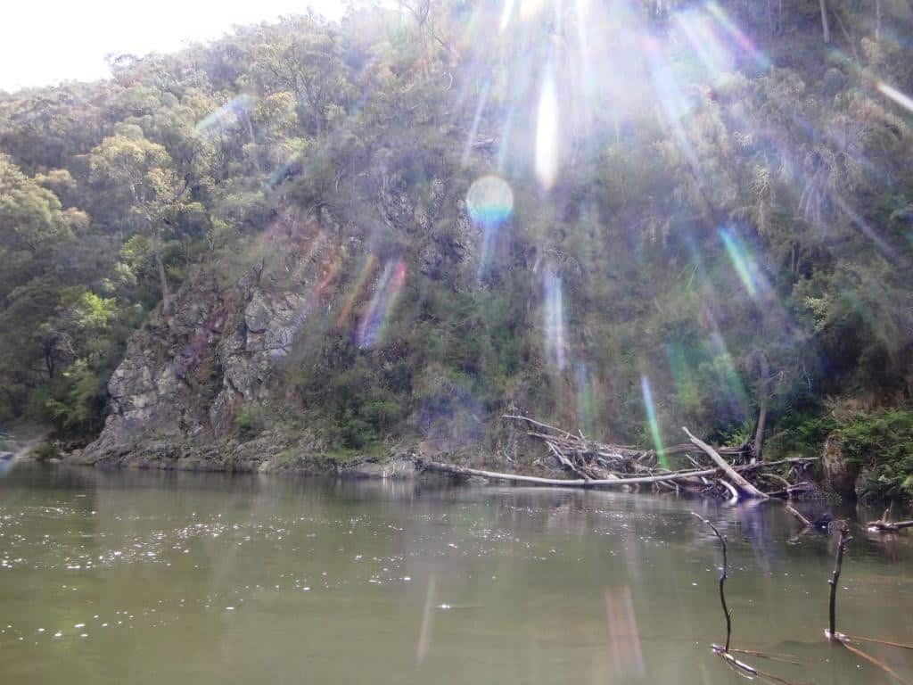
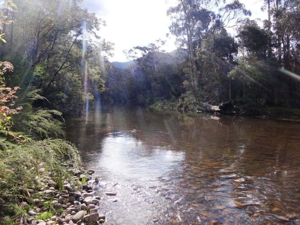
Great fishing hole!
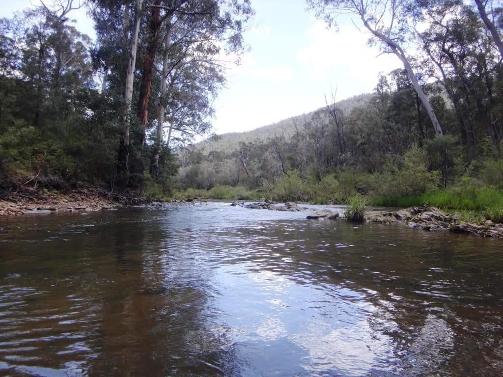
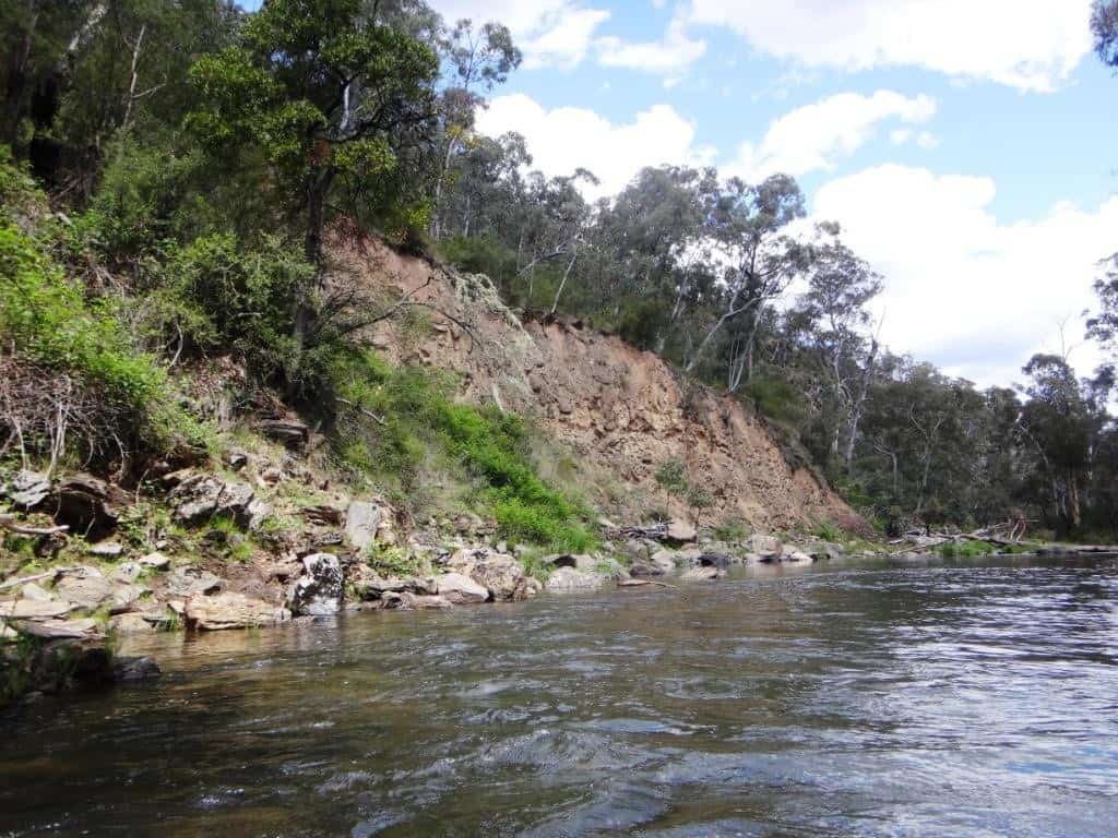
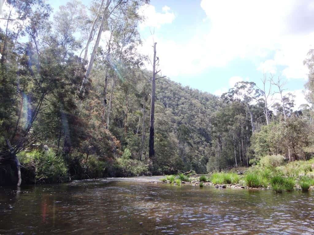
Coming up to the top flat (right). One hour from Hernes Spur.
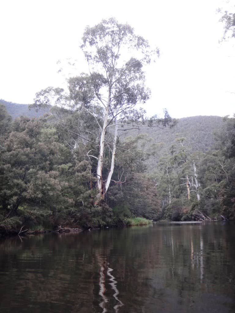
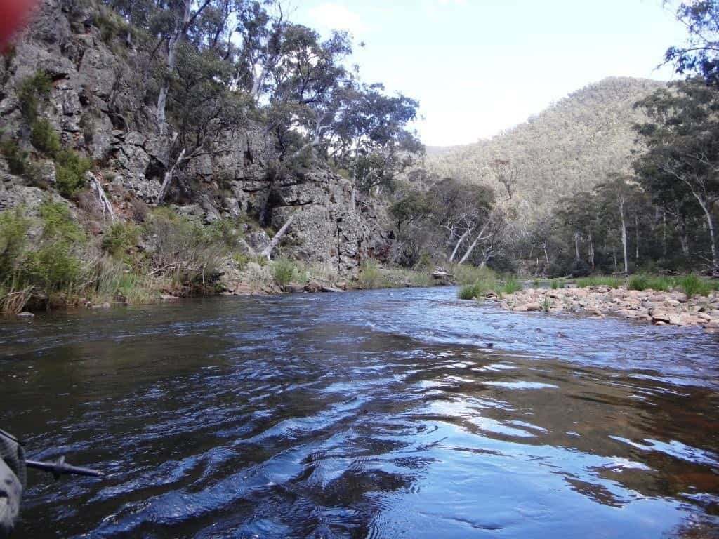
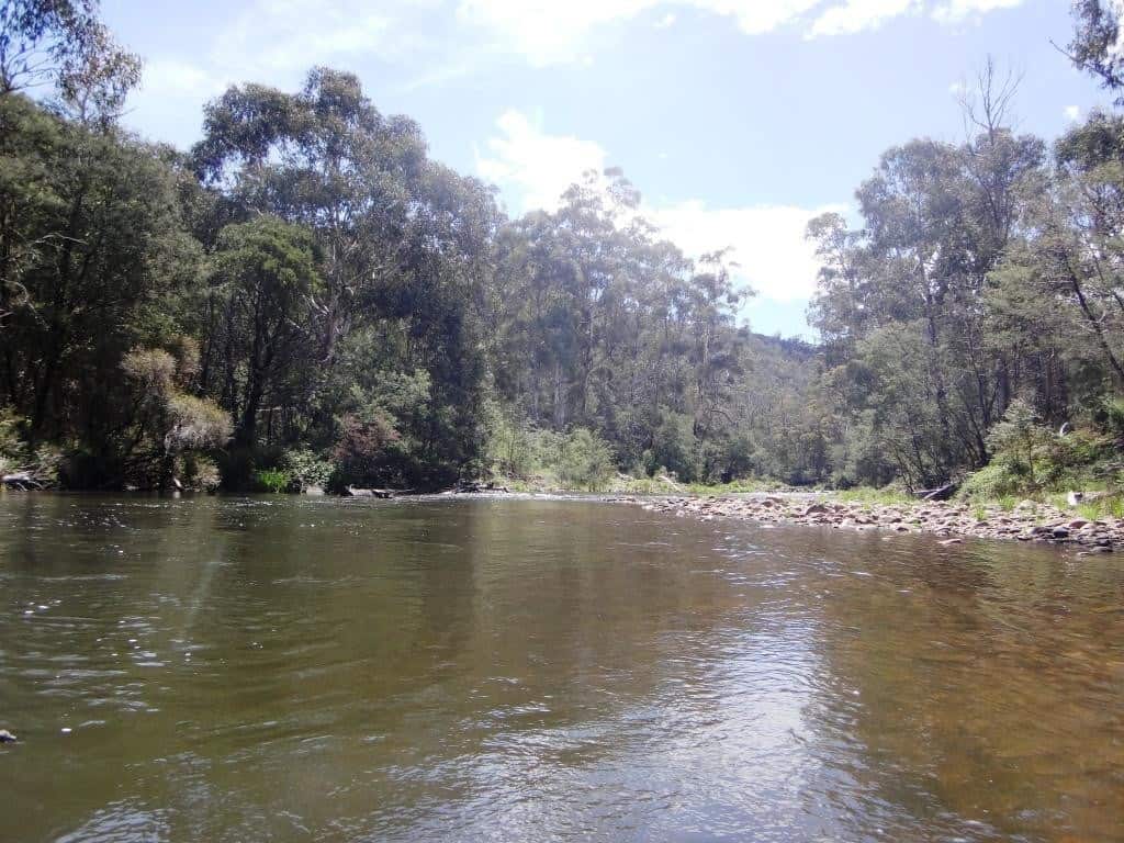
Looking upstream from the top flat.
Just a couple more bends. Say half an hour…
Here is a little video just to give you a feel for the sights and sounds of being on the river. This was taken between Wombat and Hernes Spur:
And I spot a pleasant camp on the true left bank just above Mt von Guerard Creek. Put yourself in this picture perhaps (my pocket poncho tent looks very nice in that scenario doesn’t it?):
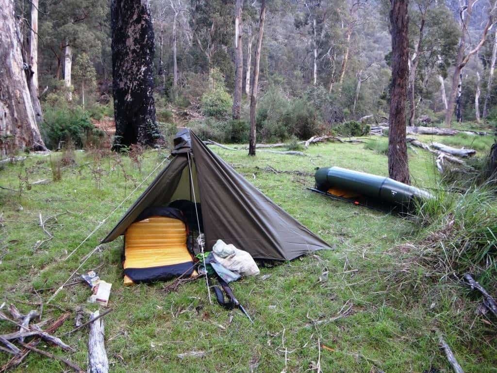
Like this:
Here is another little video to give you a feeling for the beauty/tranquillity of the spot I camped in and some idea of how the morning chorus has returned:
As I did not launch until 1:30 pm, I had one short day (3 1/2 hours) and one longer one (7 hours). If you were at Eaglevale at 7:00 am, you would probably be putting in to the river by 9:30 am, so you might camp somewhere between Mt Darling Creek and the Moroka Confluence – to split the journey roughly in two. I camped about half way between the top and bottom flats, around about Mt Von Guerard Creek. If you were doing the trip over three days, this would be good. The second night you would camp say about an hour below the Moroka confluence/Moroka Glen.
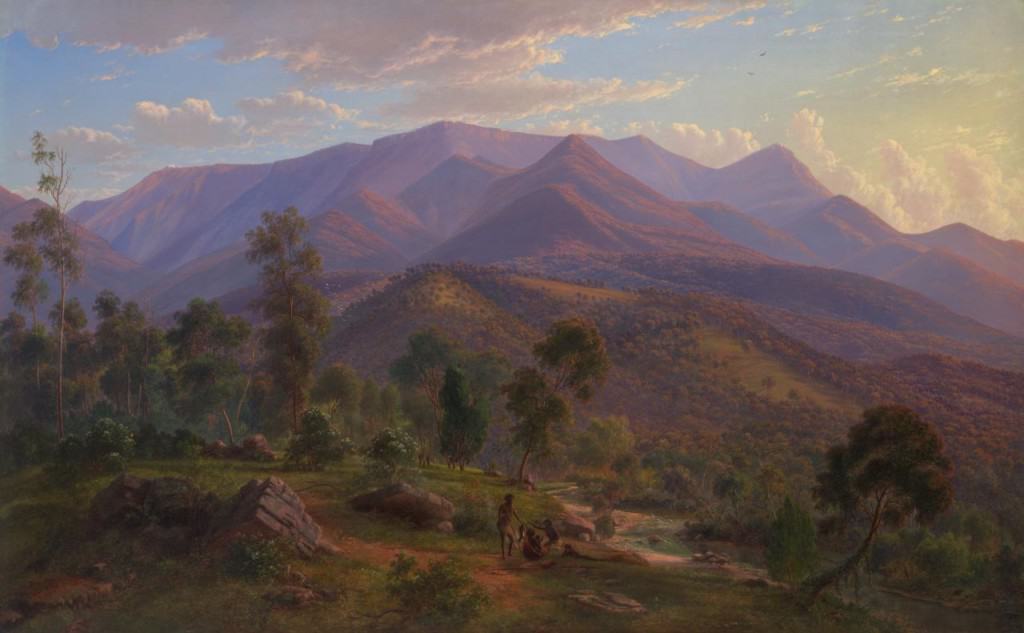
View of the Snowy Bluff on the Wonnangatta River 1864 by Eugene von Guerard (this would have been painted in the vicinity of Mt von Guerard), at the top of Mt von Guerard Creek, at the confluence of which I camped (below):
Times: (please note this is with the minimum navigable gauge height and if you are nearly 70 – you may be quicker – or slower) but this will give you some idea. These are actual paddling times, not counting time spent being stargazy, eating, swimming, fishing, hunting etc. Humffray confluence/Wombat Spur track to Hernes Spur: two hours; Hernes Spur to top flat 1 hour; top flat to bottom flat 1 hour; bottom flat to Mt Darling Creek 1 hour; Mt Darling Creek to Moroka Confluence/Moroka Glen (add ten minutes) 1 1/2 hours; Moroka Glen to first swing bridge 3 hours; first swing bridge to (second) Eaglevale swing bridge 1 hour; thus Moroka Glen to Eaglevale 4 hours.Totals: Humffray River to Eaglevale: 10 1/2 hours; Hernes Spur to Eaglevale: 8 1/2 hours.
This trip can be done in two days, but would be better over three – or more! If the river heights are suitable and you drive to Eaglevale on Friday night and camp so that you go in with the first vehicles on Saturday morning – o9r even on the Friday night (you can pitch a tent on the true right bank below the Hernes Spur crossing – get well back between the trees so no-one runs over you in the dark), you can be back to Eaglevale on Sunday afternoon with enough time to drive home again! It is likely that someone else who is going in on Saturday morning will be camped at Eaglevale on a Friday night, so you can maybe arrange your lift over a couple of cold ones!
Gauge Heights: This is hard to judge. For a reasonable trip, I would recommend a gauge height of 1.8 metres at Waterford which is probably about 1.5 metres at Crooked River. The gauge had been much lower than this (1.75/1.42) but there had been over 10 mm of rain on Thursday night. Ideally I should have left on Friday/Saturday morning and ‘caught the wave’. A steady supply of water would be better, but in the summer months, don’t count on it. I would like to have spent more days, but the water was quickly disappearing. As it was I had some walking to do! I estimate the gauge heights were about 1.78 at Waterford and about 1.46 at Crooked River – but falling!
First Published Nov 20, 2017
See Also:
http://www.theultralighthiker.com/pack-rafting-the-remote-wonnangatta/
http://www.theultralighthiker.com/remote-wonnangatta-day-two/
http://www.theultralighthiker.com/a-wonnangatta-spring/
http://www.theultralighthiker.com/a-wonnangatta-spring-day-two/
http://www.theultralighthiker.com/a-wonnagatta-spring-day-three/
Section 1: http://www.theultralighthiker.com/wonnangatta-kingwell-bridge-to-black-snake-creek/
Section 2: http://www.theultralighthiker.com/wonnangatta-black-snake-to-hut-creek/
Section 3: http://www.theultralighthiker.com/wonnangatta-hut-creek-to-waterford-bridge/
http://www.theultralighthiker.com/canoe-wonnangatta/
For River Heights: http://www.theultralighthiker.com/canoeing-the-wonnangatta-catching-the-wave/
http://www.theultralighthiker.com/pack-rafting-the-wonnangatta-mitchell/
http://www.theultralighthiker.com/videos/dawn-surprise-rapid-wonnangatta-river-australia-day-2017/
http://www.theultralighthiker.com/wonnangatta-waterford-to-angusvale-day-one/
http://www.theultralighthiker.com/wonnangatta-waterford-to-angusvale-day-two/
http://www.theultralighthiker.com/wonnangatta-waterford-to-angusvale-day-three/
http://www.theultralighthiker.com/videos/canoe-wonnangatta-the-movie/