You can have some really wonderful single day packrafting adventures on Gippsland’s wonderful Thomson River. I promised to post this ages ago, but the summer fires and the coronavirus lock-down has meant I have not had the opportunity to go take a look – and I need to take a couple of more looks in the future, so I will be updating this.
Nevertheless yesterday on the first day restrictions were eased took a drive to check out whether they had finished clearing the Mitchell Creek Track. We would have checked out the marble Quarry Track too but they were still working nearby, so we went around to the other side and drove up the Stoney Creek Rd to see whether the T8-10 had been re-opened.
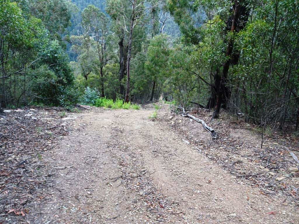
The good news is the Mitchell Creek Track has been cleared pretty much all the way to the river. The last half a kilometre of very steep going is really only suitable for 4WDs (probably equipped with a winch – be warned). However you could drive along with a normal SUV as far as the drop-off pictured then walk from there. At the moment there is a deep puddle about 100 metres further back where you should probably stop.
The last 300 metres is suicidally steep.
The track therefore gives access to a 3-3 1/2 hour pack rafting trip showcasing the best rapids on the Thomson and finishing at the Cowwarr Weir (or the T2 Track off the Stoney Creek Rd for those with two serious 4WDs)! Getting out at the gauge on the T2 will cut off about 40 minutes of mainly flat water, but be warned that track is also very very steep and should only be attempted by 4WDer who really know what they are doing and are well-equipped – likewise the last .5 km of the Mitchell Creek Track
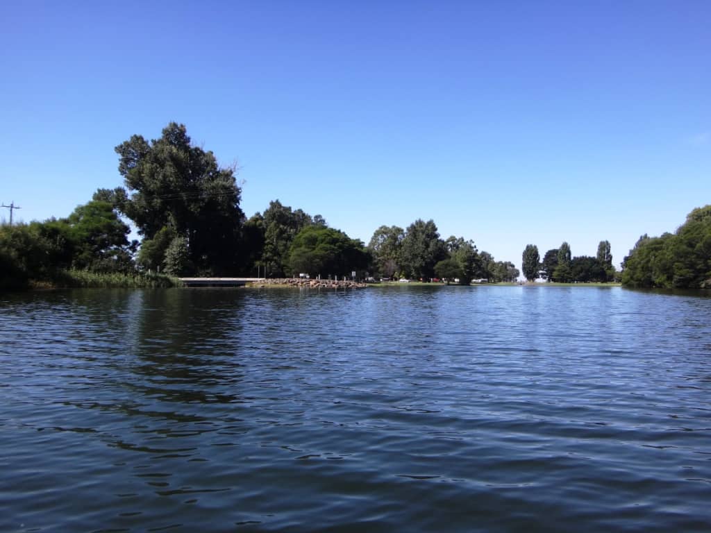
If you were camped or picnicking at the Cowwarr Weir – a lovely spot with fishing, swimming BBQ, lawns, shade, toilets etc you could enjoy two trips per day down from the Mitchell Creek Track or three if you exited at the T2 Track.
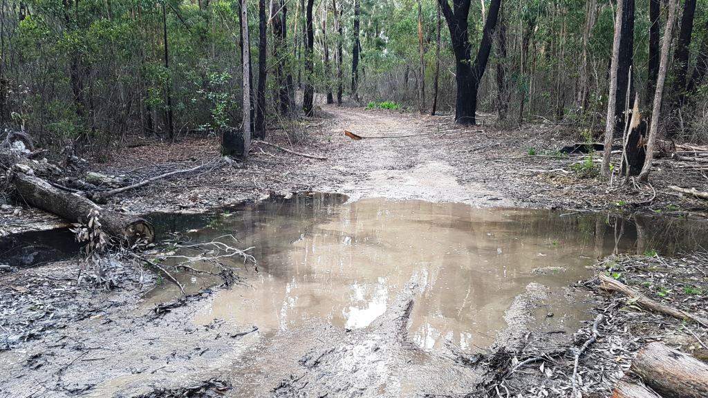
Stop at this deep puddle if you only have 2WD. You can only safely drive another 200 metres anyway.
But 200 metres of easy going like this.
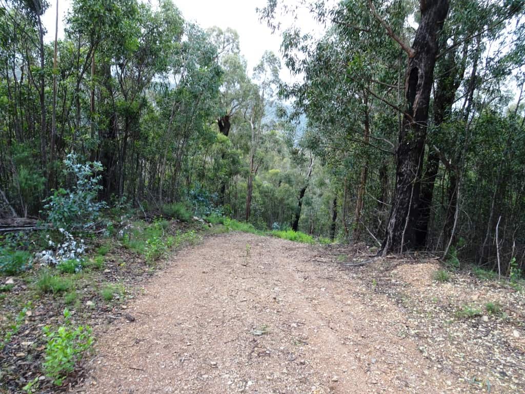
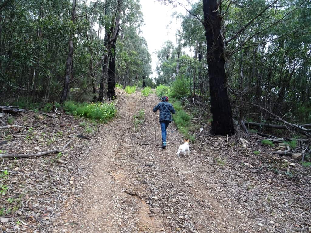
Probably stop at this first drop-off (below). It is hard enough to get back up it anyway.
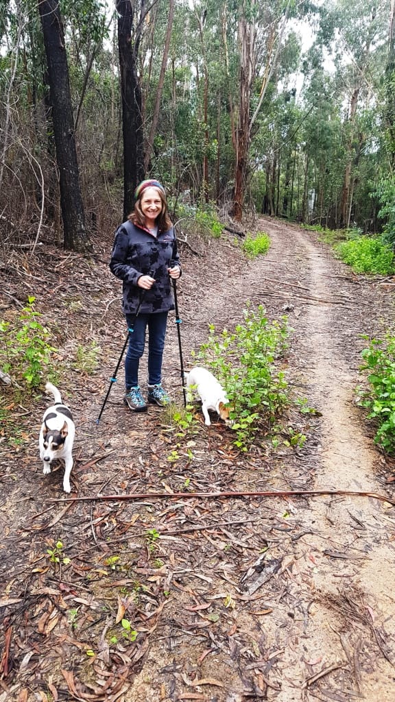
Here is Della walking up the first steep section after that drop-off above.
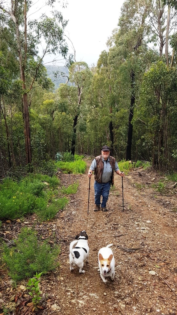
And me below her. It only gets worse (first photo above – and should almost certainly not be attempted).
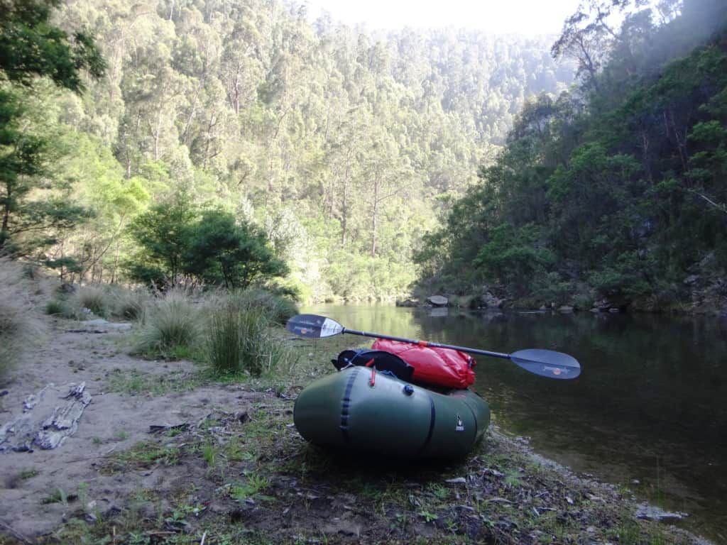
The track is a short steep walk down to a pleasant point with a small flat on which a tent can be erected underneath some shady cottonwood poplars.
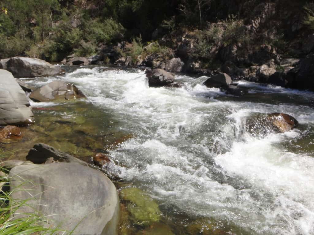
You put in your pack raft there. It is about twenty minutes of flat water above the Triple Stager rapid, the most spectacular (and dangerous) rapid on the Thomson. It is about 200 metres long. It is most definitely at least a Grade 3 rapid! It can be inspected fully from the true right bank (ie right hand side looking downstream).
It is possible to ‘sneak’ down along the right-hand side past the first two stages and even exit just above the last (fatal) stage for a quick portage. If you fall out on the second stage you are likely going to bounce dangerously down the third stage, so do be careful!
If you are going to ‘run’ the last stage you need to approach it from the left of the stream and quickly swing across and go down the right channel being careful to miss the large rocks in the middle which will have you out. If you do fall out here, you can get back in downstream of the rapid on the right hand side.
Looking upstream at the third stage.
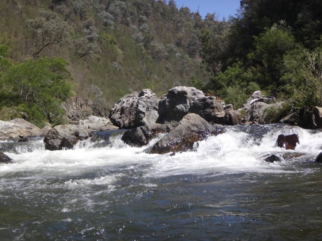
The next Grade 3 rapid about half an hour further along is the Boulder Rapid. You can inspect or portage it quickly and safely from the true left bank. You need to come down the centre chute in the final drop or you will land on those rocks on the right of the photo and likely break your arm.
The rapid has a very very quick left hand then a right hand turn, then the drop. Do inspect it first. It can be fun. I have sometimes gone back up two or three times for another ‘go’ but be careful. You are a long way from help.
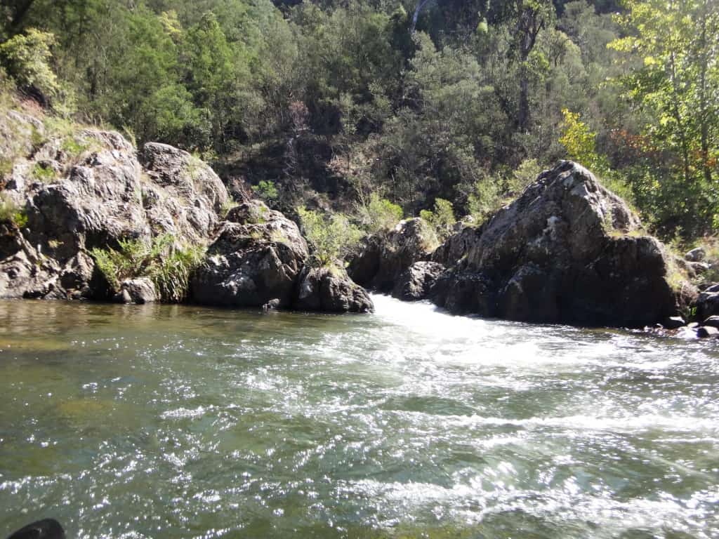
The last Grade 3 rapid is the Chute (where the river gauge is – T2 Track). You can go swimming here. Some people swim through the rapid – which I would not recommend.
The entire river whips through a <2 metre wide chute between large rocks very, very quickly. It begins in a deep pool (just after the gauge staircase) which you should enter on the right hand side looking out for the chute on the left hand side. You need to be lined up for it exactly and be ready to hold your paddle vertically as the chute is not wide enough for a double paddle!
This is the last major rapid. there are a few pebble races and much flat-water paddling which can be a trial if the wind is blowing strongly up the weir.
Hope you have a great pack-rafting day out.
PS: For a longer trip there used to be a bulldozer track down to the river at the end of the Marble Quarry Track (and probably still is – Marbele Quarry is also probably 4WD only). This put you into the river opposite the end of the T8 track (currently closed) just above the beginning of the Gorge. Starting in this vicinity is a great single day adventure. You also used to be able to put in mre easily from the end of the T8.
PS: They have been doing a lot of work on the other side of the river. there is a new bridge across the weir leading to the Stoney Creek Rd which has been extensively upgraded. it is much quicker and easier to go up or down it at present than McEvoys Track (Springs Rd) if you are going to the Springs, Mt Useful, etc. The T1-7 tracks have been opened and cleared, looks like. It may be possible to access the river from the 6 or 7 (used to be), but a bit of a walk.
For a full description of this section of the river read How Green was My River. For the first section coming down from Brunton’s Bridge read Only the Moon and Me.
Other posts about the Thomson River:
http://www.theultralighthiker.com/two-days-canoeing-the-thompson-river/
http://www.theultralighthiker.com/canoeing-the-thomson-river-gippsland-victoria/
Ultralight Hiker Thomson River Canoe Trip 2006 (Video):
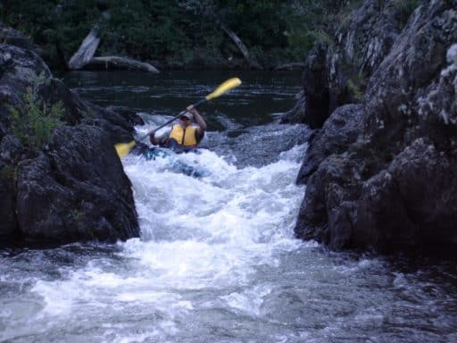
As a foretaste, here is Steve powering down one of the Thomson’s signature rapids:
http://www.theultralighthiker.com/thomson-river-canoe-trip-2006-video/