A friend of mine (Leanne) and companions walked there last weekend reminding me of our trip there twelve years’ ago, not long after the 2007 fire. The bush has changed a fair bit since then. She kindly shared their photos with me, so I have been able to construct this photo essay about the trip for your edification.
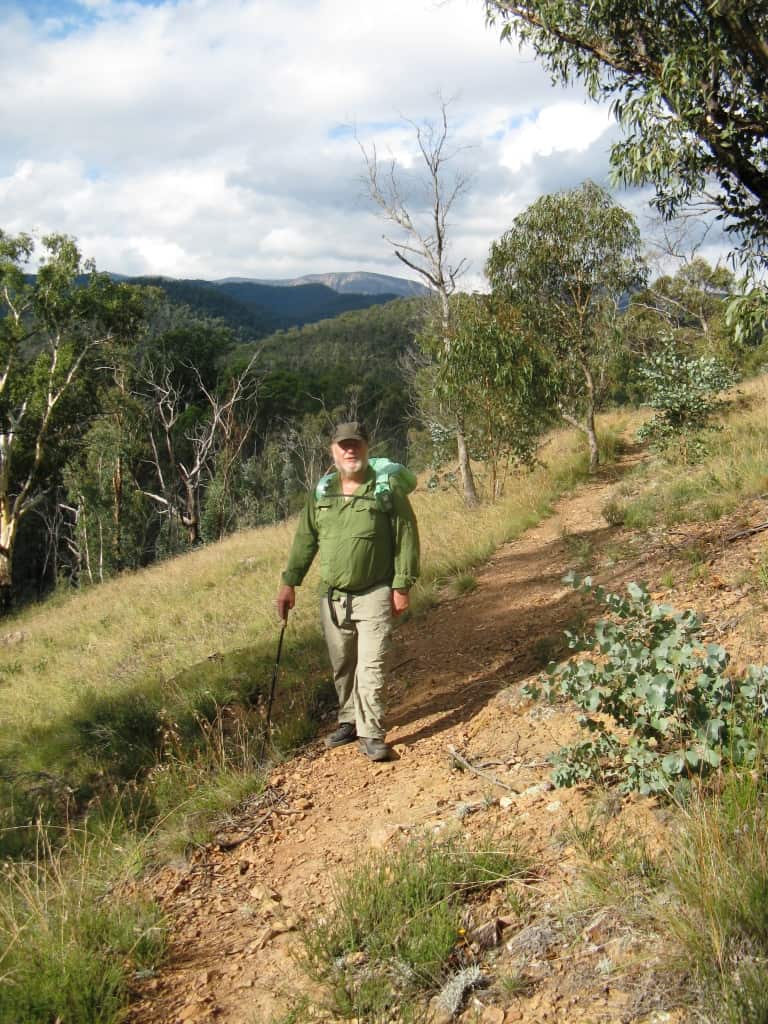
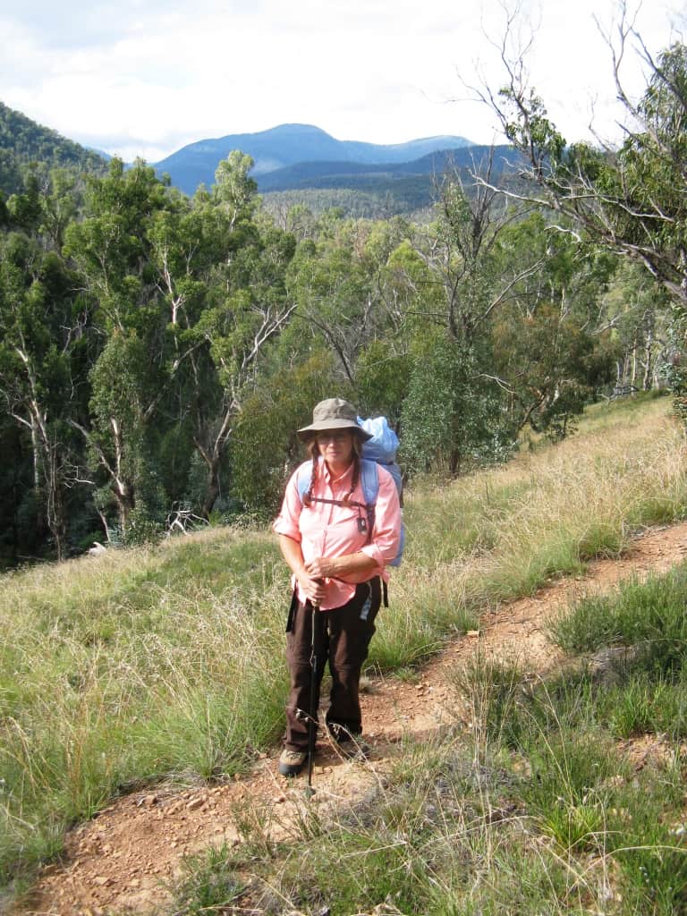
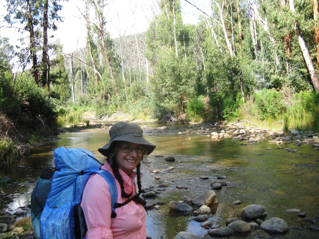
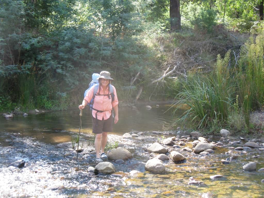
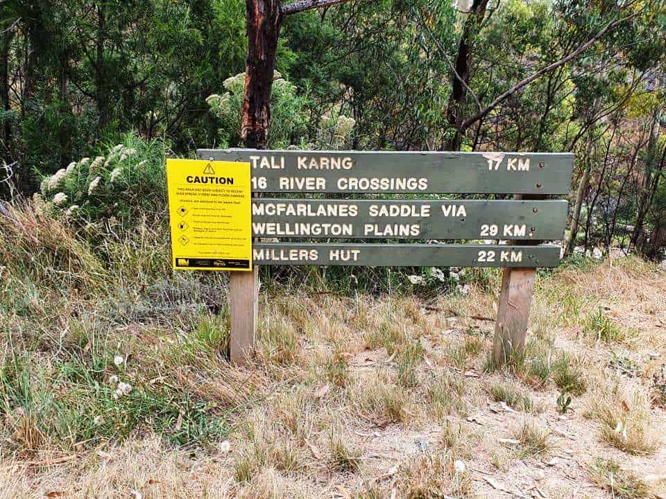
They started her trip (as many do) at the McFarlane Saddle on the Moroka Rd and finished at the Wellington River Bridge. She took three relaxing days for the 30 km trip. Walking in this direction makes most of the trip flat or downhill. It is approximately 13 km in to Tali and a further 17 km to the Wellington River Bridge (including 16 river crossings).
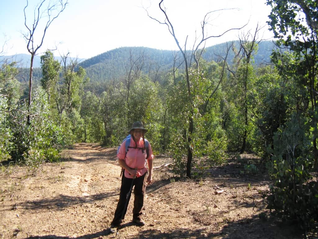
Many people just walk up from the Wellington Bridge (or the B1 Track – shorter) and back again as Della and I did. If you are young and fit you can walk there and back from the B1 in a day though why you would be in such a hurry I can’t imagine!
It is only a thirty or so years ago that we used to drive in along what were then 4WD (logging) tracks deer hunting. I remember being in there in my old (1981) Subaru Leone circa 1984 with my foxhounds.
It is (alas) just a pile of rust in the paddock today (and the beloved hounds but a memory) but on that day I towed a Toyota Land Cruiser through a couple of difficult sections with it. I missed a stag right by the lake with Harpoon in hot pursuit!
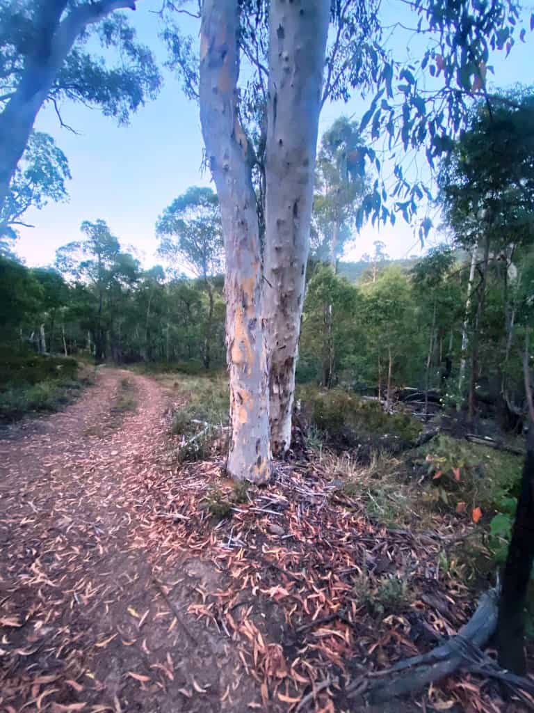
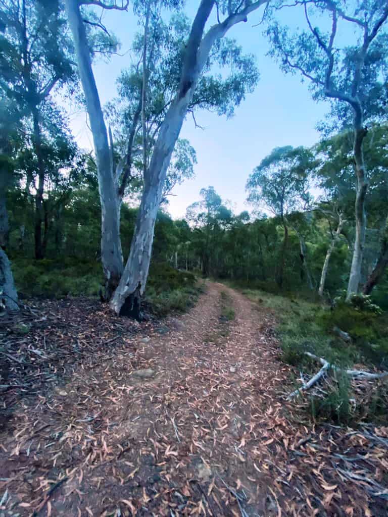
Mostly the walking track follows the old 4WD tracks – except the section through the so-called ‘Valley of Destruction’ below the lake, the remains of the gigantic rockfall which created the lake in the first place a millenium or so ago.
Some of these 4WD tracks can still be driven after the B1 Track river crossing (as you can see from the photos): you can drive in to more or less the bottom of the V. of D. and only spend an hour or so each way having a look at the lake. I have no idea whether this is still legal, nor do I care overmuch. I never thought government was such a great idea in the first place!
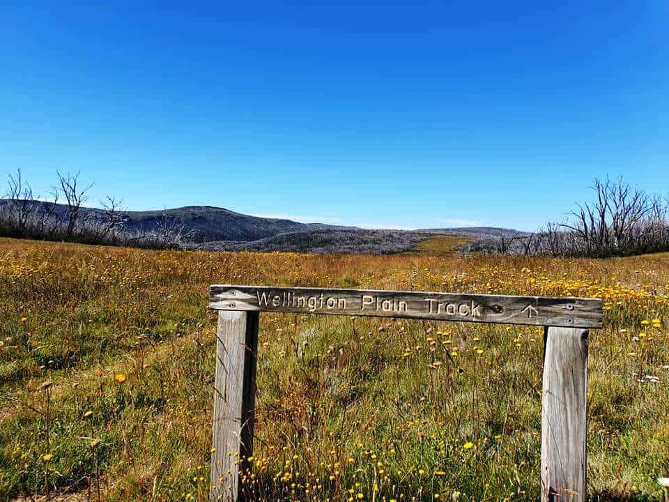
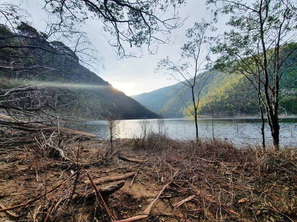
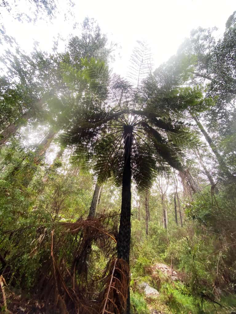
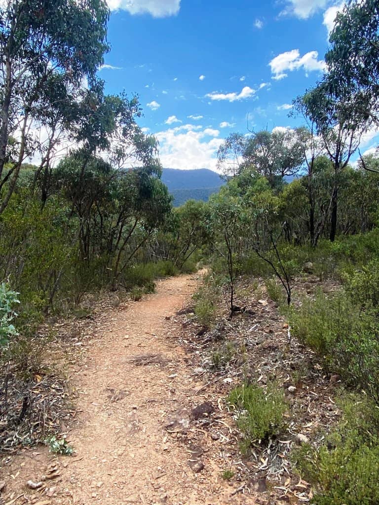
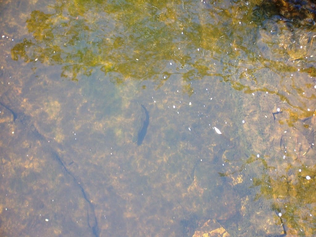
The trip divides into (roughly) four sections: crossing the Wellington Plains, the descent into the lake, the descent through the Valley of Destruction, walking out along the Wellington River. Trout can be caught!
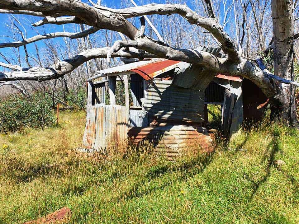
A symptom of DOC neglect – an old cattleman’s hut which would still make good emergency shelter. When we used to go in there deer hunting there were a number of huts.
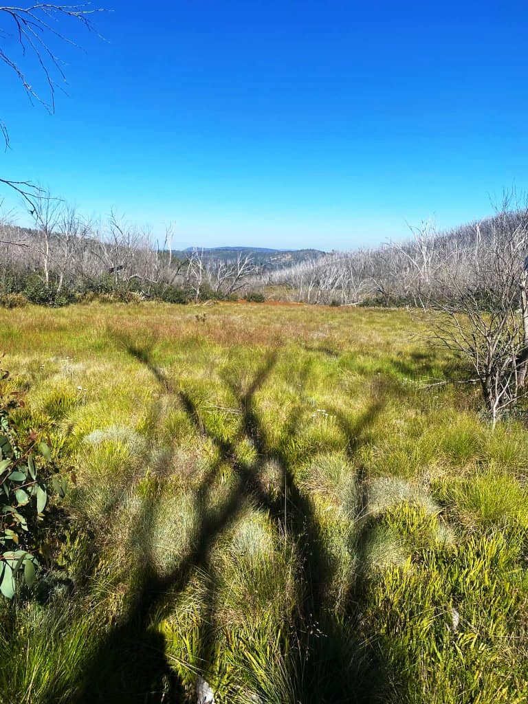
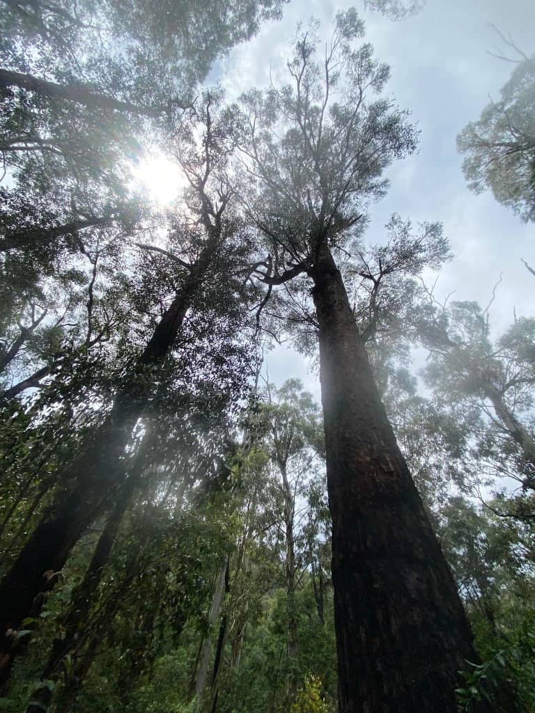
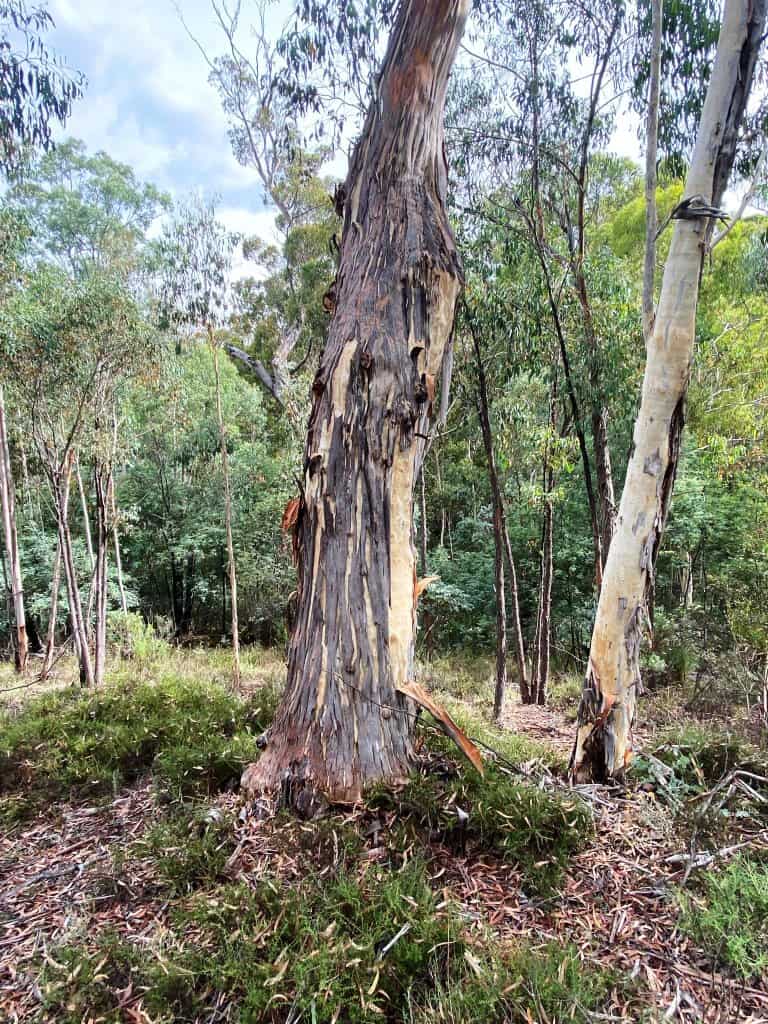
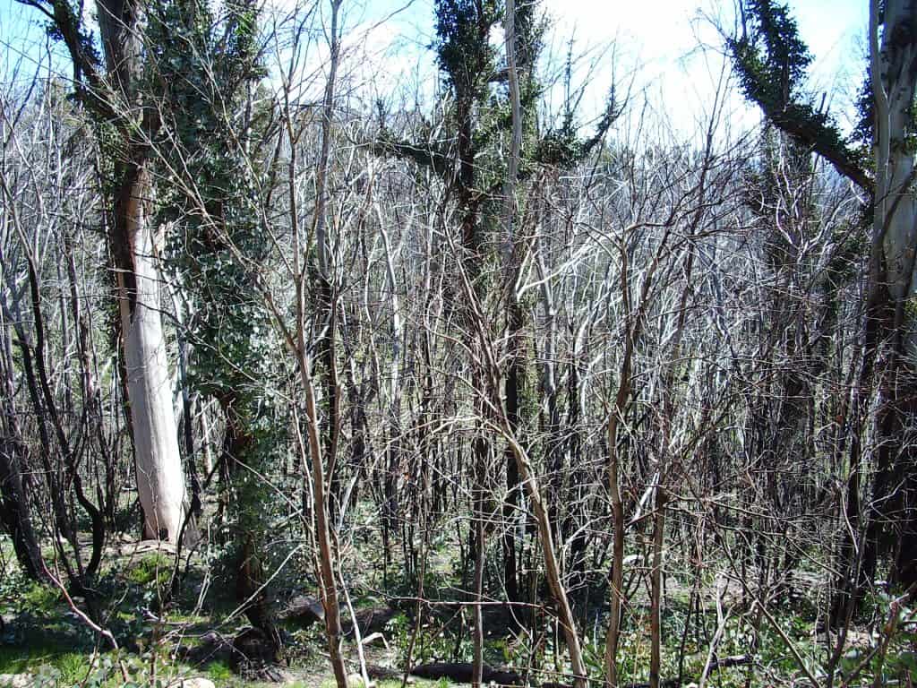
The snow gums were killed way back in 2007. The plains were caused by (a secession of) fires totally killing them
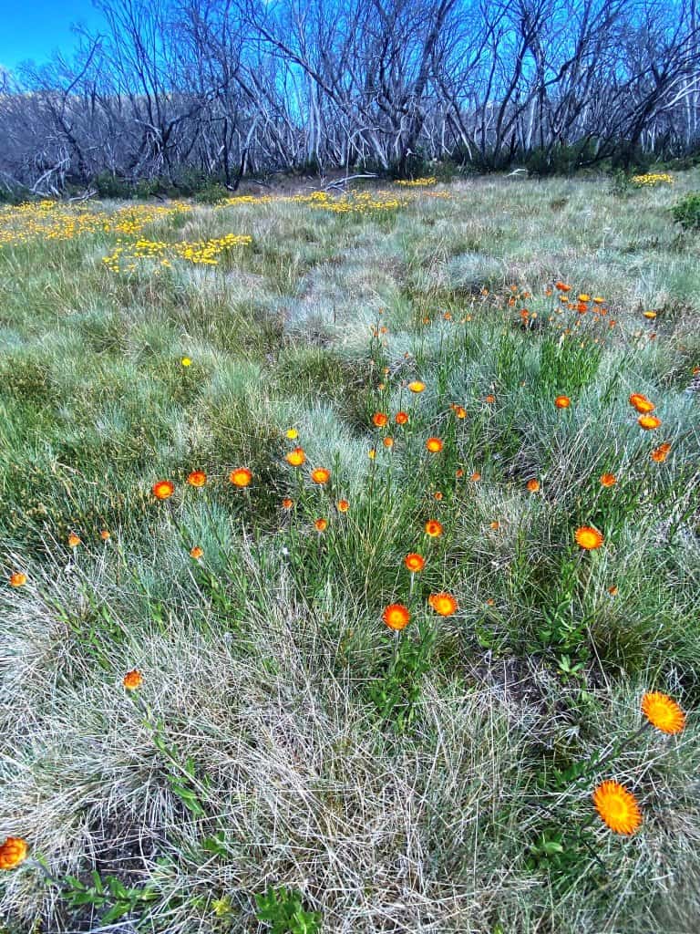
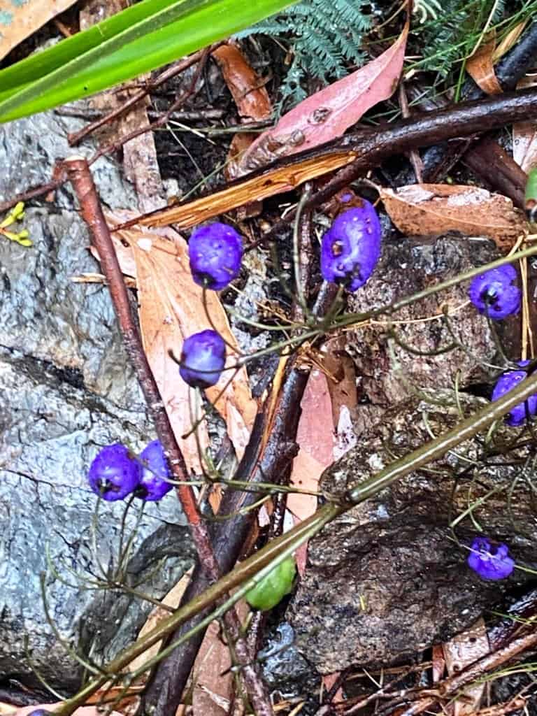
The plains are so often a wonderful carpet of wildflowers.
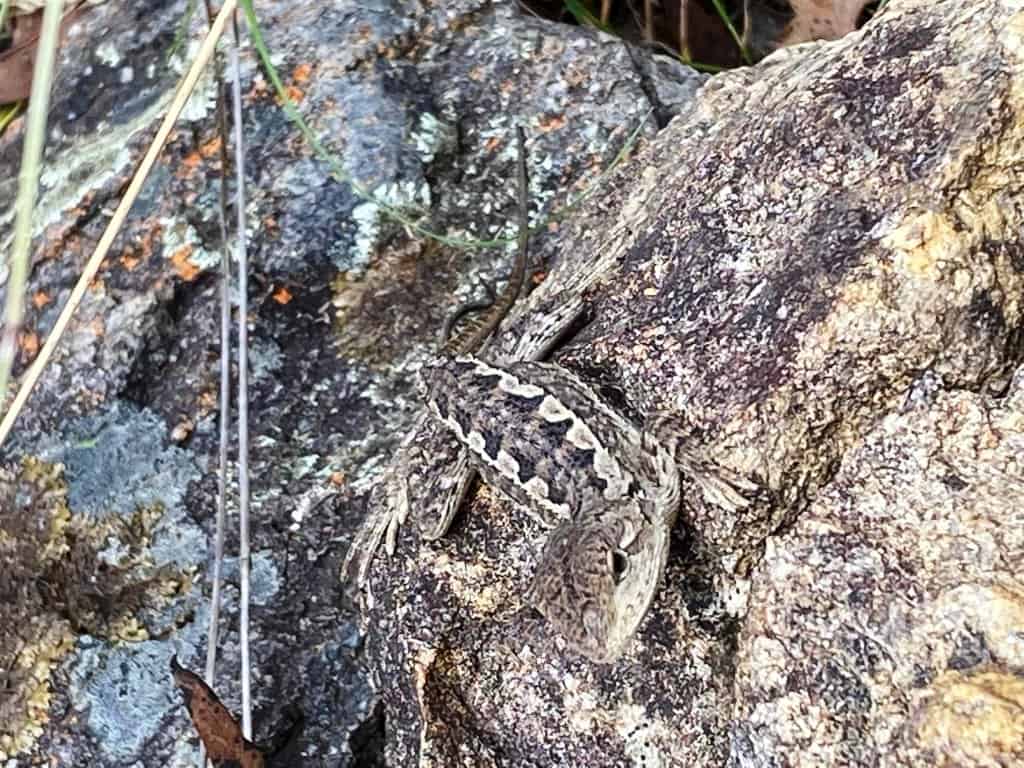
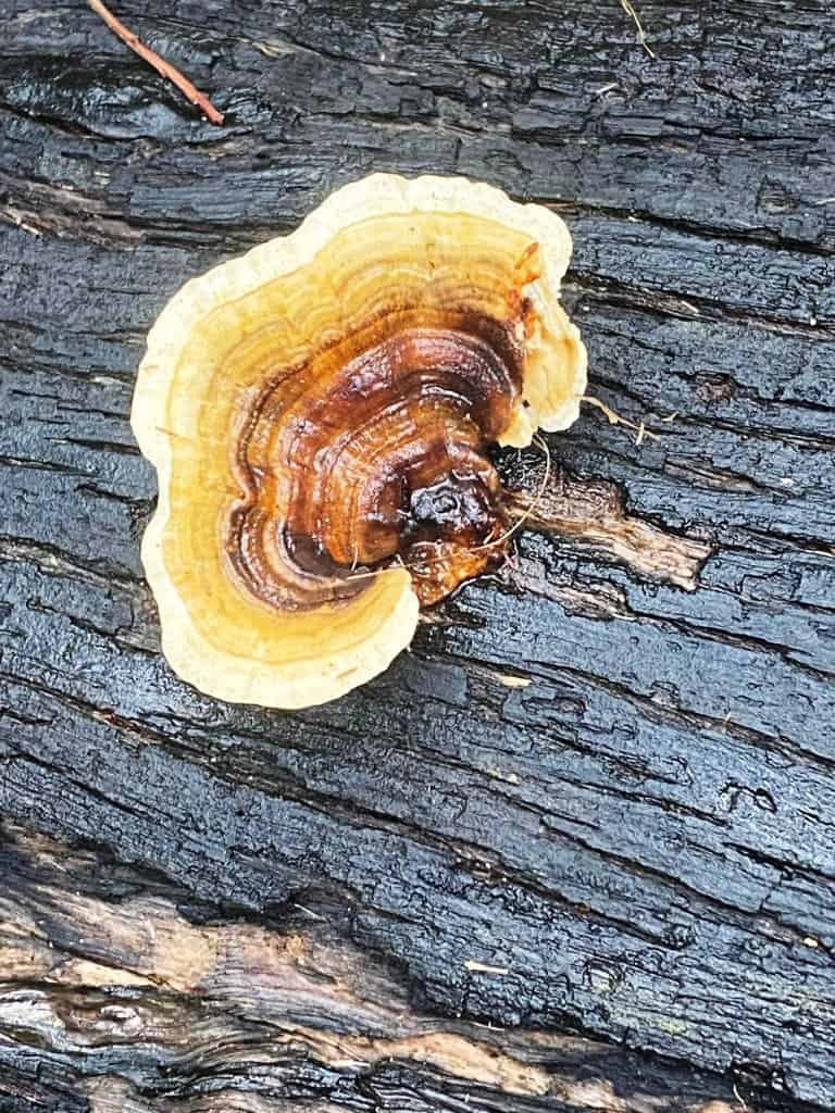
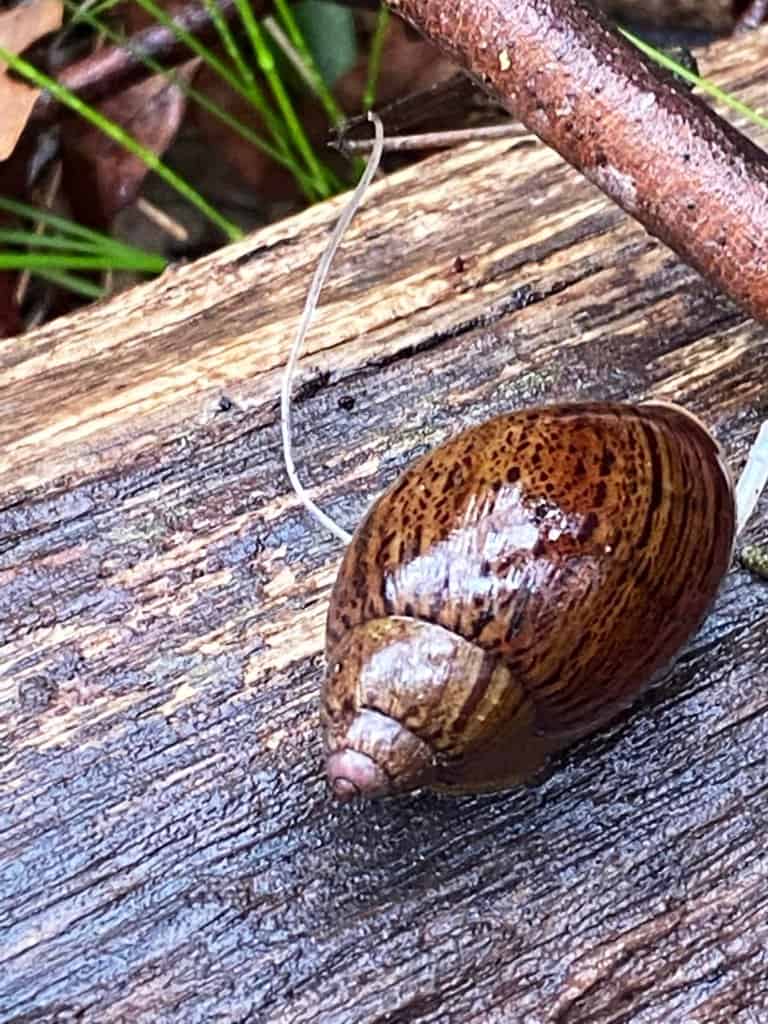
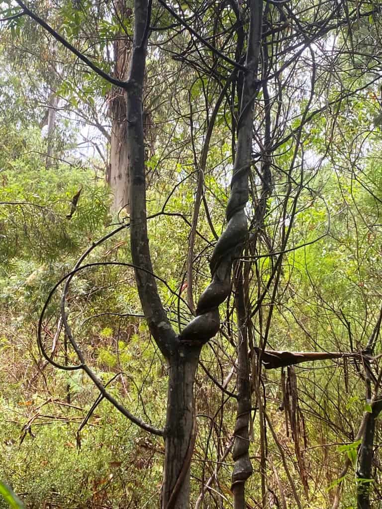
There are some interesting creatures to see.
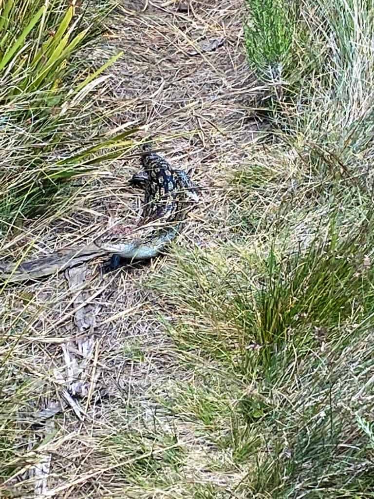
This one is a master of camouflage.
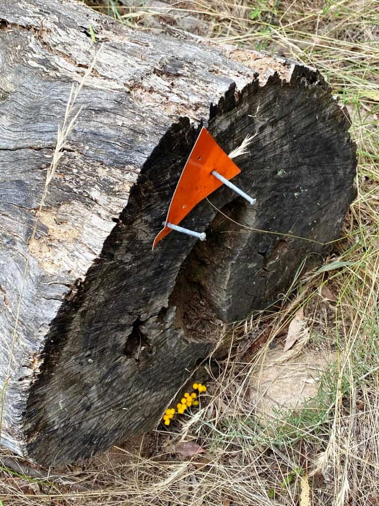
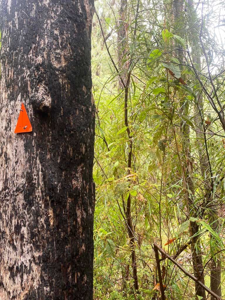
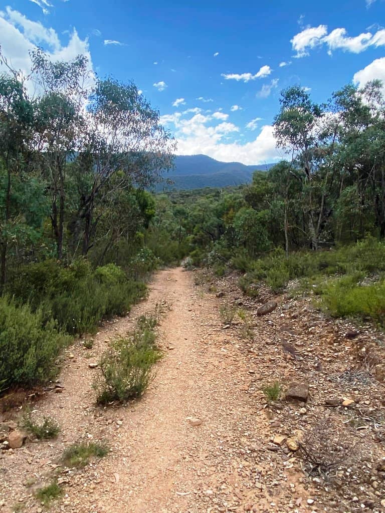
There are now signs to follow -which did not used to be the case, so you ought not get lost.
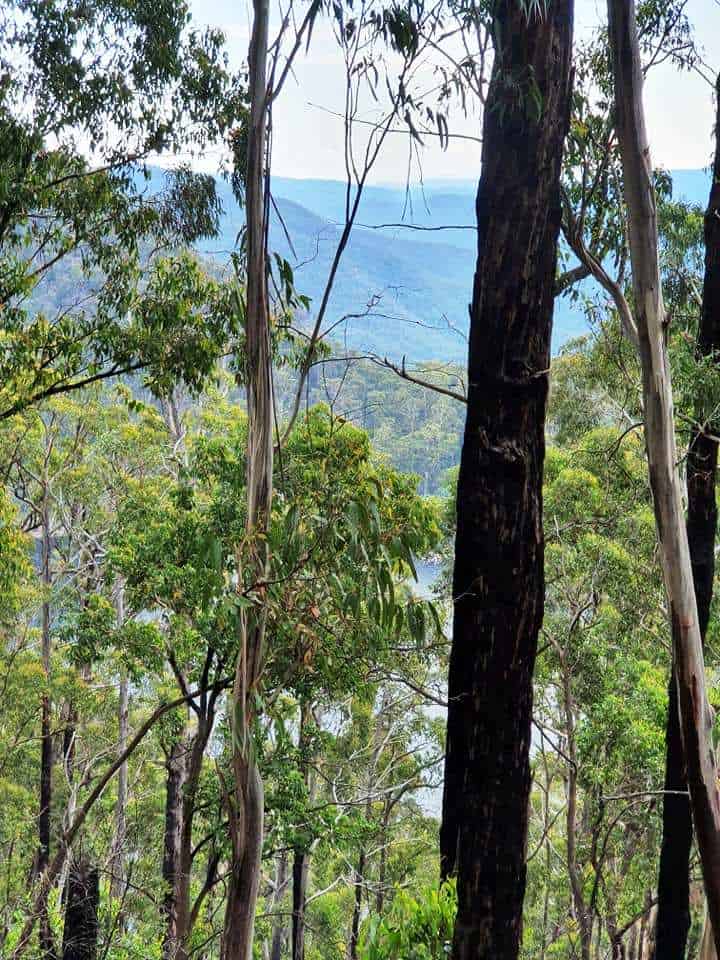
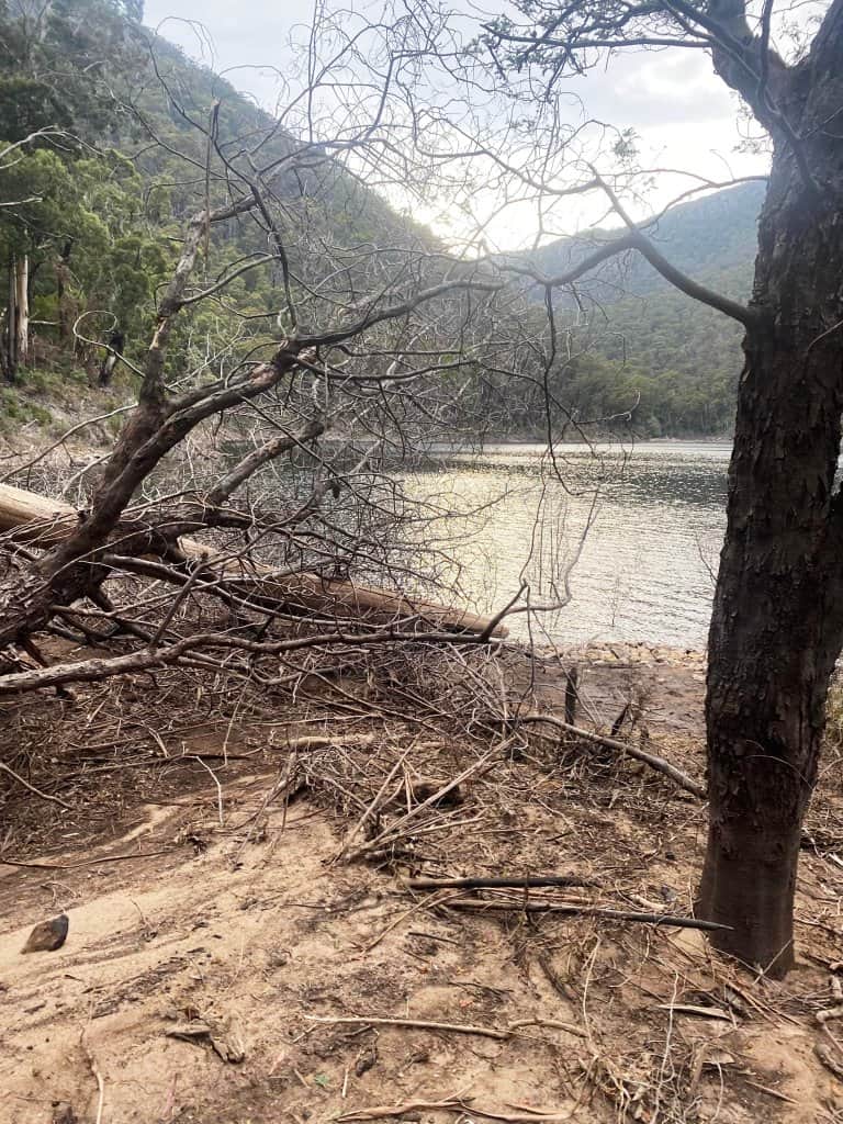
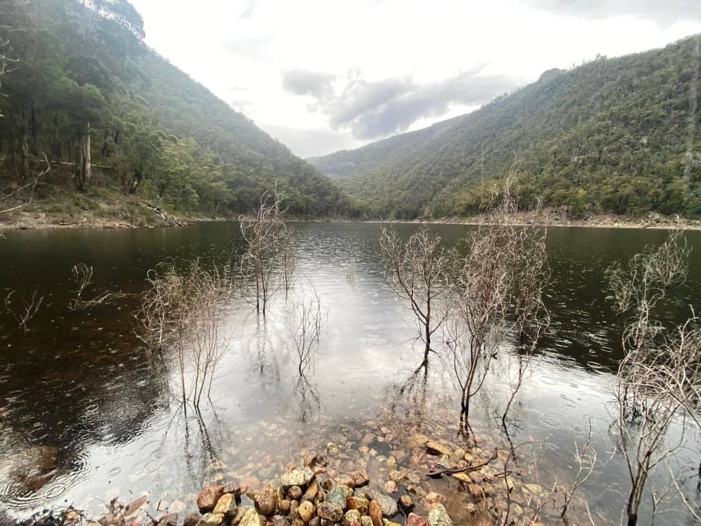
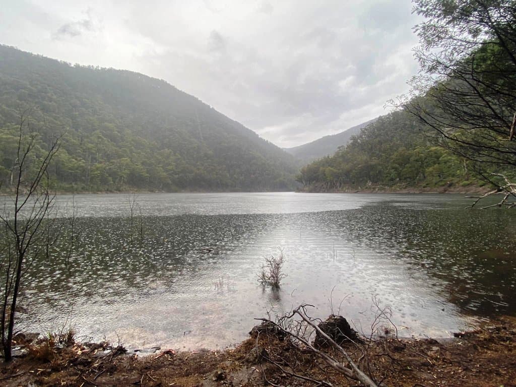
First view of the lake.
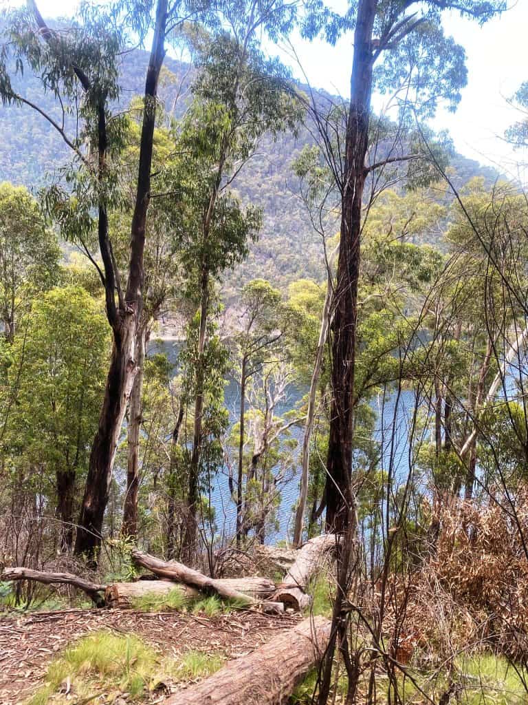
Descending to the lake.
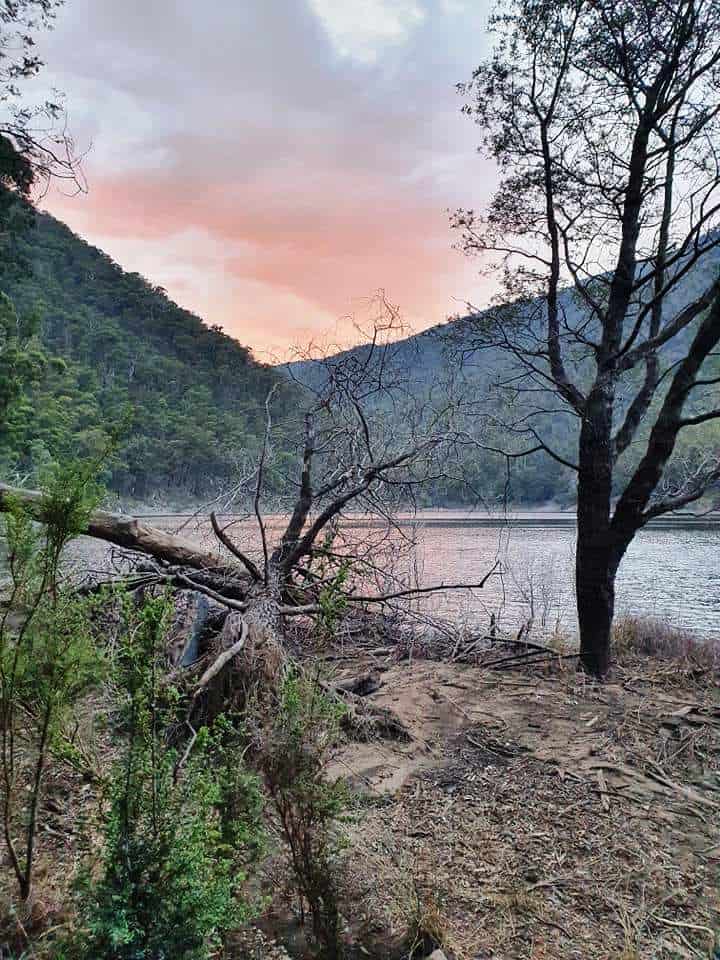
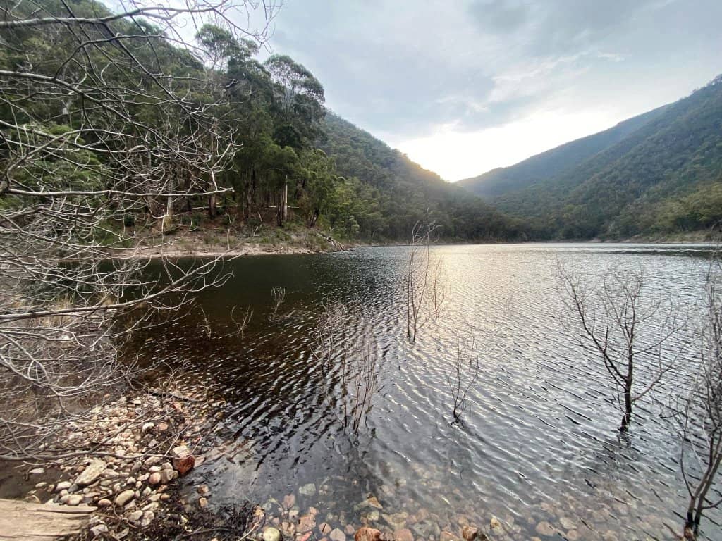
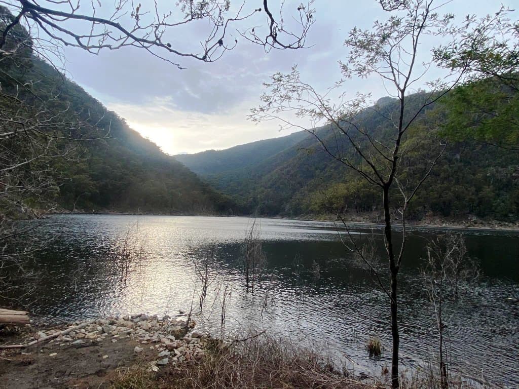
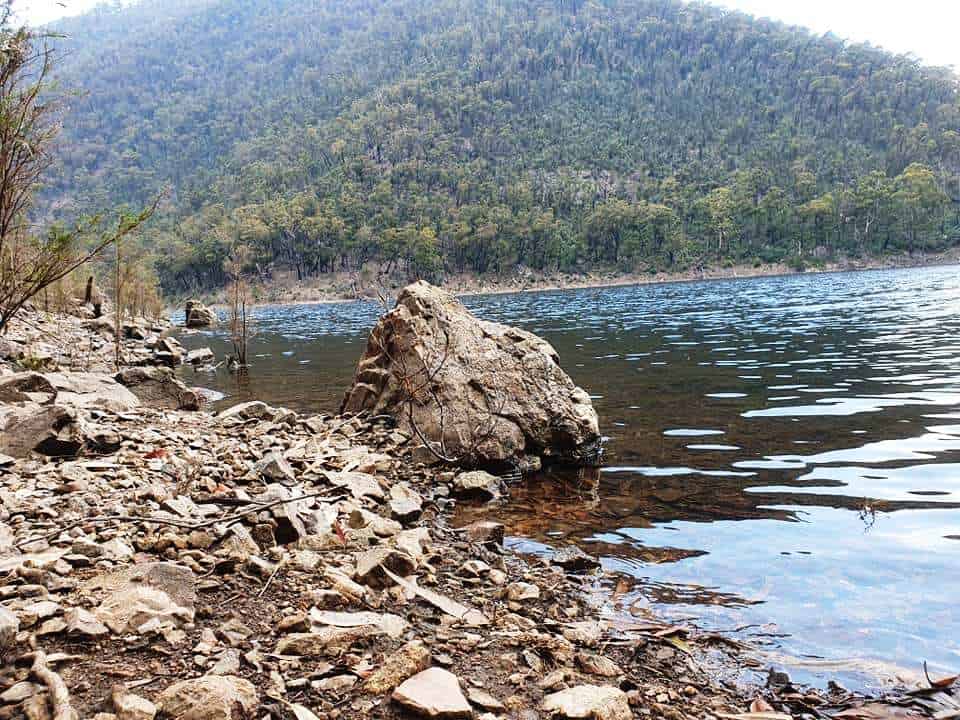
The surface of the lake is ever changing.
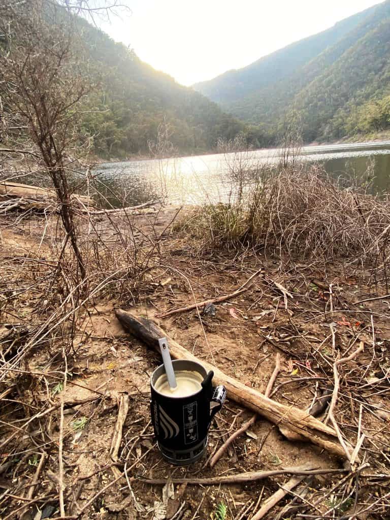
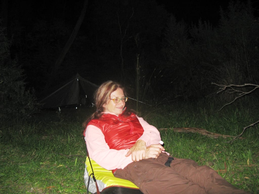
Time for a cuppa.
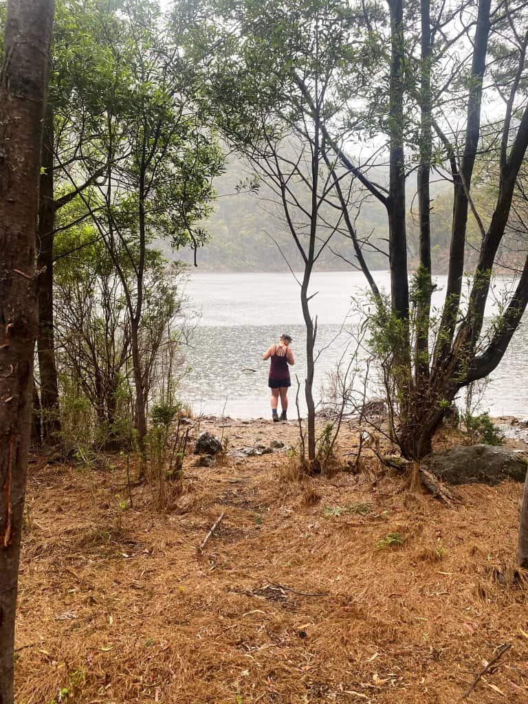
Time for a swim?
It can always come in to rain (or even blizzard) in the mountains – even in summer.
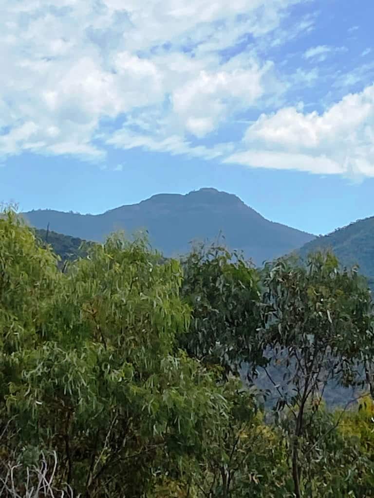
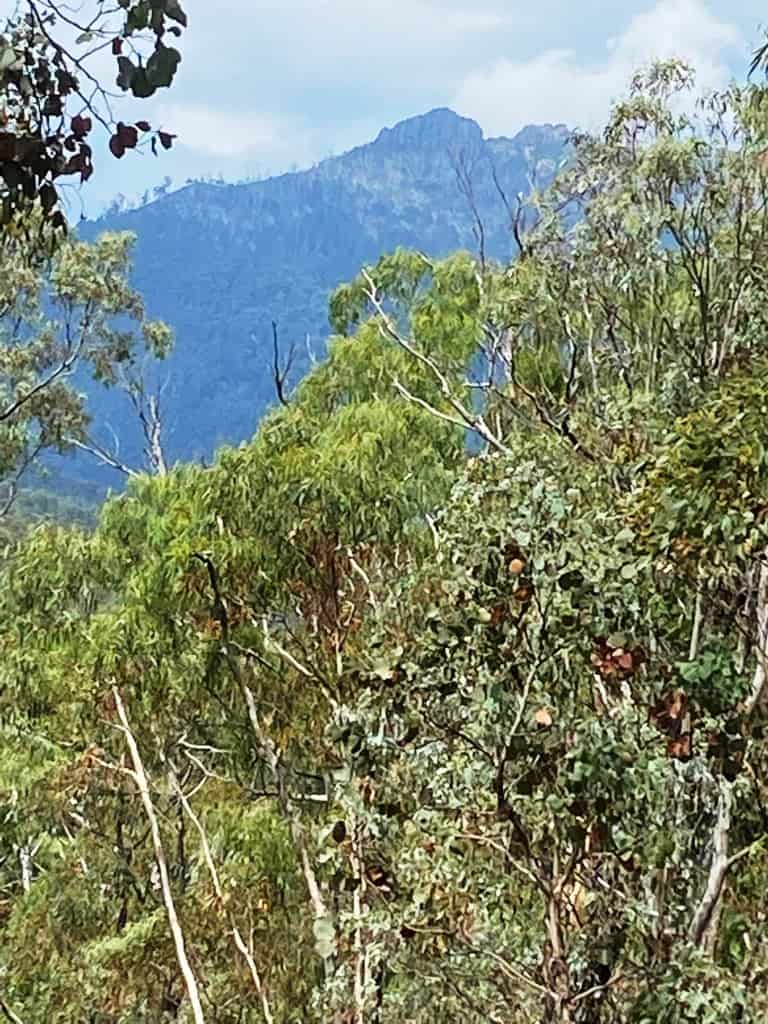
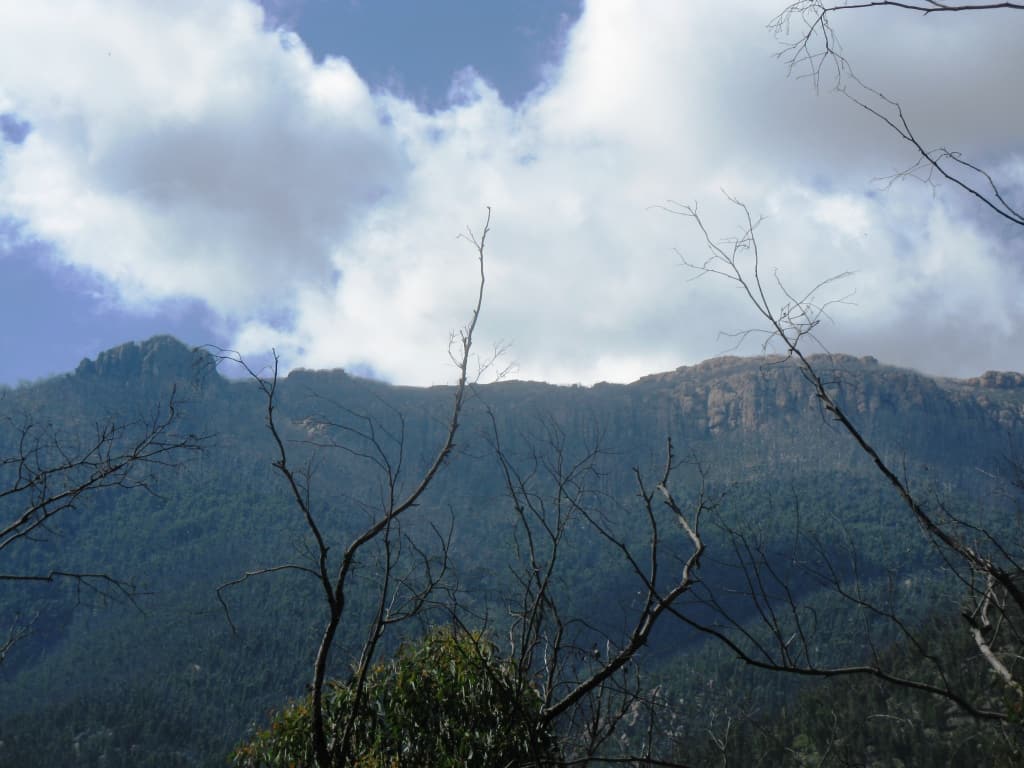
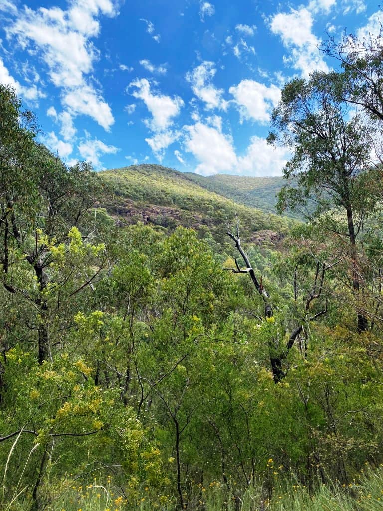
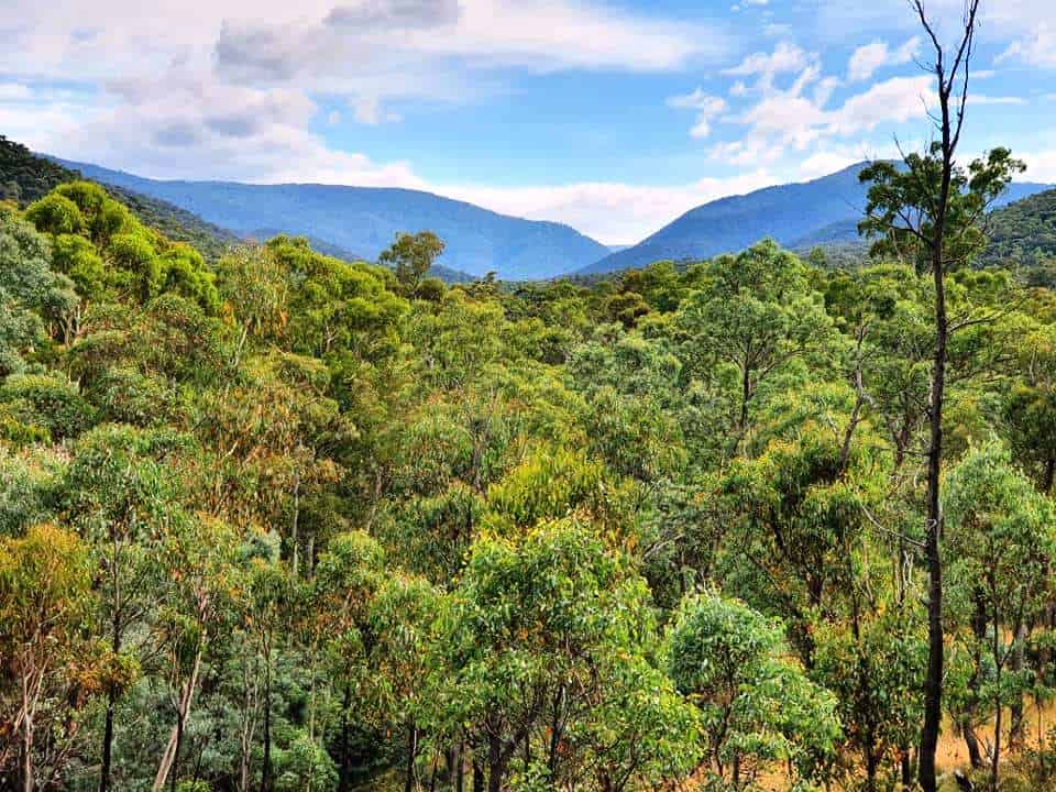
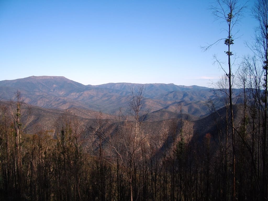
Mt Wellington. There is a great view of the Lake from the end of it. I have a photo somewhere.
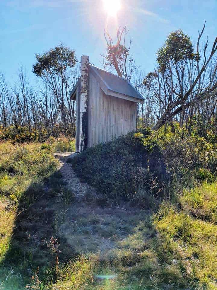
Great toilet views of the world.
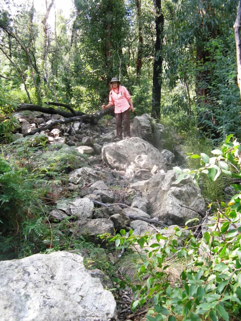
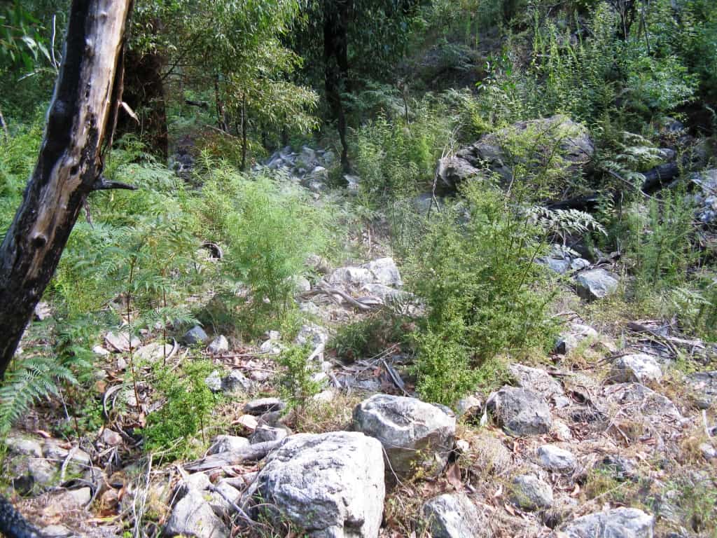
Into the Valley of Destruction
Della rock-hopping.
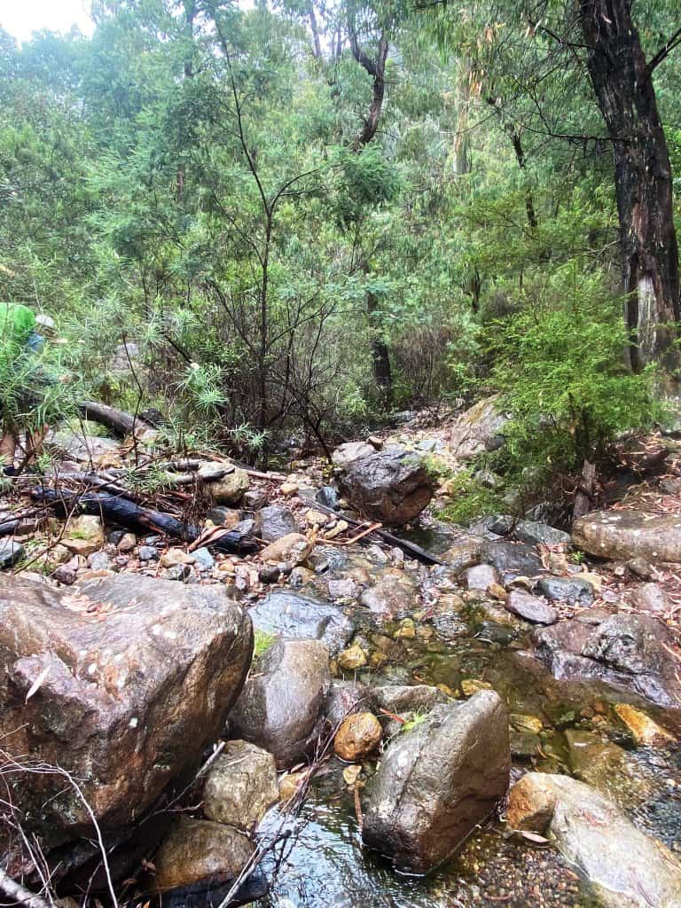
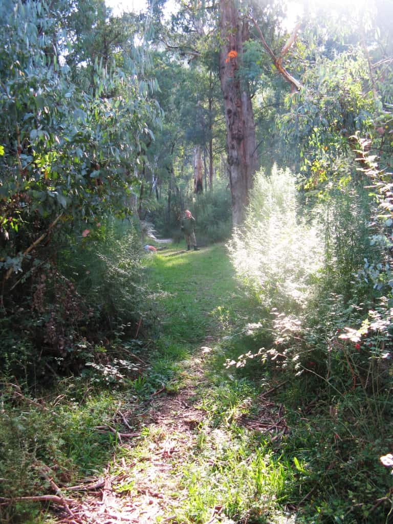
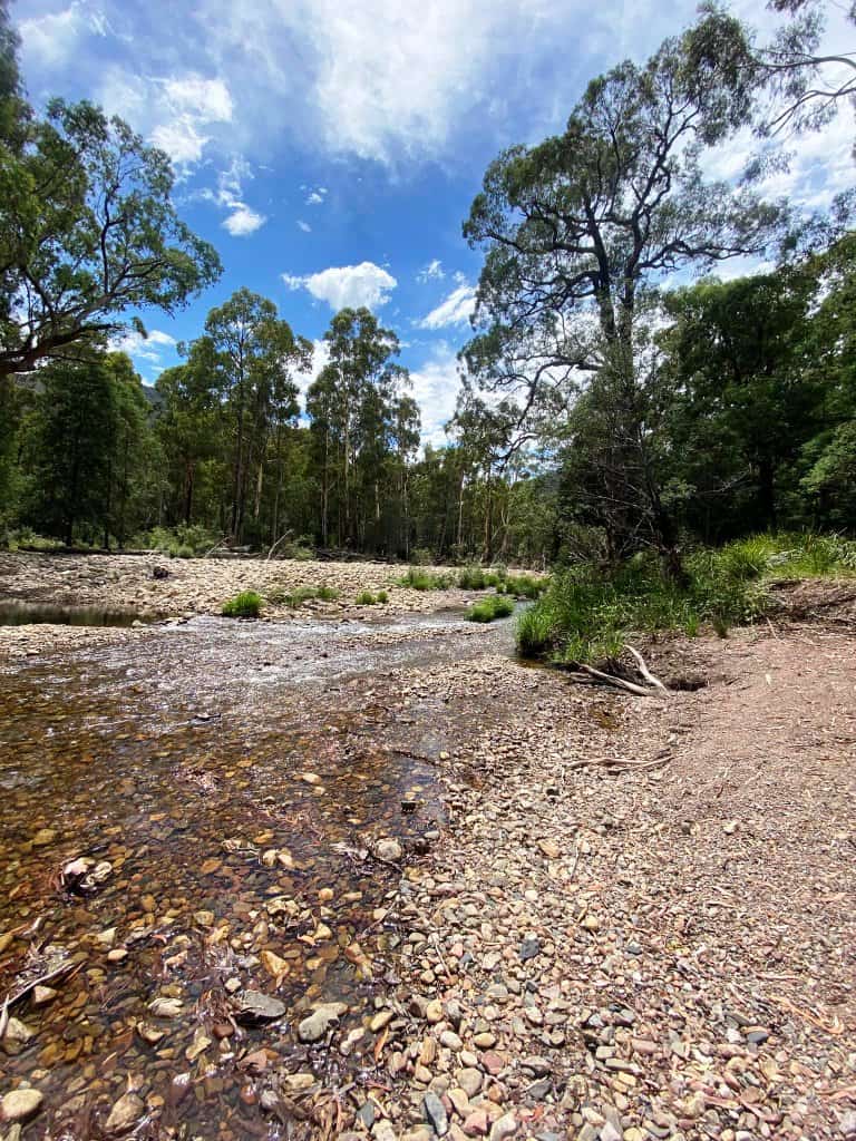
The bottom at last, and the beginning of the 4WD track section.
We camped along that section. Here Della enjoys a well-deserved swig of Bailey’s liquer.
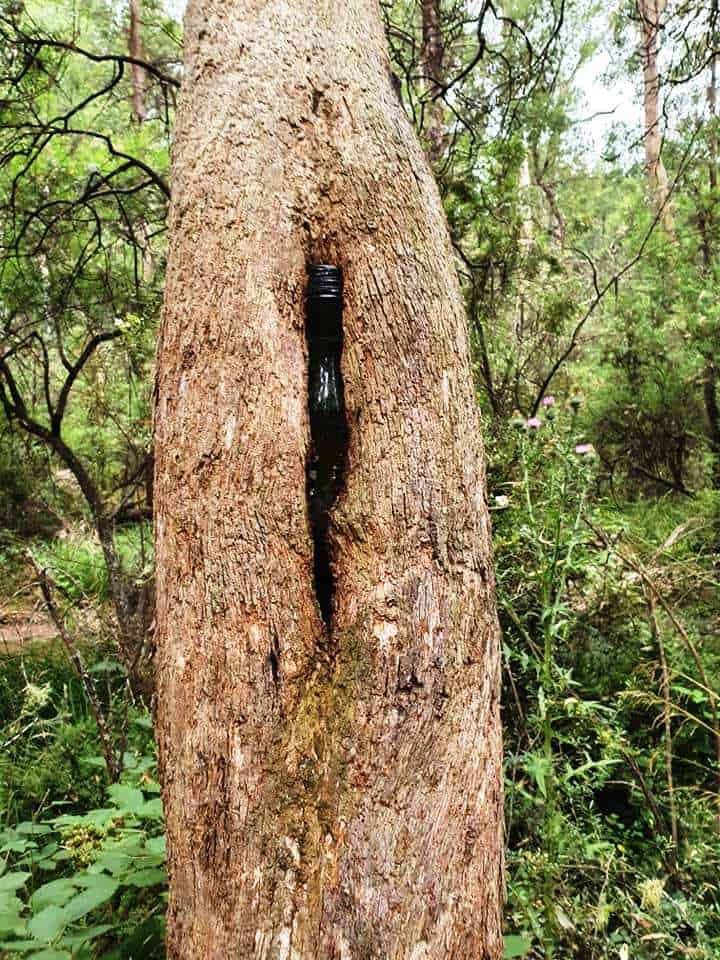
Someone else enjoyed a tipple along the way.
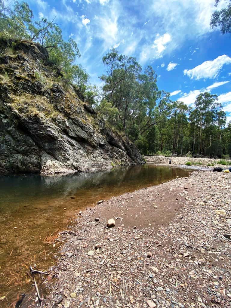
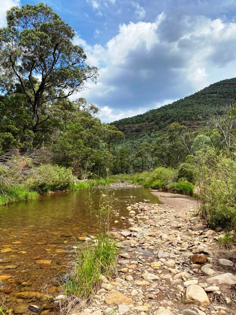
Views of the river below.
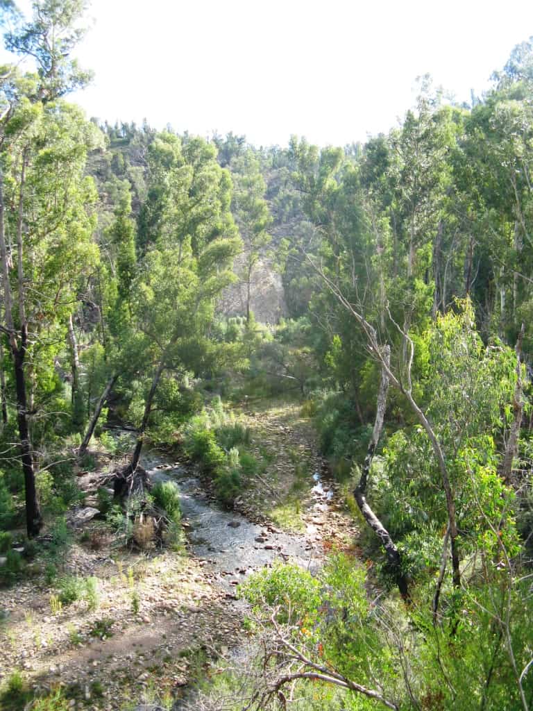
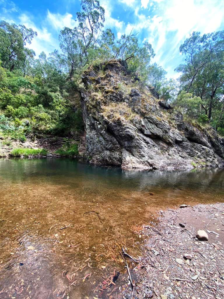
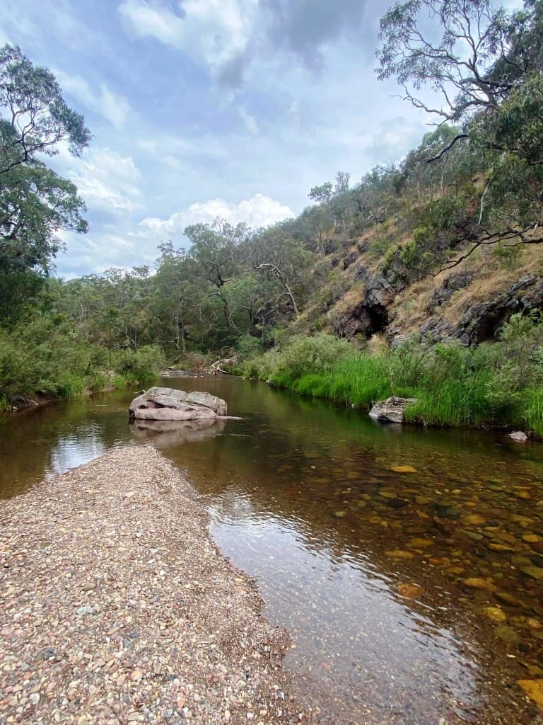
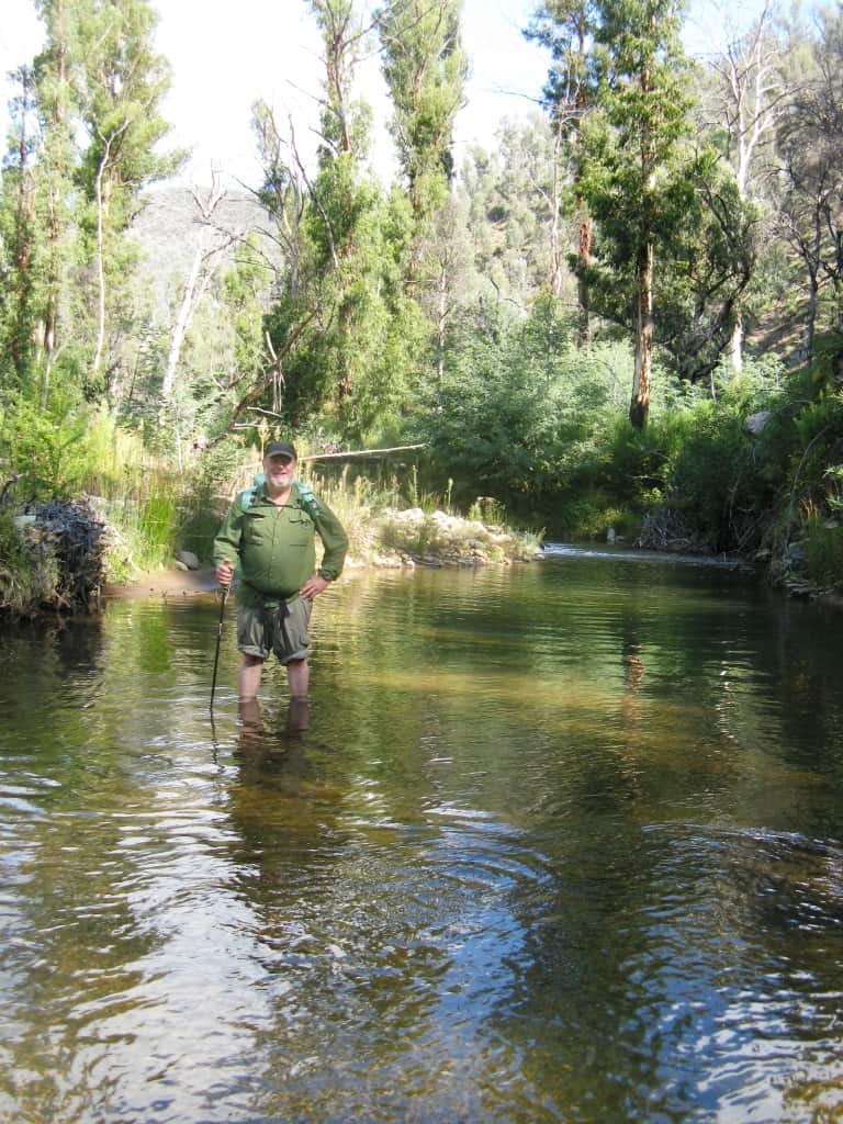
At last into the Wellington.
Finally the beginning/end at the Wellington Bridge.
In 2007 the country was burnt to the ground, like this. View of Mt Wellington from Bennison’s Lookout.
We drove around for a hundred miles and the only living thing we saw was this trout (amazingly) under the Moroka River bridge.
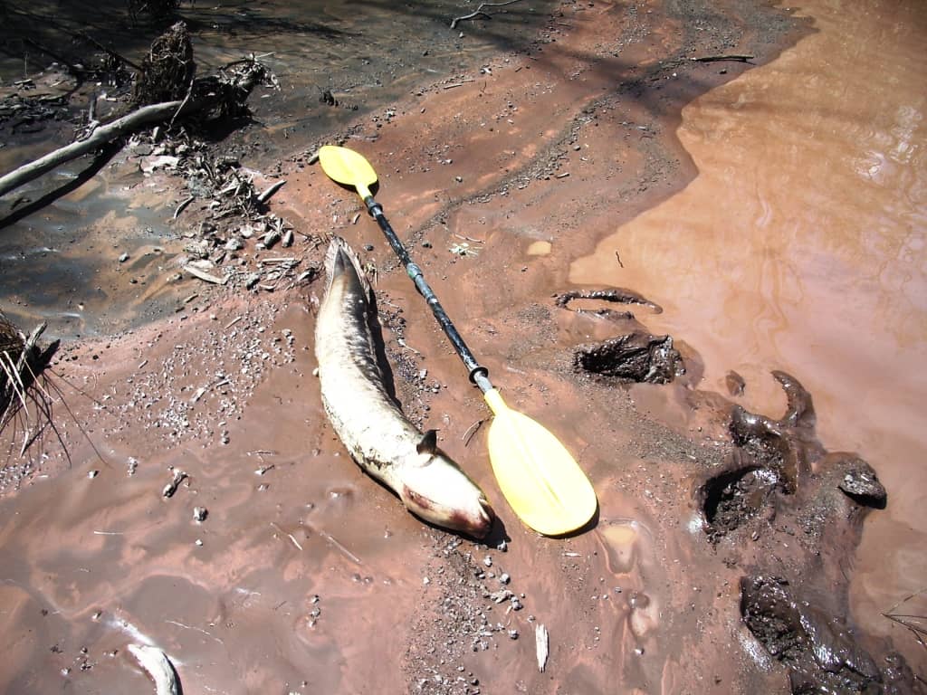
The fish in the Moroka survived the fire (the DOC did not use the fire suppressing chemicals there I suspect) but along the Macalister just over the watershed every fish was killed including giant eels like this one. As I have said before National Parks are a very poor way of ‘managing’ public lands. See Nuts to Leave No Trace.
PS: Thanks also to Leanne’s friends Mel , Allison, and Sharon who also supplied photos. Leanne says the Parks Vic distances are out substantially and that the trip is about a third longer than claimed – certainly it can certainly feel that way!
PPS: This trip can be included in a much larger more riverine circuit down the Moroka, up the Wonnangatta, down the Caledonia, up the Wellington…See Hiking Circuits in Gippsland
Well that bought back memories – first glimpses of the iconic Lake are really champagne scenery on the beer budget stuff at it’s best. Good seeing you cooling off in the river – seems way more flow in it than when I was there last. Always a fish under that bridge – a pity the massive dead eel (poisoned). Like how you broke the walk up into four stages – that really characterises it well.
You really must try a walk up the Moroka and Wonanngatta.