After sampling the first day of the Overland track we headed around through Queenstown to have a look at the last day. We had intended to catch the ferry to Narcissus then take in Lake Marion and maybe Pine Valley (where there is a hut) too – but we were wildly over-optimistic.
We allowed too few days and had not reckoned on so much driving. Tassie is only a small state but the roads are twisty and it still takes time to get from one place to another. So we settled for an early morning ride up the lake to Echo Point and the shorter walk back from there.
Even so it took us over four hours to walk back including stopping for lots of photos and lunch. The Lake St Clair Ferry service runs three times a day and costs $45 each (April 2024) to Echo Point.
At Echo Point there are four double wooden bunks (ie sleeps 8) suitable for folks who are good friends and have their own mattress. However coal and a pot belly stove is provided free – and you don’t have to book. The lake is also full of rainbow and brown trout, so plan to stay a while.
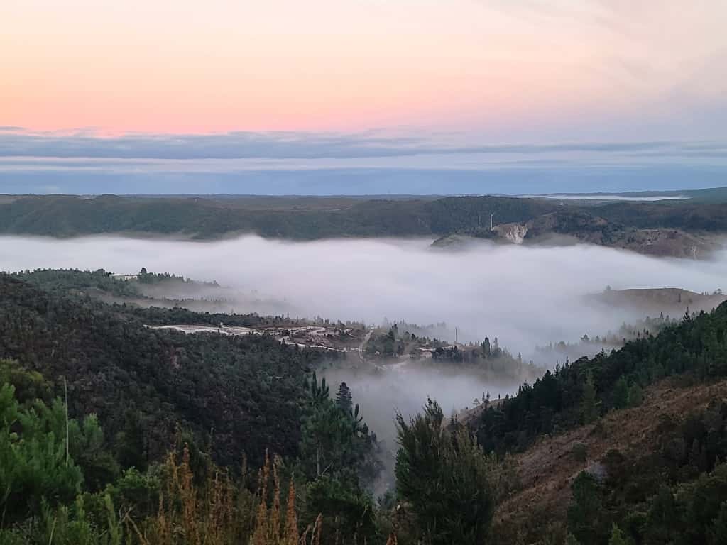
Coming up out of the fog in Queenstown. We stayed at the Mountain View Motel there – good, cheap and close to the town centre.
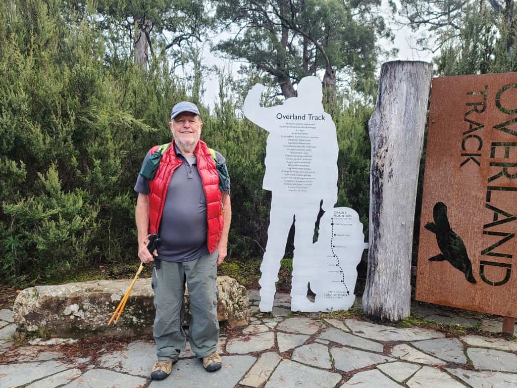
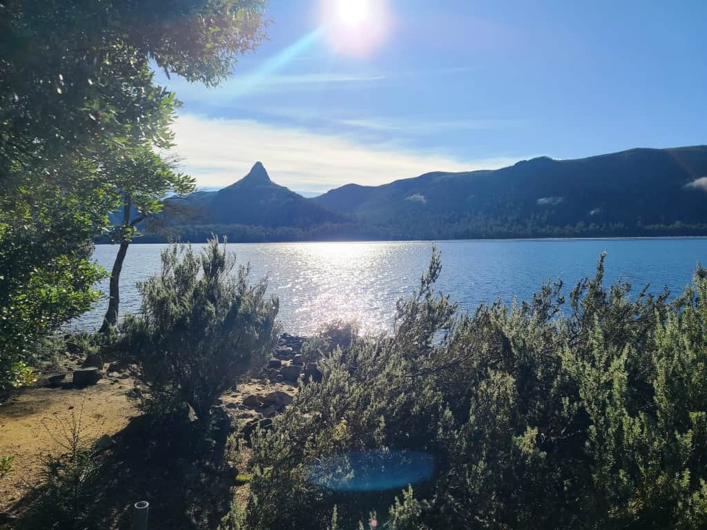
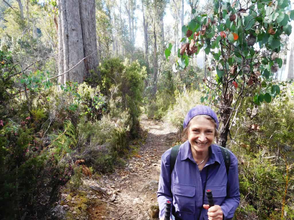
1 1/2 hours of winding road gets you to Lake St Clair where you must take this compulsory selfie – as if you were just completing a week’s toddle on the track.
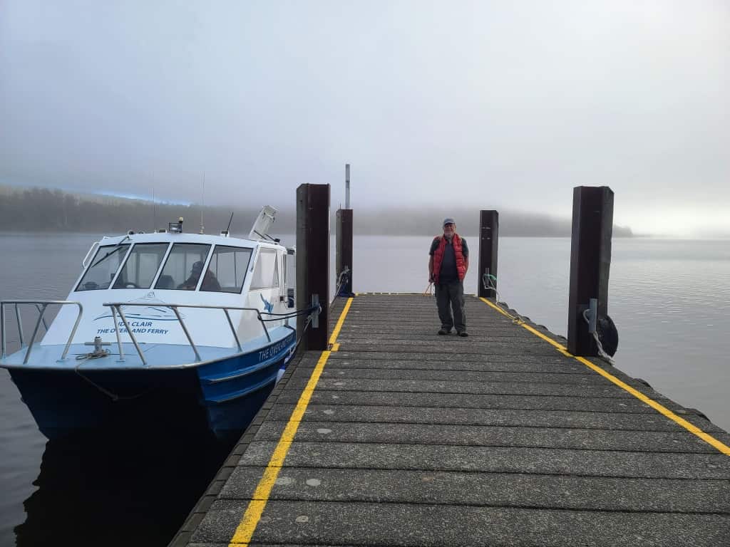
Waiting in the cold fog for the cat to whisk us to Echo Point at 9:00 am
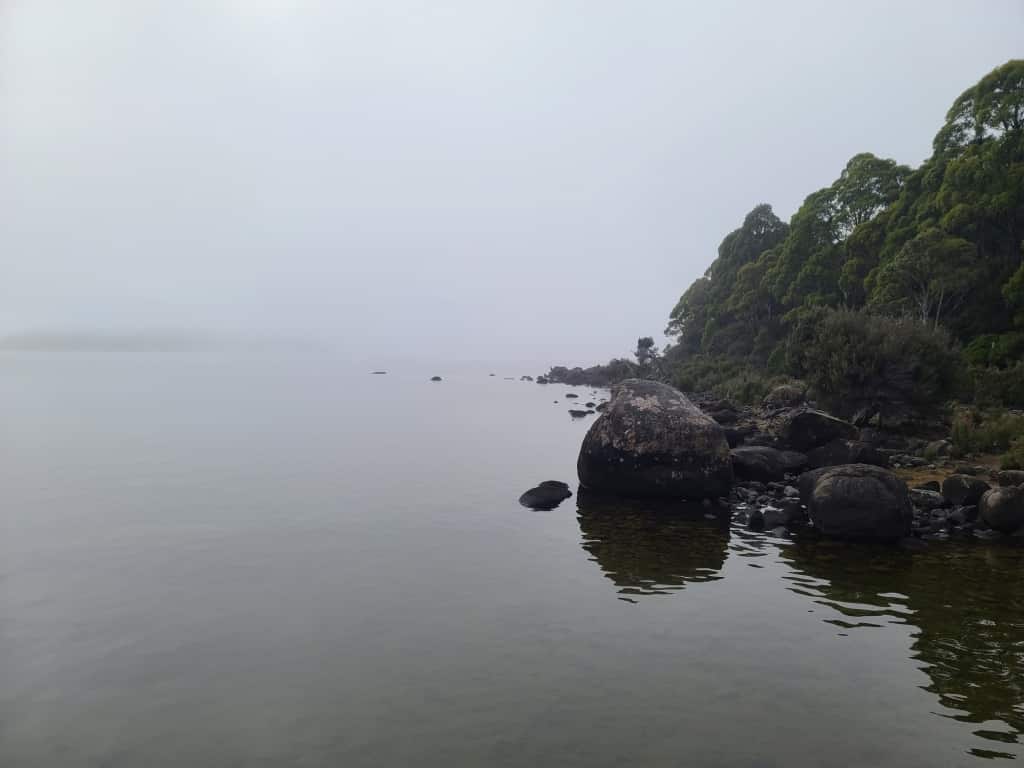
Fog so thick we couldn’t see the other side of the lake – so forget photo opps.
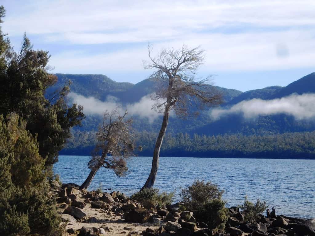
But it had cleared beautifully twenty minutes later at Echo Point.
Practically none of the Track walkers completes this last day. Only one when we were there – and given that closer to fifty begin every day this gives you some indication that this hut (and the other side-trips we had planned and will complete in the future) will be reasonably private affairs. Only one other couple were on the boat with us.
At the other end (of the track) you can apparently also walk in to Waterfall Hut without booking, as well as staying in Kitchen and Scott Kilver Huts I understand, so there are options around the Overland Track which are available and less busy than actually booking (a year in advance) then having to complete the walk with a posse of other folks whom you likely will not get on with anyway.
There are various other tracks which intersect with the Overland Track (eg the Never Never) which you can walk without booking on the Overland Track, so some research might well pay off for a more varied and ‘solitary’ experience.
We had picked a (rare) day without rain as it turned out. Tassie weather is notorious. We opted to go when we did, looking forward to a week of fine weather (but…in Launceston, alas). The West Coast and Highlands are another world altogether. It rains and comes in cold anytime.
Our day at Echo Point was fine and even sunny (sometimes) but the morning started out very cold. As you can see in the first photos I had a down vest and puffer jacket on at the outset, something which I almost never do even in winter in the Victorian mountains. I also had those (never worn) gloves at least in my pocket.
The Overland Track brochures warn about the dangers of the weather and they are right. If you plan to tackle this track be very well prepared for very wet cold nasty weather (maybe for a full week!) if you plan to ever see another summer.
View up the lake at Echo Point.
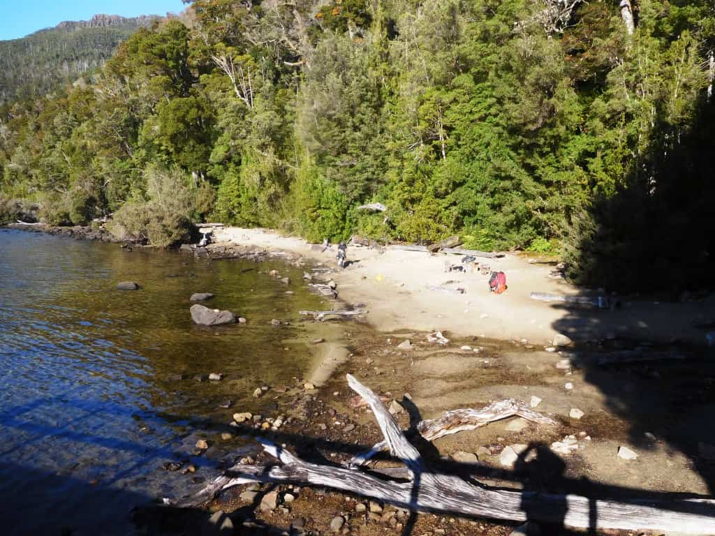
There is even a small beach there on which you could camp besides lots of flat space around the hut too.
Inside the hut was too dark for photography.
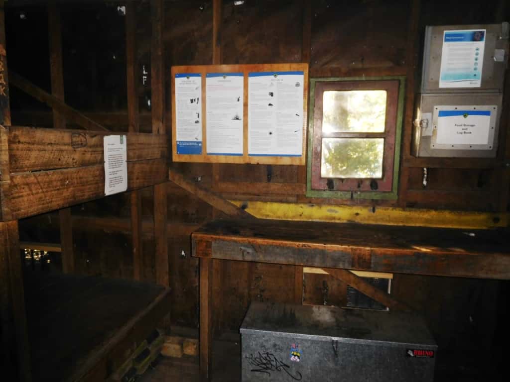
It was undergoing renovation when we were there so should be in good condition for a while yet.
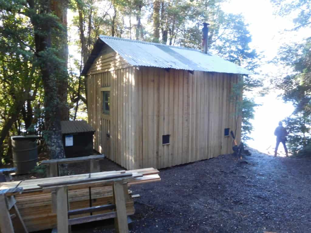
Plenty of spillover camping on flats nearby.
Even a flash new toilet.
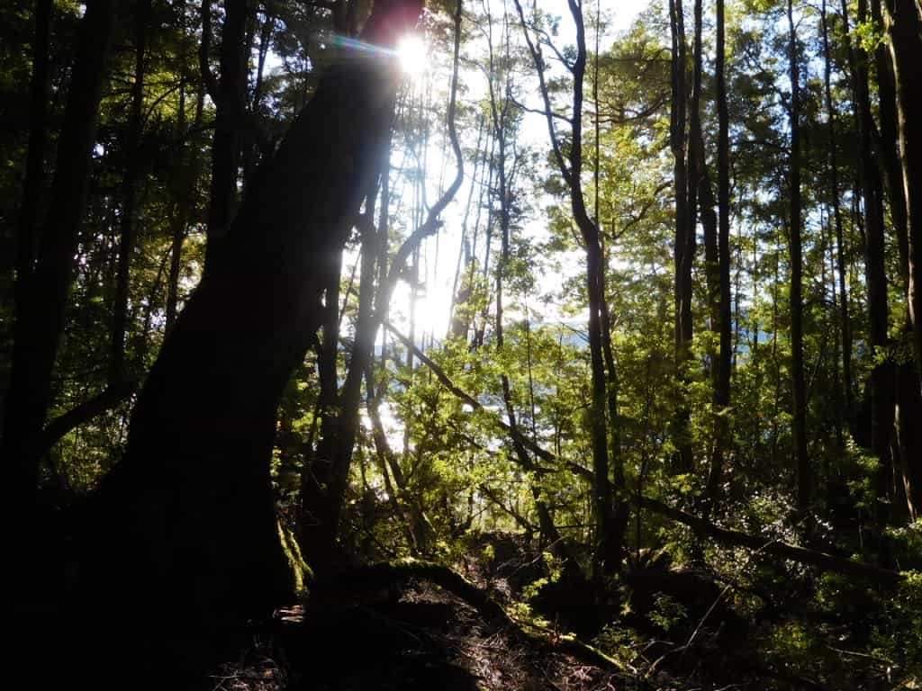
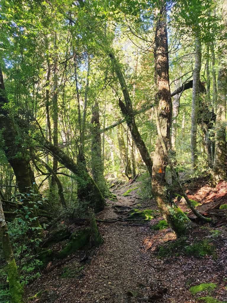
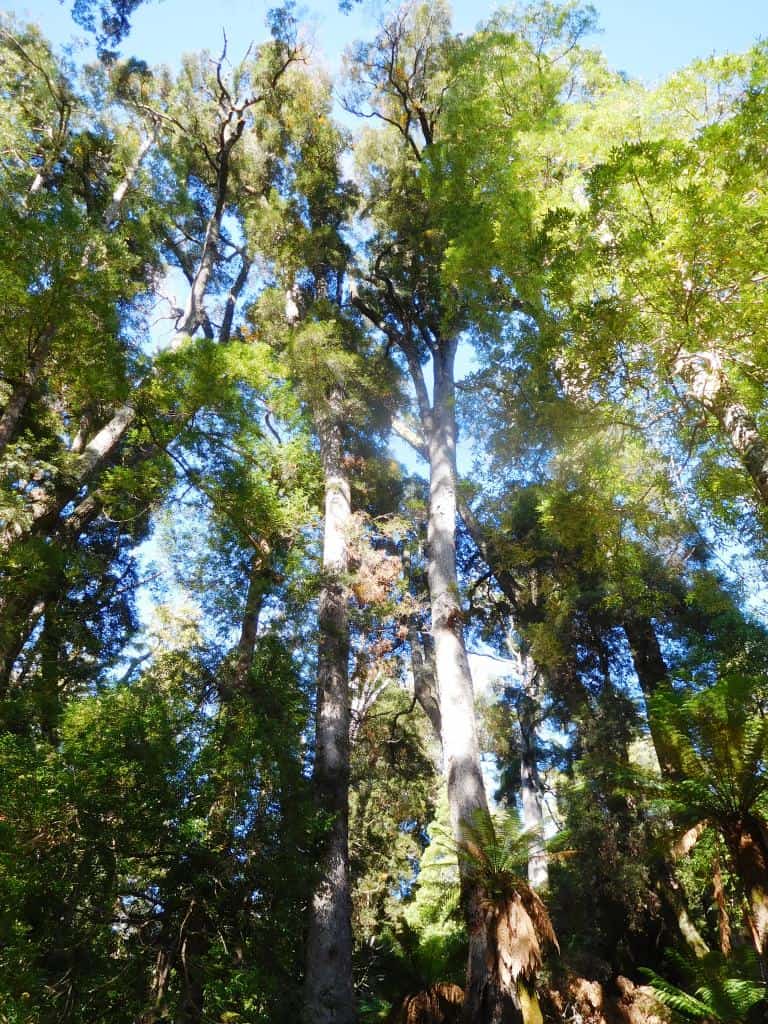
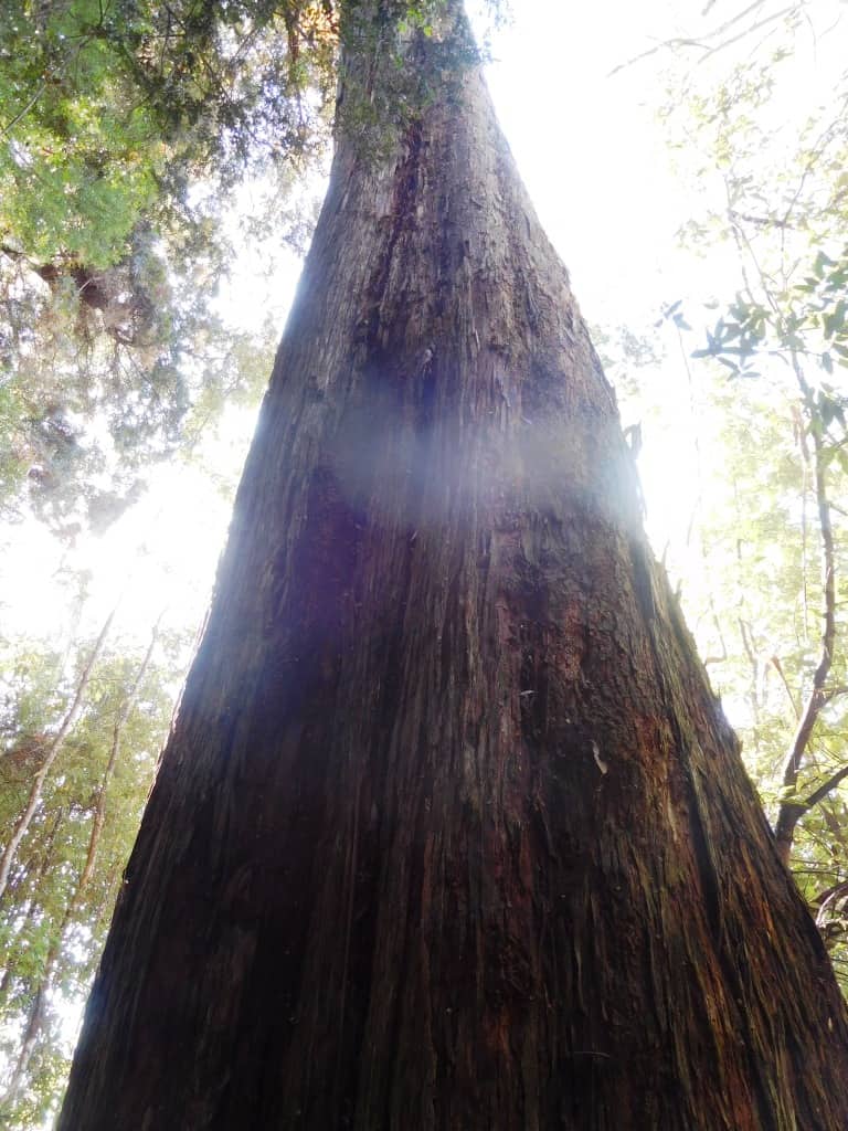
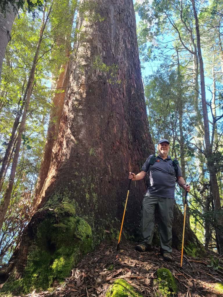
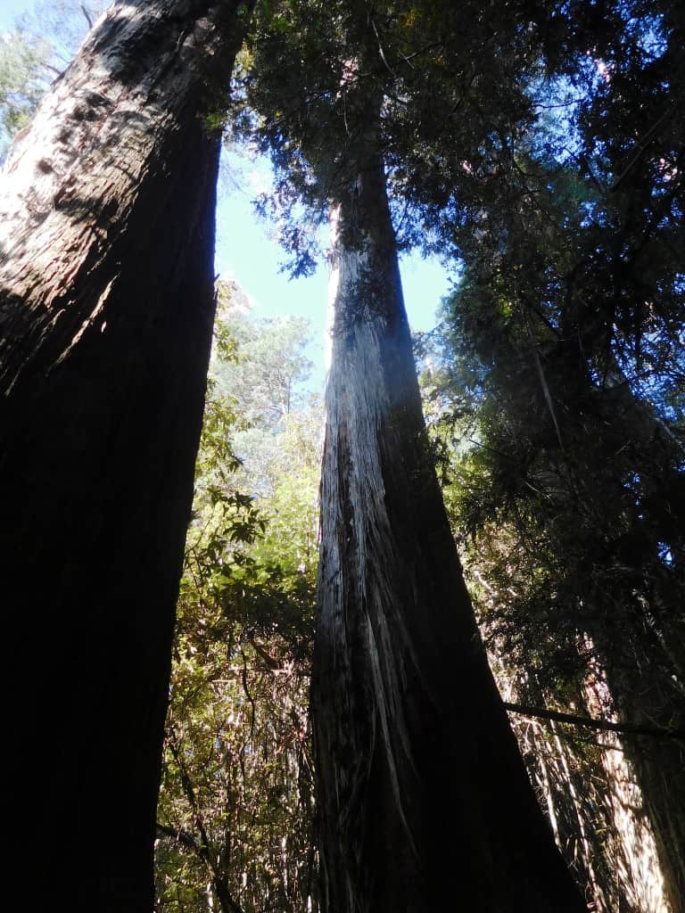
The top end of the lake seems to be one of those rare places which escaped the loggers in the past so that ancient forest giants abound. We saw huge pines and mountain ash a hundred metres or so tall.
It is only 7 km down from the Narcissus Hut so you should do that in less than three hours – say 7 hours from there to Track’s End at Cynthia Bay. A trip not to be missed if even most do so.
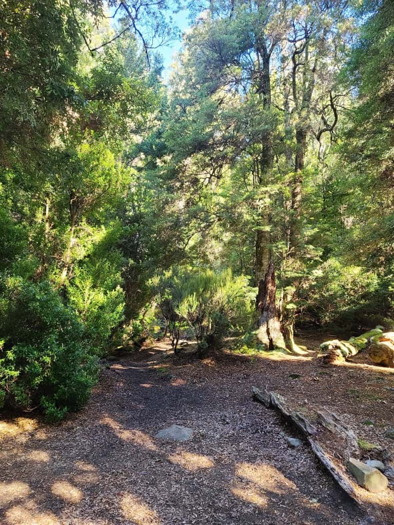
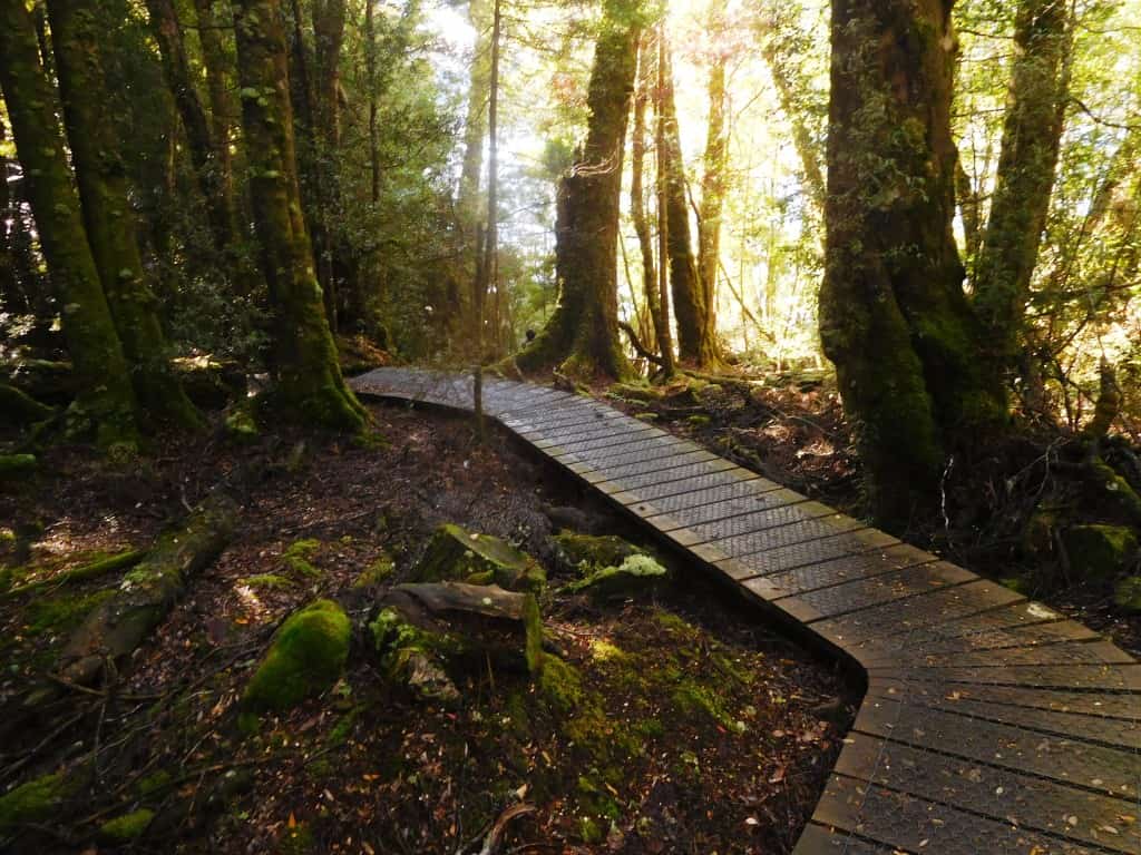
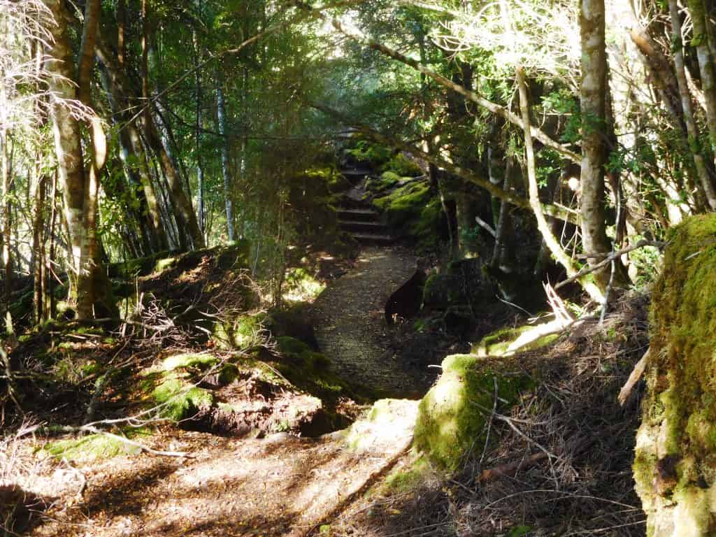
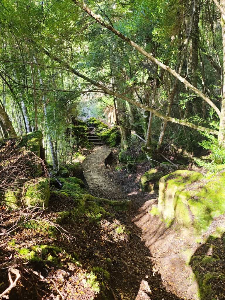
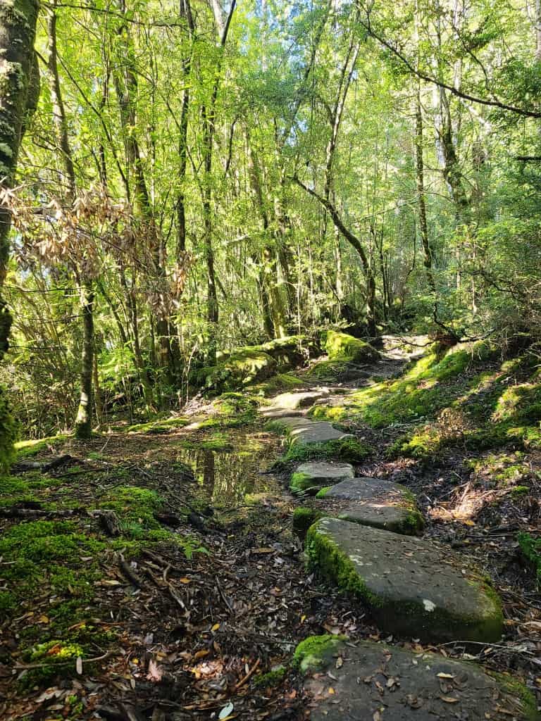
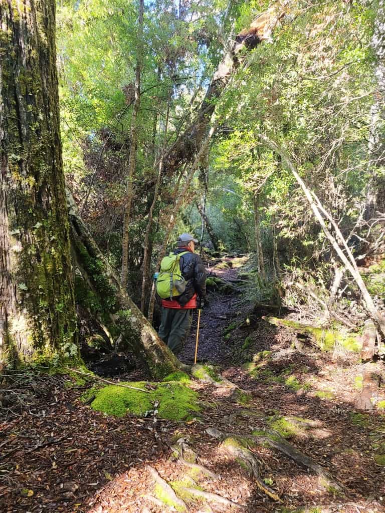
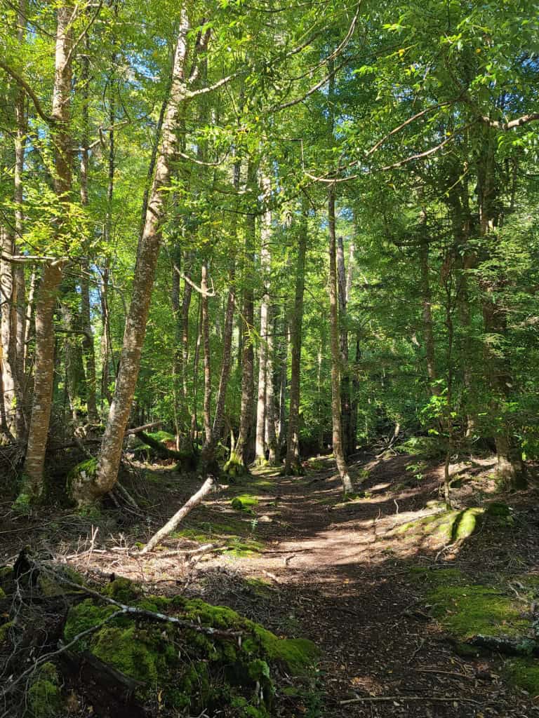
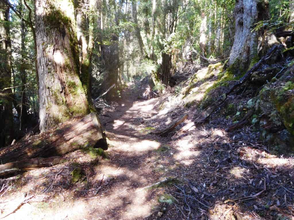
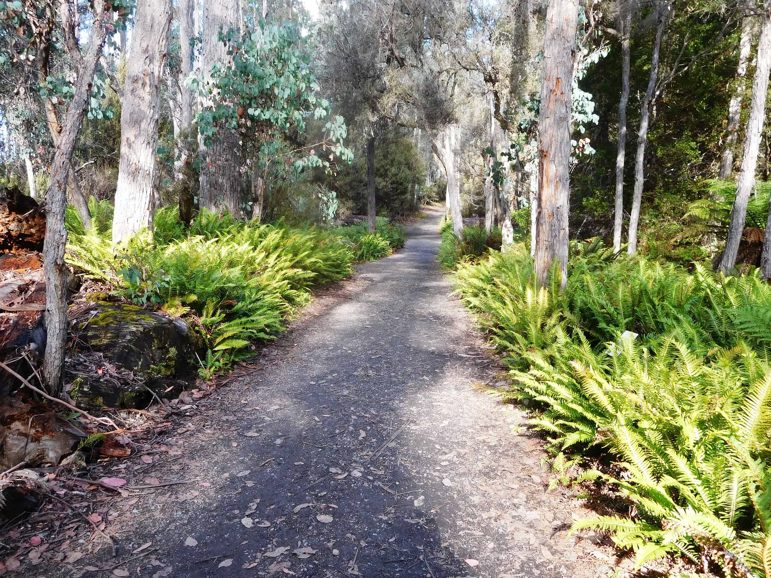
Around the hut the tracks are all like new – lots of boardwalks etc. The first third is like that. The middle third is a bit rougher – more tree roots and mud, then the last third happens upon an old logging road and is (especially once you break out onto the flats) very easy going. Of course this third is all secondary regrowth.
The forest reminds me so much of Fiordland NZ (the Dusky and South Coast Tracks there spring to mind). or some patches of similar ‘Antarctic’ type forest in Gippsland – along the Western Tyers and the South face of the Baw Baws or Tarra-Bulga etc.
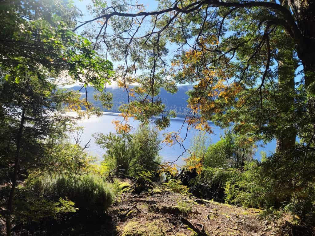
There are wonderful beech trees and majestic gums but also (what long ago largely disappeared from the mainland due to irresponsible aboriginal burning) those truly grand great pines, much like the Bunya Bunya which remains in a small area of Qld – although not in its leaves. All the way you are treated to delightful views of a majestic lake through a fringe of leaves.
Starting out on new boardwalks.
Constant views of the lake through a fringe of trees.
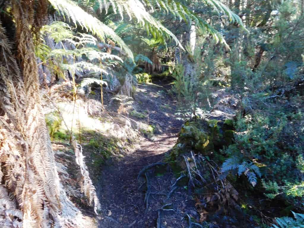
The middle third the track becomes a little more primitive but still well-maintained, well- marked and easy walking.
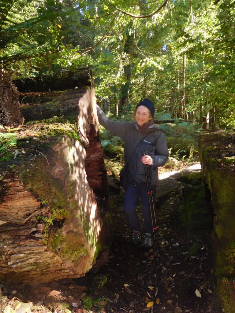
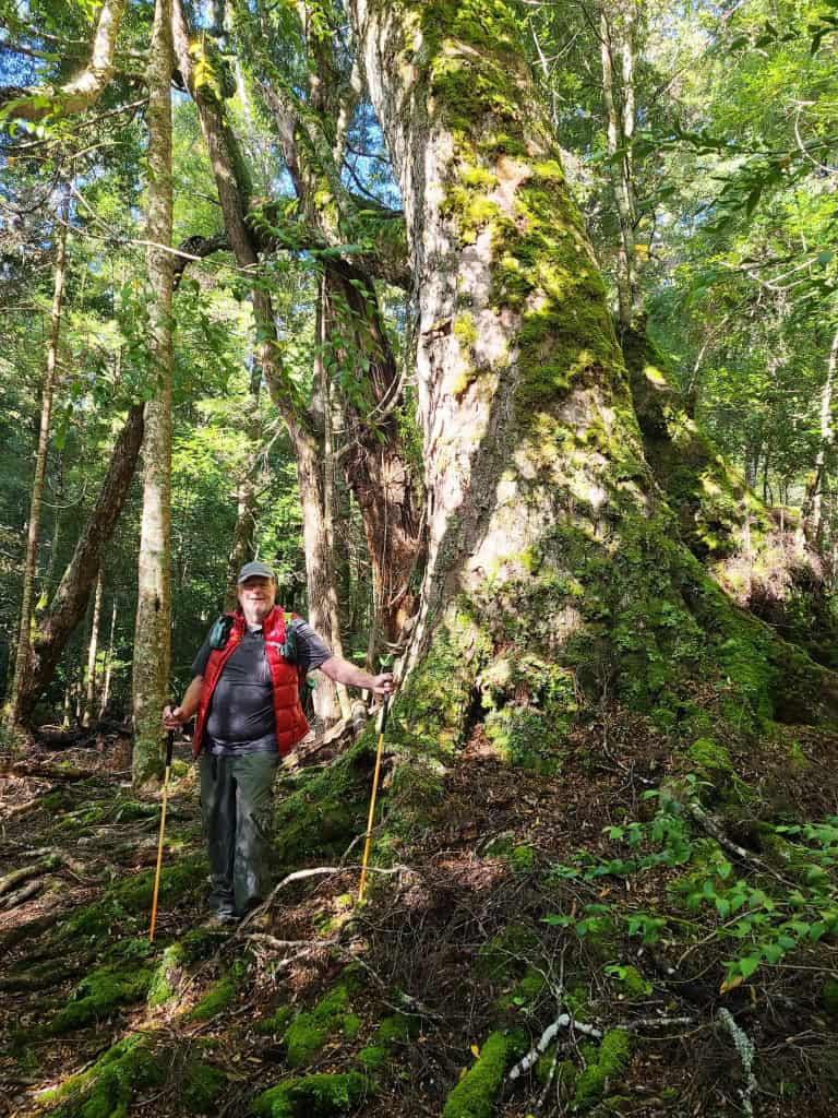
Some of those trees were pretty big!
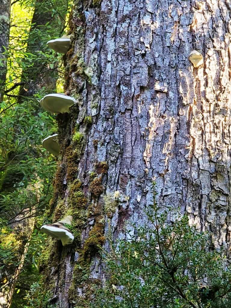
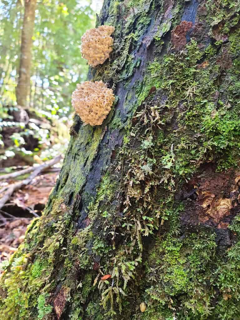
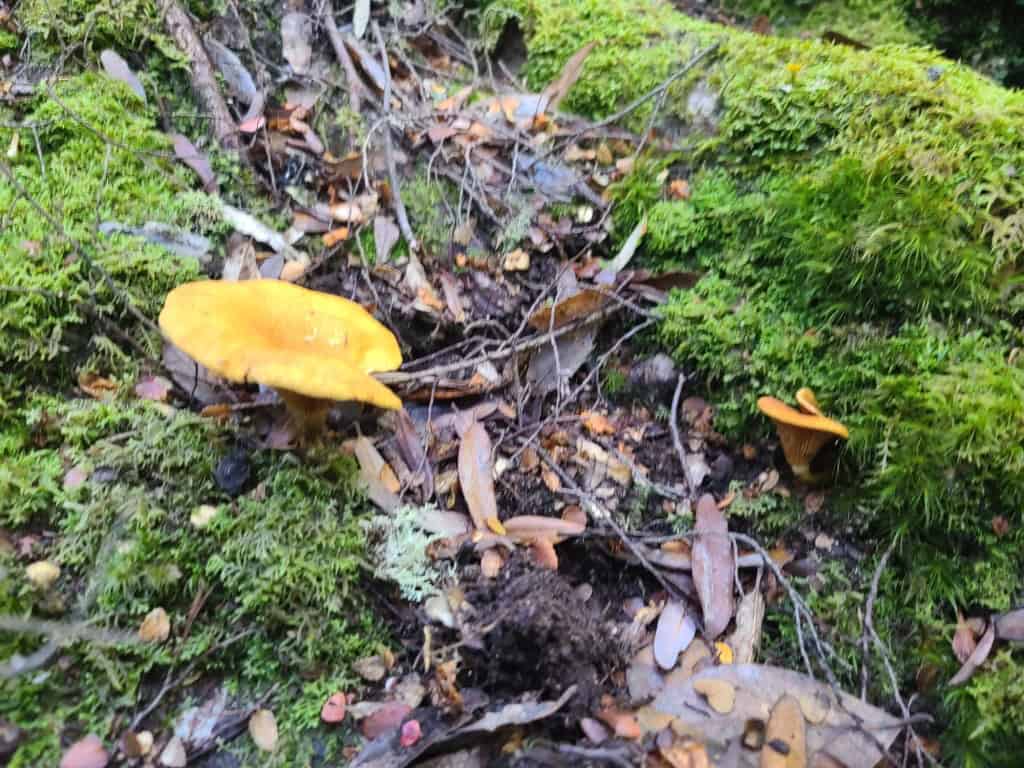
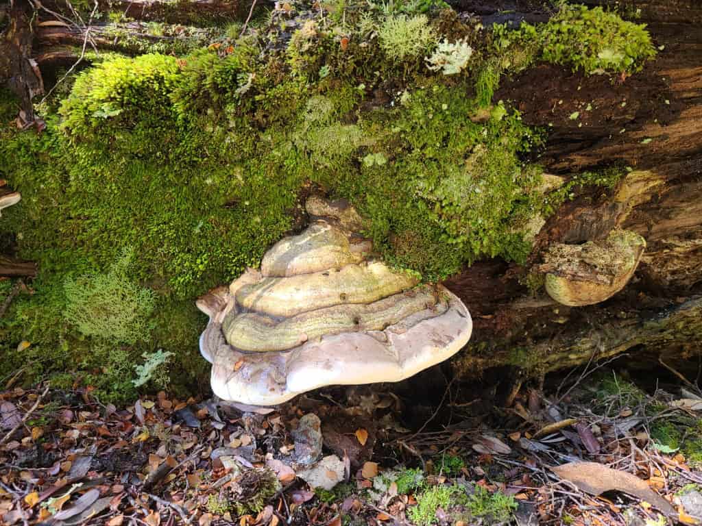
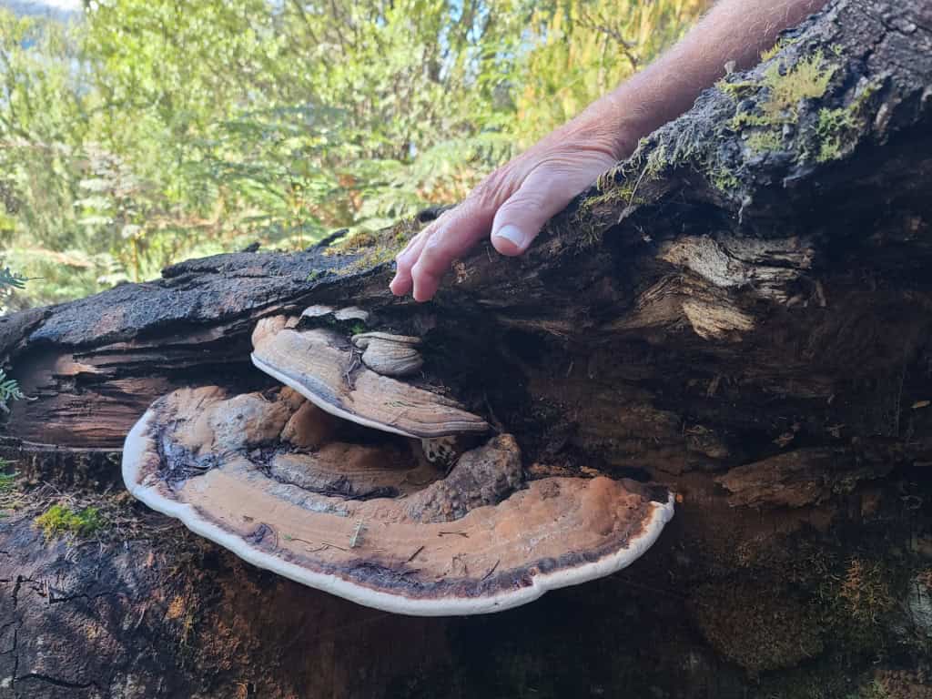
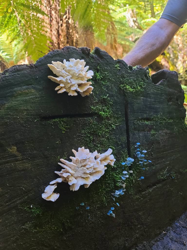
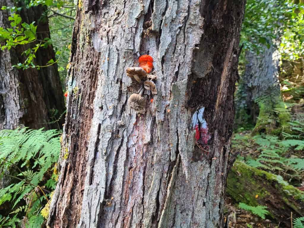
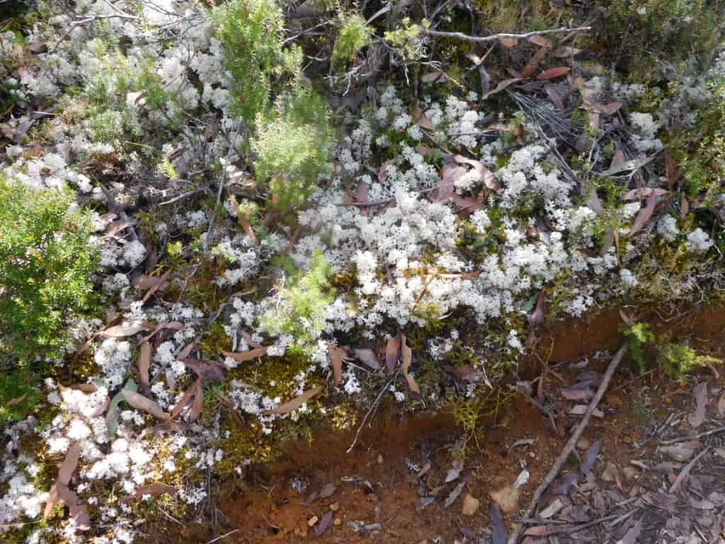
Some interesting additions for Della’s fungus collection
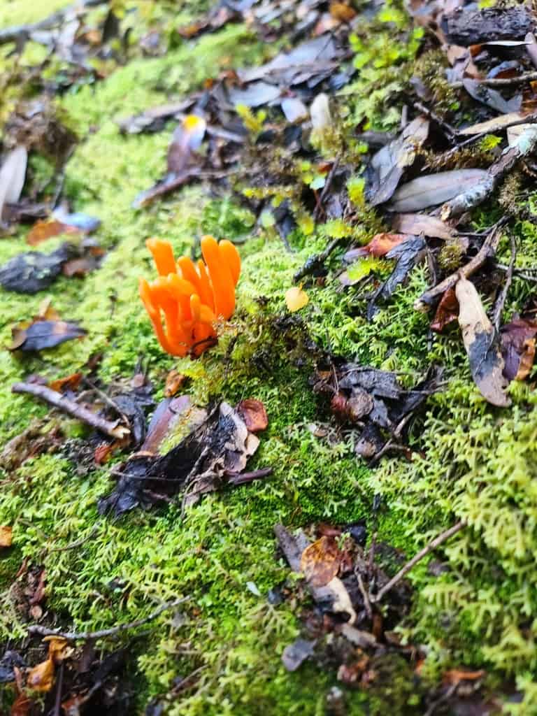
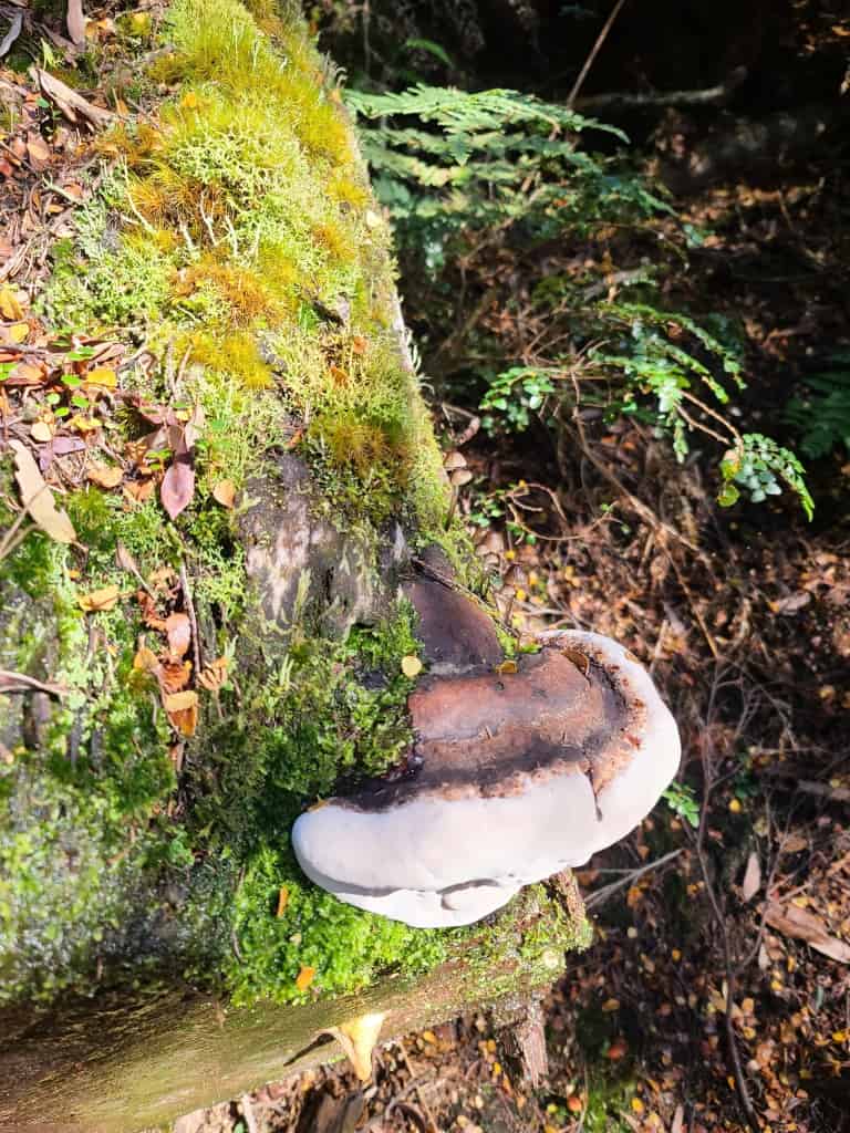
This fungus seemed to be aping the second generation track marker – a red dot on an old blaze.
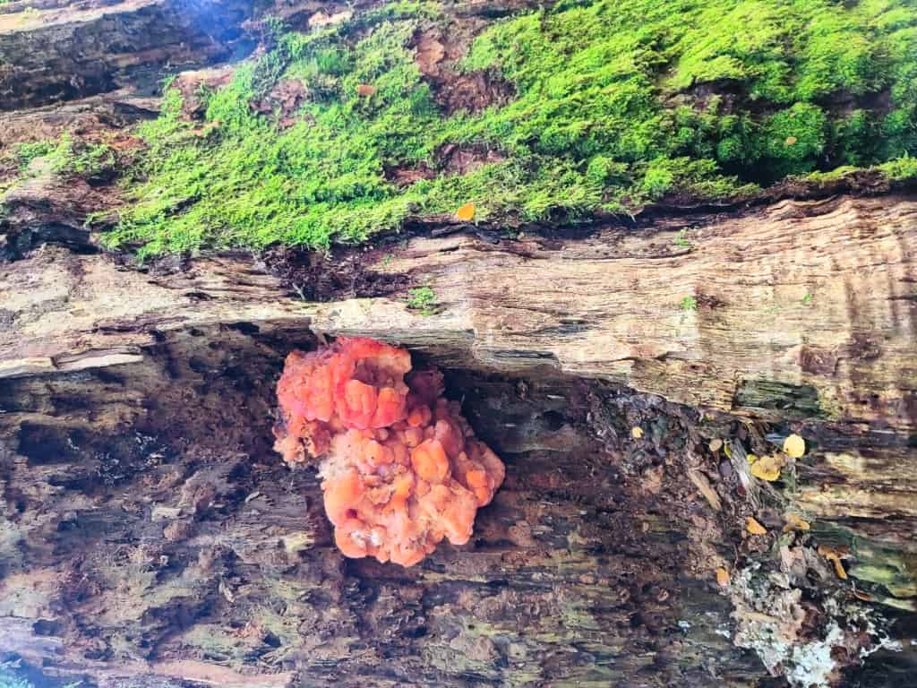
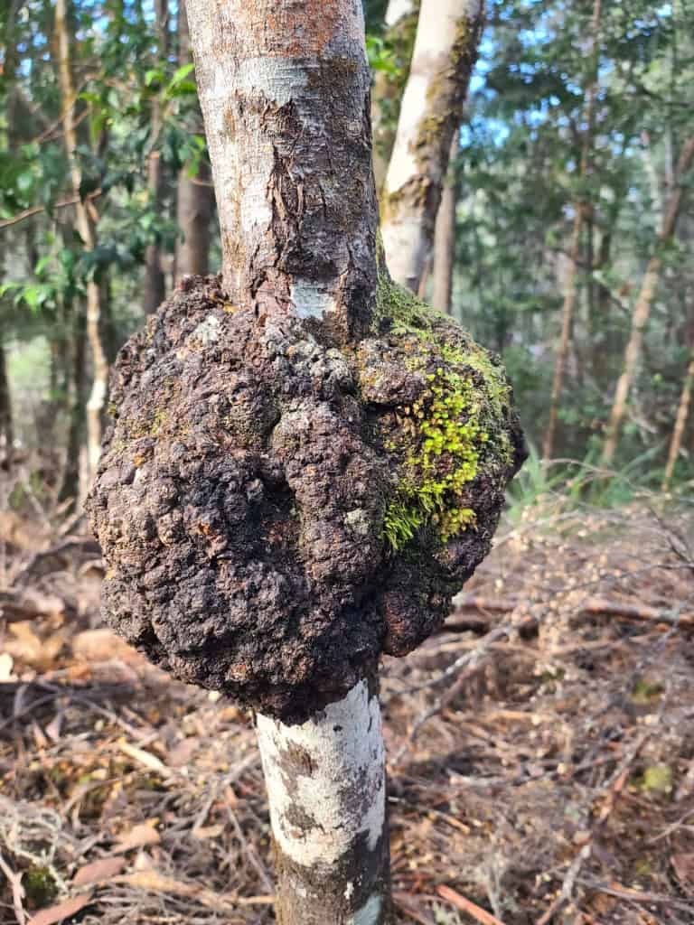
This one is very galling.
Then the boardwalks become a path.
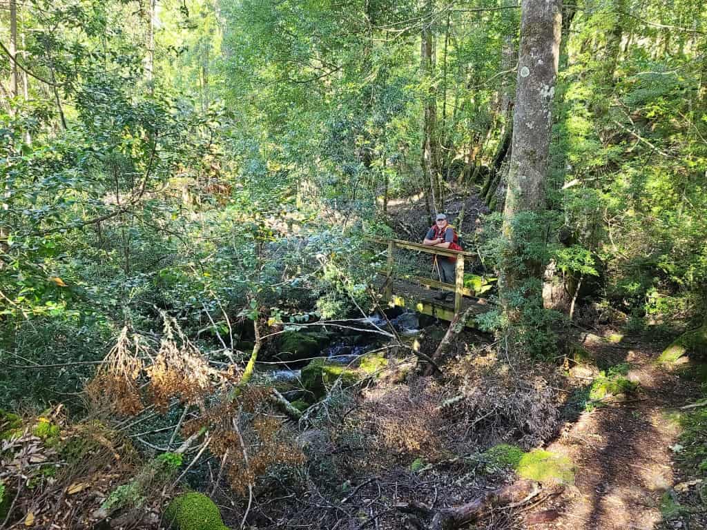
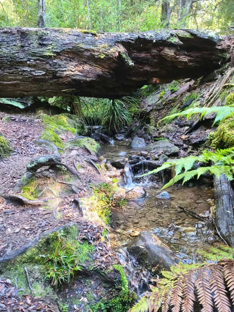
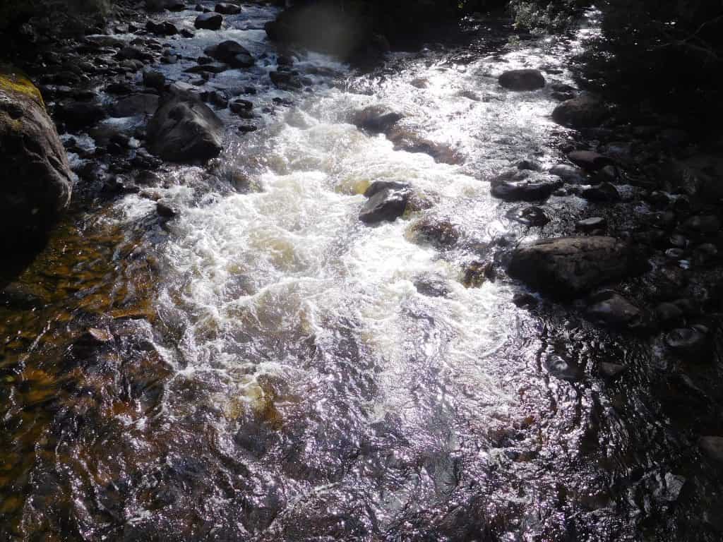
You cross several small streams – anyway no need to worry about a shortage of drinking water.
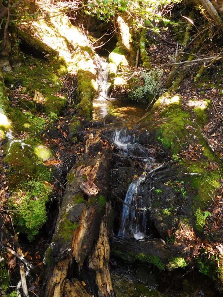
Many forest giants in the first half of the walk.
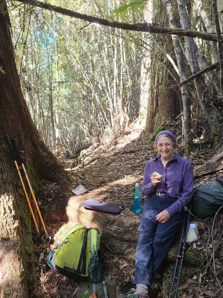
We shared our lunch spot with these three very old friends.
About two-thirds of the way the path suddenly becomes an old logging road.
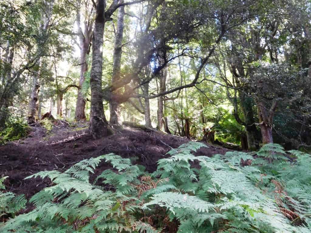
Then about three quarters of the way along the path suddenly descends onto the ‘flats’ and dry sclerophyl forest replaces the rain forest.
Then you follow a stream on your right for a kilometre or so.
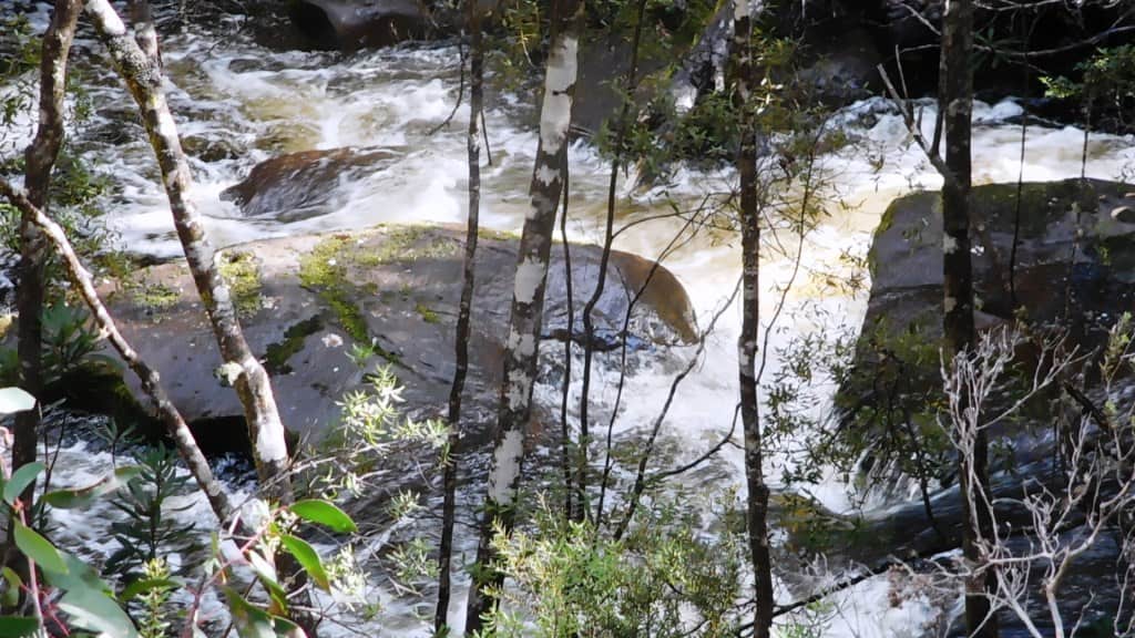
Until the Watersmeet.
The last kilometre or so after the Watersmeet is just a road really.
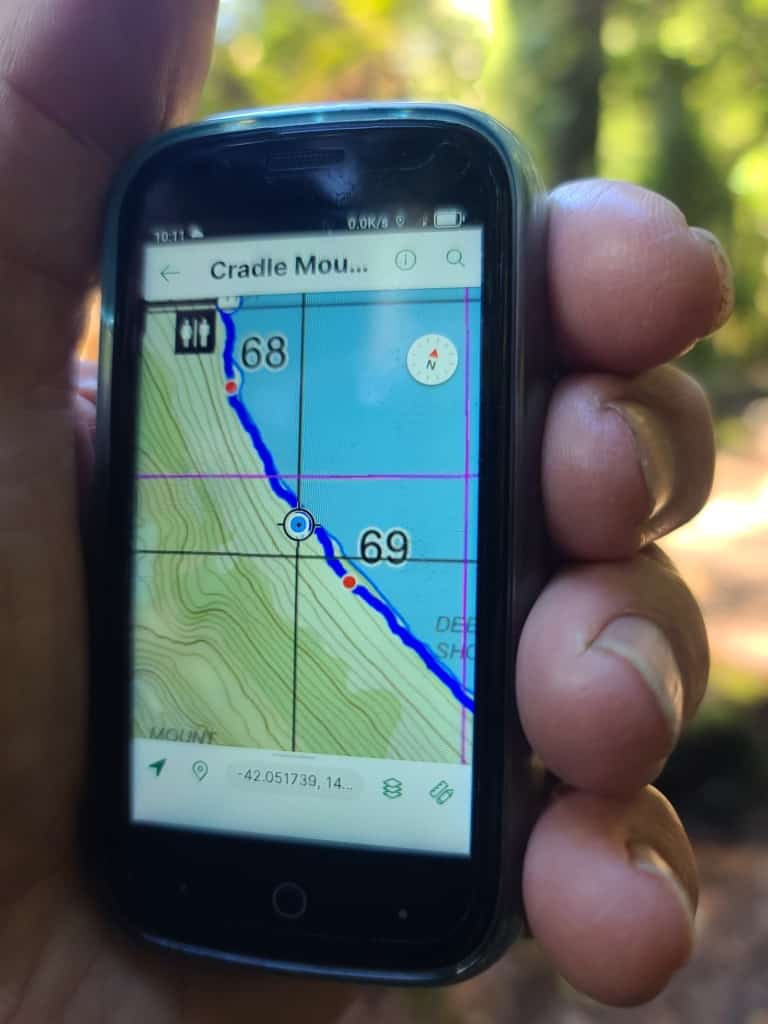
The Avenza App and the free GetLost map ‘Cradle Mountain Run 2024’ work brilliantly for this track by the way. This map has each kilometer point clearly marked so you know exactly where you are and how far you have gone all the time.
See Also: