This is a delightful white water day trip or a very leisurely overnight – as we did it – seeing in the New Year (2026) together again (our 55th!) Our put-in and take-out points were respectively the Den of Nargun, Wallers Rd and the Final Fling Rapid on Fraser-Alexanders Rd, Glenaladale, Gippsland Vic – a car shuttle of only about 15 minutes. You can stay at the quite lovely Echo Band Camping Park one kilometre from the Den of Nargun or just enjoy coffee, pies, cakes and ice cream (and a chat) there as we did. We stayed (in freedom, solitude and tranquillity) overnight at the fabulous Glenaladale Weir ruins. See: Glenaladale Weir Walk
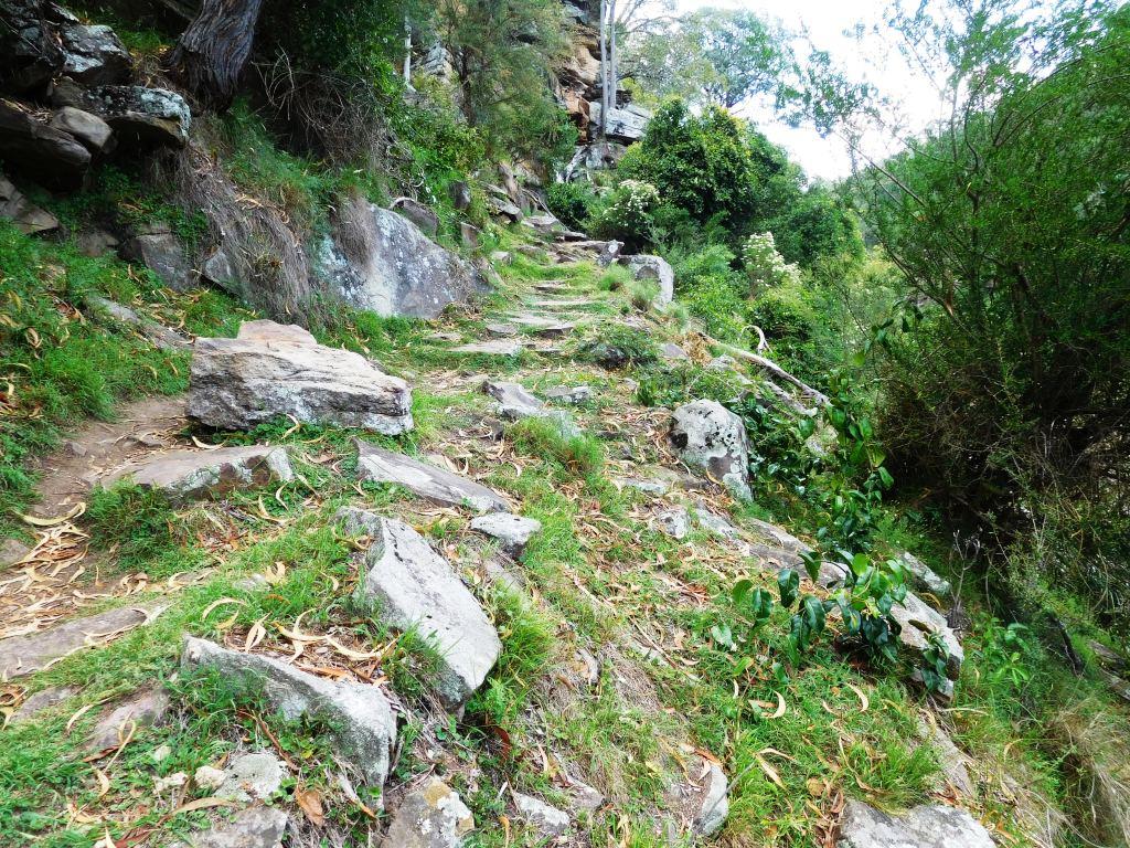
The carry-in down to the river at the Den of Nargun is not too arduous being a gentle walk on mainly a tarred track of about a kilometre to the river via the Bluff Lookout, the northern terminus of the lower (largely unmarked – a work in progress) section of the Mitchell River Walking Track. I did (unfortunately) fall flat on my face on the short rocky section around twenty yards from the river and am today sporting a bruised nose, two black eyes and a couple of very sore shoulders. Should have used my hiking poles after all! The accident did not deter me from enjoying the trip (not to mention the excellent company) anyway. Happy New Year to you too!
The trip involves about 1 1/4 to 1 1/2 hours in to the Weir, and about the same again out to the Final Fling Rapid steps (so around 2 1/2 hours in total); the steps require only a gentle approx thirty metre carry-out back to your car. Too easy really. There are only about ten around Grade 2 (minus) rapids overall and long languorous sections of limpid (swimming) pools except for the rather knotty rapid just below the Weir caused by the scattering of its huge monoliths along the river course. We made an approx eighty metre portage on the true right bank just below the Weir to avoid this (taped now for you). We also taped the route down from the Mitchell River Walking Track to the Weir campsite should you (also) want to walk in for an overnight camp sometime.
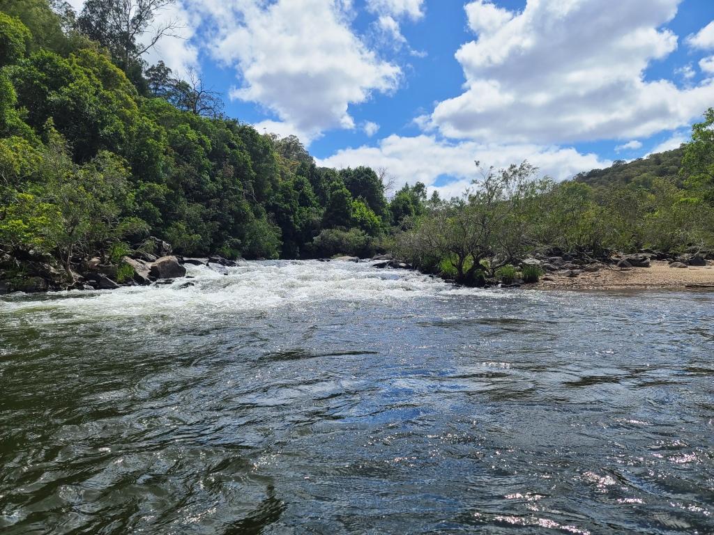
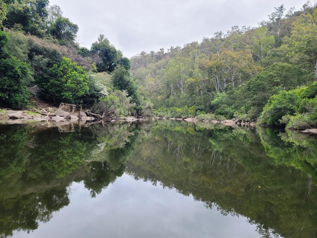
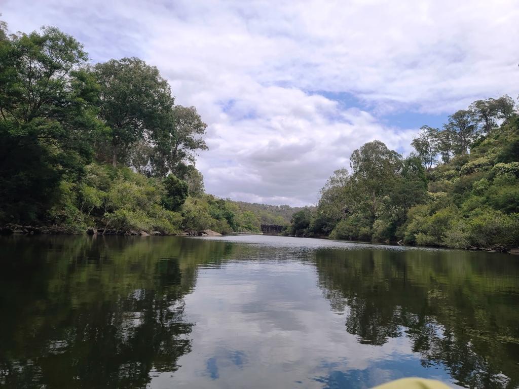
We put in just below this rapid at the Den of Nargun.
View downstream from the put-in point.
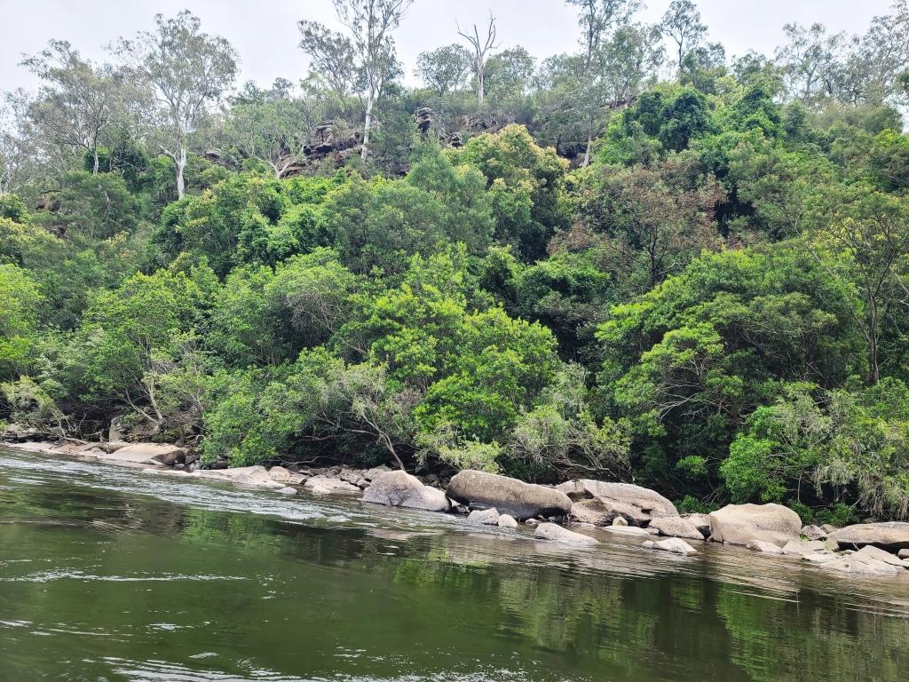
Most of the rapids are fairly small.
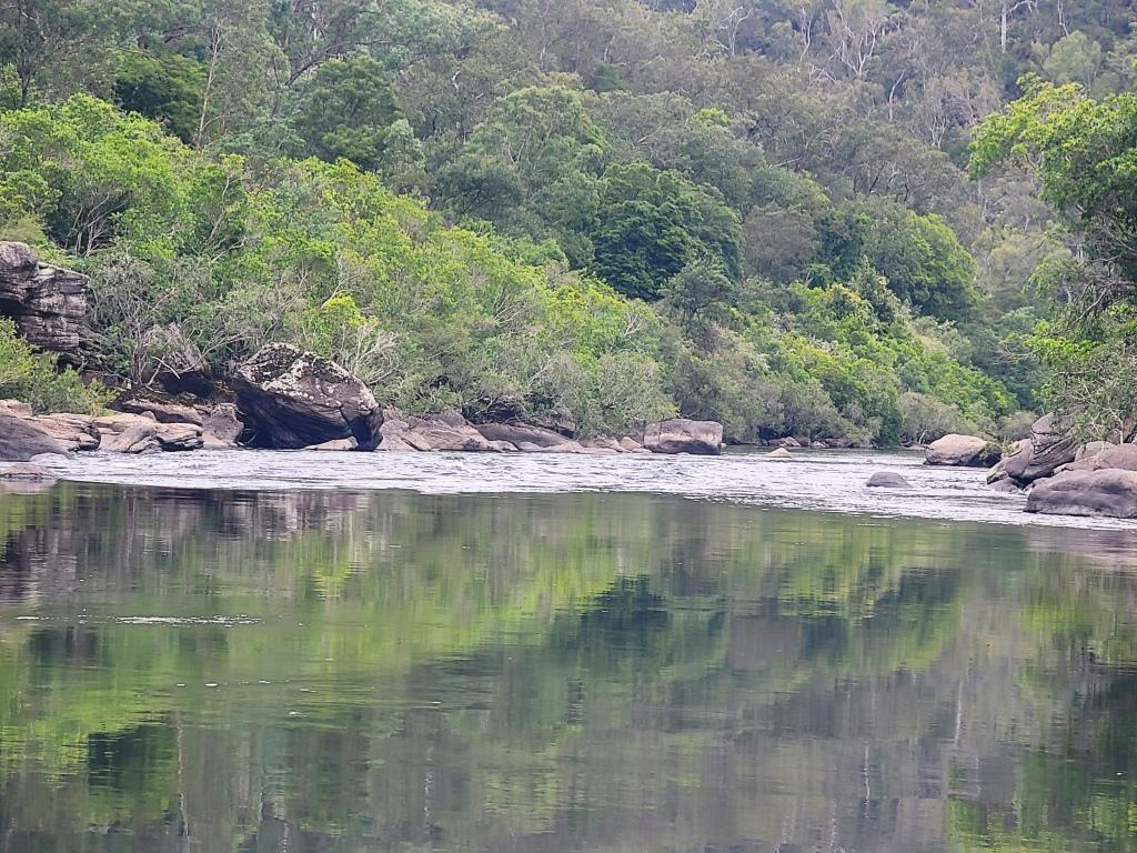
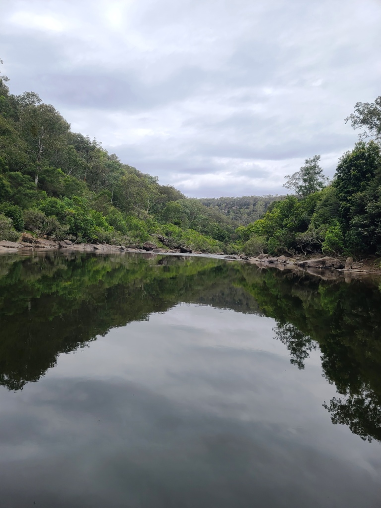
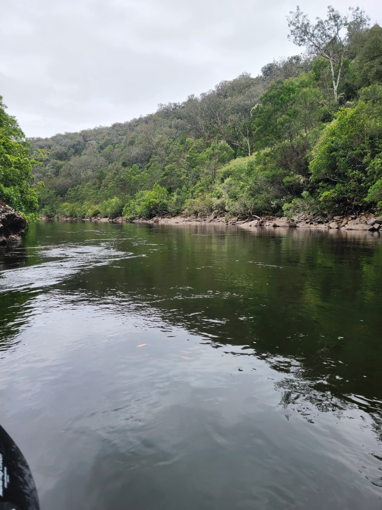
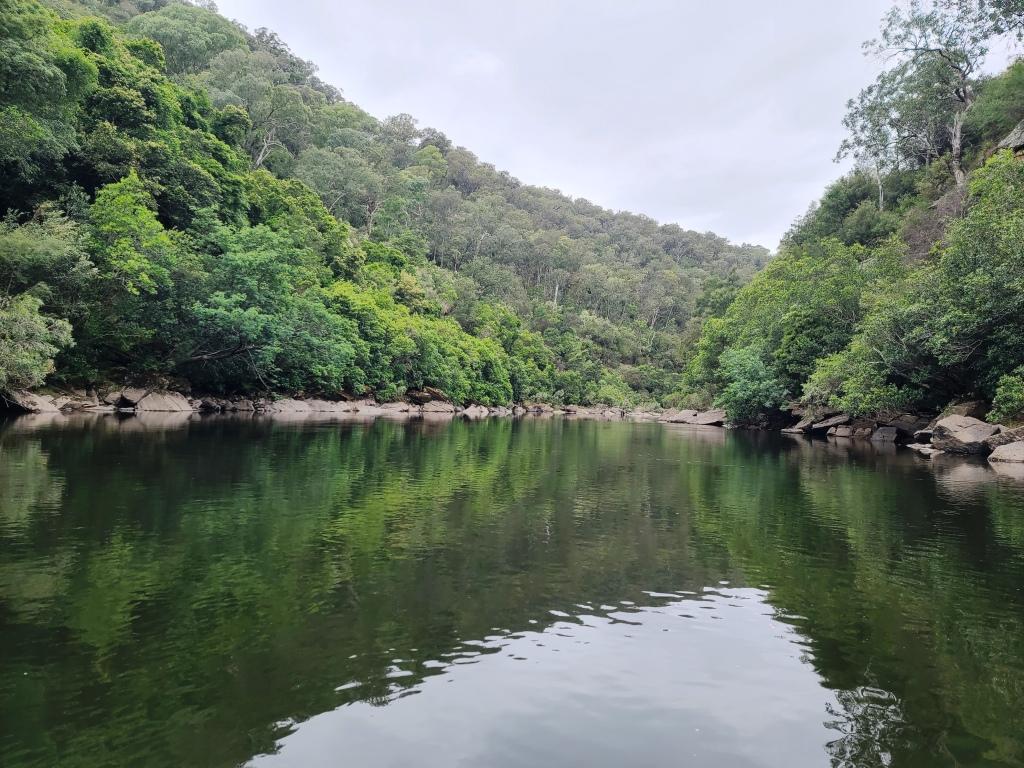
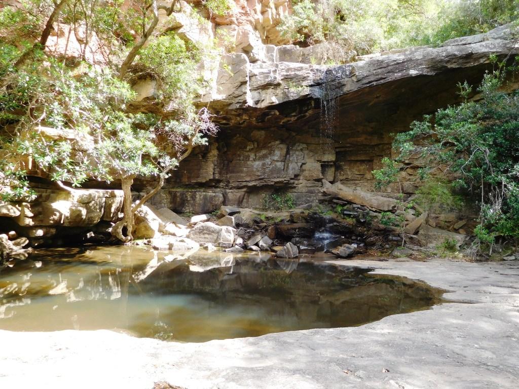
There are many long limpid pools.
At 1 metre on the Glenaladale Bridge ( a common height) there is plenty of water and a robust current.
The sides of the river along this section are mostly rock so you should expect that the river will remain much as it is ie canoeable pretty much 365 days per year. You only need a half metre of water at Glenaladale to canoe it.

There are half a dozen good campsites as you go down the river. I have marked the ones on the right bank which will be accessible from the old walking track on my phone map intending to create a marked trail to them later on. ‘Watch this space’, as they say.

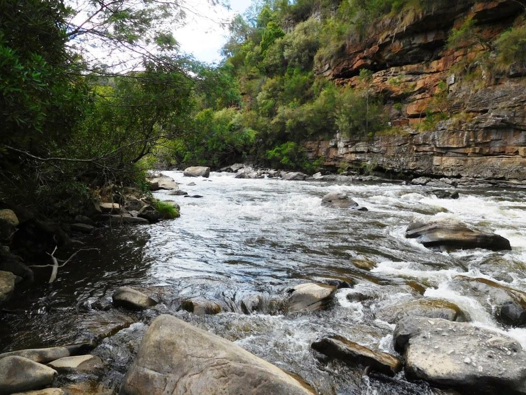
Some of the rapids are a bit bigger.

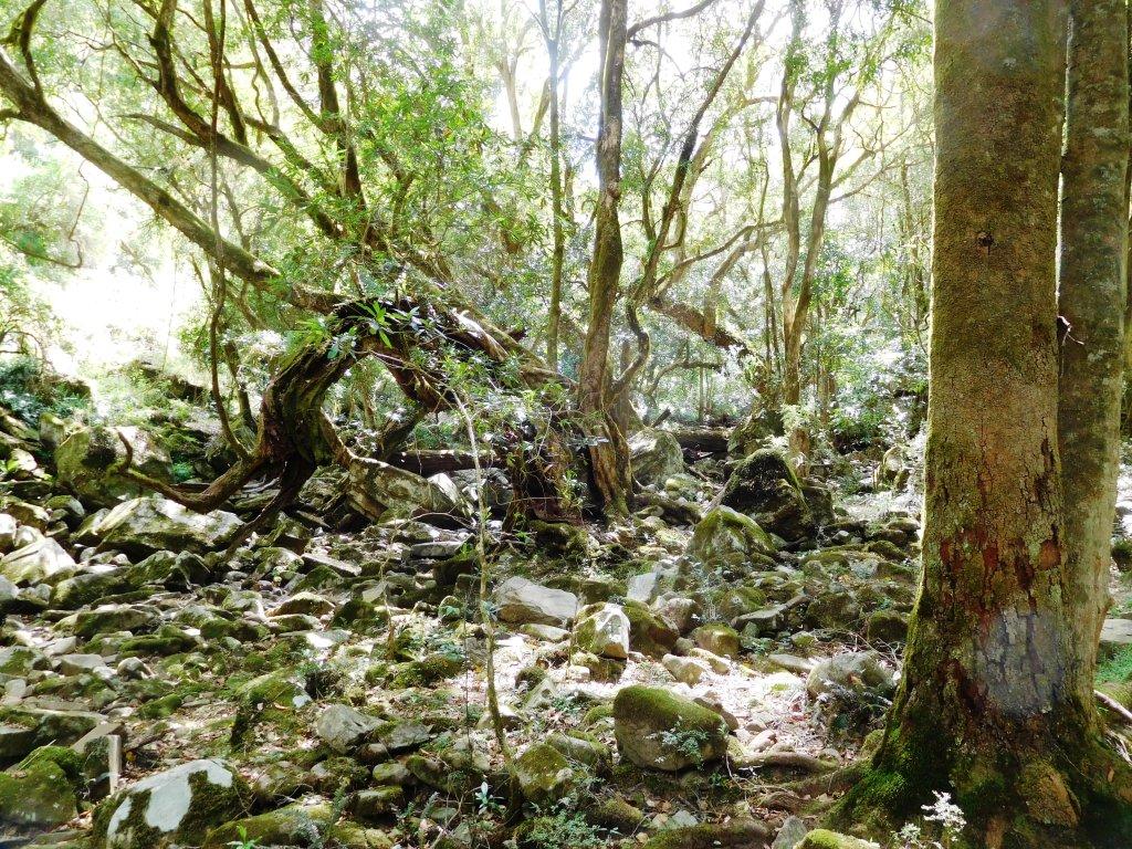
These trees are interesting. They are (colloquially) know as ‘water gums’ and as you can see grow all along the river and even in it holding the banks together beautifully. Where people desire to remove willows which were planted for the same purpose they should replace them with these. One of the most beautiful (and useful) of Australian trees.
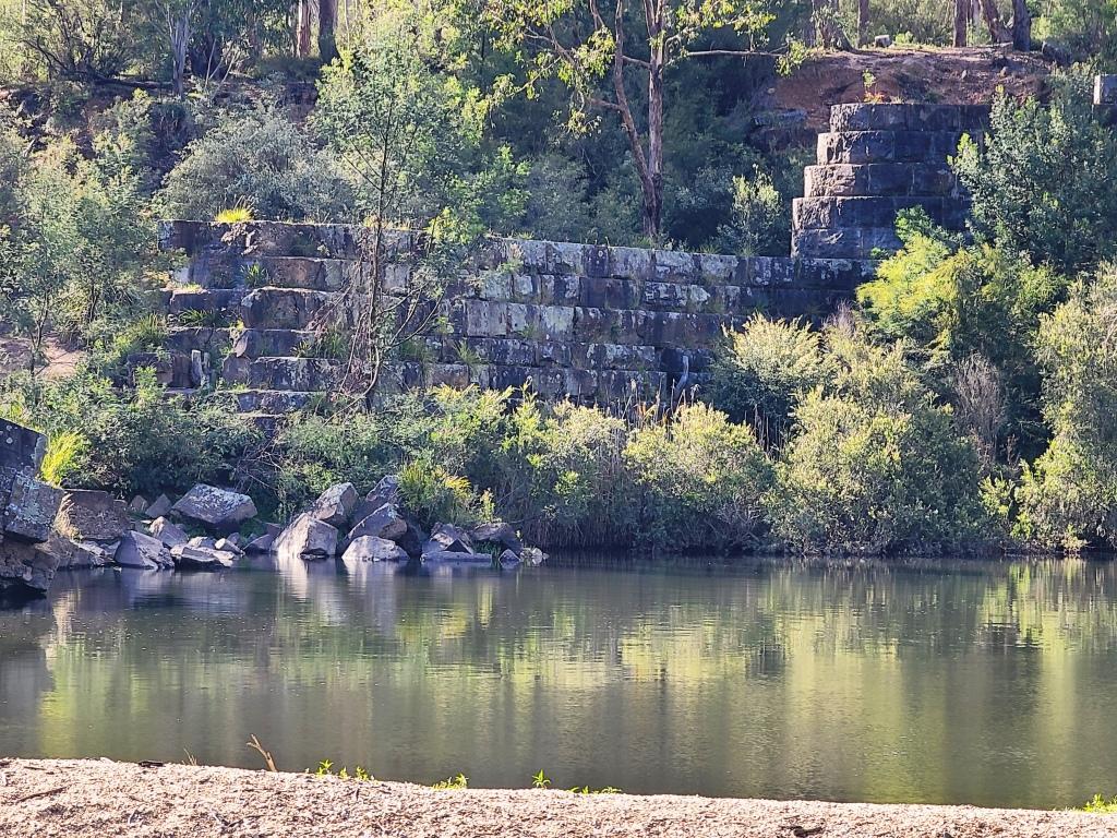
After a couple of hours the ruins of the old weir loom in sight.
And loom.

And loom.

Majestic, isn’t it? This is the west (right) bank. The camp is just beyond the tiny beach you see behind it.

The east bank.

It is huge – around 150 metres long and 20 high before it broke! Made from these huge granite blocks.

Here we are unloading at camp on the right bank.

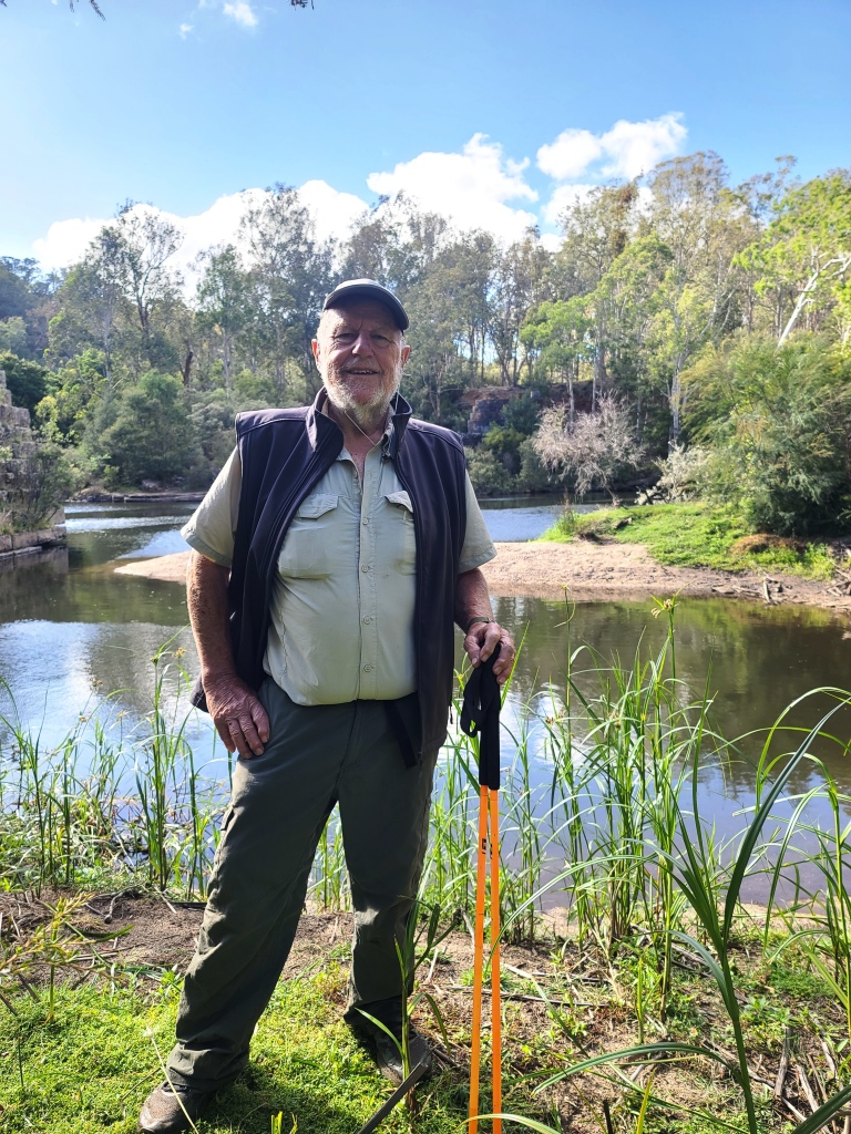
View across to the east bank again.
Our camp (and Chinese Trailstar Tent) just below the Weir.
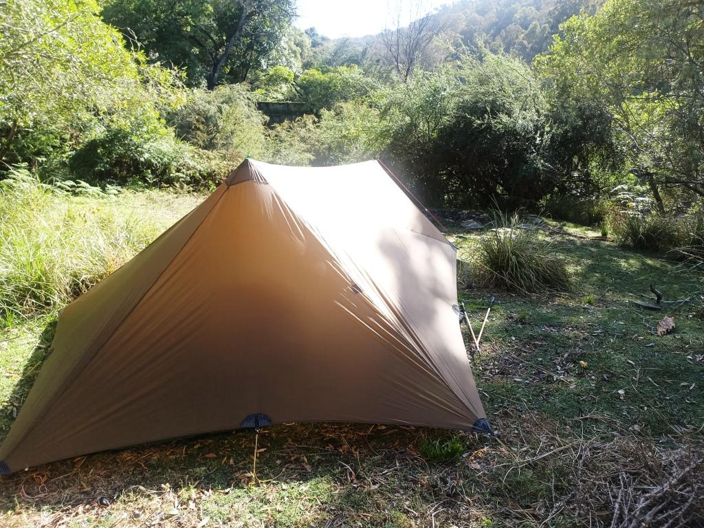
This is the view of the tent (unadjusted) in the morning. It stands up well overnight doesn’t it?
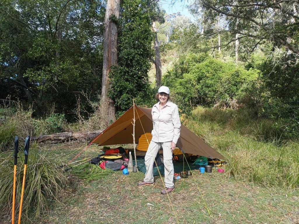
It is a really lovely tent – only 350 grams for the huge roof. I am using an old 7′ x 7′ hammock tarp as a floor. I plan to make a new one which will double as a poncho and tent too.

There are some entertaining rapids – because I managed to break my waterproof camera (in the fall) I haven’t any shots of them.


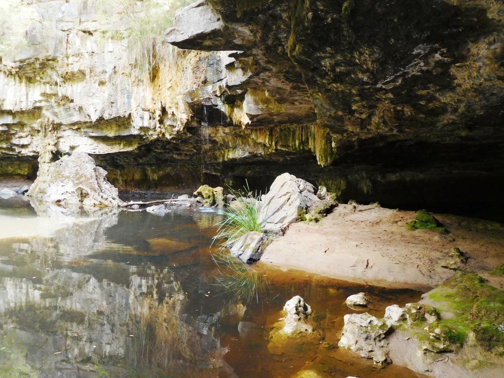
There are many caves in the granite cliffs along the way.

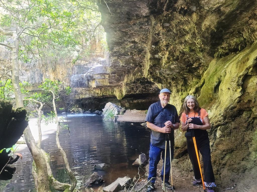
At the Den of Nargun
This is the easy track down to the river.

With a few steps at the end and the river off to the right about twenty metres (followed by a short rocky section) – watch your step there!

The Deadcock Den.
Woolshed Creek where these two ‘Dens’ are located. There is a canoe camp at the mouth of the creek.
Ditto.
Close-up of the Den of Nargun. It even had stalagmites.
The track up from the Den of Nargun (direct) is much rougher and steeper.
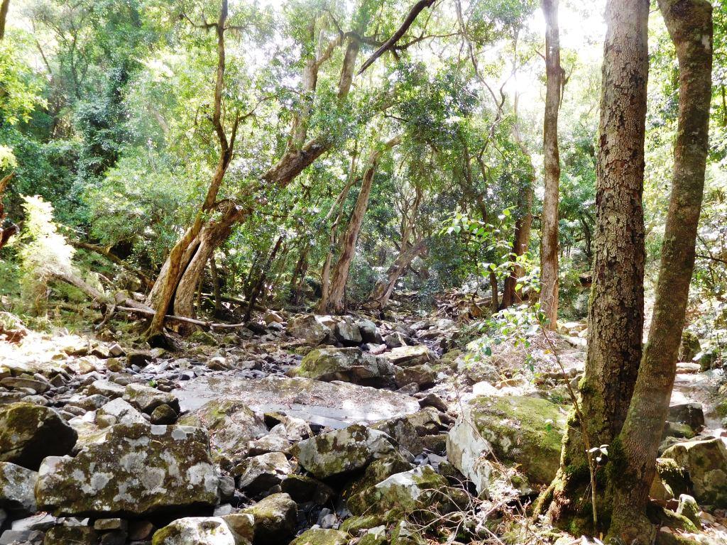
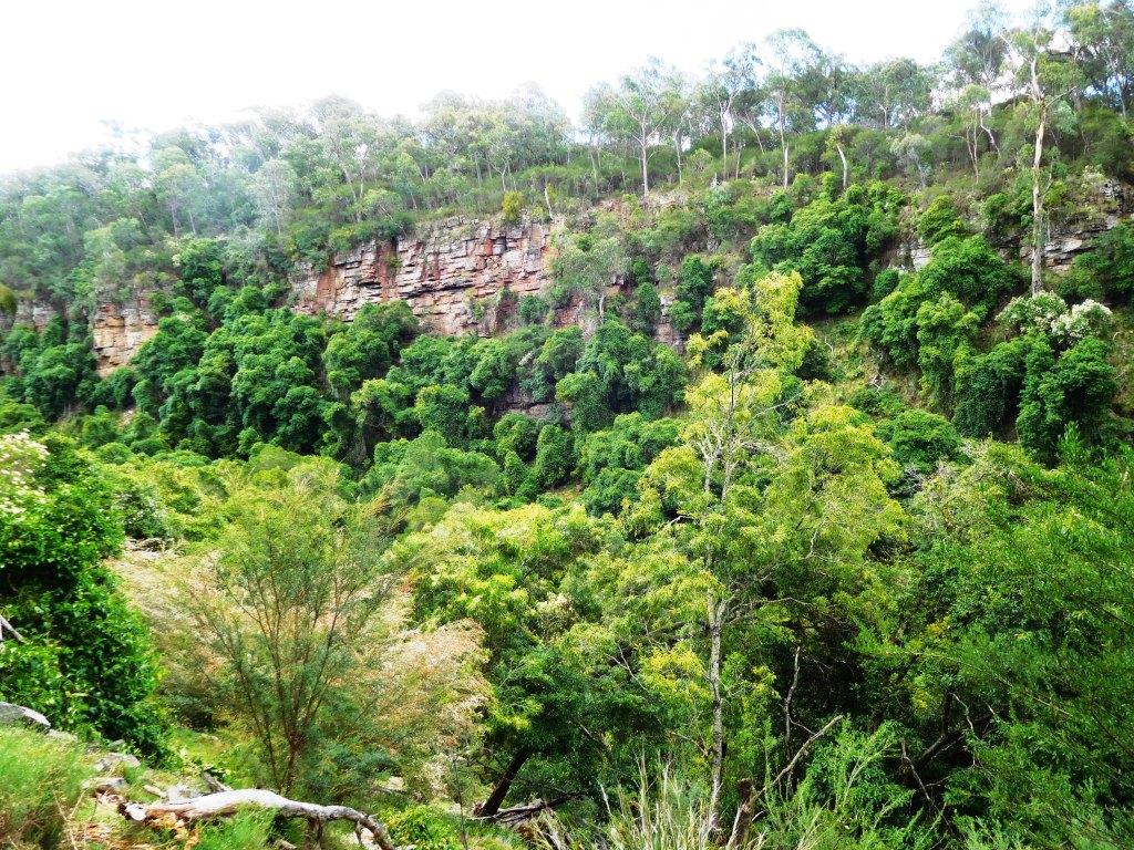
The Woolshed Creek Valley (where the Dens are) is quite steep and tight – hence the rainforest atmosphere.
See Also:
looks like a nice little overnight trip!
Yes it was – or a day trip. Try it. Cheers, Steve.