We have canoed this section of river before but not as a two-day (weekend) overnight trip and not at such a low water level.
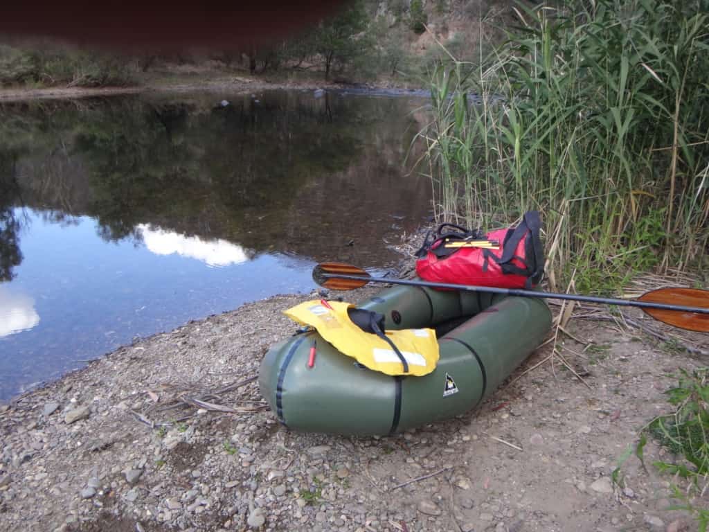
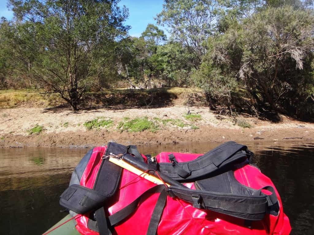
This is my solo pack rafting rig.
I completed this section by myself in 9 1/2 hours paddling (in a packraft) and could have shortened it by another hour if I had exited at Bull Point on Czydel’s Rd instead of at Angusvale nearby (Mitchell River National Park), meaning that a (longish) day trip is possible for this excellent section of river.
If you can exit at Scotts (don’t know whether the gate is locked), you would save another hour and avoid three closely spaced Grade 3 rapids just below Scotts (beginning with the Surprise rapid – it is). It is possible to portage all three (recommended) along the right bank. Younger people (or more water) would speed this time up even further. I am 73 1/2 years old, after all.
I started the trip at the Castleburn Creek confluence (about a kilometre along the Castleburn Creek Rd – just off to the right before you cross that creek on the way to Waterford). This saves several hours’ paddling as compared to beginning at Meyers Flat camp ground just before the Waterford Bridge on the Dargo Rd.
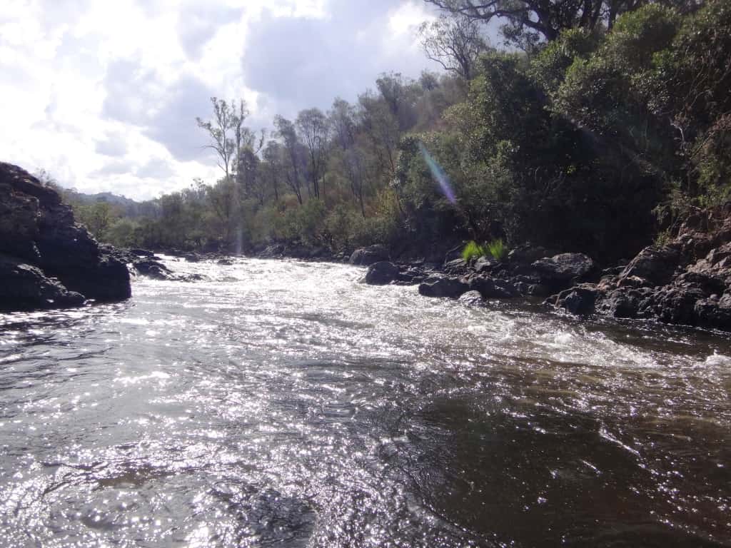
The gauge height was 1.62 on the Waterford gauge and .72 on the Glenaldale gauge, but rose slightly as I went along due to some rain the day before and overnight during the trip (to 1.64 and .77 respectively). At this height I had only to get out about 6 times (on the first day for a few yards), but I scraped the bottom many more times. The rocks are smooth so it did not affect the raft.
BTW: I do think a (short) pack raft is more suitable than a canoe for such low water levels as a (longer) canoe would be constantly ‘hung up’ whereas the raft squirms and turns its way through the rapids so that you bump your way to the bottom (without overturning or falling out).
For my guide to gauge heights for canoeing the Wonnangatta-Mitchell read Catching the Wave.
I said in the previous post that I thought you could still have an enjoyable trip at 1.65 and now say you could get down at 1.60 (on the Waterford gauge). These are heights which are more likely to be available over the summer period (than higher water).
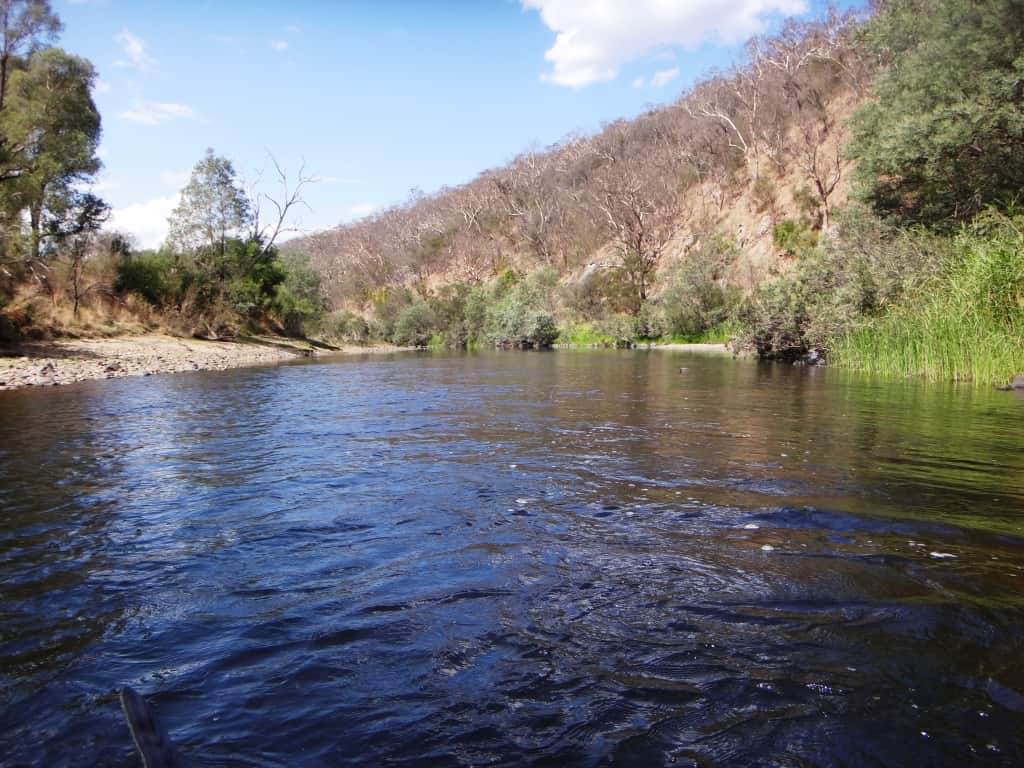
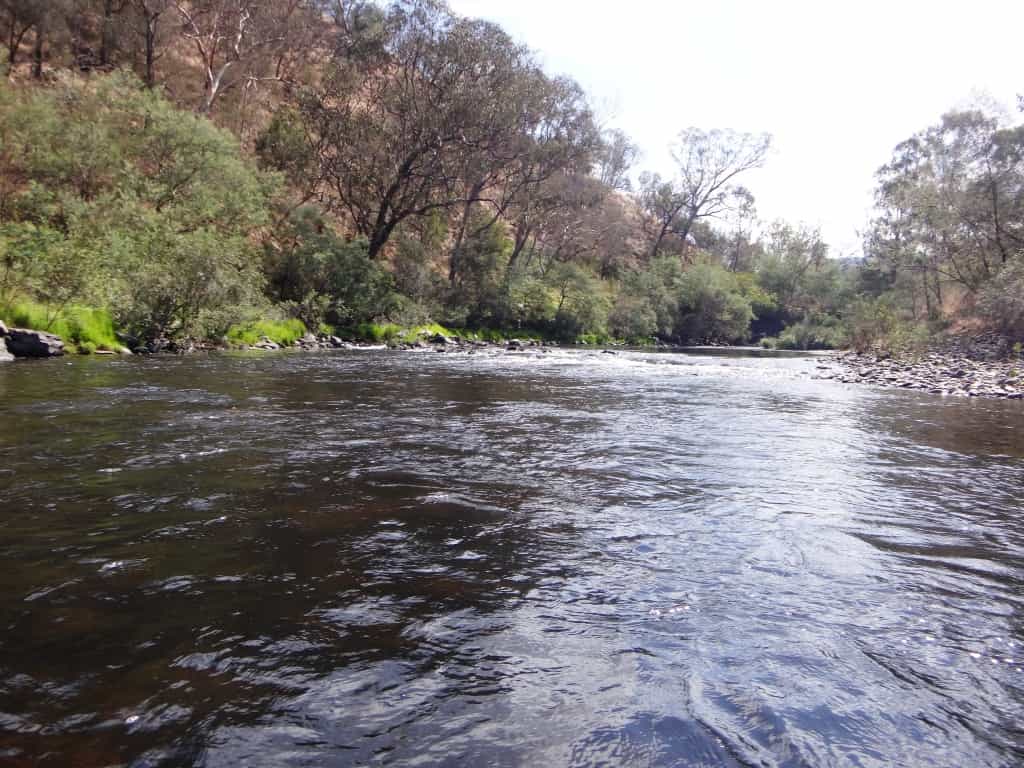
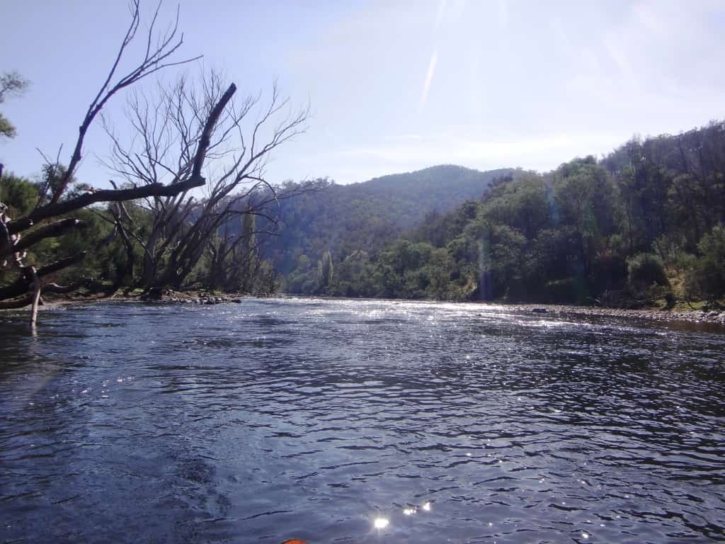
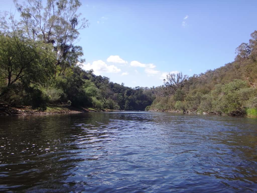
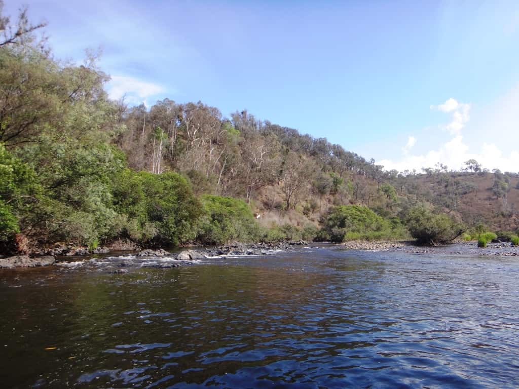
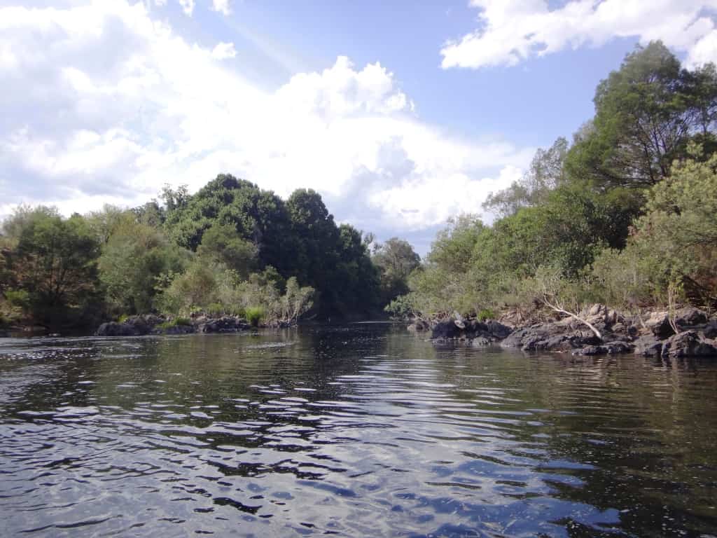
It is about three hours’ paddling before you are clear of fairly frequent private houses/weekenders (probably one every kilometre) then you have (mostly) bush on either side pretty much all the way, so you will not have much trouble finding a suitable spot to camp eg between approx the National Park boundary and Pannnikin Point which is about half-way – on the right bank. I camped earlier than this.
On this trip (surprisingly) I frequently saw deer (even in daylight) but was unable to photograph them. When I camped overnight I was serenaded for over an hour by around a dozen of them whom I attempted to video, but just at that moment my camera battery went flat: I need to buy a new one:
I had intended to take a leisurely three days but when I arrived at the Surprise Rapid before 3:00pm I realised I could be at Angusvale in a further two hours – and so back to my sweetheart by 9:00pm. Still, I managed to paddle seven hours on that second day (between 25-30 kilometres) then drive a further four hours, so that when I say I will succeed in a future foray on the Dusky Track now that I have new eyes, I am not far from the mark.
There is much bird life, for example very many bee-eaters (or rainbow birds) early on, large numbers of water-birds, ducks, divers, shags, cranes etc. Eagles in the sky practically the whole trip. And a plethora of others. No rails were sighted.
I only take a small waterproof pocket camera (for obvious reasons) on such trips, but someone who was better equipped could obtain some wonderful avian photography (if you stopped frequently to get the camera out of a waterproof enclosure of some type).
You should study my much more extensive photographs from our earlier trip if you want a better detailed idea of the river, ie: Waterford to Angusvale Day One &ff.
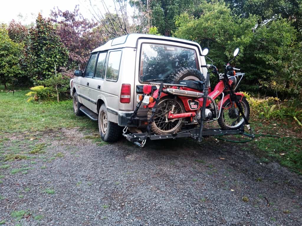
Crossing Cobbanah Creek during the shuttle.

Ready to launch at Castleburn Creek confluence
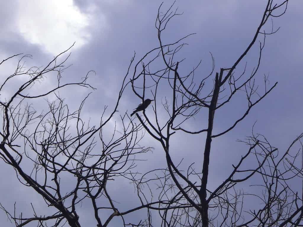
Bee-eaters were swooping and calling everywhere.
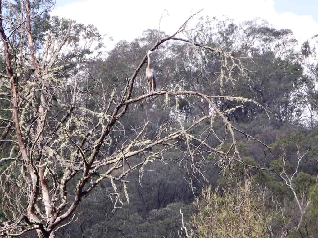
And numerous other bird-life – here a blue crane.
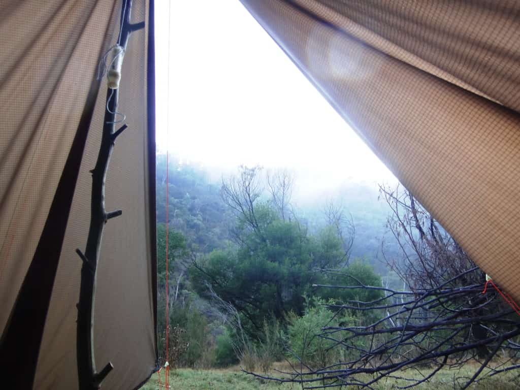
A morning view from the new Deerhunter’s Tent (prototype).
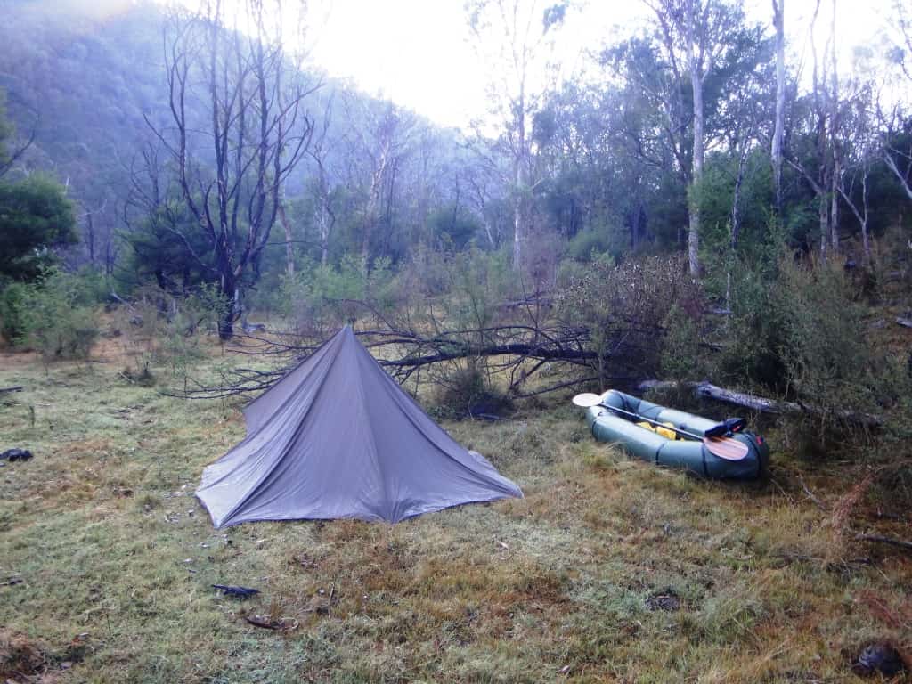
The ground was really hard where I ‘chose’ to camp so I did not get a taut pitch, as you can see. The deer were honking in the thin bush just to the right of the tent. They had grazed (and thrashed) this area extensively and clearly saw it as their own!
Leaving camp.
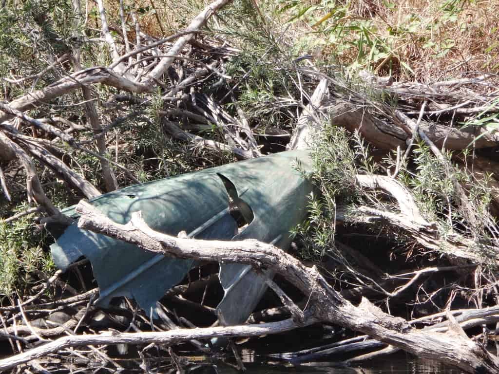
It looks like a Nylex Pioneer – except it is smashed. They are plastic boats. Perhaps it was washed away in a flood and has been drastically tumbled and torn.

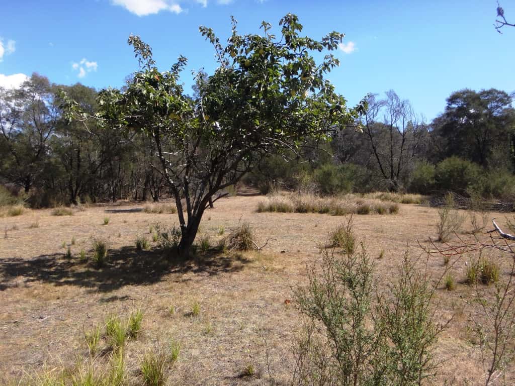
I am always on the look-out for abandoned orchards. There is a great crop of quinces to be had here.
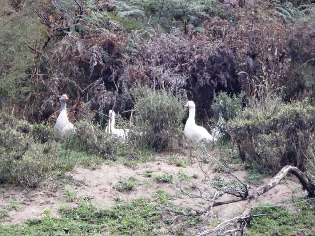
Tabberaberra geese.
People had been camping at Scotts, so perhaps the gate is left unlocked.
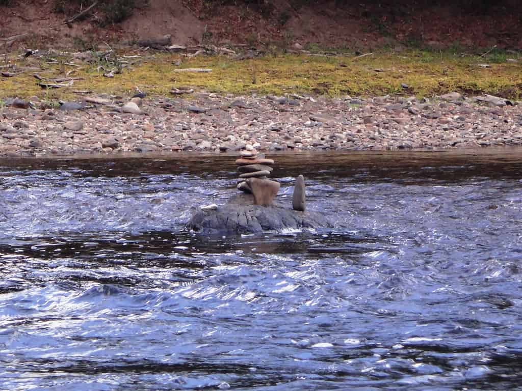
One of those Grade 3 rapids.
After Scotts you begin to see these ‘water gums’ which would be such an excellent (native) replacement for willows – though I really love willows myself.
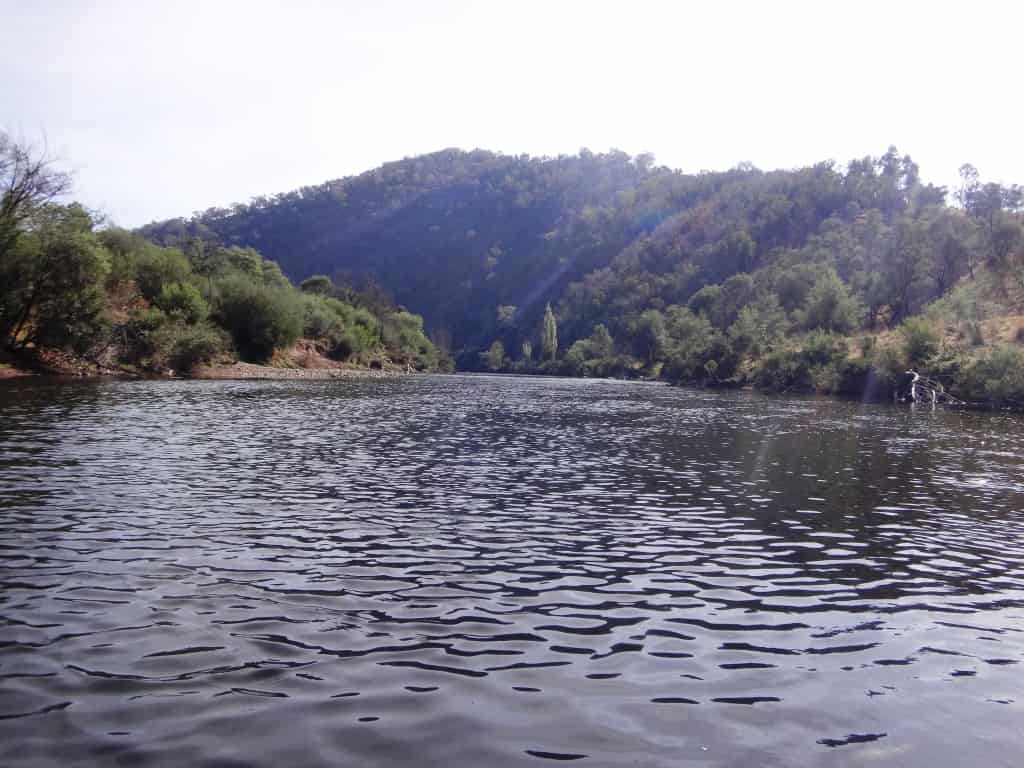
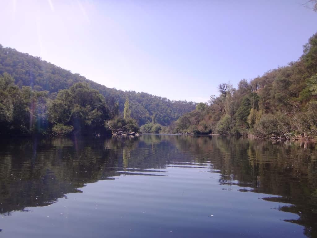
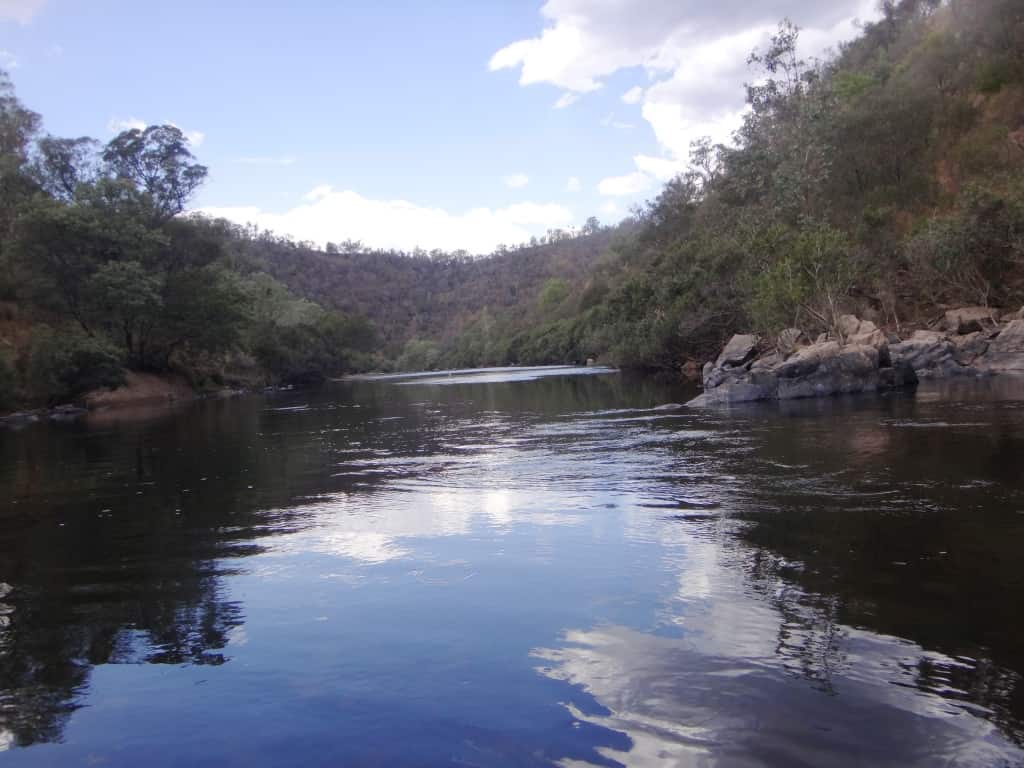
Wentworth River confluence
I highly enjoyed this trip in beautiful weather in the high 20s. If you are looking for a remote day-trip or a placid overnighter, you should give it some thought. The car shuttle is about half an hour each way.
PS: I pack rafted the section below this (Angusvale to Glenaldale) at a lower height than this: Glenaladale Weir: Began Trip .65 ended .66; Waterford: 1.63-1.57. See the posts below beginning Mitchell River.
NB: You can put in at the Den of Nargun for an enjoyable one-day trip – or conversely get out there for a weekend trip.
See Also:
Waterford to Angusvale Day One
Waterford to Angusvale Day Two
Waterford to Angusvale Day Three
Twenty five k’s on second day – extraordinary! I like the look of the online store btw – had not noticed that tab/link before. Nice idea.
Thanks Alan.
Wow. How good was that. Great pictures. I’m not at all envious, much.
Thanks Alan. Give it a try after the rainfall this week. You will enjoy it. Cheers, Steve.
I would if a, I had a pack raft and b, if I wasn’t 9500 miles away.
Oh well, there are other rivers!