I canoed this lovely section of river from Angusvale Camping Ground to the Glenaladale Bridge over the last three days in my Alpacka packraft. The river heights were at the bottom end of this section’s canoeability (see note below) and the smoke from the huge bushfires the environmentalists are having in East Gippsland spoiled the visibility (of the photos) but all in all it was a wonderful trip.
I left my car (and trailer) at the Glenaladale Bridge (plenty of parking on the North bank) and rode my motorbike to Angusvale where I parked it under a shady tree with a note affixed on both saying, ‘Canoeing the River’. This was a precaution against campers calling the police over an abandoned motorcycle as happened to us when we canoed the section Waterford to Angusvale!
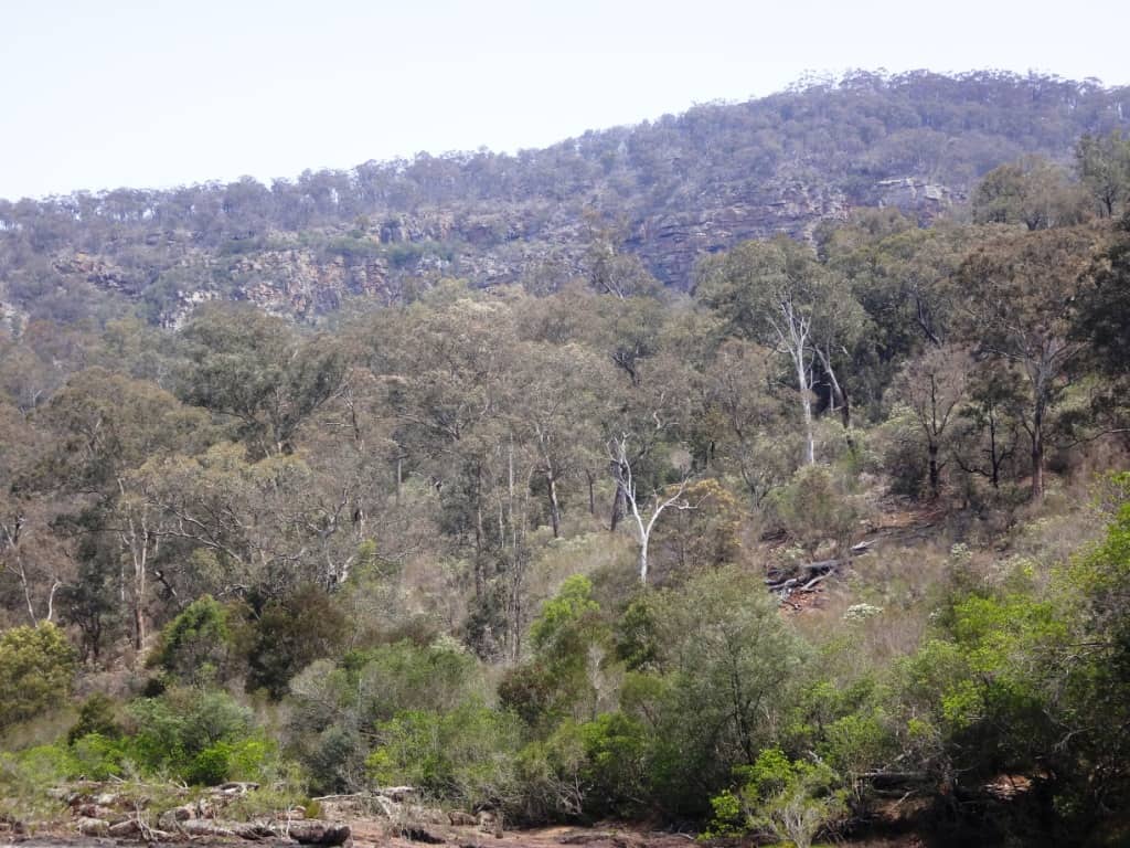
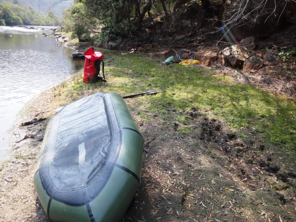
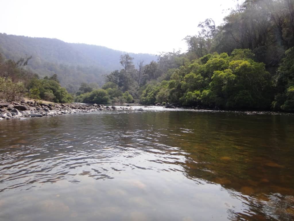
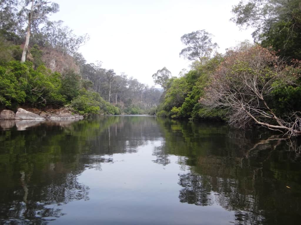
Setting out from the Angusvale Camp Ground. 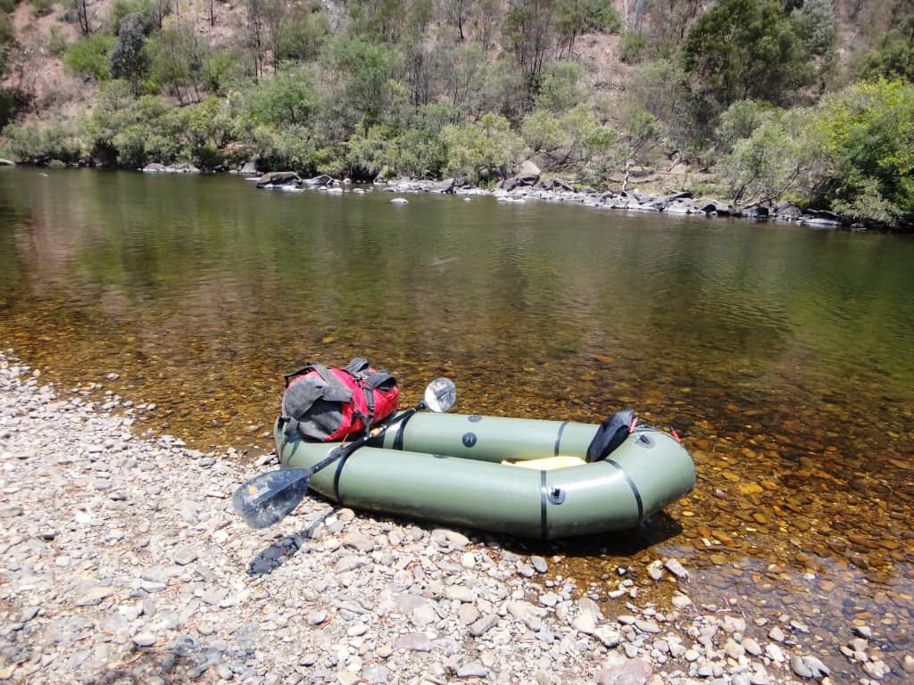
I have included a lot of photos to give a clear indication of the conditions likely to be found along the river. They are in order. The canoe height shown throughout was approx .65 on the Glenaladale Gauge. People claim the conditions are ‘best’ at 1.3 metres which I misdoubt I would survive any more. I think .8 or thereabouts would be preferable. This is a common river height in the summer months – but not this year!
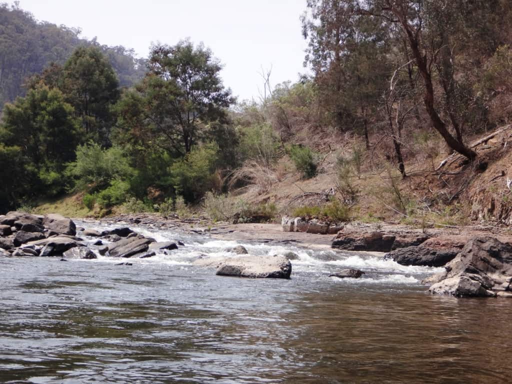
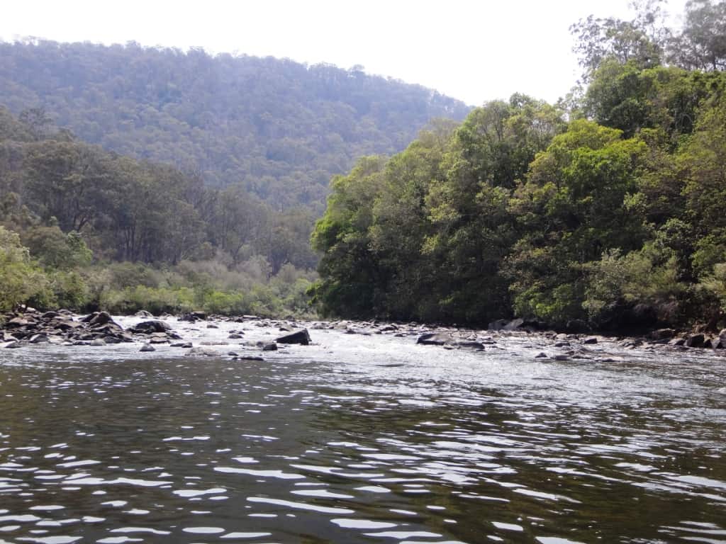
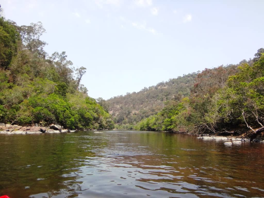
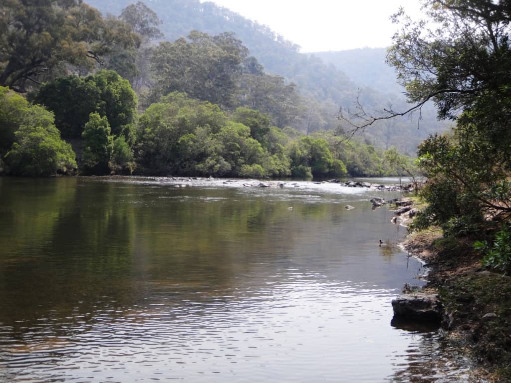
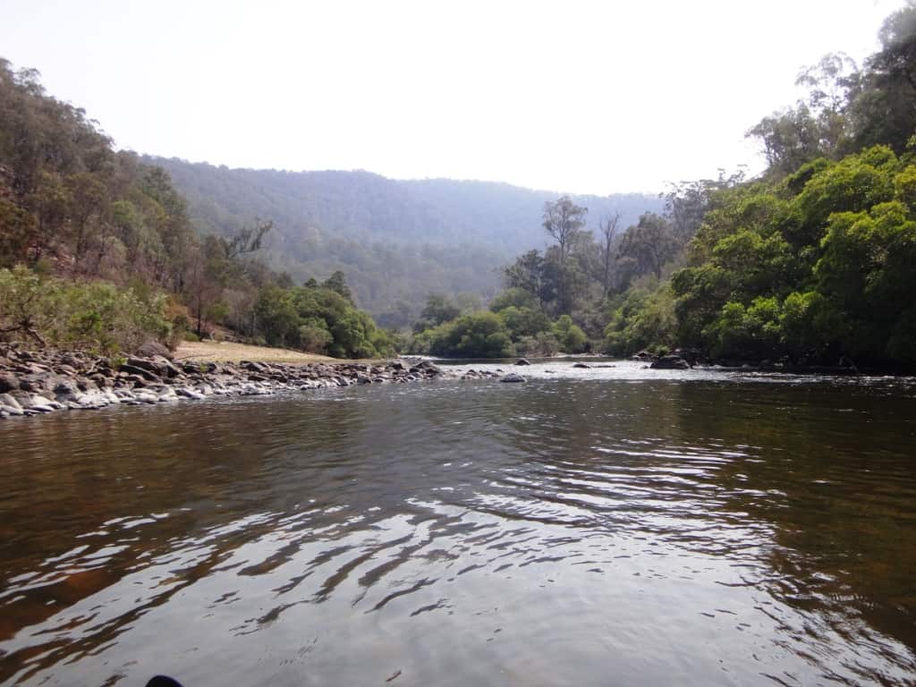
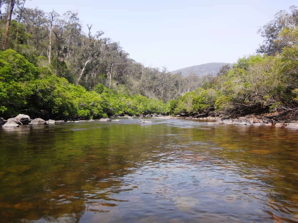
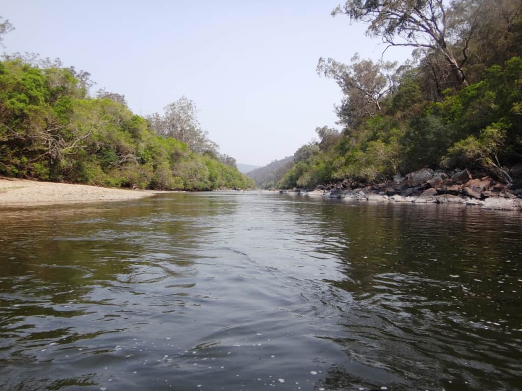
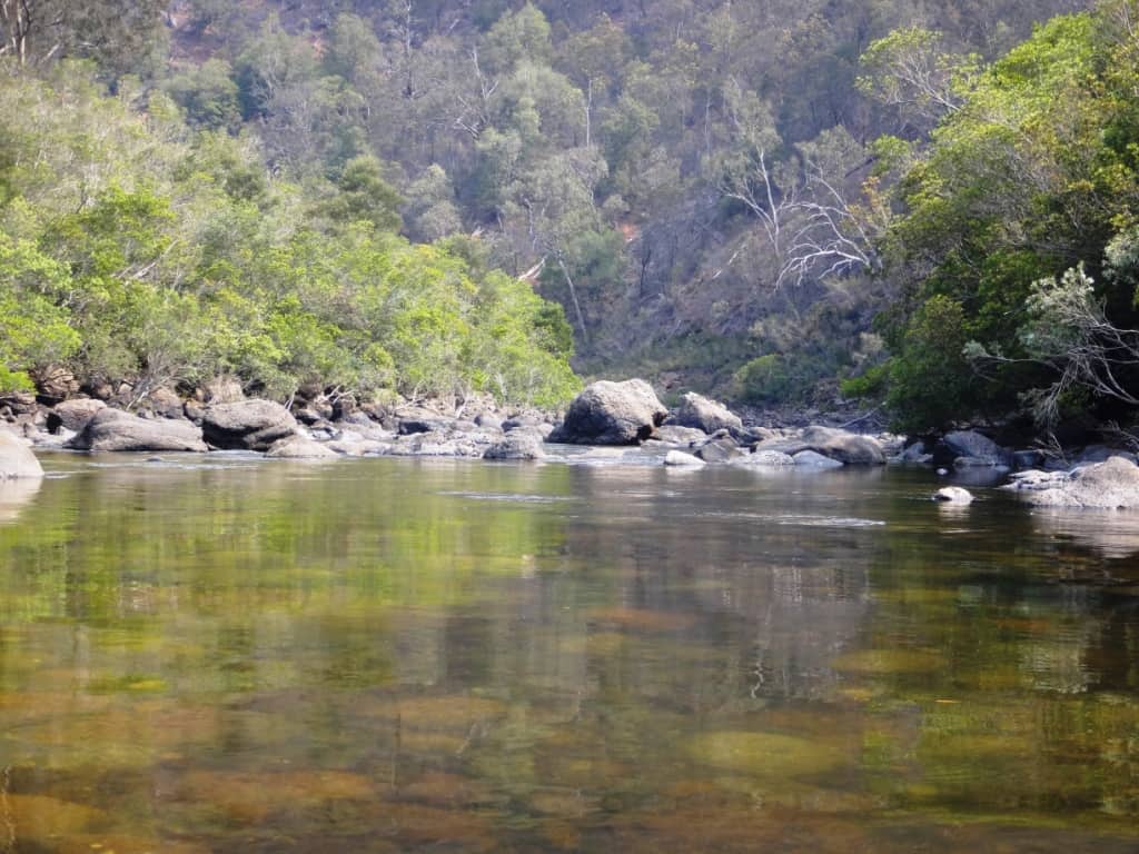
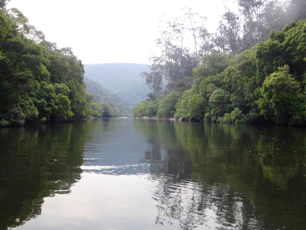
This section of the river is characterised by many long, slow deep sections
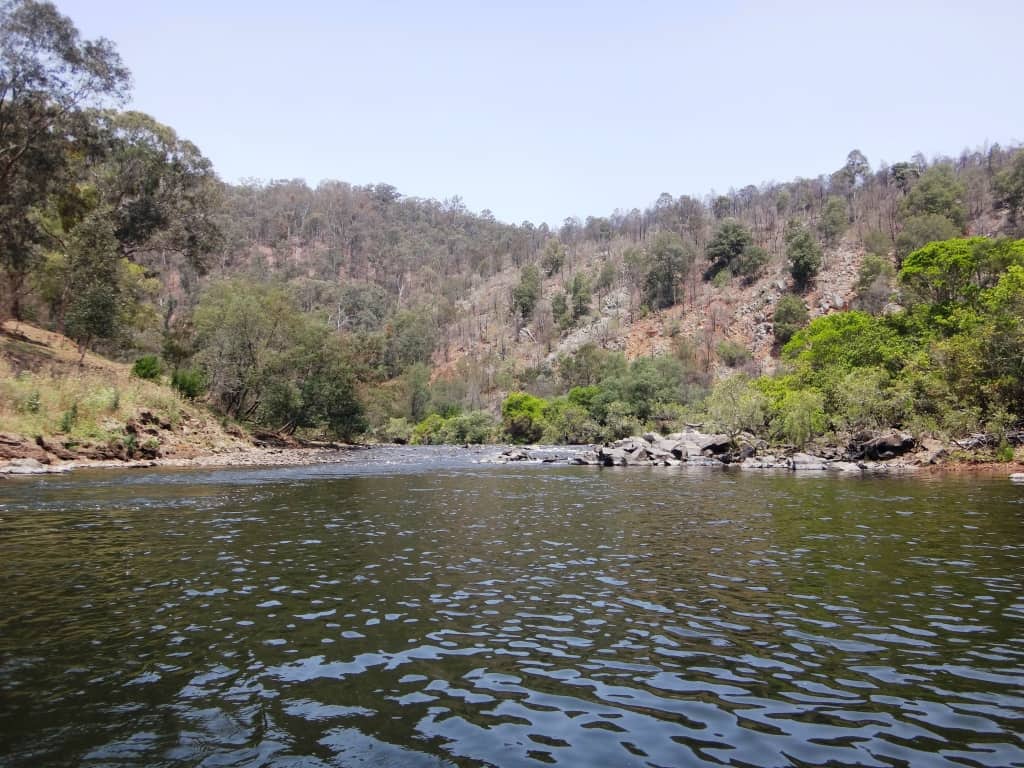
Such as these.
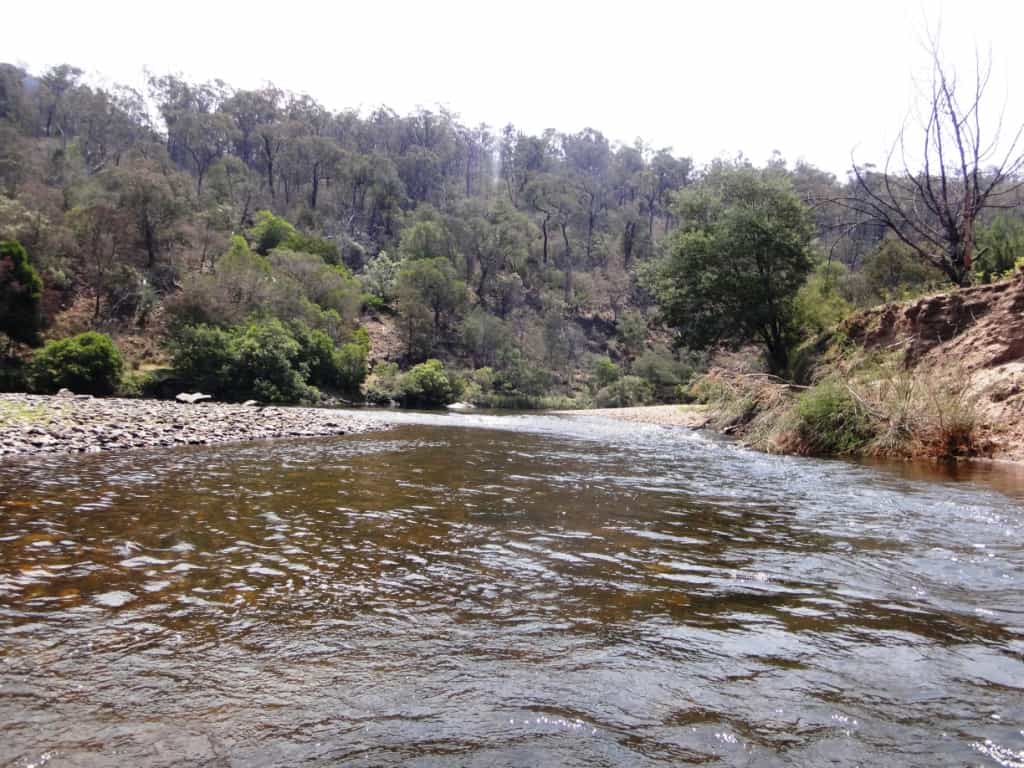
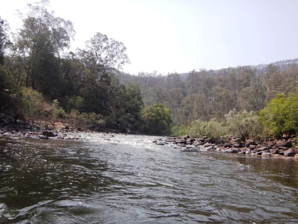
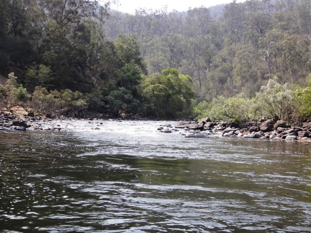
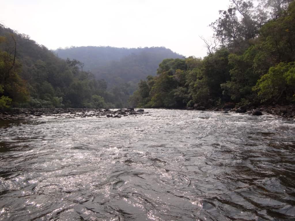
Pebble races.
A couple of km below Angusvale the inconspicuous 4WD Mitchell Track parts company with the river. From here on the river flows through a splendid wilderness. You can see that it is 9 1/2 hours walking the Mitchell River Walking Track to the Den of Nargun (cave). The track continues another 7-8 km (3-4 hours) to the end of Findlay Alexanders Rd (Glenaladale Bridge). If you are walking it you generally have to slip off the track (down a ridge here and there) to get water (in summer). More details later.
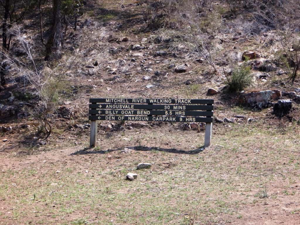
There are a number of complex rock gardens, some of them stretching hundreds of yards. Most you can just bump on down in your packraft at this river height, except or the two biggest: the Amphitheatre and Final Fling Rapids. There are quite a few (as the next photos show just below the sign (on the right bank) above
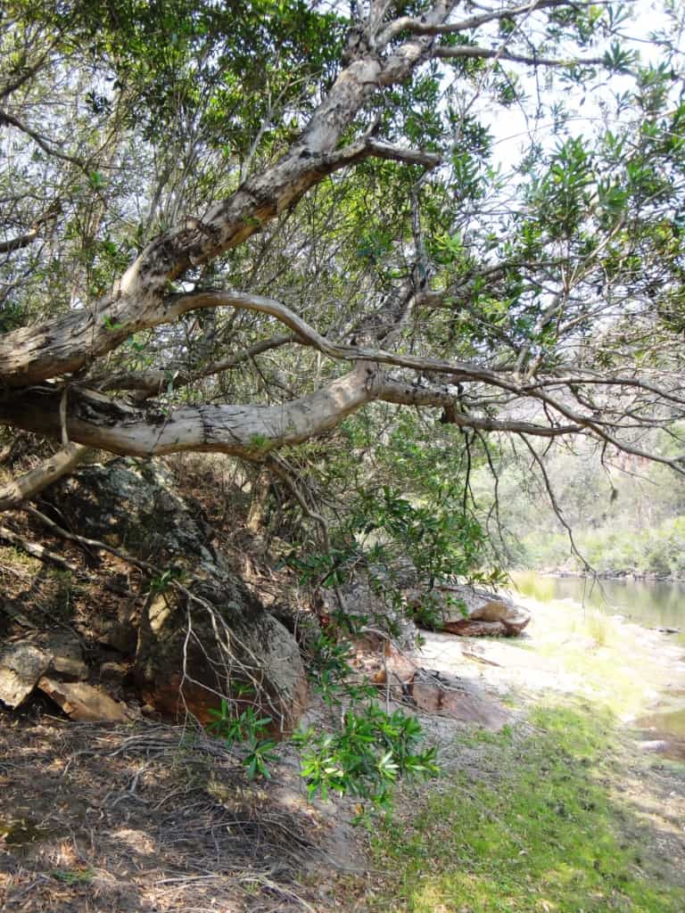
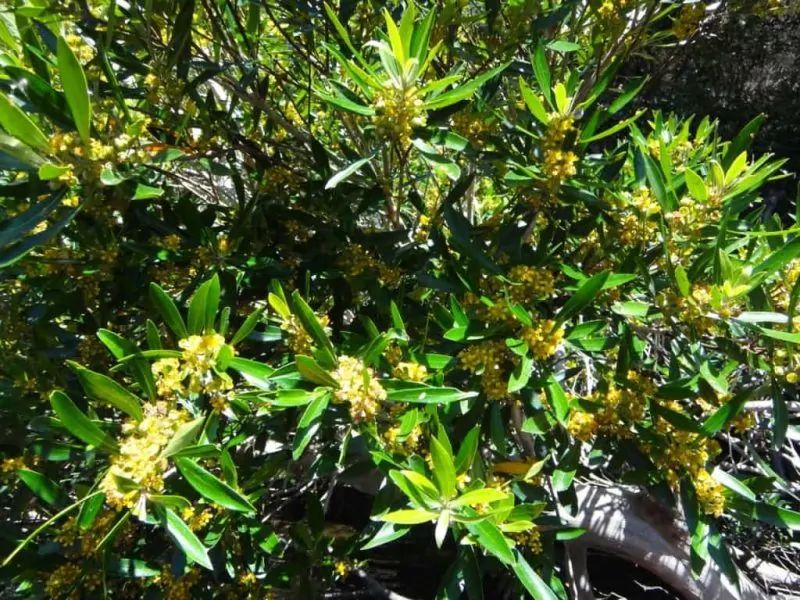
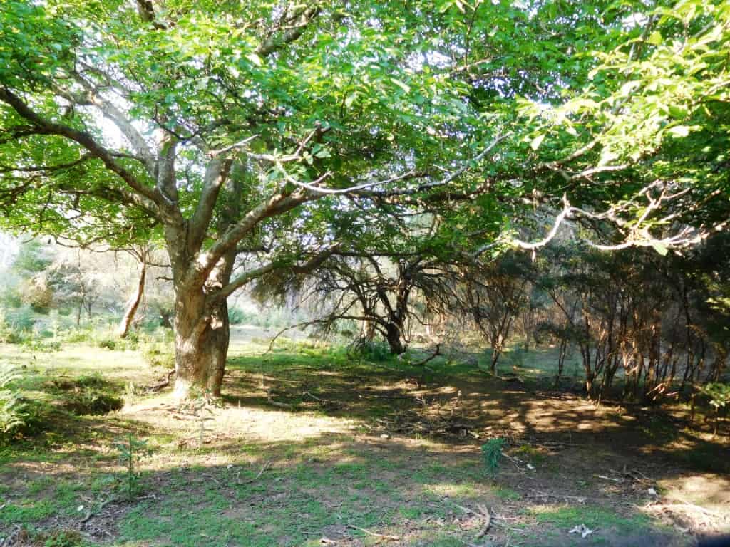
If you have been noticing the unusual trees along the river (in the photo above for example) they are Water Gums or ‘Kanooka’ (https://en.wikipedia.org/wiki/Tristaniopsis_laurina) They are a very attractive tree producing a cool dense shade (along the Mitchell) and holding the banks together well. River management should be replacing willows with them (if the former are to be removed)
NB: Later in the season they have these attractive flowers too:
A shady lunch stop under similar shade.
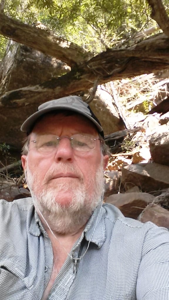
And time for a ‘selfie’.
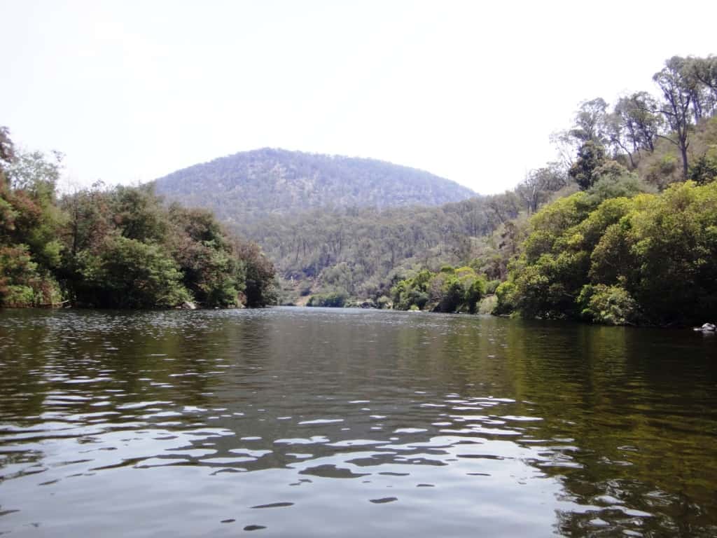
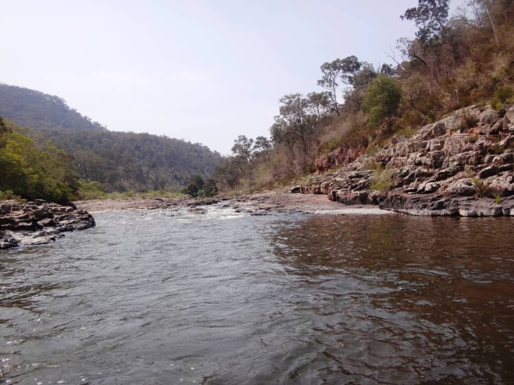
And then onwards.
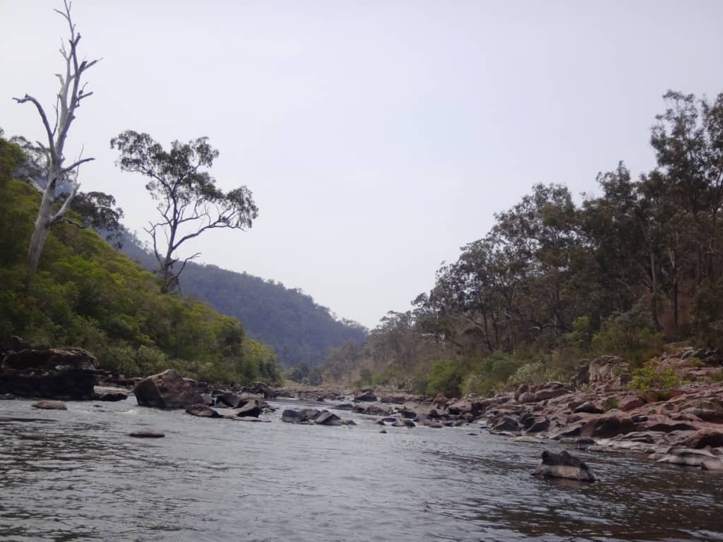
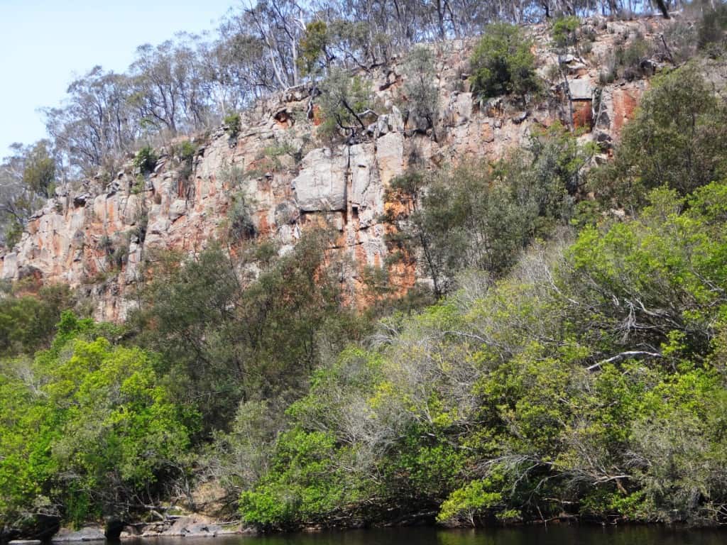
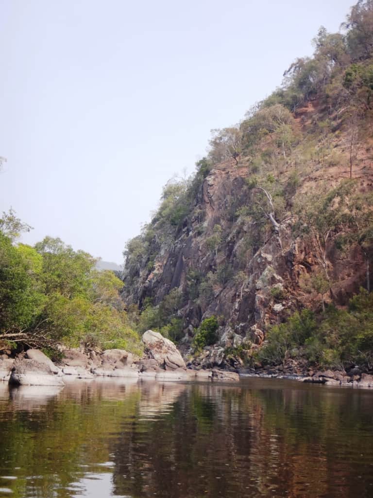
Beginning to see some beautiful silt-stone cliffs which are a feature of this section of the Mitchell.
You will see many reminders that the river can be a trap for the unwary:
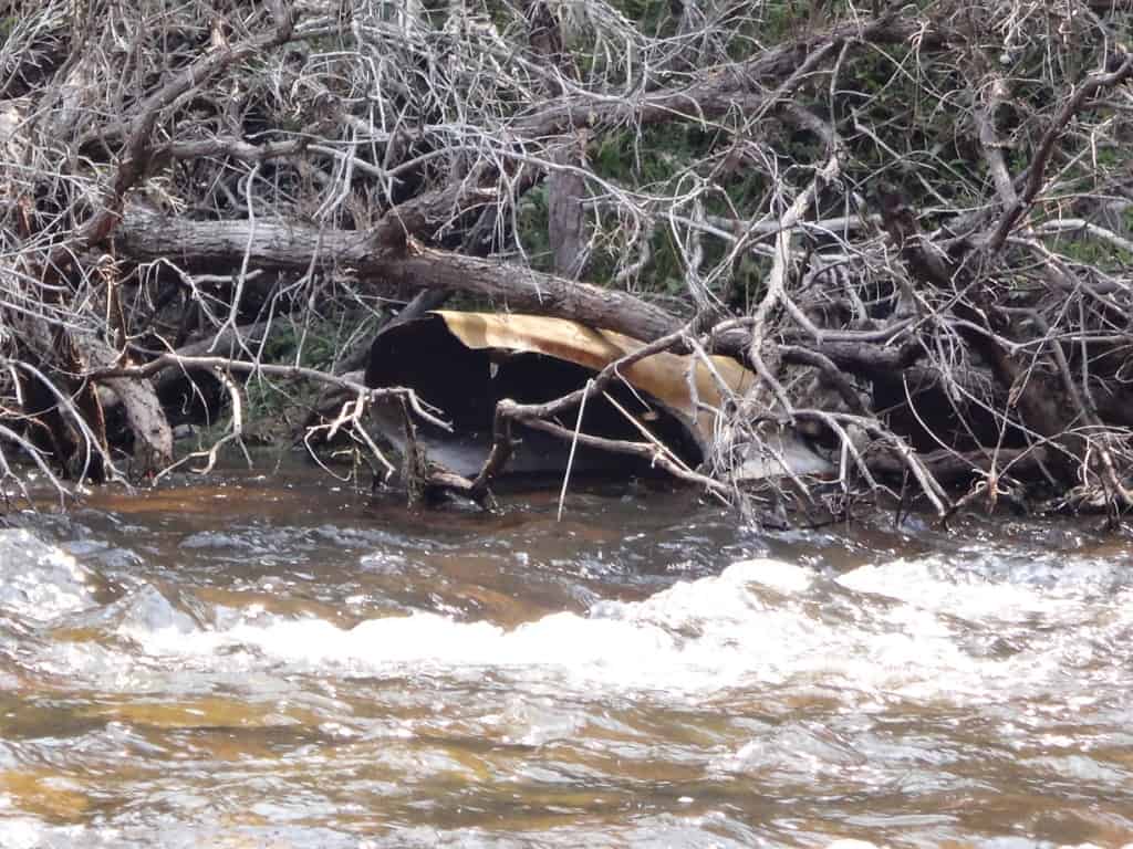
This one is a bit trickier.
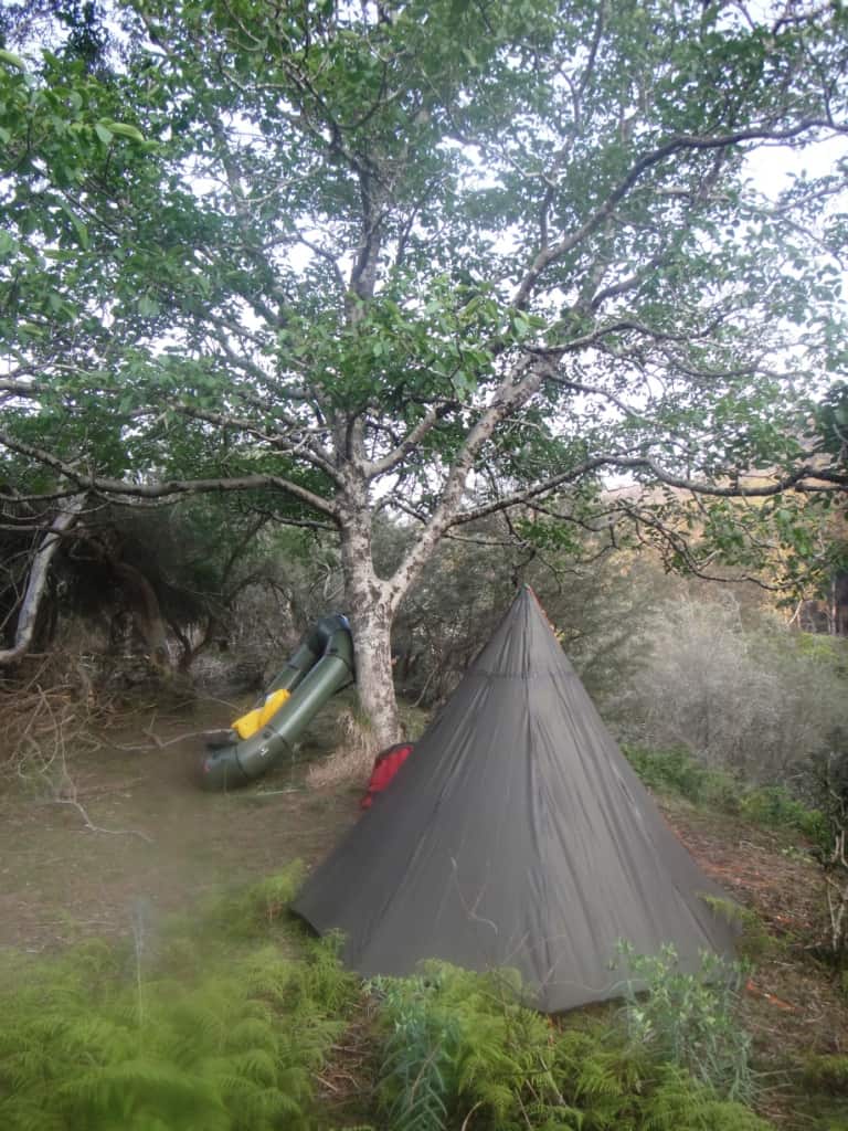
After four hours I camped right under a spreading walnut tree on the right bank – what could be better?
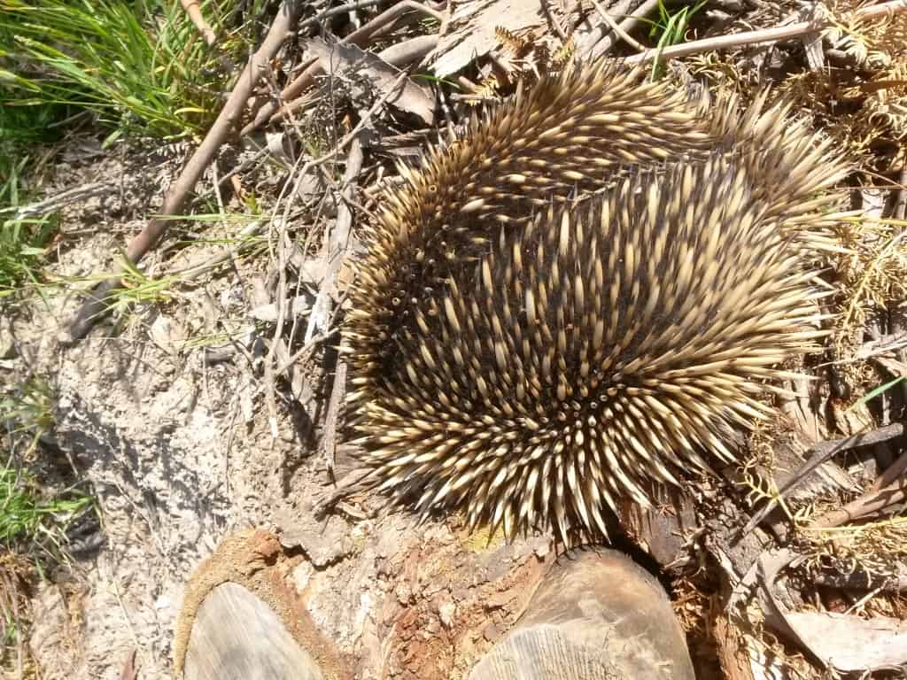
A spiker creeps down to the river for his evening meal:
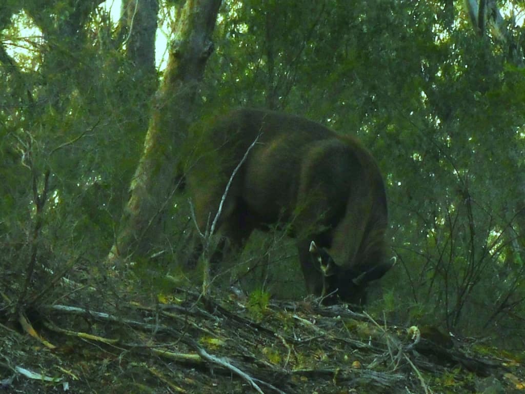
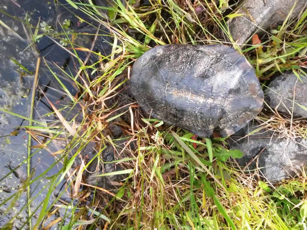
Some other creatures seen along the way:
What a deer magnet a walnut tree is. Every tree in this grove had the remains of a deer under it – like this one!
River Heights: Glenaladale Weir: Began Trip .65 ended .66; Waterford: 1.63-1.57; Crooked River: 1.31 – 1,26. These figures probably give you some idea about the comparability of the three gauges. Adventure Pro claimed the river was canoeable from .6 on the Glenaladale Gauge. This is probably about right – for packrafts anyway, but you would expect portages across many rapids. I know I just managed a few and portaged 2.3 at nearly 2″ more water than that. That being said this section of the river is characterised my very many long still deep so you might enjoy the experience even when river heights are low – as they are at the moment.sections where you might have to paddle against a headwind. It would be much more enjoyable with a couple more inches of water eg .8 on the Glenaladale Gauge.
Times:
Angusvale Camp Ground to Jorgensens 4 hours
Jorgensens to Amphithesatre Rapid 3 hours
Amphitheatre to Den of Nargen 2 hours
Den of Nargen to Glenaladale Weir 2 hours
Glenaladale Weir to Final Fling 2hours
Final Fling to Glenaladale Bridge 3/4 hour.
Portages approx 1/2 hour.
Campsites: are not wonderfully numerous on this section of the river., though they are to be found. There are hardly any between the Amphitheatre rapid and the Den of Nargen for example, though there does appear to be a bench a chain up from the river on the true right bank which might provide some good spots. There are also not many spots after the Glenaladale Weir, but there are some. Mostly folks have been camping on the lovely sandbars along the way and at the confluences of major creeks. There are shadier spots a little further away from the river which you really need to look out for (look for the benches I mentioned earlier). There is a delightful spot on the true left bank just above the Roaring Mag Creek, for example.
The Glenaladale Weir camping spot is a delight. I camped there and above and opposite Jorgensens. The trip took me 14 hours on the water, so it would have become fairly tedious if done over only two days. You would have to make an early start and a late finish at very least. If you are packrafting you can get out at the Den of Nargen and walk up to the Caravan Park.. Doing so would cut nearly five hours off the trip making it much more suitable for an overnight trip. Of course with more water (and fewer years of age) it might be done much more quickly. You should allow some leeway so that you can perhaps wait an hour or more for a suitable camp to show up.
For More About the Wonnangatta/Mitchell River, see:
See Also:
http://www.theultralighthiker.com/pack-rafting-the-remote-wonnangatta/
http://www.theultralighthiker.com/remote-wonnangatta-day-two/
http://www.theultralighthiker.com/a-wonnangatta-spring/
http://www.theultralighthiker.com/a-wonnangatta-spring-day-two/
http://www.theultralighthiker.com/a-wonnagatta-spring-day-three/
Section 1: http://www.theultralighthiker.com/wonnangatta-kingwell-bridge-to-black-snake-creek/
Section 2: http://www.theultralighthiker.com/wonnangatta-black-snake-to-hut-creek/
Section 3: http://www.theultralighthiker.com/wonnangatta-hut-creek-to-waterford-bridge/
http://www.theultralighthiker.com/canoe-wonnangatta/
For River Heights: http://www.theultralighthiker.com/canoeing-the-wonnangatta-catching-the-wave/
http://www.theultralighthiker.com/pack-rafting-the-wonnangatta-mitchell/
http://www.theultralighthiker.com/videos/dawn-surprise-rapid-wonnangatta-river-australia-day-2017/
http://www.theultralighthiker.com/wonnangatta-waterford-to-angusvale-day-one/
http://www.theultralighthiker.com/wonnangatta-waterford-to-angusvale-day-two/
http://www.theultralighthiker.com/wonnangatta-waterford-to-angusvale-day-three/
http://www.theultralighthiker.com/videos/canoe-wonnangatta-the-movie/
https://www.theultralighthiker.com/2019/12/23/marvelous-mitchell-river-day-1/