I spent a wonderfully restful night under the huge walnut tree lulled to sleep by the noise of the river rolling past – and surrounded by deer! The walnuts are a great magnet to them. They clearly check them daily to see whether a leaf or a nut has been discarded for their delectation. I notice that on the map this few acres has a National Park boundary around it on the map so that it may be a remnant of private property for all I know. What a weekend retreat!
Going…
Going…
Gone.
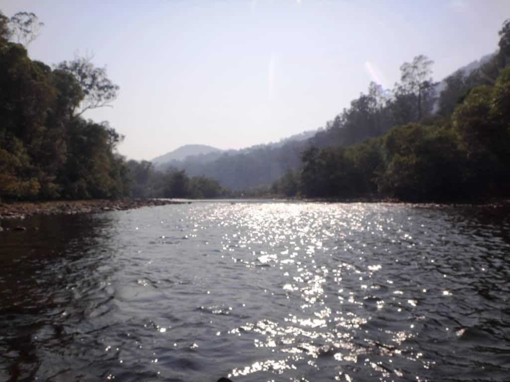
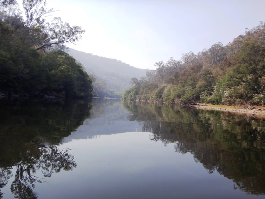
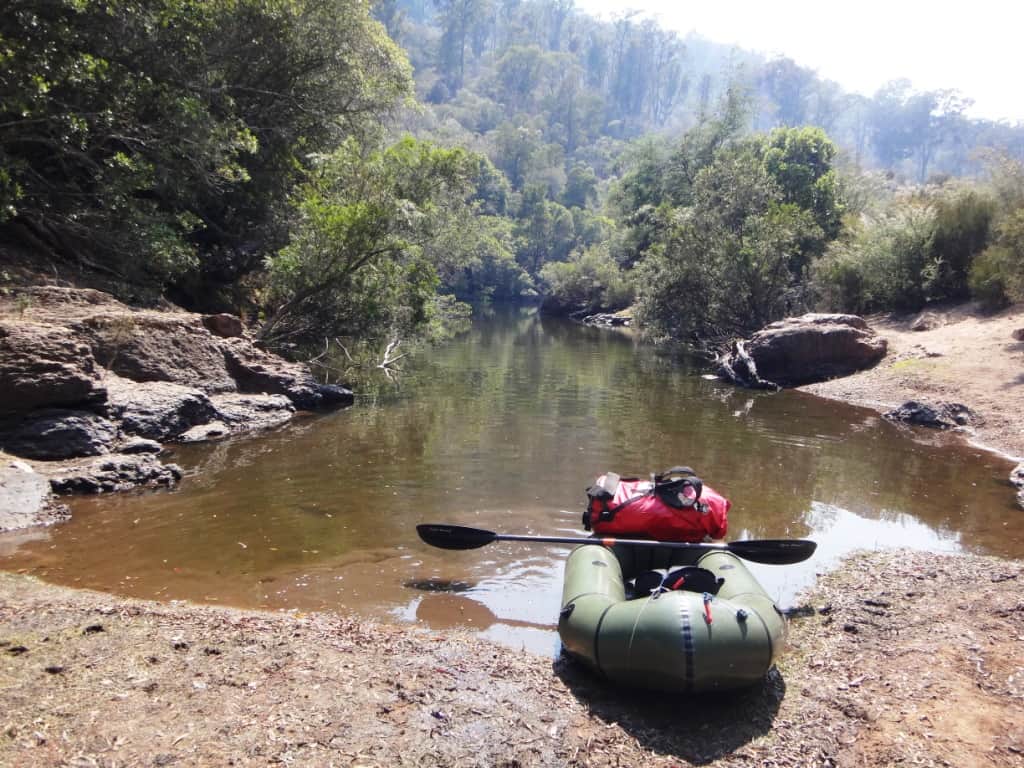
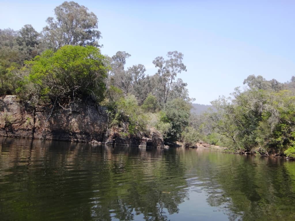
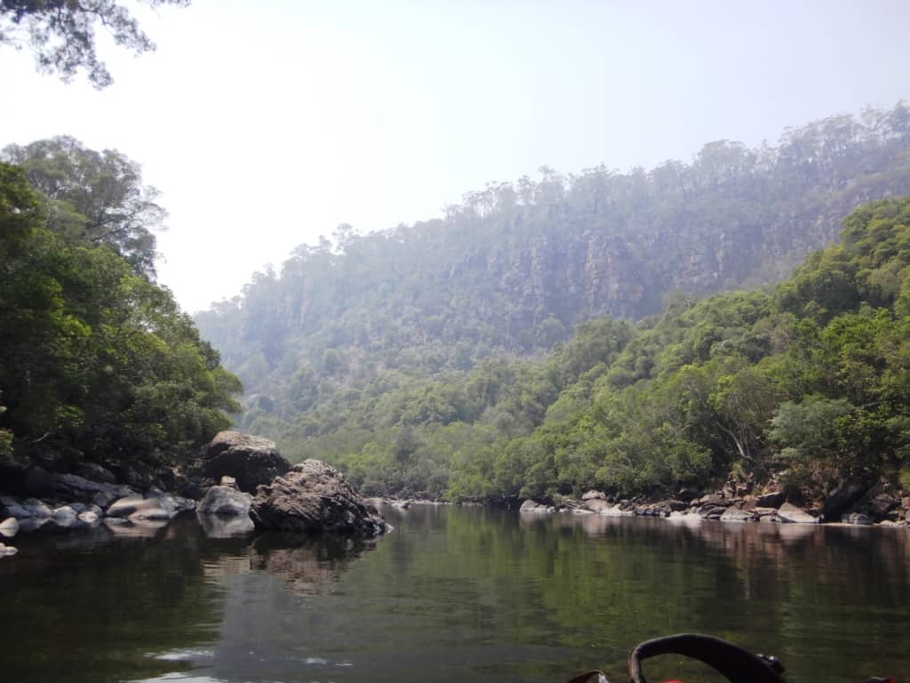
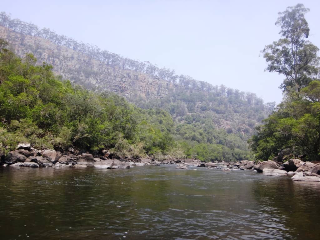
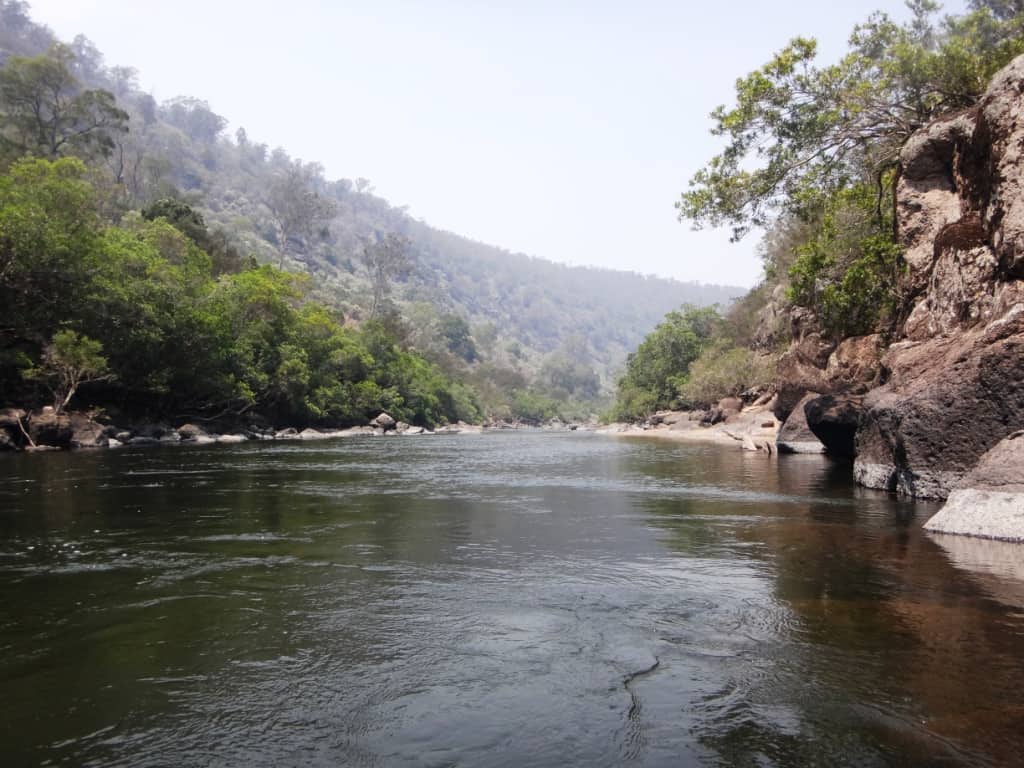
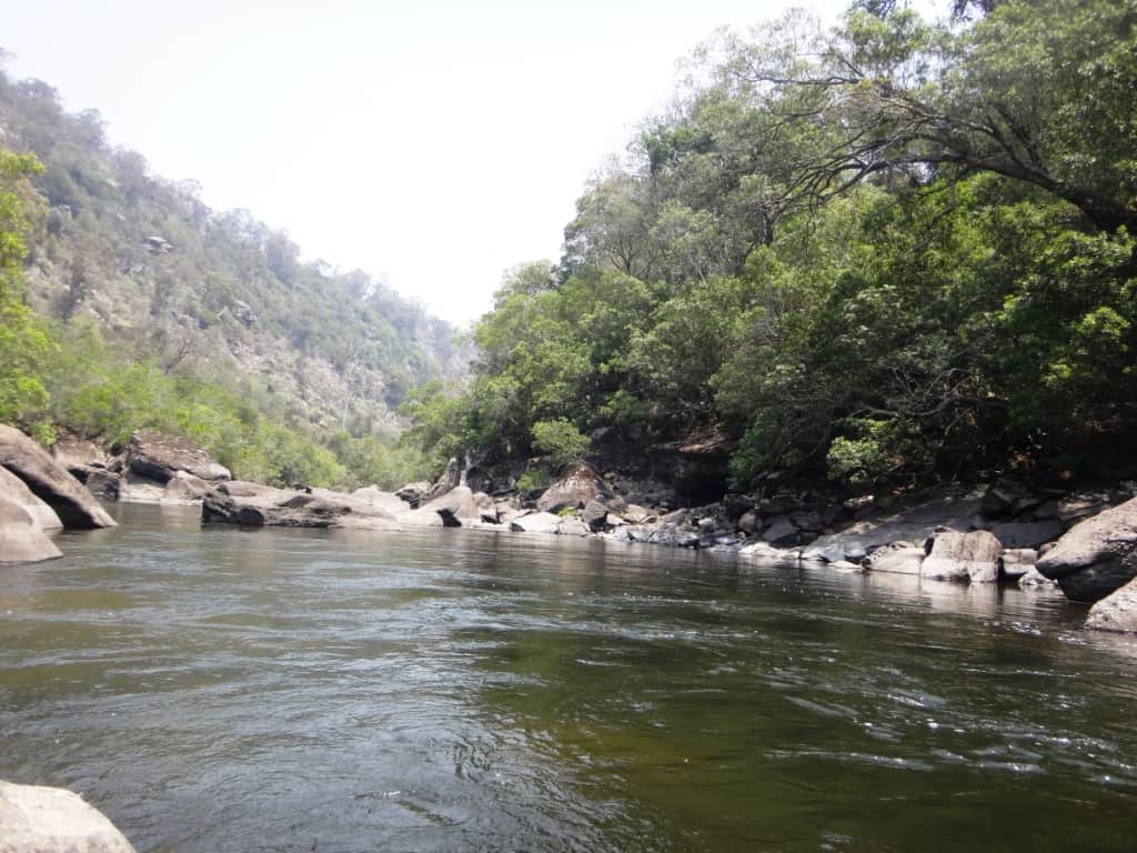
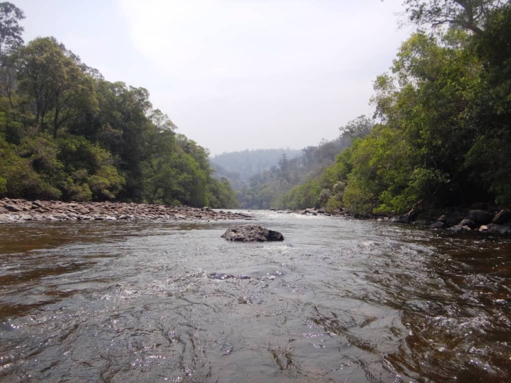
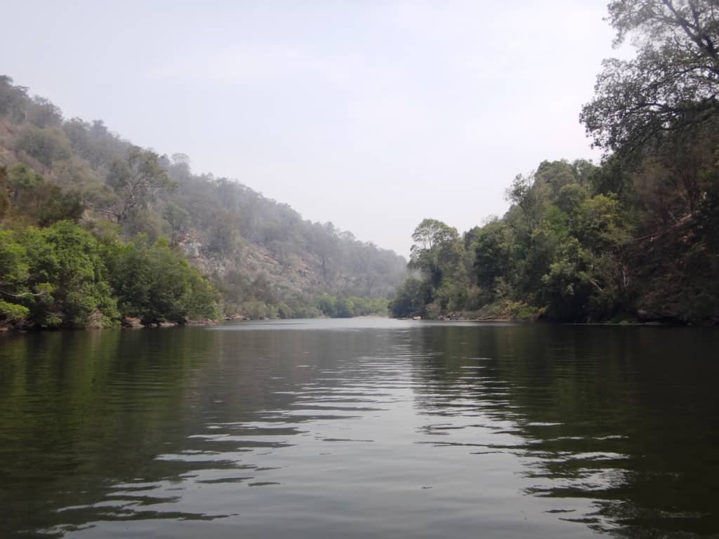
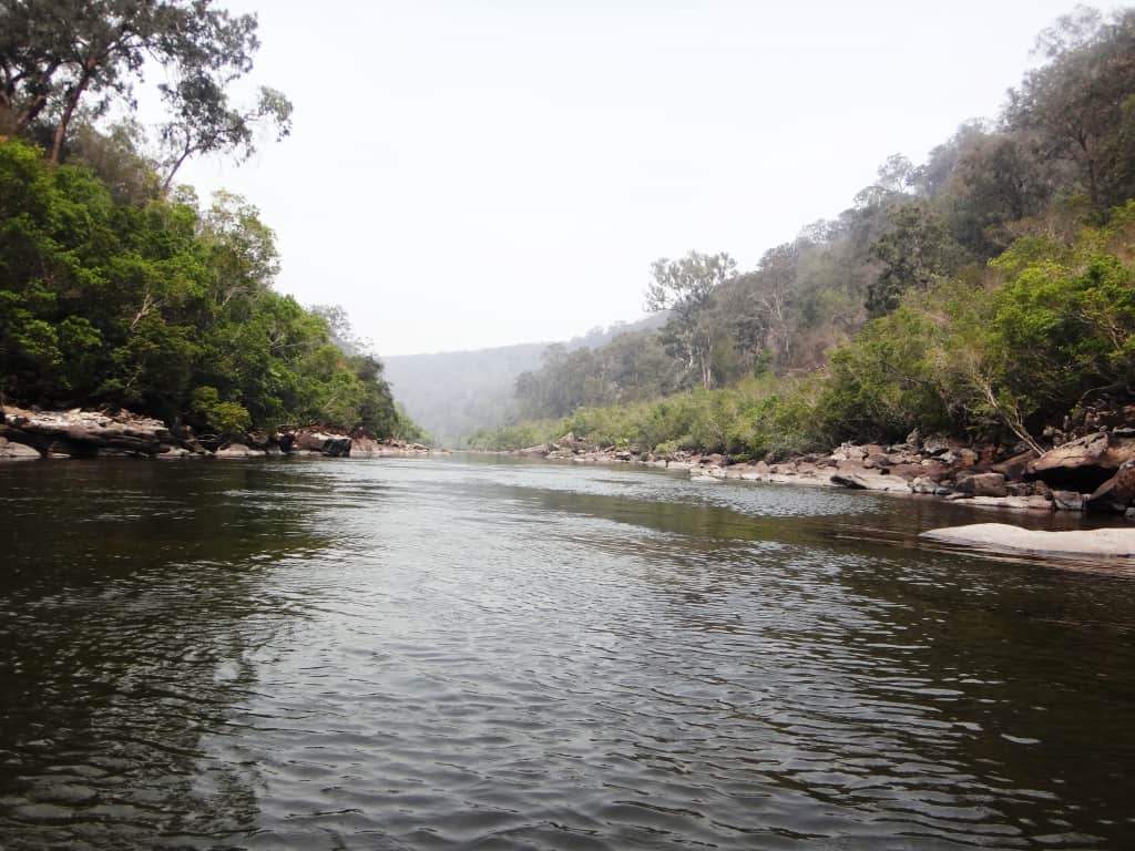
Such an enchanting river. I would be paddling for nearly eight hours today. Quite a big day for me.
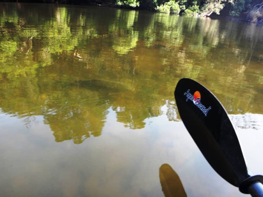
There are some big carp in the Mitchell, and I’m sure more desirable fish too.
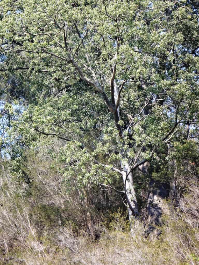
A relict brachychiton (kurrajong). They are a feature of the lower Wonnangatta/Mitchell though nearly a thousand km South of where they are much more common. A beautiful and very desirable tree.
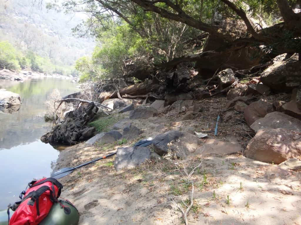
I got out to take a look at a beautiful campsite just above the Roaring Mag creek on the true left bank. A lovely honeyeater joined me.
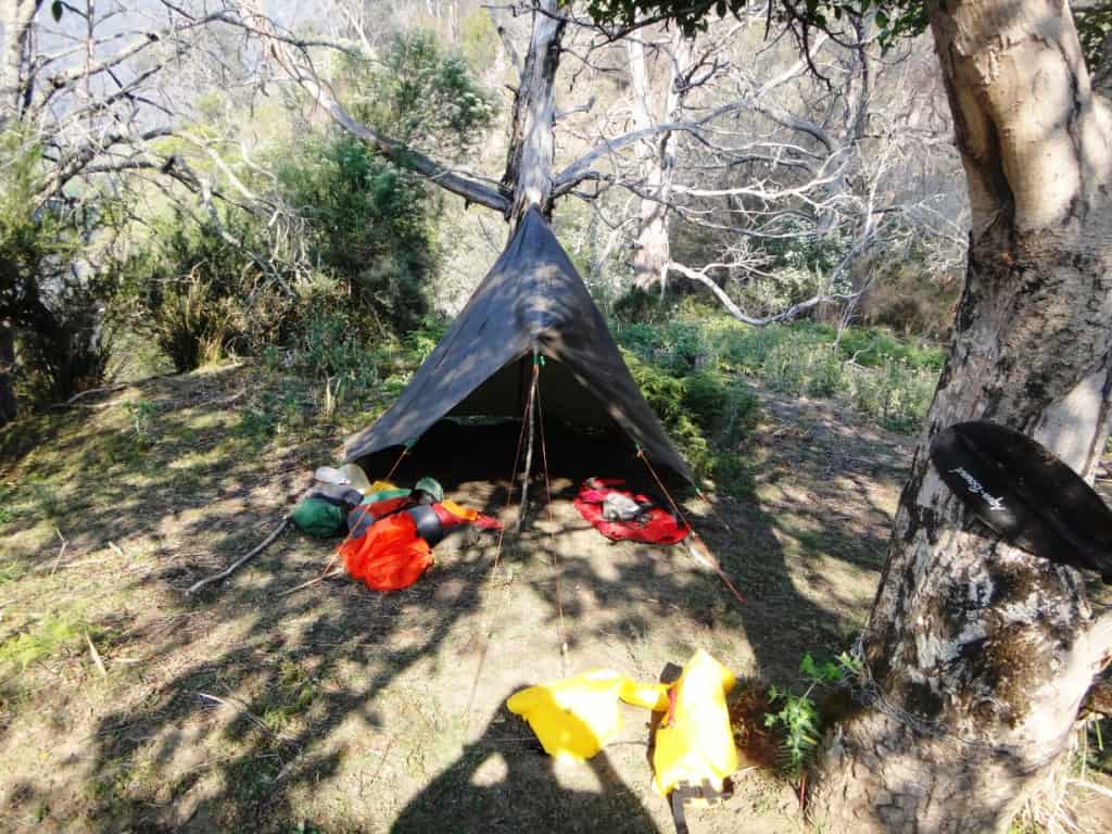
What a great camp in the midst of this tiny piece of temperate rainforest.
Cobbanah Creek on the true right bank would be a pleasant campsite so long as there were no flash-floods. On my map there is a small lake (or dam) about 200 metres long about 200 metres up the creek. I will check it out when Iwalk the Mitchell River Walking Track which parallels the river on the true right bank.
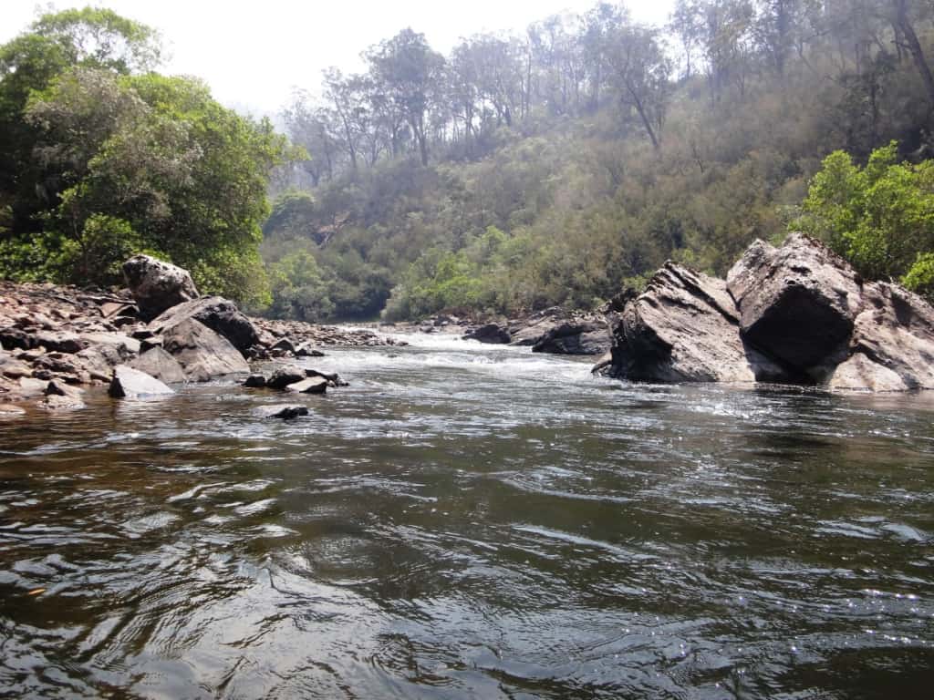
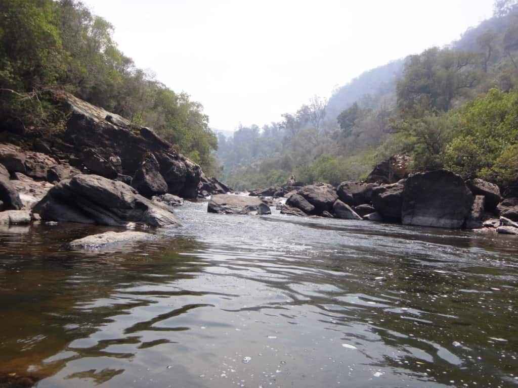
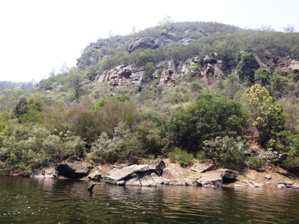
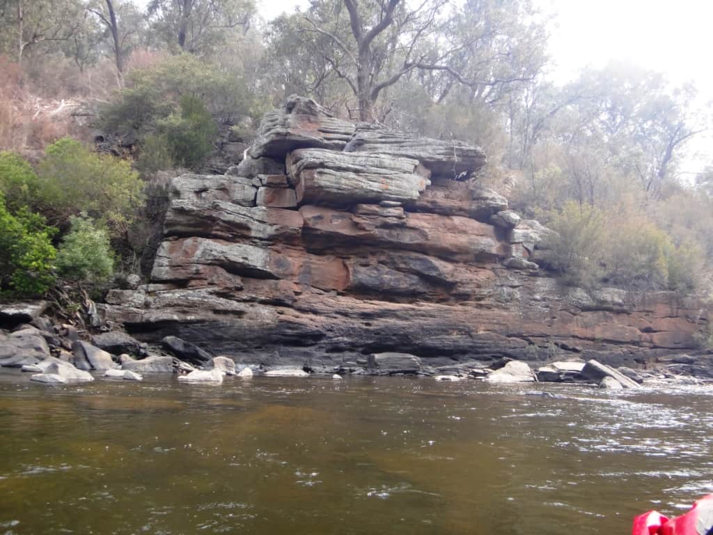
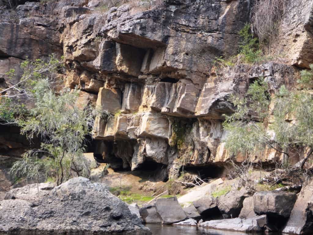
The rock faces at the entrance to the creek look almost as if they were man-made which they weren’t.
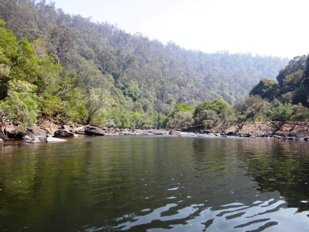
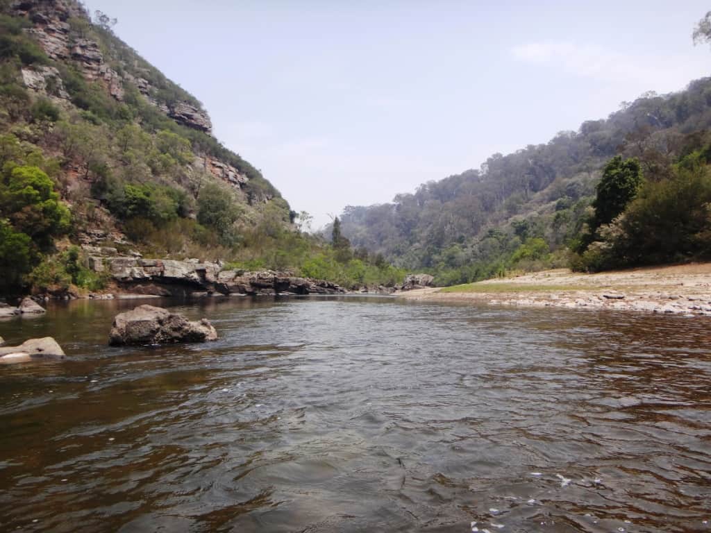
What a beautiful limpid pool!
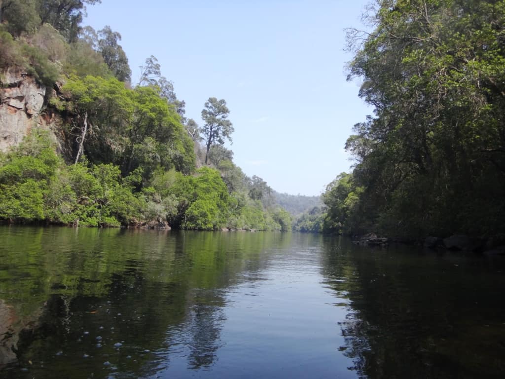
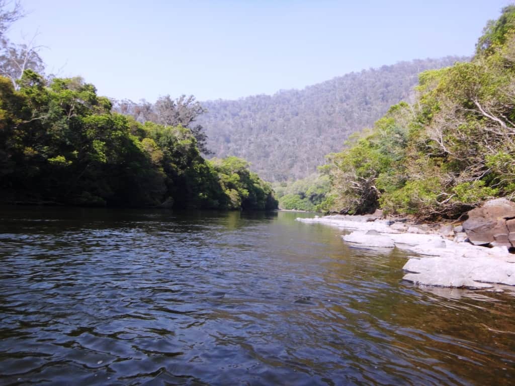
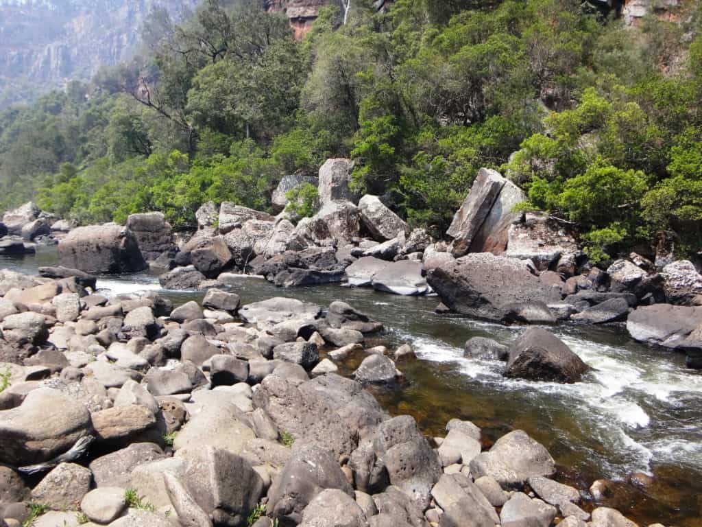
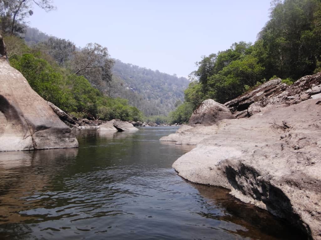
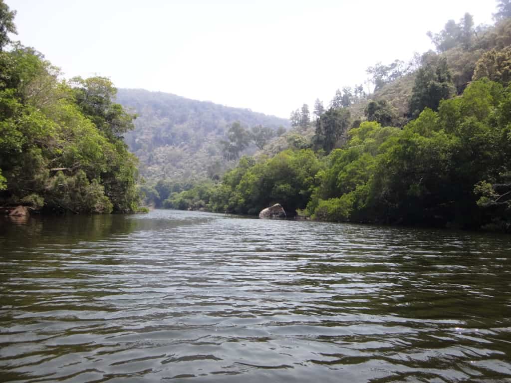
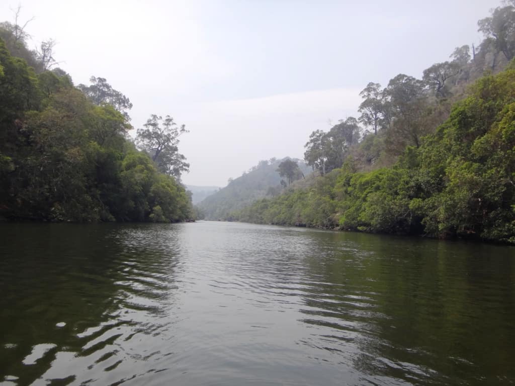
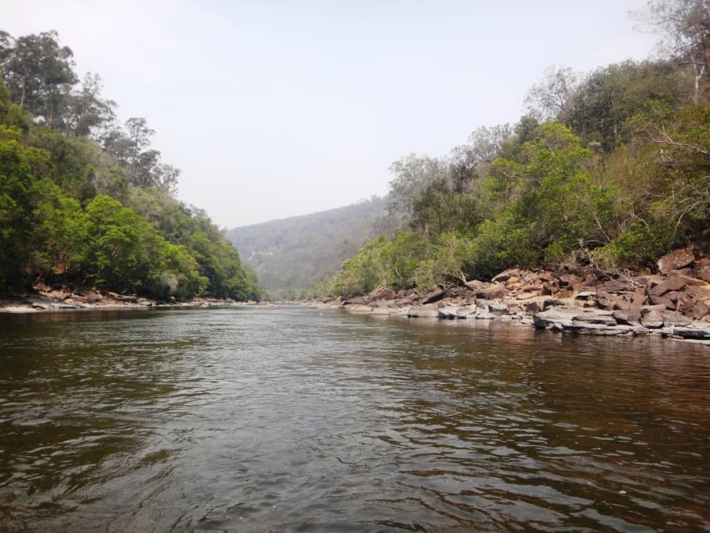
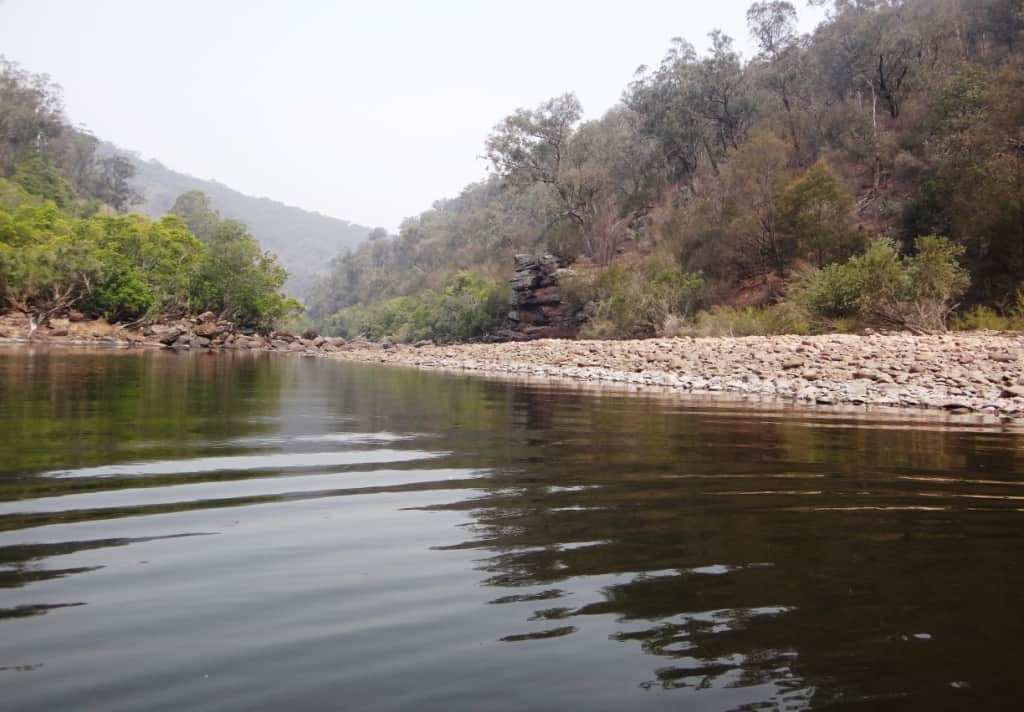
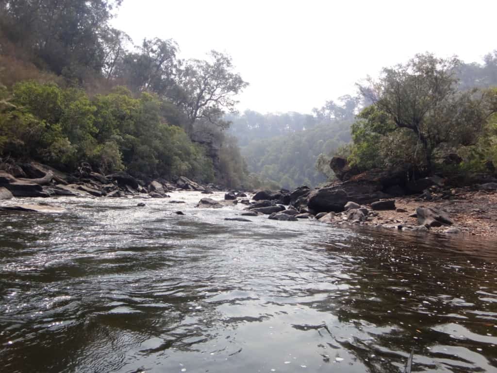
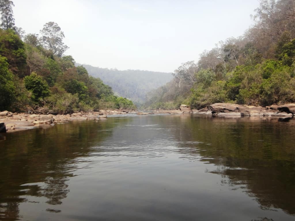
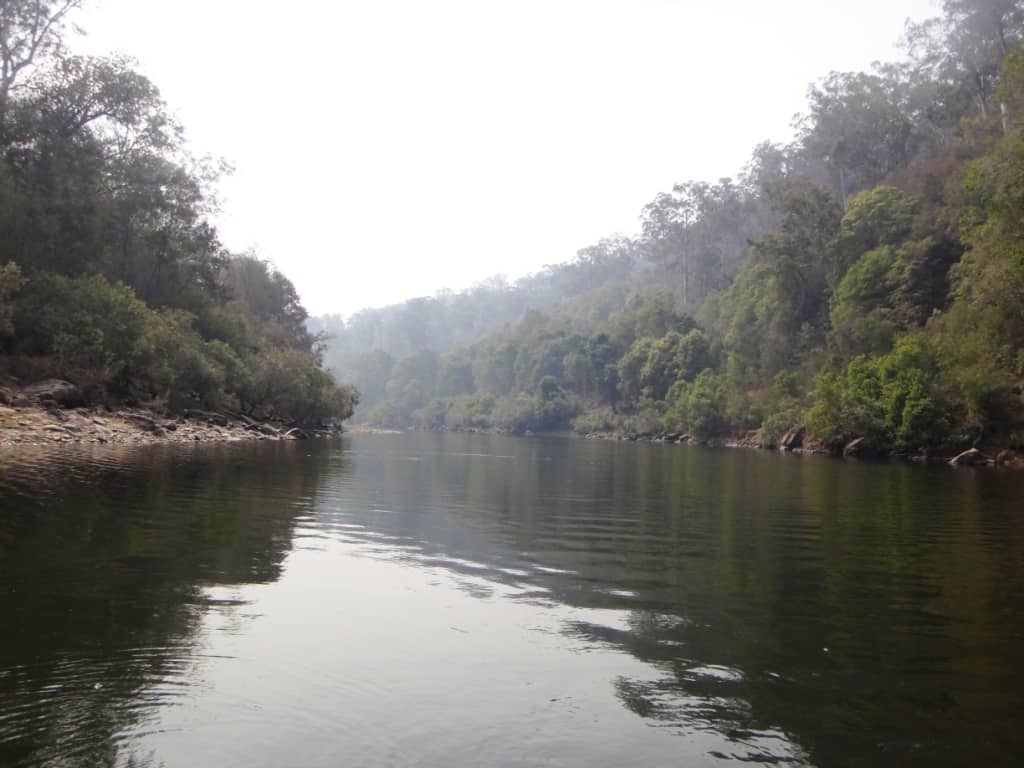
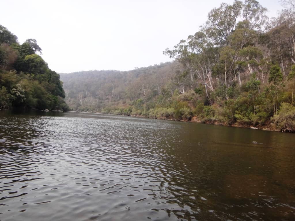
It goes on and on forever.
Unfortunately it means (as such things always do) that there is a major drop ahead. And here it is: the Amphitheatre rapid. It started way up there. I walked it – on the true left bank)
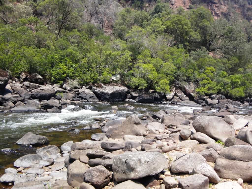
And it is still going on way down there.
And some more. It would be quite a thrill and/or dangerous iof there was a bit more water.
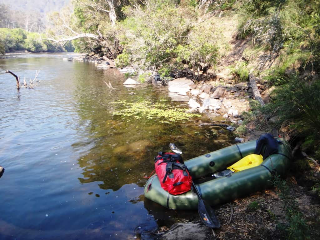
I put in again at the bottom.
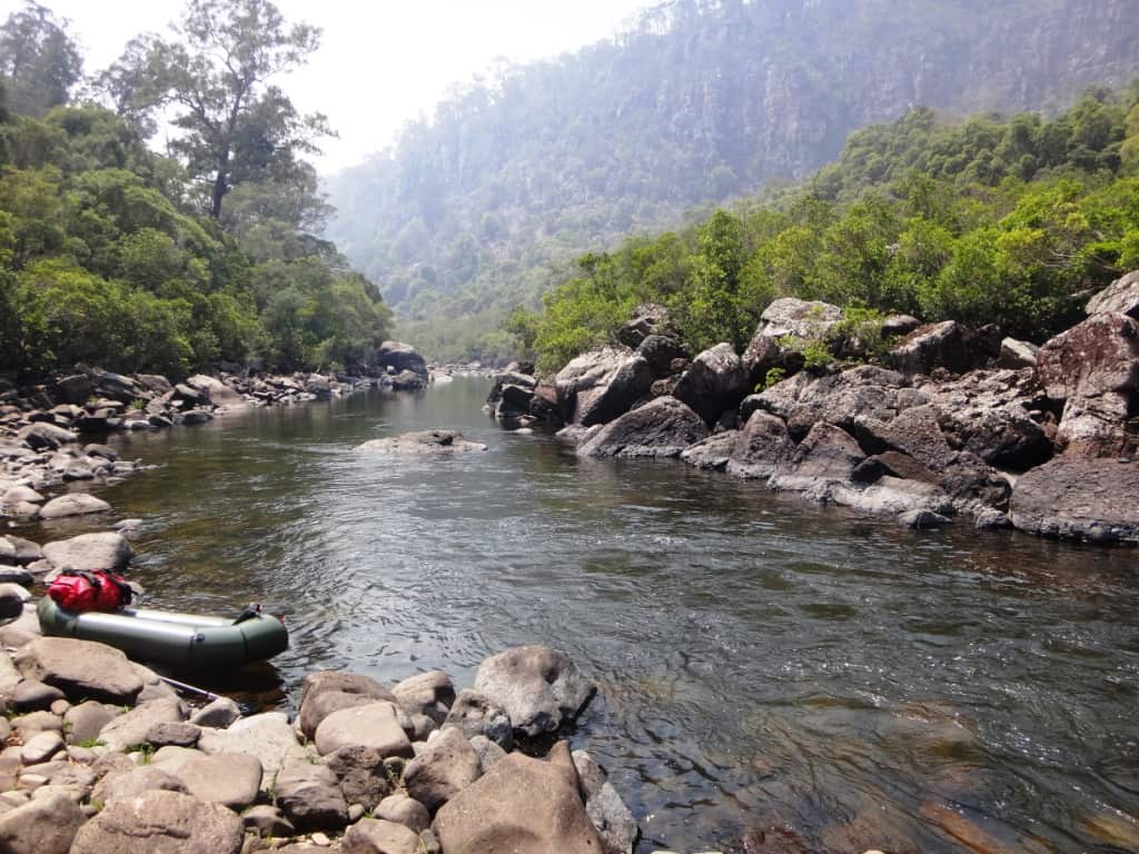
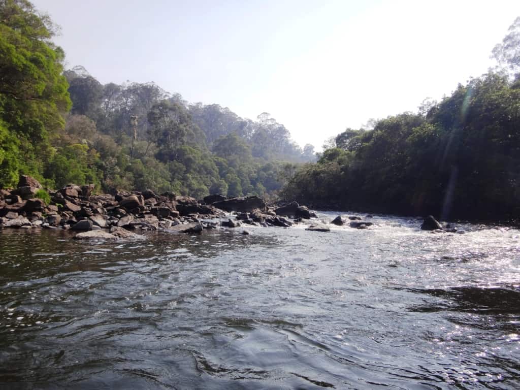
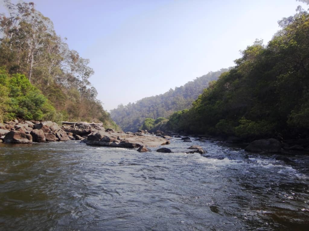
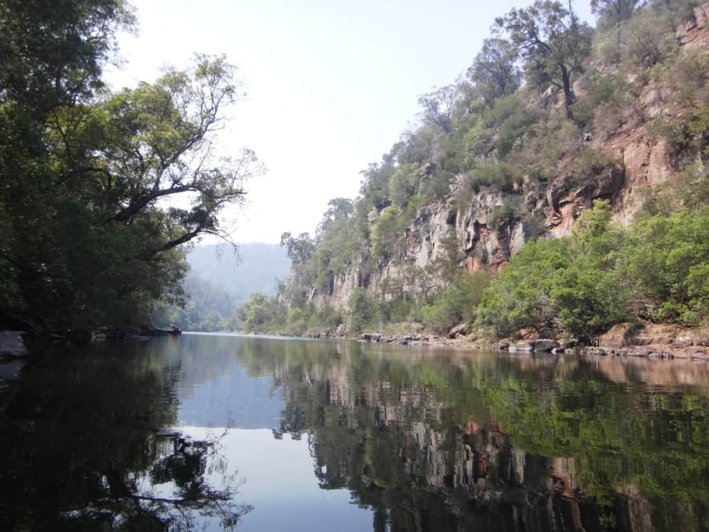
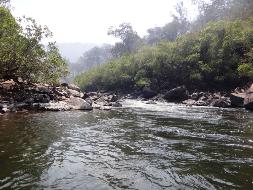
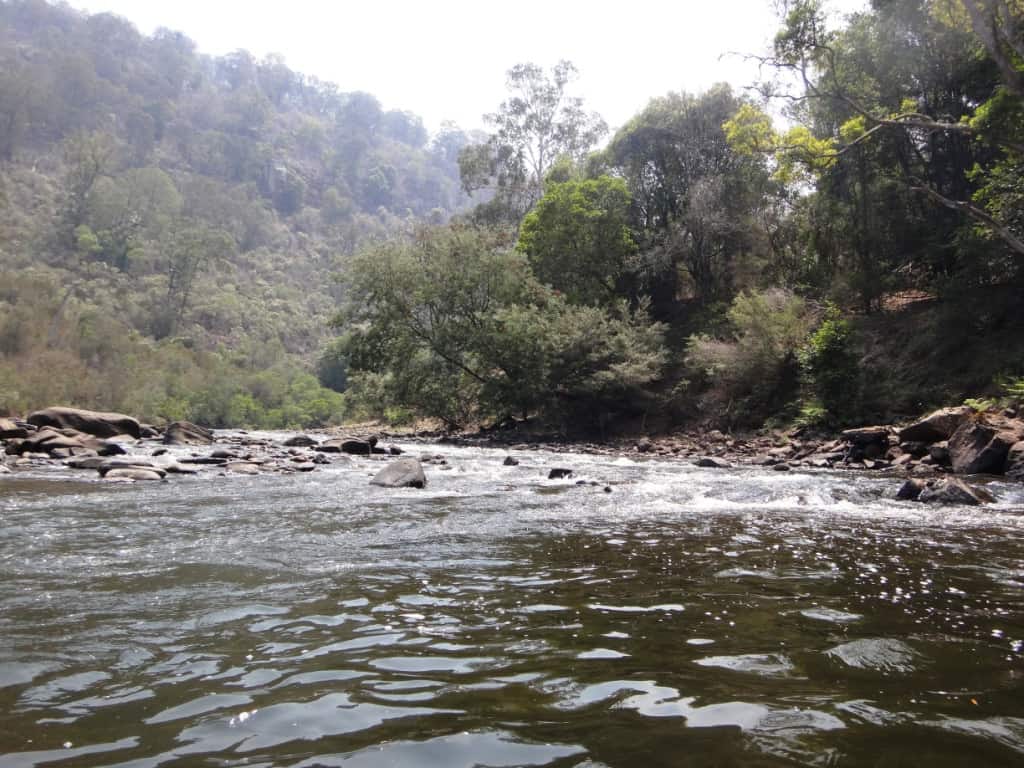
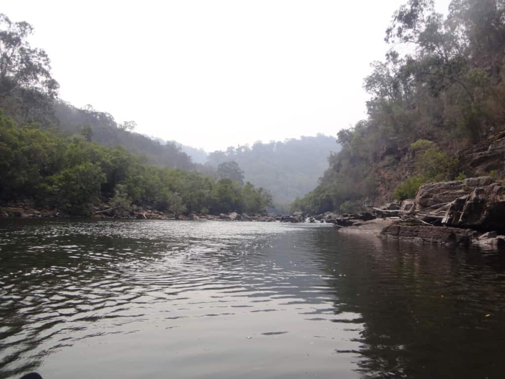
Here is a look at the wonderful siltstone cliffs of the amphitheatre. There is a walking track to a lookout on the tops of them.The river becomes quite gorgey for a couple of km – and there are about 5 Grade 3 type rapids.
Like this one, but I just bumped on down it.
Another one.
Could be quite exciting in higher water.
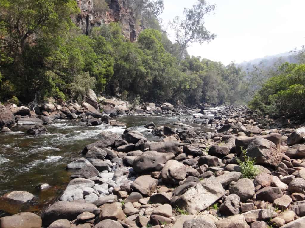
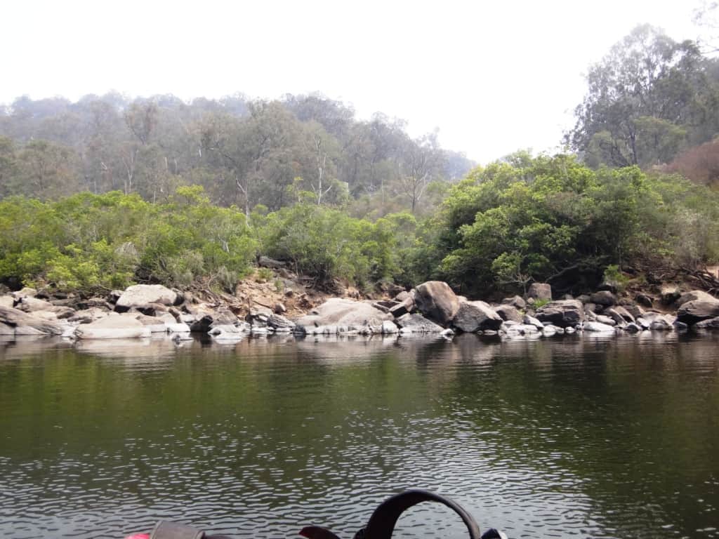
Time for a lunch stop in a shady spot on the true right bank. It was quite easy to pick up a few bits and pieces of smashed canoe (centre)!
Another Grade 3 rapid.
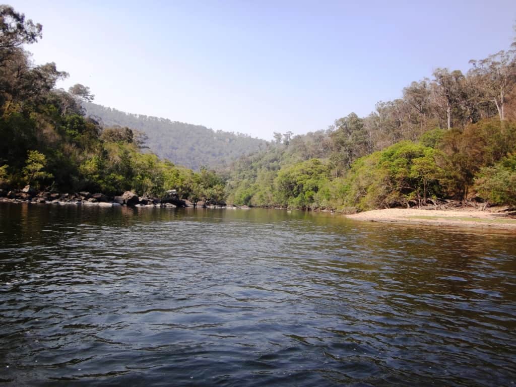
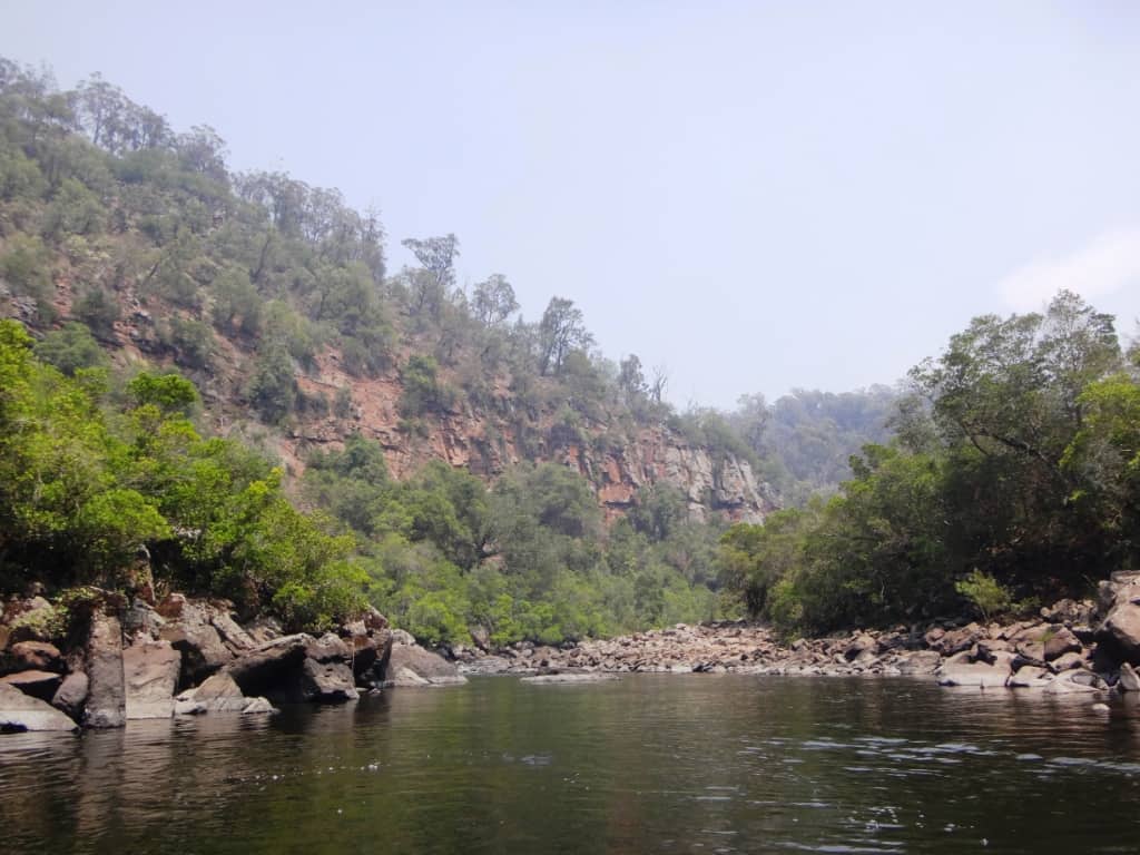
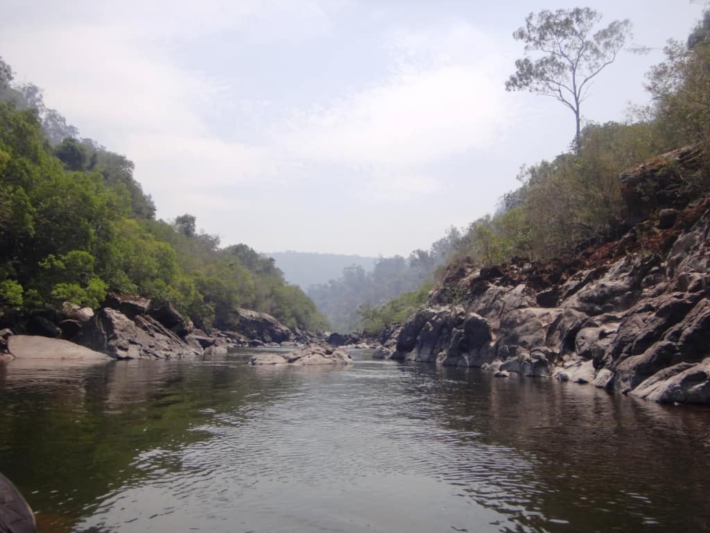
Then just deep slow pools and pebble races till we get to Woolshed Creek and the Den of Nargun.
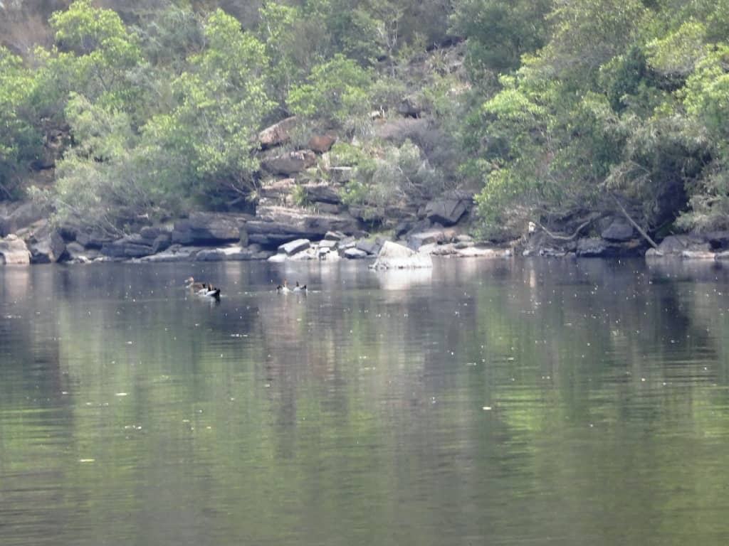
Some ducks enjoying the river too.
Woolshed Creek and the Den of Nargun. You can camp here or walk up the creek for car access if you want a shorter pack rafting trip. You need to keep a sharp lookout on the true right bank. There is a nasty drop right after it which you can portage on the right bank.
That was it up there.
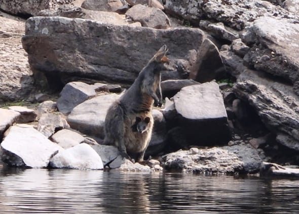
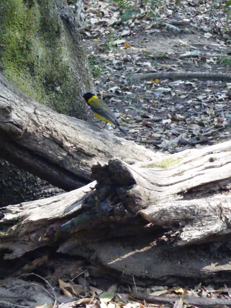
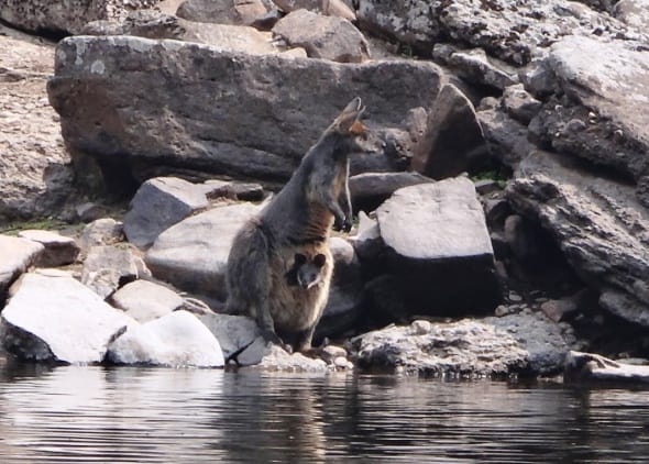
What a treat to see these two little guys. It was a hot afternoon so there were lots of them out having a drink to cool off.
An interesting monolith.
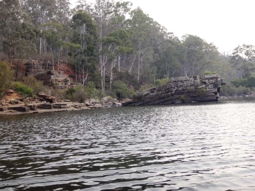
What a spectacular rock-face.
Finally the ruins of the Glenaladale Weir loom into sight, like something out of Ancient Egypt. A fine spot for an overnight camp – and a but of an explore of an interesting piece of Gippsland’s history.
What a wonderful place for swallows to nest: there were dozens of them wheeling and curving around the ends of this buttress.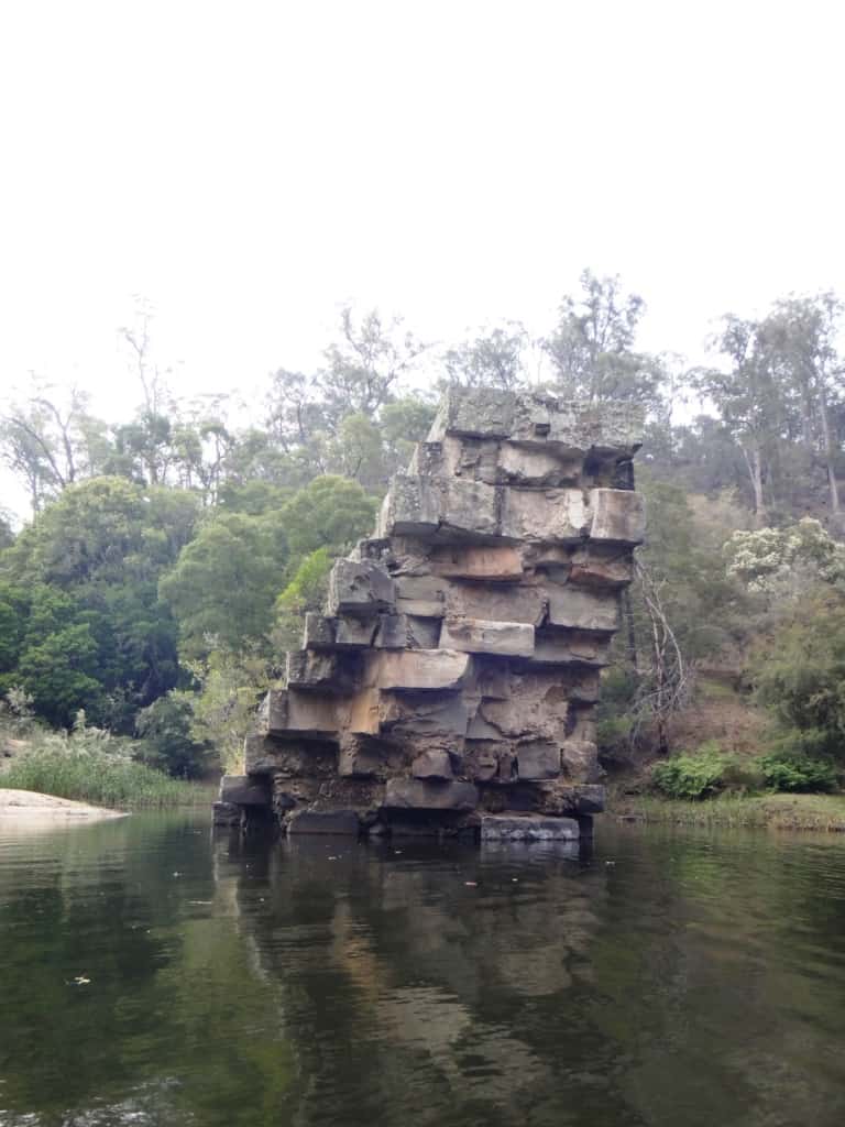
I will have lots more photos tomorrow after I have spent the night relaxing and cooling down.
River Heights: Glenaladale Weir: Began Trip .65 ended .66; Waterford: 1.63-1.57; Crooked River: 1.31 – 1,26. These figures probably give you some idea about the comparability of the three gauges. Adventure Pro claimed the river was canoeable from .6 on the Glenaladale Gauge. This is probably about right – for packrafts anyway, but you would expect portages across many rapids. I know I just managed a few and portaged 2.3 at nearly 2″ more water than that. That being said this section of the river is characterised my very many long still deep so you might enjoy the experience even when river heights are low – as they are at the moment.sections where you might have to paddle against a headwind. It would be much more enjoyable with a couple more inches of water eg .8 on the Glenaladale Gauge.
Times:
Angusvale Camp Ground to Jorgensens 4 hours
Jorgensens to Amphithesatre Rapid 3 hours
Amphitheatre to Den of Nargen 2 hours
Den of Nargen to Glenaladale Weir 2 hours
Glenaladale Weir to Final Fling 2hours
Final Fling to Glenaladale Bridge 3/4 hour.
Portages approx 1/2 hour.
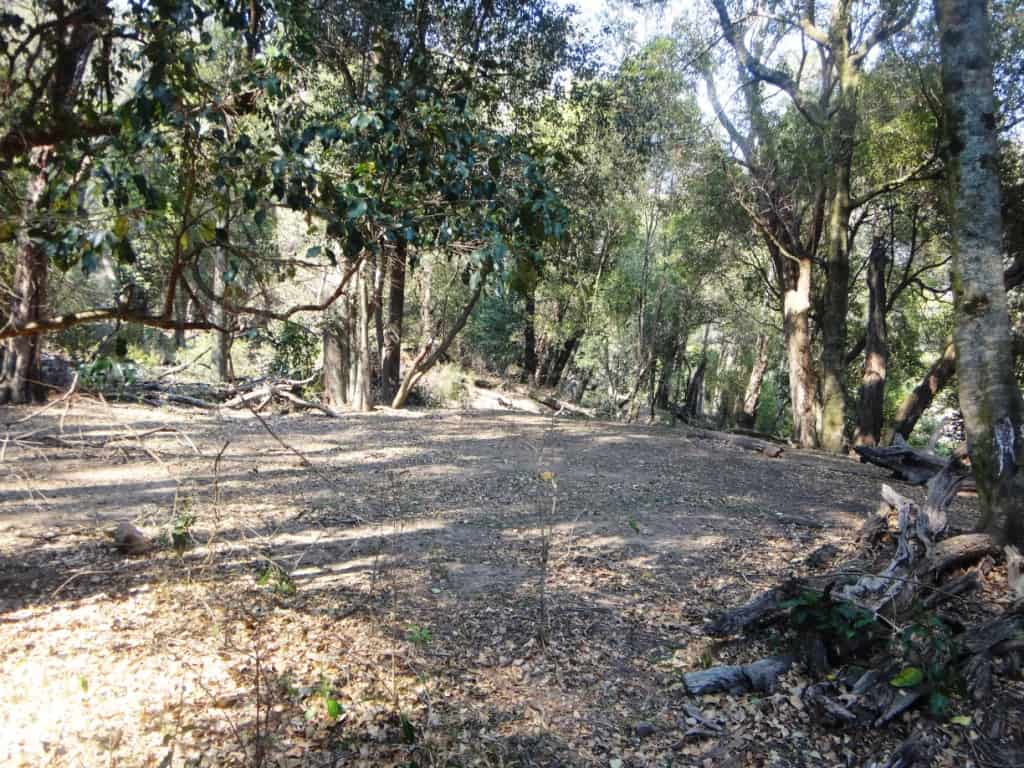
Campsites: are not wonderfully numerous on this section of the river., though they are to be found. There are hardly any between the Amphitheatre rapid and the Den of Nargen for example, though there does appear to be a bench a chain up from the river on the true right bank which might provide some good spots. There are also not many spots after the Glenaladale Weir, but there are some. Mostly folks have been camping on the lovely sandbars along the way and at the confluences of major creeks. There are shadier spots a little further away from the river which you really need to look out for (look for the benches I mentioned earlier). There is a delightful spot on the true left bank just above the Roaring Mag Creek, for example.
The Glenaladale Weir camping spot is a delight. I camped there and above and opposite Jorgensens. The trip took me 14 hours on the water, so it would have become fairly tedious if done over only two days. You would have to make an early start and a late finish at very least. If you are packrafting you can get out at the Den of Nargen and walk up to the Caravan Park.. Doing so would cut nearly five hours off the trip making it much more suitable for an overnight trip. Of course with more water (and fewer years of age) it might be done much more quickly. You should allow some leeway so that you can perhaps wait an hour or more for a suitable camp to show up.
See Also:
http://www.theultralighthiker.com/pack-rafting-the-remote-wonnangatta/
http://www.theultralighthiker.com/remote-wonnangatta-day-two/
http://www.theultralighthiker.com/a-wonnangatta-spring/
http://www.theultralighthiker.com/a-wonnangatta-spring-day-two/
http://www.theultralighthiker.com/a-wonnagatta-spring-day-three/
Section 1: http://www.theultralighthiker.com/wonnangatta-kingwell-bridge-to-black-snake-creek/
Section 2: http://www.theultralighthiker.com/wonnangatta-black-snake-to-hut-creek/
Section 3: http://www.theultralighthiker.com/wonnangatta-hut-creek-to-waterford-bridge/
http://www.theultralighthiker.com/canoe-wonnangatta/
For River Heights: http://www.theultralighthiker.com/canoeing-the-wonnangatta-catching-the-wave/
http://www.theultralighthiker.com/pack-rafting-the-wonnangatta-mitchell/
http://www.theultralighthiker.com/videos/dawn-surprise-rapid-wonnangatta-river-australia-day-2017/
http://www.theultralighthiker.com/wonnangatta-waterford-to-angusvale-day-one/
http://www.theultralighthiker.com/wonnangatta-waterford-to-angusvale-day-two/
http://www.theultralighthiker.com/wonnangatta-waterford-to-angusvale-day-three/
http://www.theultralighthiker.com/videos/canoe-wonnangatta-the-movie/
https://www.theultralighthiker.com/2019/12/23/marvelous-mitchell-river-day-1/