best victorian walking track

Upper Yarra Track Section Eleven: Ada Tree to Big Pat’s Creek:

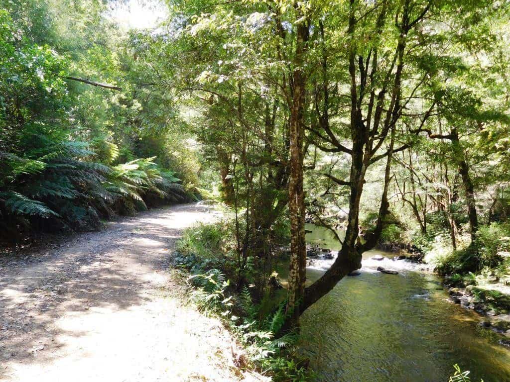
As you can see the track is well made, delightful  and easy to follow from the Ada Tree all the way to Warburton, with numerous signposts. If you have a couple of days to spare, this is a pleasant jaunt. You can turn it into a loop: http://www.theultralighthiker.com/ada-tree-loop-walk-4-days/ Gerard White and his partner Bridgette completed […]

Upper Yarra Track Section Eleven: Ada Tree to Big Pat’s Creek: Read More »

Upper Yarra Track Section Eight: St Gwinear Track Junction to Whitelaw’s Hut:

The route along the tops is a delightful mix of alpine heath and snow gums. Every couple of kms you will find a small stream (sometimes to the side of the track) with fresh water. For example there is water near the St Gwinear turnoff, just after Mt St Phillack, at Mustering Flat and in

Upper Yarra Track Section Eight: St Gwinear Track Junction to Whitelaw’s Hut: Read More »

Upper Yarra Track: Early Visits to Yarra Falls:

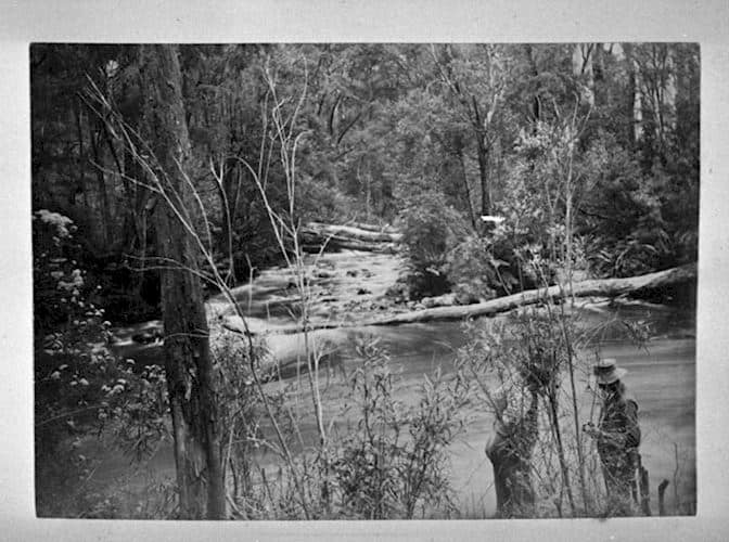
  The Argus Melbourne Wednesday 21 December 1904: UPPER YARRA FALLS, A.J.Campbell Junction of Yarra and Falls Creek (1905) Interesting but rarelv visited scenes are to be found at the upper sources of the Yarra between Mount Baw Baw and the main Dividing Range The locality has never been completely surveyed and many of the

Upper Yarra Track: Early Visits to Yarra Falls: Read More »

Upper Yarra Track 1912 Victorian Railways Brochure:

Picturesque Victoria and How to Get There: http://handle.slv.vic.gov.au/10381/299535 Click on: ‘The Warburton-Walhalla Trip via Yarra Falls and Mount Baw Baw’: PS: It is in Pdf. I have tried and tried to convert this to Word so I can post it whole, but I have failed…There is an absolutely beautiful [c 1900] photo by A.J. Campbell

Upper Yarra Track 1912 Victorian Railways Brochure: Read More »

Kirchubel: If you go nowhere else in the world, at least go here.

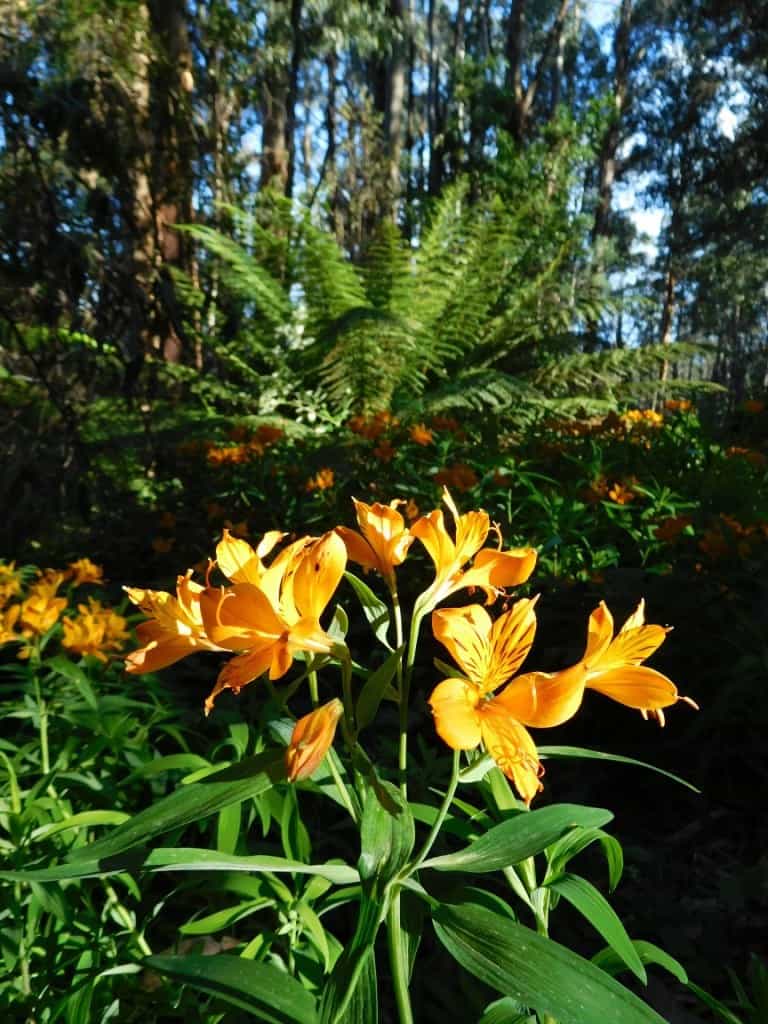
Just a few kms walk outside the small township of Tanjil Bren in Gippsland Victoria is the most beautiful place in the whole world! You go out along Saxtons Road beginning in the heart of Tanjil Bren. Many beautiful wildflowers carpet the verges: buttercups, And Alstromoerias. Just before Downey you turn west onto the old

Kirchubel: If you go nowhere else in the world, at least go here. Read More »

Upper Yarra Track Winter Route: Western Tyers to Tanjil Bren:

After you have camped the night, cooked and eaten your trout &/or crayfish, walk West along the Tyers. The Western Tyers Road follows the course of the old timber tramline which carried the forest’s products via Caringal to Collins Siding (Erica) and onwards to a wider market where they were used to construct houses and

Upper Yarra Track Winter Route: Western Tyers to Tanjil Bren: Read More »

Baw Baw Plateau:

Has to be THE most beautiful area in the world. We spent yesterday afternoon driving and walking around parts of its South Face working out possible winter routes for our Upper Yarra Track project, discovering mainly that we need to go back there for many awe-struck days yet. More pics and posts to follow but

Baw Baw Plateau: Read More »

Moroka Gorge Falls:

  A friend sent me a digital copy of this C19th Von Guerard painting (above). I have lurked in the Mount Darling-Snowy Bluff Wilderness quite a lot…I thought we had been to the Moroka Falls (twice – eg http://www.theultralighthiker.com/camping-by-the-moroka-river/) but we had only been to the UPPER Falls – as the clip from Vicmap Moroka

Moroka Gorge Falls: Read More »

Upper Yarra Track – Winter Update:

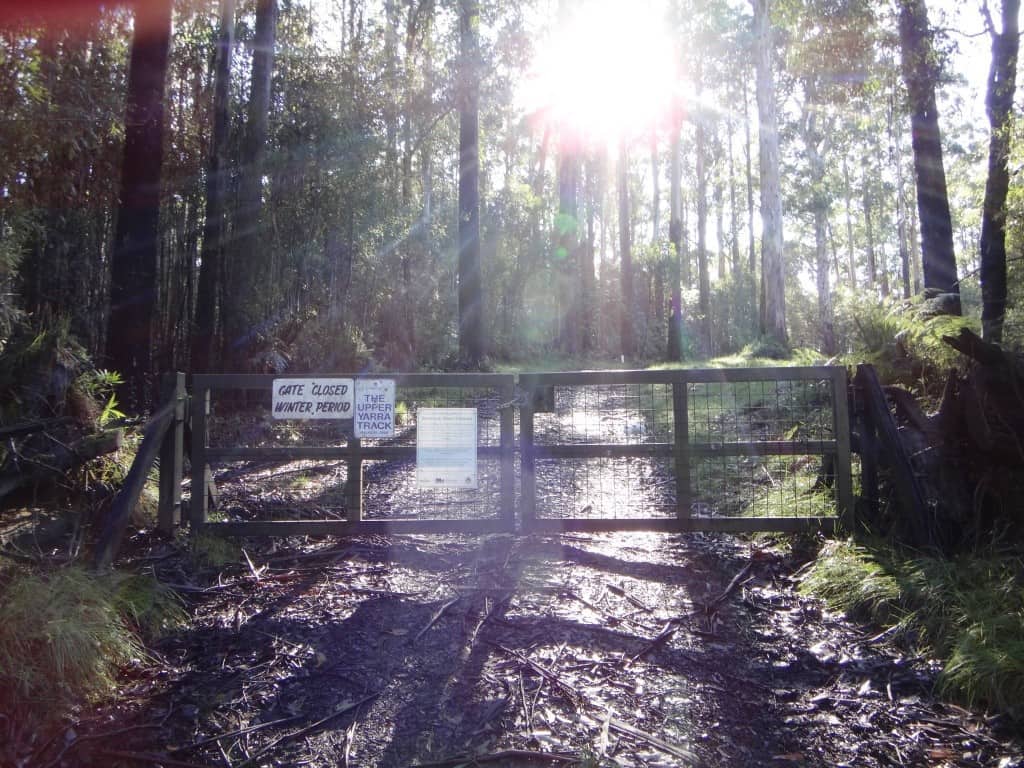
Spot and I planned to finish checking out the Upper yarra Track on Sunday, but we had to defer as seasonal road closures have come into force. The gates now have all these nice new signs on them. Perhaps someone at DSE has been noting my posts. Now we have dates for the road closures

Upper Yarra Track – Winter Update: Read More »