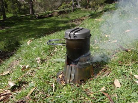
Hiking

Upper Yarra Track Map:

Here is a map showing the whole of the (Extended) Upper Yarra Track from Lilydale all the way to Moe, approximately 250 km and 8-10 days: Australia’s oldest and best long distance hiking track. It could be a better map, but it is better than no map. I have used the 1:250,000 Australian Topo map

Upper Yarra Track Map: Read More »

Upper Yarra Track Instructions:

I have posted dozens of times about this wonderful trail which (in an extended version) can be walked all the way from Moe to Lilydale. Here  is some indication of track times and distances and here is a detailed set of instructions. Below you can find some of my posts about it in the order

Upper Yarra Track Instructions: Read More »