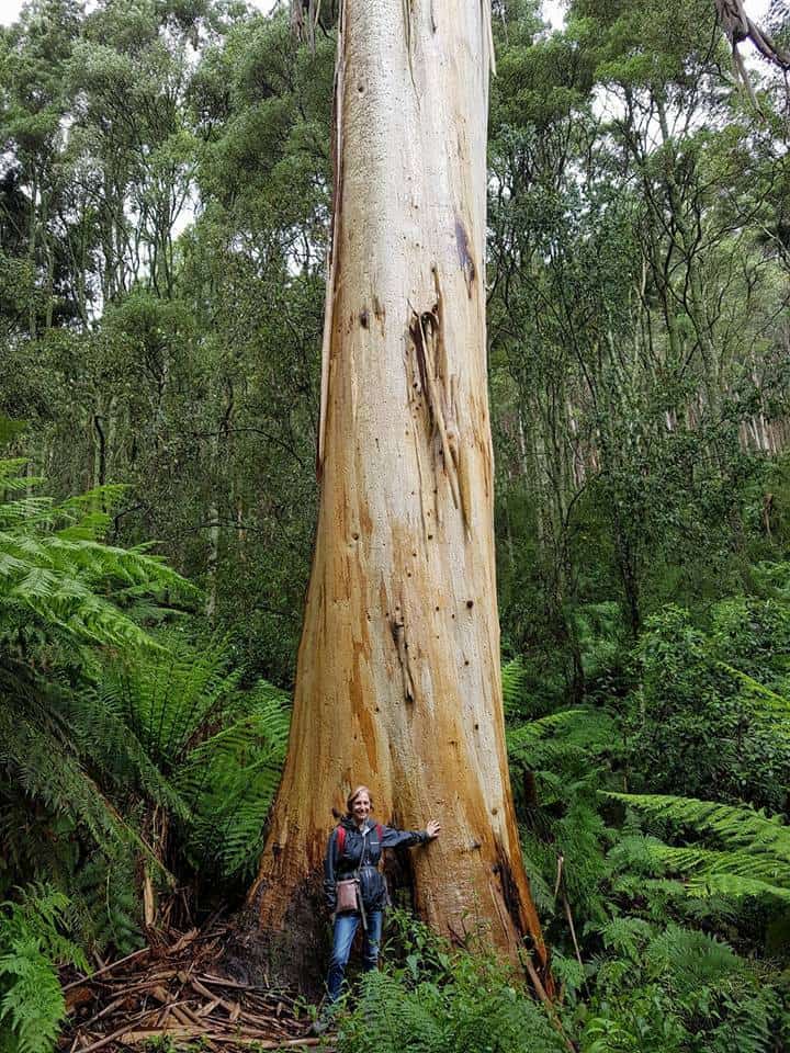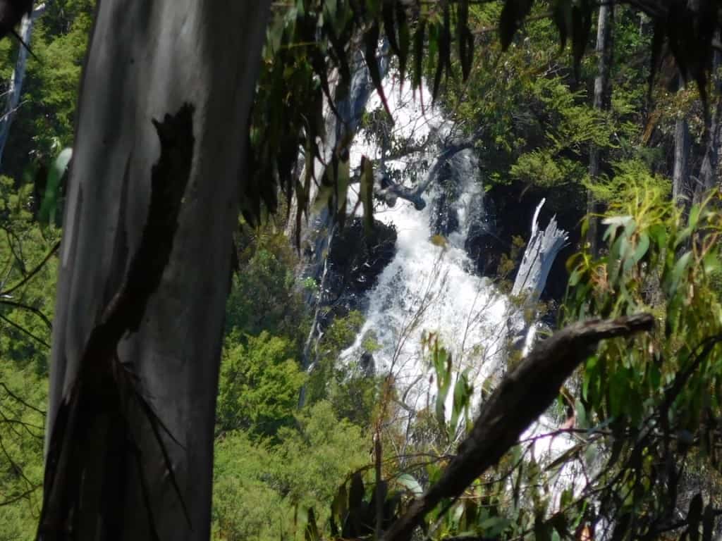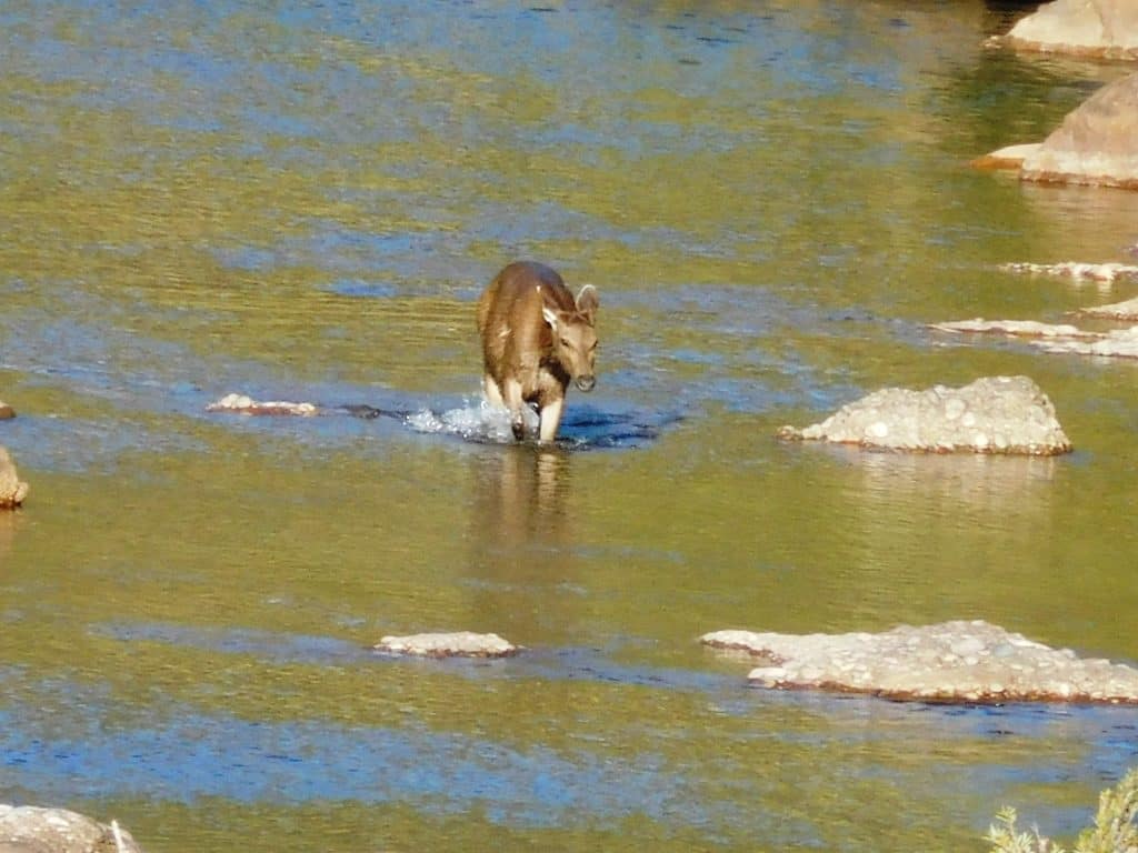
Some Days are Sapphires:
Yesterday was. Our 45th wedding anniversary – so naturally we went for a walk! Mt St Gwinear to Mt St Phillack return makes an enjoyable 12 km on a very hot day down here in the valley (34C). Up there (in the clouds) it would have been at most 21C but with a cool wind […]