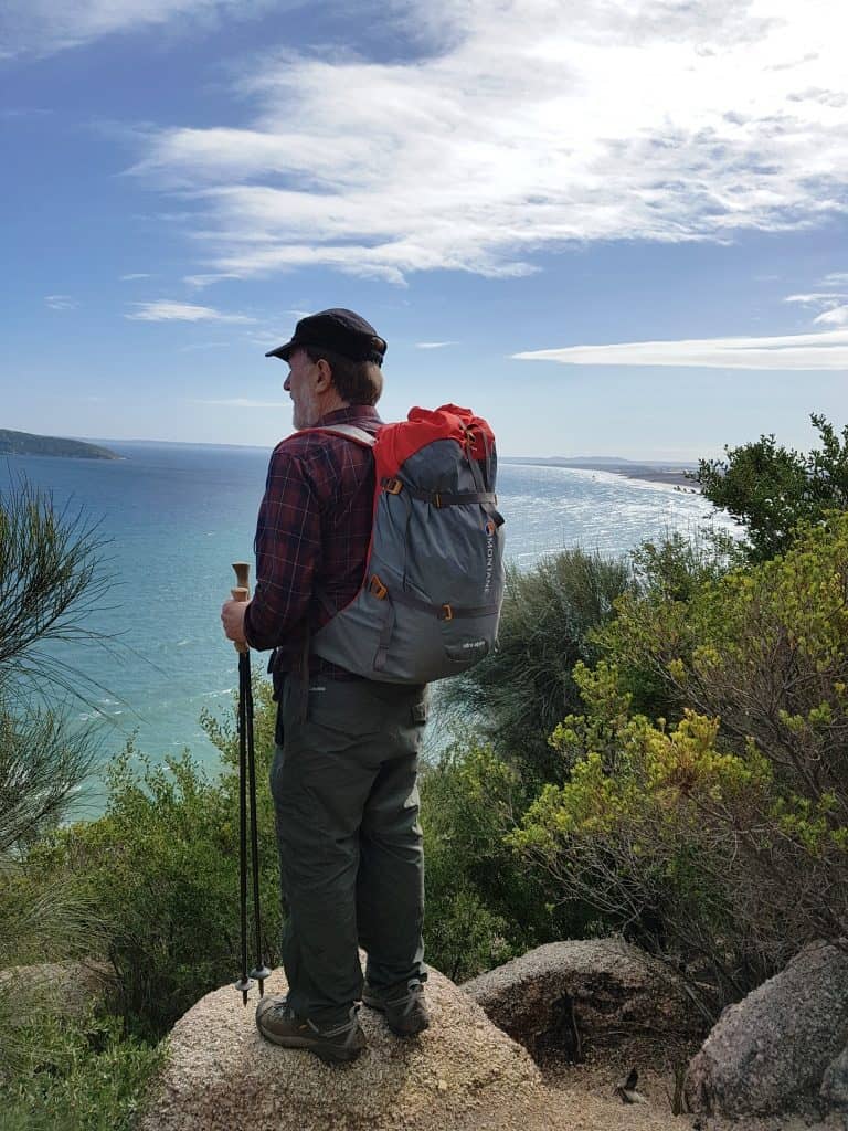
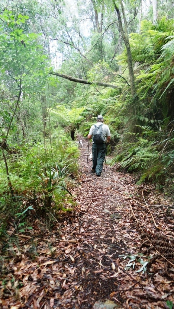
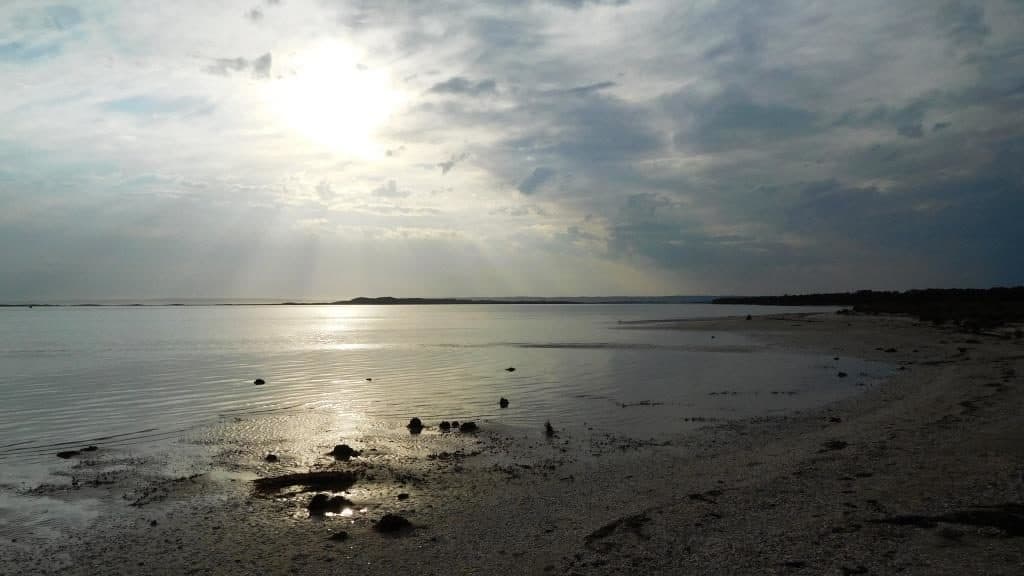
best Australia walks

On the Tip of the Tongue

Tongue Point and Fairy Cove, Wilsons Prom, Gippsland, Victoria, Australia: A magical 20C winter’s day yesterday, so time to try out Della’s new heart and my new pack http://www.theultralighthiker.com/the-stout-hikers-pack-2/ with a walk in Wilson’s Prom NP, Gippsland, Victoria. I will let her begin: ‘Return to fitness #2: Beautiful winter day and further heart progress – Steve

On the Tip of the Tongue Read More »

Upper Yarra Track Glamping: Baw Baw Overnight Hike:

This is a beautiful glamping trip. You can walk from the Mushroom Rocks Carpark (just North of Erica – or from the Mt St Gwinear Carpark) to the Baw Baw Village in approx 5 ½ hours (our retiree speeds with overnight packs) each way. There is accommodation there year round, but at least three nights

Upper Yarra Track Glamping: Baw Baw Overnight Hike: Read More »

Upper Yarra Track Section Eight: Baw Baw to Newlands Rd

Della: Steve and I, with Tiny and Spot, spent the last 2 days walking over the Baw Baw Plateau from Baw Baw across to Newlands Road on the Upper Yarra Walking Track. It was a delightful walk and we selected good weather for it (which is needed!). One section on the first day was particularly

Upper Yarra Track Section Eight: Baw Baw to Newlands Rd Read More »

Upper Yarra Track Section Eleven: Ada Tree to Big Pat’s Creek:

As you can see the track is well made, delightful  and easy to follow from the Ada Tree all the way to Warburton, with numerous signposts. If you have a couple of days to spare, this is a pleasant jaunt. You can turn it into a loop: http://www.theultralighthiker.com/ada-tree-loop-walk-4-days/ Gerard White and his partner Bridgette completed

Upper Yarra Track Section Eleven: Ada Tree to Big Pat’s Creek: Read More »

Upper Yarra Track: Section Five: Erica to Walhalla:

This is a delightful easy section following historic tramways linking two of the most beautiful small towns in the world. It perambulates gently through majestic mountain ash and tree fern gullies with splendid views of the awesome Thomson River. It offers numerous opportunities to sightsee, sidetrack or camp. 12 km – @ 4 hours. NB:

Upper Yarra Track: Section Five: Erica to Walhalla: Read More »

Up Into the Singing Mountains:

Our family celebrate Xmas tomorrow (due to work commitments), so what better day to continue our exploration of the ‘closed track’ which used to link Downey (North of Tanjil Bren) with Newlands Rd (Baw Baw Plateau)? We are hoping that this track will complete our ‘Winter Route’ of The Upper Yarra Track. It has been

Up Into the Singing Mountains: Read More »

Upper Yarra Track Winter Route: Western Tyers to Tanjil Bren:

After you have camped the night, cooked and eaten your trout &/or crayfish, walk West along the Tyers. The Western Tyers Road follows the course of the old timber tramline which carried the forest’s products via Caringal to Collins Siding (Erica) and onwards to a wider market where they were used to construct houses and

Upper Yarra Track Winter Route: Western Tyers to Tanjil Bren: Read More »

Moroka Gorge Falls:

  A friend sent me a digital copy of this C19th Von Guerard painting (above). I have lurked in the Mount Darling-Snowy Bluff Wilderness quite a lot…I thought we had been to the Moroka Falls (twice – eg http://www.theultralighthiker.com/camping-by-the-moroka-river/) but we had only been to the UPPER Falls – as the clip from Vicmap Moroka

Moroka Gorge Falls: Read More »

Upper Yarra Track Summary: Cumulative Distances/Times:

NB: This is a summary. These are ‘retiree’ walking speeds. The distances are approximate. You may do the trip much faster, but what’s the hurry? The whole trip would take us (combined age 130) about ten days. Moe-Walhalla will take 2-4 days. If you are young and fit you should be able to ride that

Upper Yarra Track Summary: Cumulative Distances/Times: Read More »